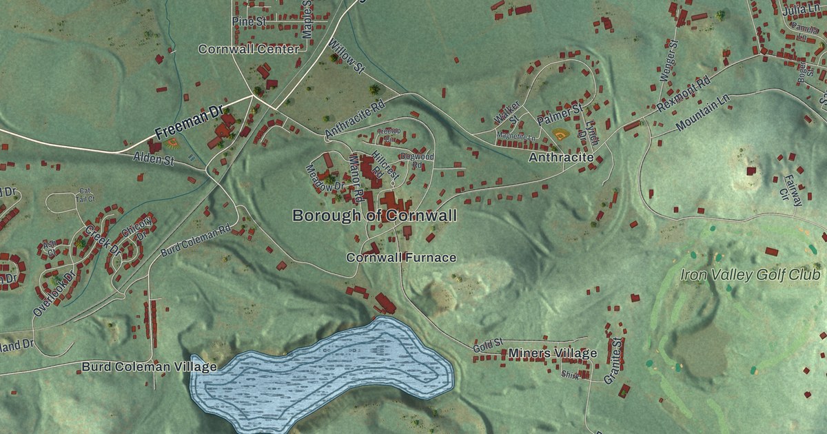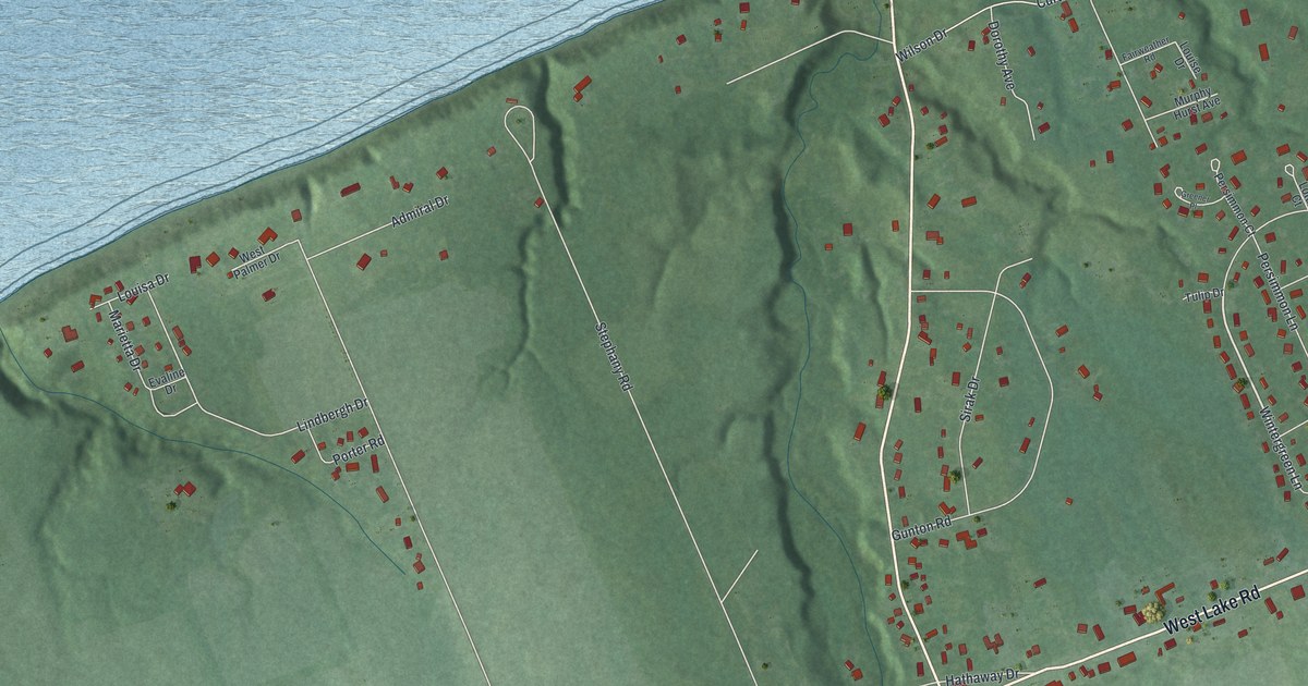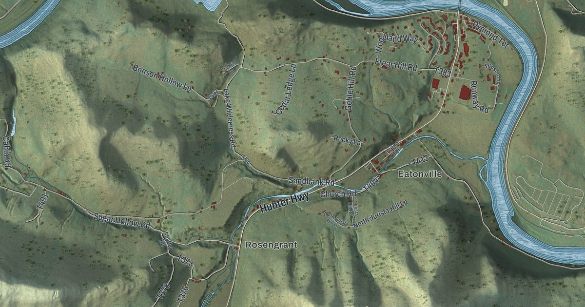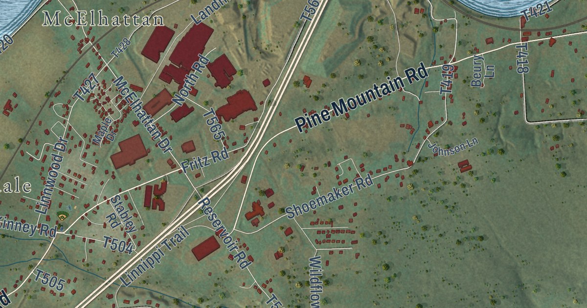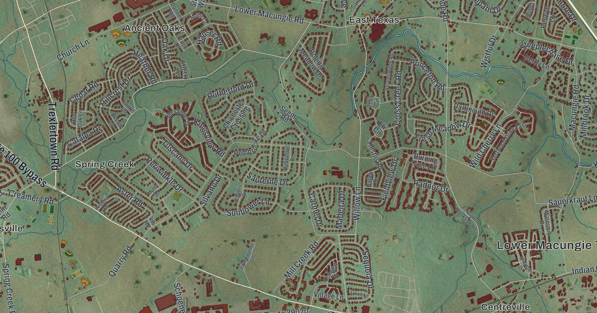
This beautifully detailed map of Lower Macungie, Pennsylvania was created in 2026 using aerial imagery combined with modern topographical, census, street and landmark data. It’s a one-of-a-kind view of Lower Macungie that combines accurate data with a vintage aesthetic. The map shows every building in its true location, many of the roads carry their names, and the shaded topographic relief shows the shape of the land.
Explore an aerial view of Lower Macungie, Pennsylvania
On the map you’ll find Lower Macungie Township Building, Ancient Oaks, Centreville, East Texas, Hensingersville, Minesite, Spring Creek, and Weilersville, along with South Cedar Crest Boulevard, Hamilton Boulevard, West Main Street, Trexlertown Road, and more. If you look closely you can even find your house accurately drawn in its correct location. Zoom in on the preview to look for yours.
Take a closer look at the Lower Macungie map
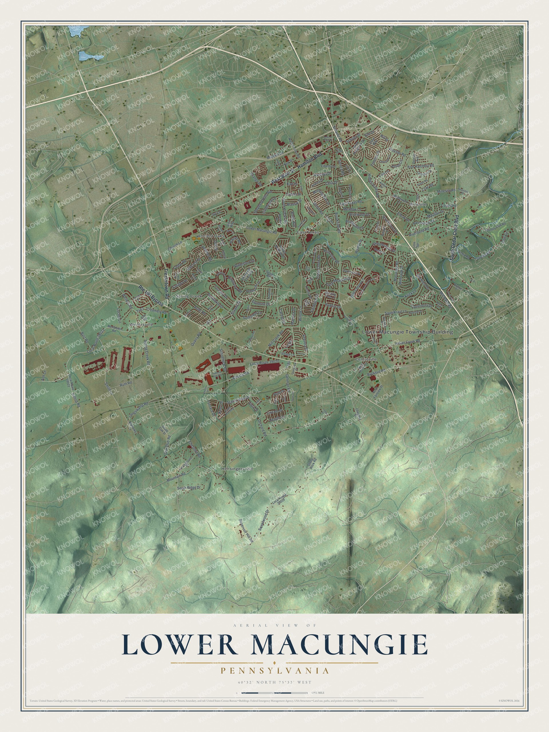
Street and place names on the Lower Macungie, Pennsylvania map
These names are printed on the map of Lower Macungie, Pennsylvania.
Places: Lower Macungie Township Building, Ancient Oaks, Centreville, East Texas, Hensingersville, Minesite, Spring Creek and Weilersville.
Streets and roads: South Cedar Crest Boulevard, Hamilton Boulevard, West Main Street, Route 100 Bypass, Trexlertown Road, Local Route 39023, Local Route 39020, Smith Lane, Fish Hatchery Road, Riverbend Road, Hilltop Road, East Texas Road.
More street names, A to Z
Alburtis Road, Alexander Drive, Andrea Drive, Ascot Circle, Ash Lane, Aster Road, Autumn Ridge Road, Azalea Road, Barley Drive, Beech Lane, Berwyn Lane, Bogie Avenue, Brassie Street, Briarwood Drive, Bridlepath Drive, Brookside Road, Buckeye Road, Burning Tree Lane, Butz Road, Canterbury Drive, Carmel Drive, Catalpa Drive, Cedar Road, Celia Drive, Chablis Drive, Cherry Lane, Chestnut Road, Chestnut Street, Chichester Crossing, Church Lane, Church Street, Clauss Drive, Clearview Circle, Clear Way, Clubhouse Lane, Country Club Road, Covenant Court, Covert Road, Crane Crossing, Creamery Road, Cross Creek Road, Danner Road, Dartmouth Drive, Dayspring Drive, Derby Lane, Devonshire Road, Donegal Drive, Dorney Avenue, Dru Drive, Dubonnet Drive, Eagle Street, Elbow Lane, Eli Circle, Elm Drive, Elm Road, Fetters Lane, Fieldview Drive, Fresh Meadow Drive, Fritch Drive, Furnace Drive, Gehman Road, Golf Circle, Grandview Drive, Grange Road, Greens Drive, Gun Club Road, Hanover Drive, Hauser Road, Hearth Lane, Heather Road, Hensingersville Road, Heritage Street, Hidden Valley Road, Hillcrest Drive, Hill Drive, Hunt Drive, Indian Creek Road, Industrial Park Way, Iris Road, Ivy Lane, Kaitlyn Road, Kart Drive, Kingsview Road, Knerr Drive, Knight Drive, Kressler Road, Krick Lane, Lamplighter Drive, Larch Lane, Larkspur Drive, Laurel Lane, Liberty Lane, Lictenwalner Lane, Lilac Road, Lincoln Drive, Lisa Lane, Little Spr, Local Route 39018, Local Route 39022, Locust Lane, Longswamp Road, Lorene Drive, Lower Macungie Road, Macungie Road, Madeira Drive, Maplewood Lane, Mashie Drive, Mathews Lane, Maulfair Drive, Meadow Lane, Medical Center Circle, Mertztown Road, Millbrook Drive, Mill Creek Road, Mill Race Road, Minesite Road, Mohr Cr, Morning Star Drive, Mountain Road, Myrtle Drive, New Street, Newton Circle, North Brookside Road, North Fairview Street, North Hedgerow Drive, North Krocks Road, North Walnut Street, Oak Drive, Olympic Drive, Oplinger Road, Orchard Road, Orchid Place, Orchid Road, Overlook Drive, Pembrooke Drive, Periwinkle Drive, Pine Grove Circle, Princeton Road, Promise Lane, Quarry Road, Radnor Drive, Ravenswood Road, Red Oak Lane, Reppert Lane, Reservoir Hill Road, Rolling Meadow Drive, Rutherford Drive, Ruth Road, Sandtrap Lane, Sauerkraut Lane, Sauterne Drive, Scenic View Drive, Schantz Road, Schoeneck Road, Schuler Street, Seem Road, Sequoia Drive, Sheep Rock Road, Sheffield Drive, Shepherd Hills Avenue, Sherman Drive, Shiloh Road, Silvano Drive, Somerset Lane, South Krocks Road, South Oak Street, South Ridge Drive, Spring Creek Road, Spruce Road, Stack Drive, Steeplechase Drive, Stein Way, Strathmore Drive, Sunflower Lane, Swabia Court, Sweetwood Drive, Terrwood Drive East, Thistle Road, Tova Circle, Treeline Drive, Tuscany Drive, Village Lane, Vista Drive, Waterfall Drive, Watermill Drive, Weilers Road, Wild Cherry Lane, Willow Lane, Wisteria Road, Wistful Drive.
See the Lower Macungie, Pennsylvania map on a wall
The Lower Macungie map as an 18 x 24 inch print in a black frame.

This beautifully detailed map of Lower Macungie makes an attractive addition to your office, library, or den, and it can even be used to teach children the geography and history of the area. It also makes a great gift for someone who left Lower Macungie and still calls it home. When you’re done exploring, click here to get your copy of the Lower Macungie map.