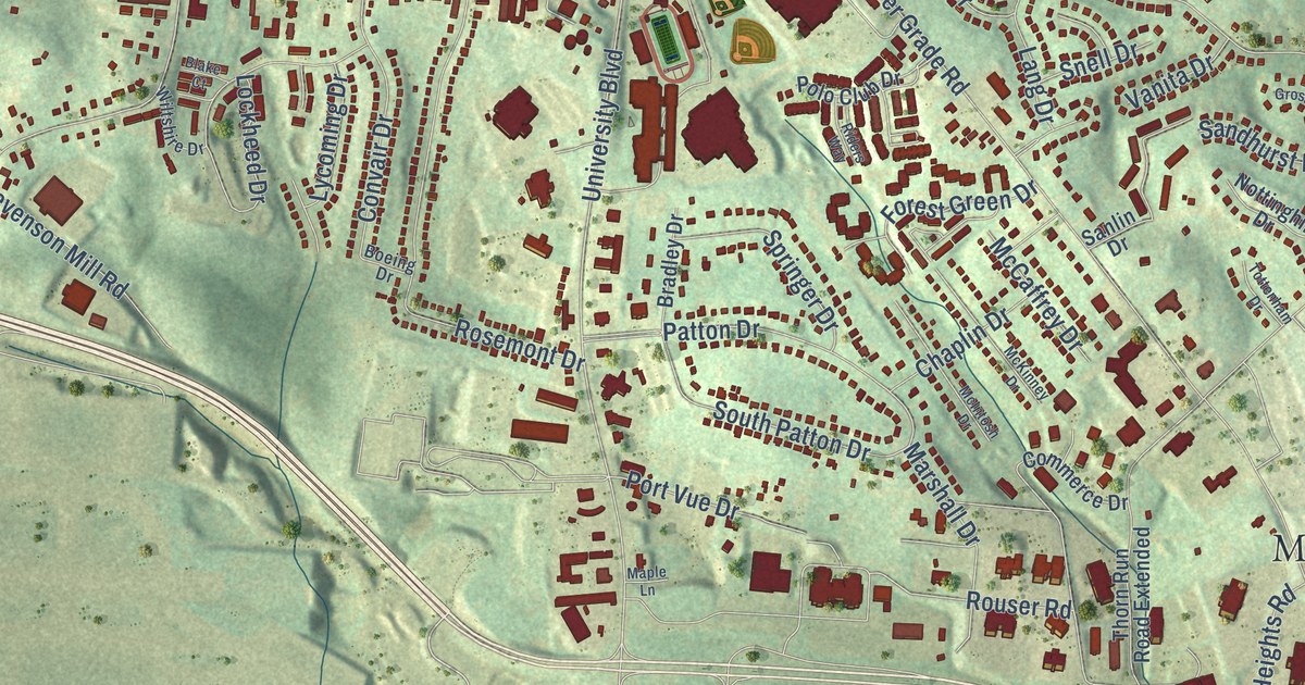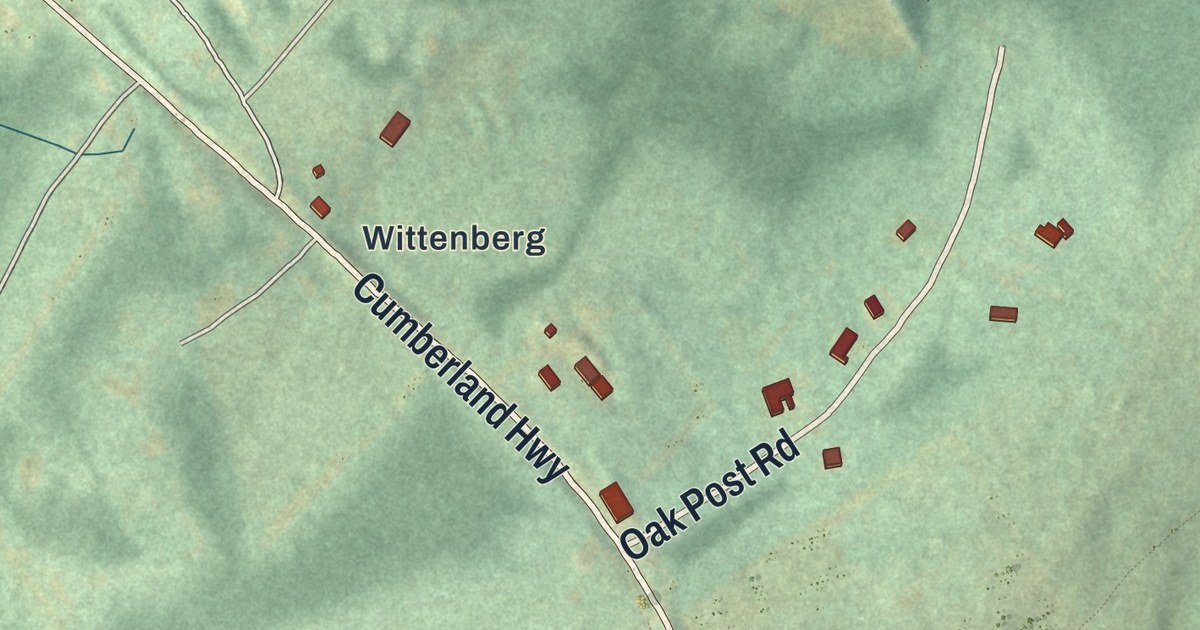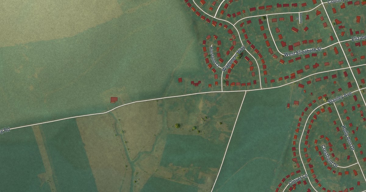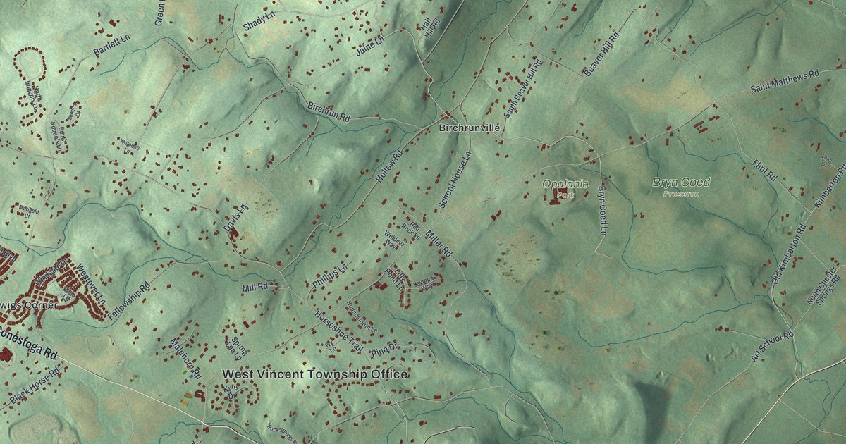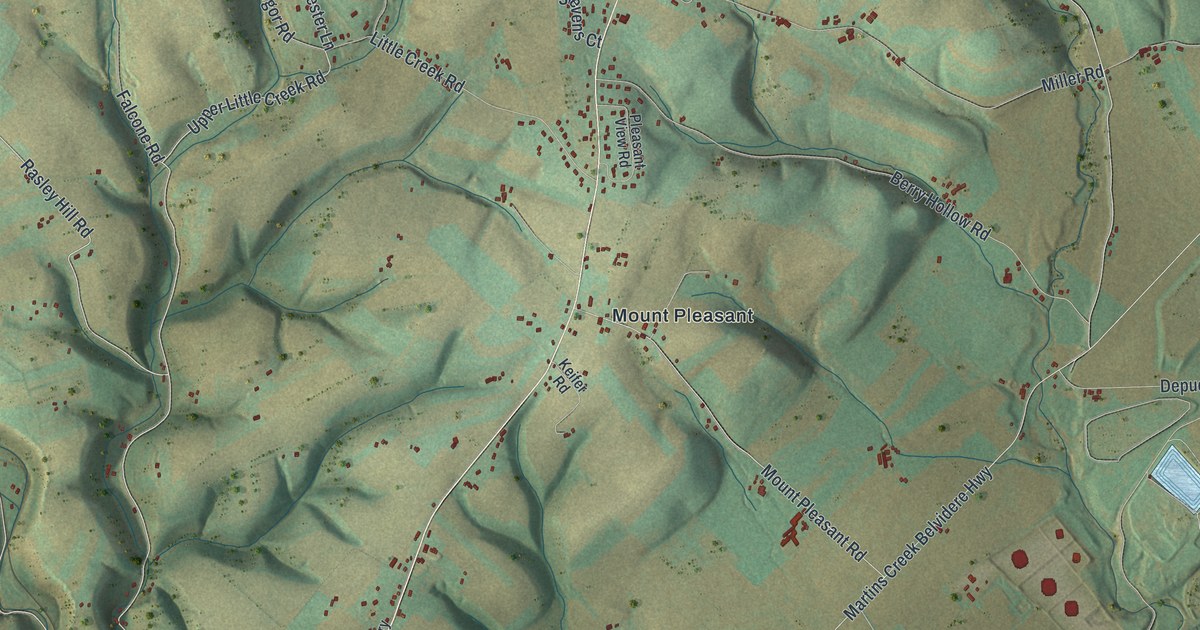
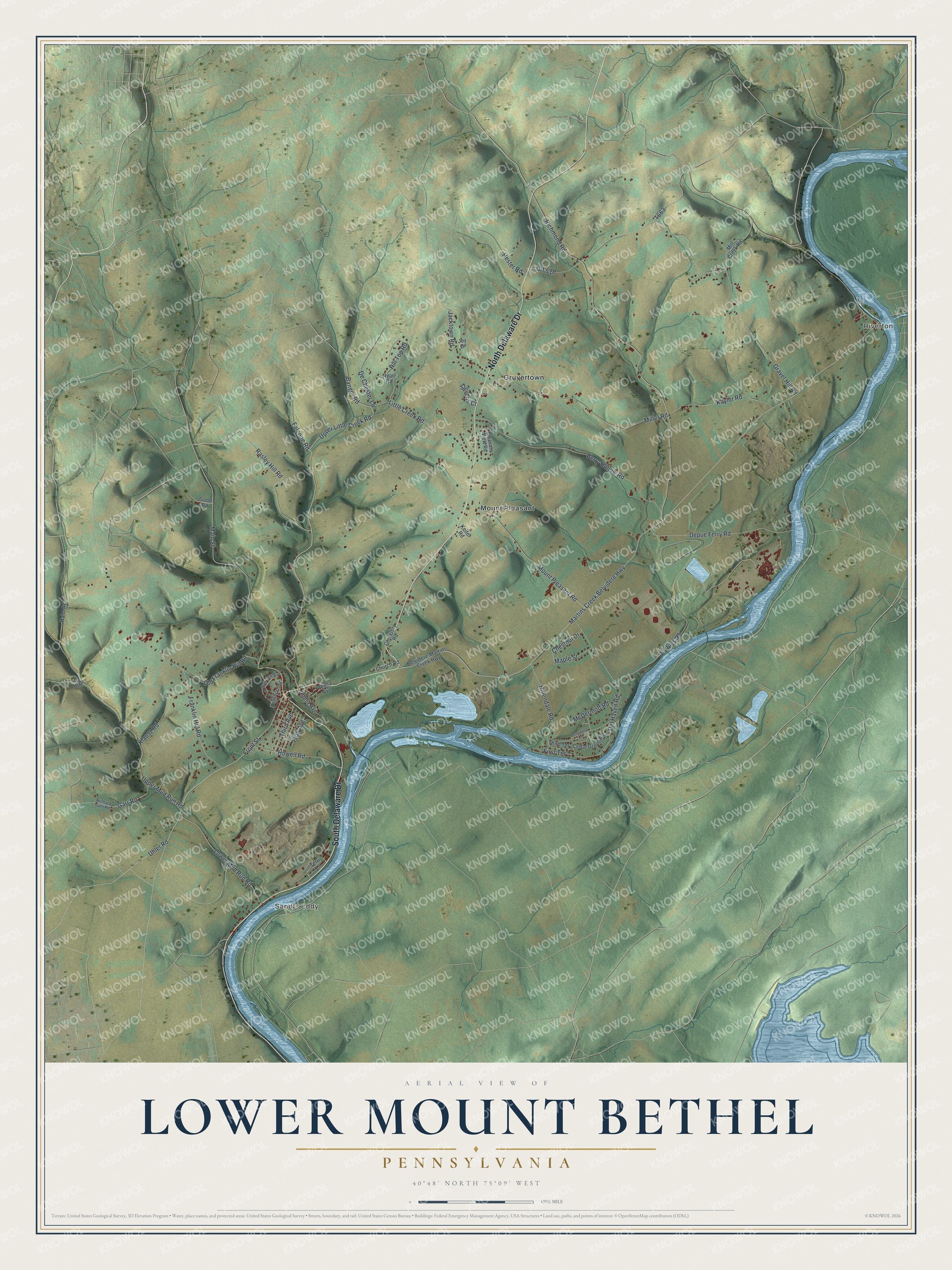
This beautifully detailed map of Lower Mount Bethel, Pennsylvania was created in 2026 using aerial imagery combined with modern topographical, census, street and landmark data. It’s a one-of-a-kind view of Lower Mount Bethel that combines accurate data with a vintage aesthetic. The map shows every building in its true location, many of the roads carry their names, and the shaded topographic relief shows the shape of the land.
Explore an aerial view of Lower Mount Bethel, Pennsylvania
On the map you’ll find Riverton, Sandts Eddy, Gruvertown, and Mount Pleasant, along with North Delaware Drive, South Delaware Drive, Little Creek Road, Main Street, Upper Little Creek Road, Rasley Hill Road, Front Street, Alpha Avenue, and more. If you look closely you can even find your house accurately drawn in its correct location. Zoom in on the preview to look for yours.
Did you know this piece of Lower Mount Bethel, Pennsylvania history?
Ulster-Scot immigrants settled Lower Mount Bethel around 1730, in what was called the Martin’s Creek Settlement. William McIlhaney came with them. By 1768 he owned 373 acres in two tracts, including his homestead. He died in 1773, leaving his wife, three daughters, and a son. That’s from the 1926 Scotch Irish of Northampton County.
Take a closer look at the Lower Mount Bethel map
Street and place names on the Lower Mount Bethel, Pennsylvania map
These names are printed on the map of Lower Mount Bethel, Pennsylvania.
Places: Riverton, Sandts Eddy, Gruvertown and Mount Pleasant.
Streets and roads: North Delaware Drive, South Delaware Drive, Little Creek Road, Main Street, Upper Little Creek Road, Rasley Hill Road, Front Street, Alpha Avenue, Bangor Road, Richmond Road, Martins Creek Belvidere Highway, Gravel Hill Road.
More street names, A to Z
Belvidere-Martins Creek Highway, Berry Hollow Road, Capp Road, Cedar Grove Road, Cemetery Road, Chestnut Drive, Church Road, De Chester Lane, Del Haven Road, Depue Ferry Road, De Pues Road, Fairview Avenue, Falcone Road, Fifth Avenue, First Terrace, Franklin Hill Road, Garr Road, Good Road, Hahn Road, Hester Road, Hillendale Road, Hill Top Road, Howell Road, Jacktown Road, Joy Drive, Kaylor Road, Keifer Road, Klausz Road, Lower Mud Run Road, Maple Street, McDermott Road, Mill Creek Road, Miller Road, Mount Pleasant Road, Old Franklin Hill Road, Ostrander Road, Ott's Drive, Penna Avenue, Pleasant View Road, Richard Garr Road, Ryan Road, School Street, Stevens Court, Terri Lane, Third Avenue, Third Terrace, Uhler Road, Upper Mud Run Road.
See the Lower Mount Bethel, Pennsylvania map on a wall
The Lower Mount Bethel map as an 18 x 24 inch print in a black frame.

This beautifully detailed map of Lower Mount Bethel makes an attractive addition to your office, library, or den, and it can even be used to teach children the geography and history of the area. It also makes a great gift for anyone who grew up in Lower Mount Bethel or moved away. When you’re done exploring, click here to get your copy of the Lower Mount Bethel map.