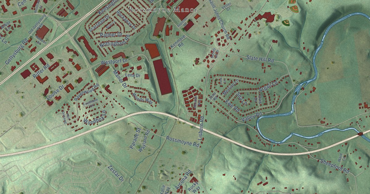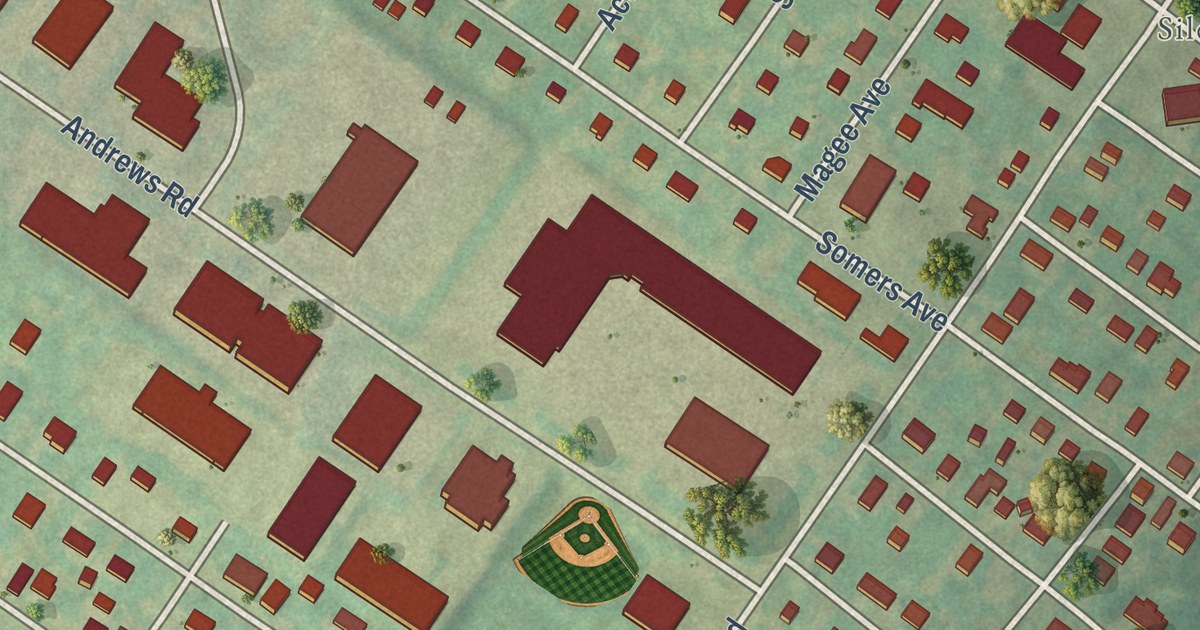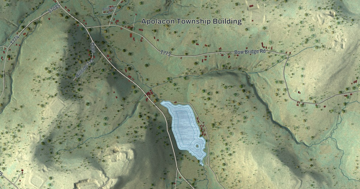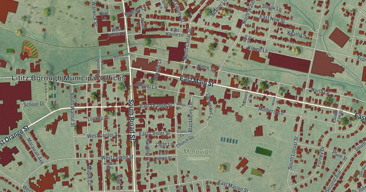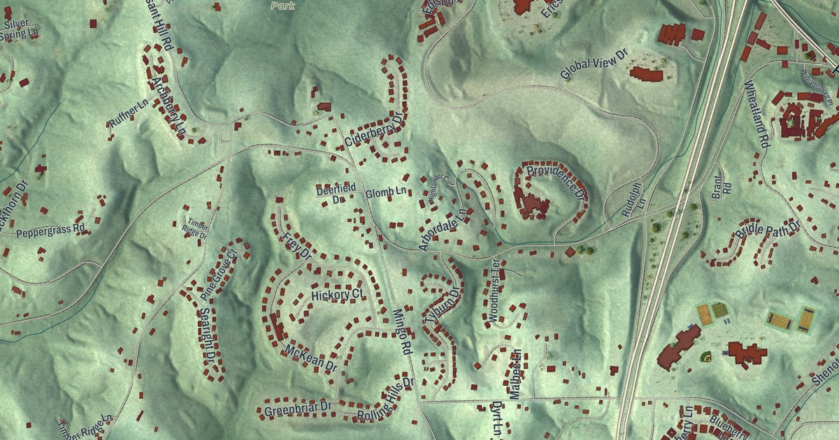
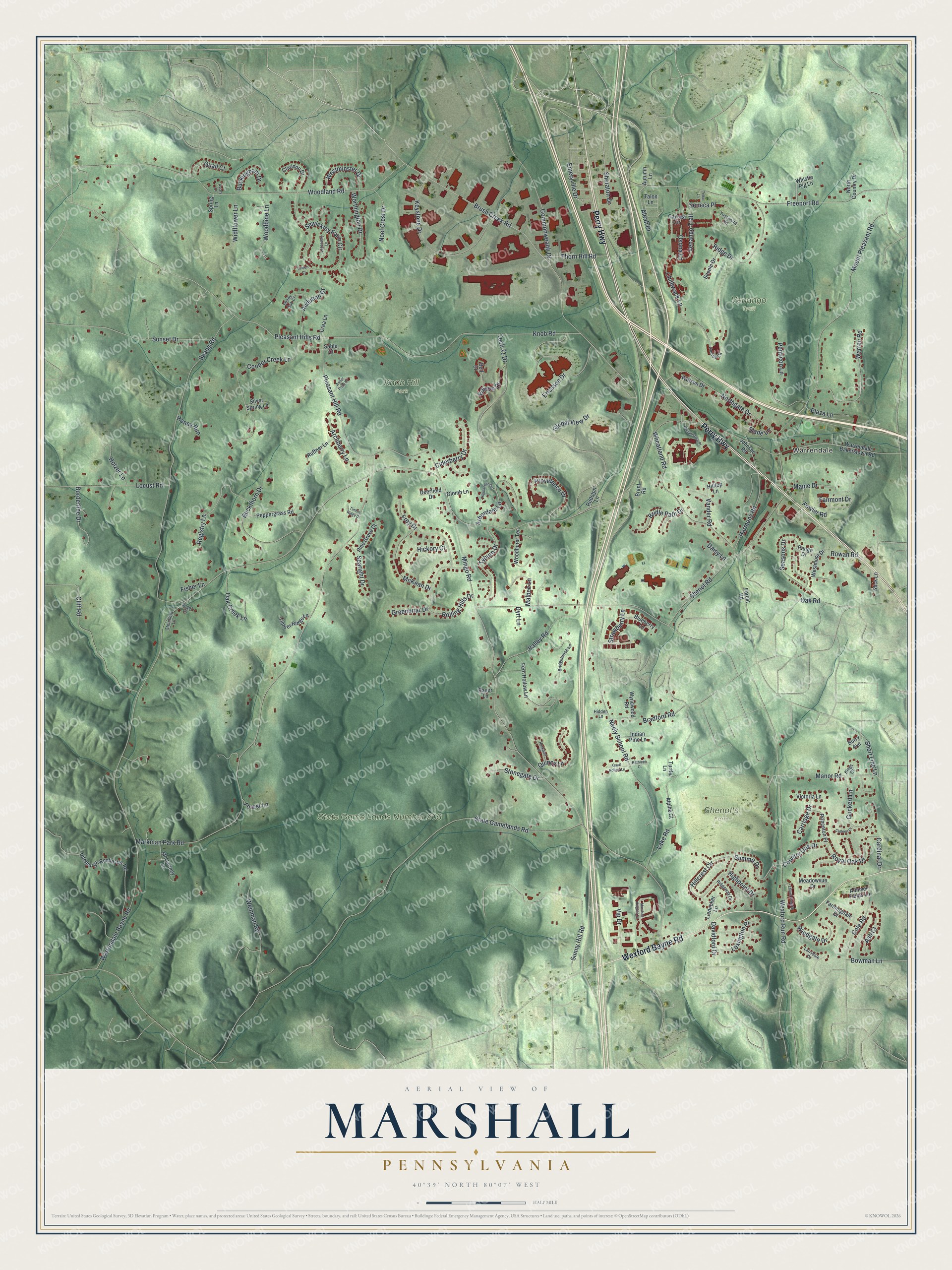
This beautifully detailed map of Marshall, Pennsylvania was created in 2026 using aerial imagery combined with modern topographical, census, street and landmark data. It’s a one-of-a-kind view of Marshall that combines accurate data with a vintage aesthetic. The map shows every building in its true location, many of the roads carry their names, and the shaded topographic relief shows the shape of the land.
Explore an aerial view of Marshall, Pennsylvania
On the map you’ll find Warrendale, Knob Hill Park, Shenot’s Farm, and State Game Lands Number 203, along with Venango Trail, Perry Highway, Wexford Bayne Road, Summit Drive, Brush Creek Road, Country Oak Drive, Pleasant Hills Road, Warrendale Bayne Road, and more. If you look closely you can even find your house accurately drawn in its correct location. Zoom in on the preview to look for yours.
Did you know this piece of Marshall, Pennsylvania history?
From the 1889 History of Allegheny County, Pennsylvania: "The northern part of Marshall is probably the largest extent of level country in the county."
Take a closer look at the Marshall map
Street and place names on the Marshall, Pennsylvania map
These names are printed on the map of Marshall, Pennsylvania.
Places: Warrendale, Knob Hill Park, Shenot's Farm, State Game Lands Number 203 and Venango Trail.
Streets and roads: Perry Highway, Wexford Bayne Road, Summit Drive, Brush Creek Road, Country Oak Drive, Pleasant Hills Road, Warrendale Bayne Road, Mingo Road, Markman Park Road, Wexford Run Road, Woodland Road, Spang Road.
More street names, A to Z
Aleah Drive, Alpine Court, Altmyer Fields Lane, Antler Point Drive, Arbordale Lane, Archberry Lane, Ash Court, Audubon Drive, Autumn Lane, Aviary Court, Bauer Lane, Bell Drive, Blueberry Lane, Borderline Drive, Bowman Lane, Bradford Road, Brant Road, Bridgebrook Lane, Bridle Path Drive, Buckingham Drive, Buckthorn Drive, Burry Avenue, Cardinal Drive, Carriage Drive, Cayuga Circle, Chilliwack Lane, Ciderberry Drive, Claridon Drive, Cliff Road, Cole Road, Colleen Court, Commonwealth Drive, Cooper Creek Lane, Crea Lane, Daisy Lane, Davidford Drive, Deerfield Drive, Dyrt Lane, Edison Drive, Emeryville Drive, Ericsson Drive, Fairmont Drive, Farmingdale Drive, Fern Hollow Lane, Fisher Lane, Forest Lane, Forest Road, Fowler Road, Freeport Road, Frey Drive, Global View Drive, Glomb Lane, Greenbriar Drive, Guckert Lane, Harmony Road, Hickory Court, Hidden Lane, Highlander Circle, Highpoint Drive, Hillcrest Circle, Hilltop Lane, Holzer Lane, Honey Run, Indian Pine Lane, Johnson Road, Kathleen Court, Keystone Drive, Kings Court, Knob Road, Lake Road, Lansdale Drive, Laurel Crest Drive, Legendary Lane, Lexington Place, Liedecker Lane, Linden Court, Locust Road, Malbec Lane, Manor Road, Maple Drive, Marshall Heights Drive, McCartney Lane, McKean Drive, Meadowvue Drive, Mount Pleasant Road, Neely School Road, Noel Crest Drive, North Country Drive, Northgate Drive, Oak Creek Lane, Oak Road, Oneida Circle, Osona Lane, Penticon Lane, Peppergrass Road, Pine Grove Court, Pittsburgh Rochester Road, Plaza Lane, Pleasant Hill Road, Princeton Place, Providence Drive, Quail Court, Quail Hollow Lane, Quincy Lane, Range Drive, Registry Lane, Ridge Drive, Ridgeway Drive, Rockport Place, Rolling Hills Drive, Rowan Road, Royal Oak Drive, Rudolph Lane, Ruffner Lane, Sable Court, Scenic Drive, Searight Drive, Seasons Drive, Seneca Place, Sewickley Farm Circle, Shady Oak Court, Shenot Road, Sheraton Drive, Short Line Lane, Silver Spring Lane, Slade Lane, Slick Lane, Spring Lane, State Gamelands Road, Steinberg Lane, Stonegate Drive, Strawberry Lane, Sunny Hill Road, Sunset Drive, Talon Lane, Tech 21 Drive, Thorn Hill Road, Timber Ridge Drive, Timber Ridge Lane, Tribal Lane, Turtle Lane, Tuscarora Road, Tyburn Drive, Valley Road, Vander Road, Victoria Lane, Vip Drive, Vogel Lane, Warrendale Bakerstown Road, Warren Road, Watson Drive, Weinman Road, Westminster Drive, Westmore Drive, Wheatland Road, Whistle Pig Lane, Widlflower Lane, Williamsburg Place, Windgate Drive, Woodbine Lane, Woodhurst Terrace, Worthington Drive, Wyndwood Road.
See the Marshall, Pennsylvania map on a wall
The Marshall map as an 18 x 24 inch print in a black frame.

This beautifully detailed map of Marshall makes an attractive addition to your office, library, or den, and it can even be used to teach children the geography and history of the area. It also makes a great gift for anyone who grew up in Marshall or moved away. When you’re done exploring, click here to get your copy of the Marshall map.