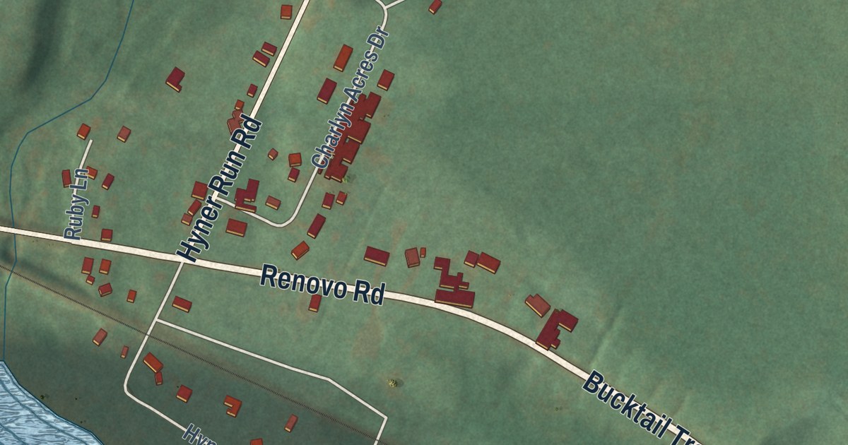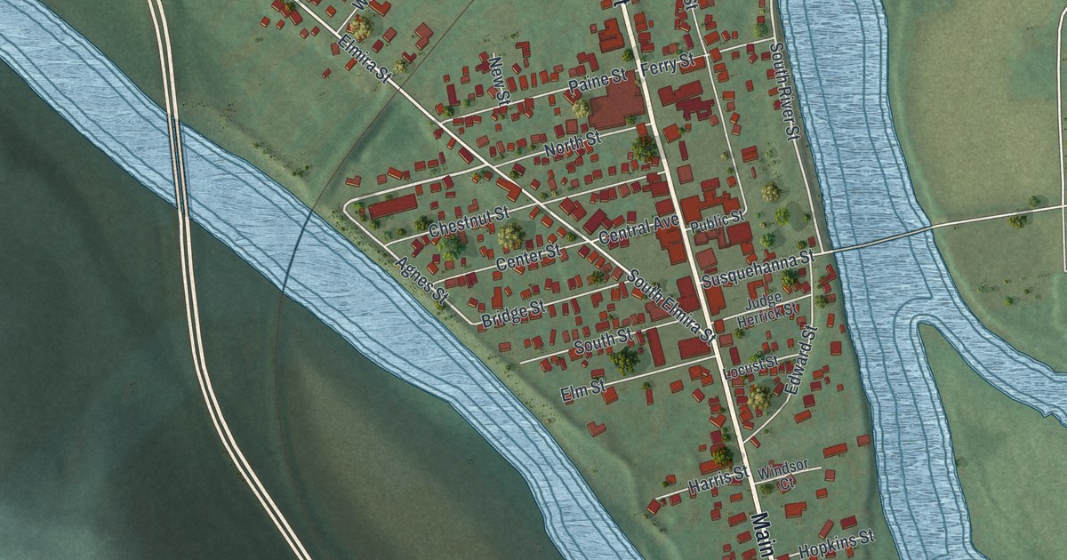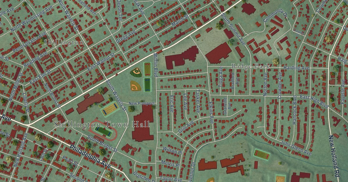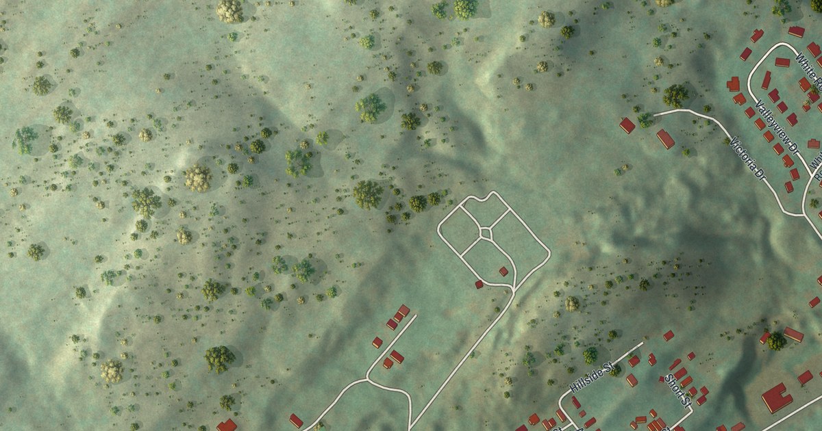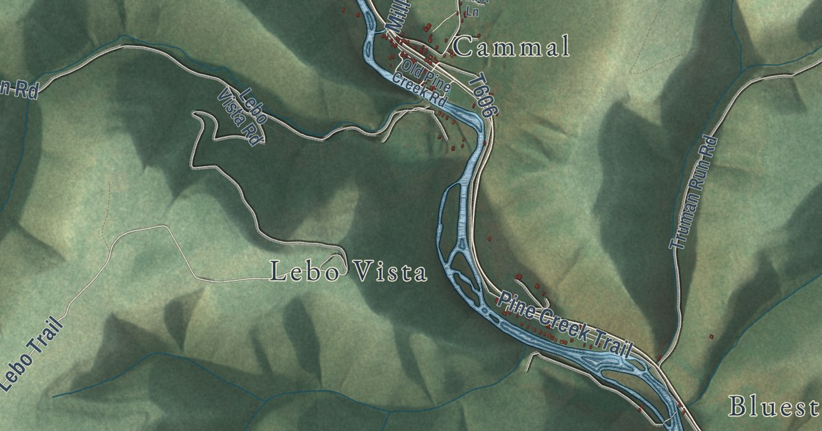
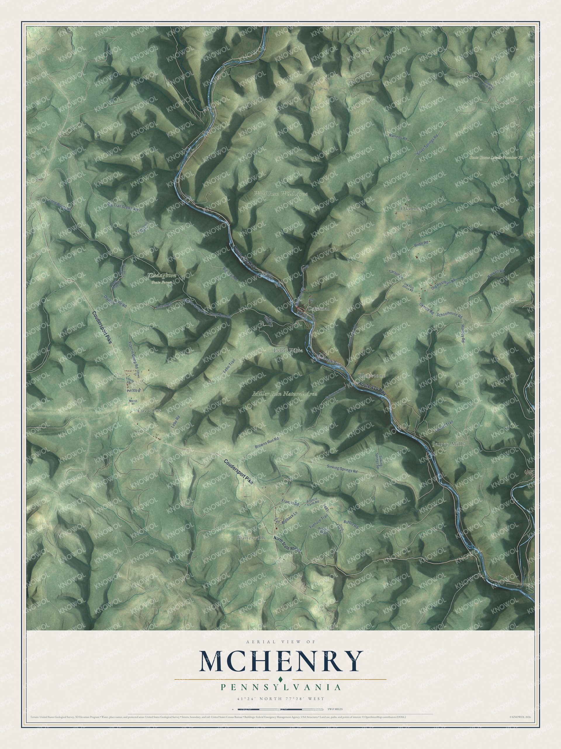
This beautifully detailed map of McHenry, Pennsylvania was created in 2026 using aerial imagery combined with modern topographical, census, street and landmark data. It’s a one-of-a-kind view of McHenry that combines accurate data with a vintage aesthetic. The map shows every building in its true location, many of the roads carry their names, and the shaded topographic relief shows the shape of the land.
Explore an aerial view of McHenry, Pennsylvania
On the map you’ll find Haneyville, Miller Run Natural Area, Tiadaghton State Forest, Wolf Run Wild Area, Bluestone, Cammal, Jersey Mills, Lebo Vista, Lucullus, and Okome, along with Route 414 Highway, Coudersport Pike, and more. If you look closely you can even find your house accurately drawn in its correct location. Zoom in on the preview to look for yours.
Did you know this piece of McHenry, Pennsylvania history?
From the History of Lycoming County: "McHenry Township is one of the later townships to be erected and was taken from a part of Cummings and Porter. It was organized August 21, 1861, and was named for Alexander McHenry, of Jersey Shore, a well known surveyor of his day."
Take a closer look at the McHenry map
Street and place names on the McHenry, Pennsylvania map
These names are printed on the map of McHenry, Pennsylvania.
Places: Haneyville, Miller Run Natural Area, State Game Lands Number 75, Tiadaghton State Forest, Wolf Run Wild Area, Lucullus, Okome, Cammal, Jersey Mills, Bluestone and Lebo Vista.
Streets and roads: Coudersport Pike, Route 414 Highway, Okome Road, Dividing Line Road, Lebo Trail, Francis Road, Trout Run Road, Forest Road, Sinking Springs Road, Browns Run Road, Big Trail Scenic Road, Silver Springs Road.
More street names, A to Z
Barrens Road, Bear Trap Trail, Big Trail Road, Brion Road, Browns Fork Road, Button Road, Deer Trap Road, Francis Camp Road, Francis Farm Road, Francis Trail, Furnace Trail, Hackett Road, Huntley Road, Janet Lane, Larson Lane, Lebo Road, Lebo Vista Road, Leisure Lane, Liberty Lane, Little Boyer Road, Merrill Lane, Mill Run Road, Narrow Gauge Road, North State Route 44, Old Pine Creek Road, Old Postman Road, Old Post Office Road, Outback Lane, Pine Creek Trail, Prdr, Pvt 331 Road, Ross Siding Drive, Schoolhouse Road, Sinking Springs Spr, Solomon Run, Stone Quarry Hollow, Torbert Trail, Truman Run Road, York Road, Zinck Fork Road.
See the McHenry, Pennsylvania map on a wall
The McHenry map as an 18 x 24 inch print in a black frame.

This beautifully detailed map of McHenry makes an attractive addition to your office, library, or den, and it can even be used to teach children the geography and history of the area. It also makes a great gift for anyone who grew up in McHenry or moved away. When you’re done exploring, click here to get your copy of the McHenry map.