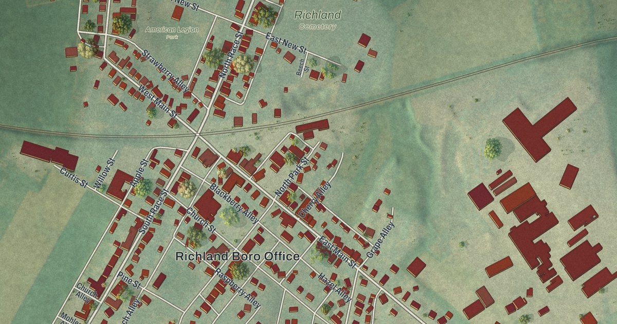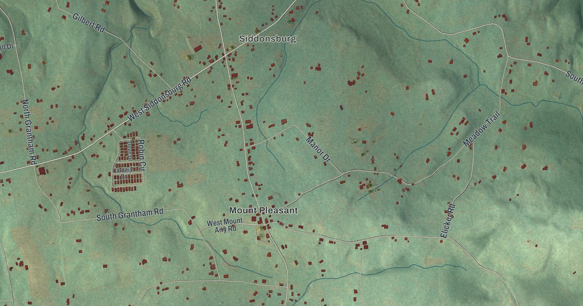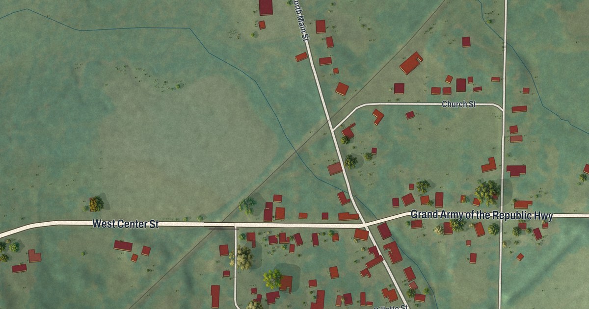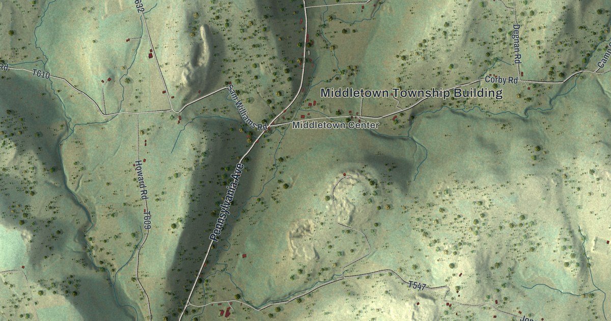
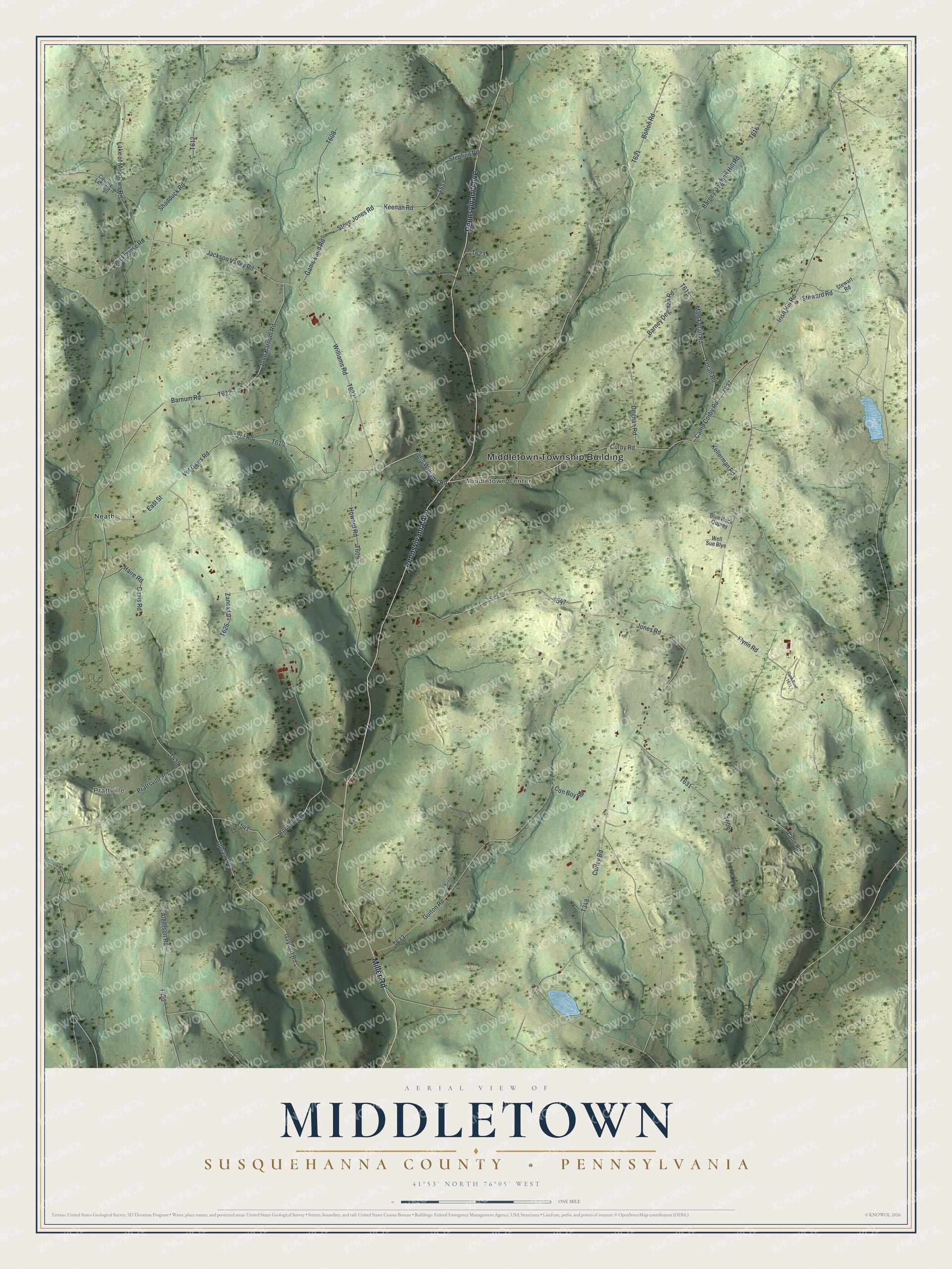
This beautifully detailed map of Middletown, Susquehanna County, Pennsylvania was created in 2026 using aerial imagery combined with modern topographical, census, street and landmark data. It’s a one-of-a-kind view of Middletown that combines accurate data with a vintage aesthetic. The map shows every building in its true location, many of the roads carry their names, and the shaded topographic relief shows the shape of the land.
Explore an aerial view of Middletown, Susquehanna County, Pennsylvania
On the map you’ll find Middletown Township Building, Prattville, Middletown Center, and Neath, along with Pennsylvania Avenue, Miller Road, Williams Road, Vet Davis Road, Vet Road, East Street, and more. If you look closely you can even find your house accurately drawn in its correct location. Zoom in on the preview to look for yours.
Did you know this piece of Middletown, Susquehanna County, Pennsylvania history?
From the 1873 History of Susquehanna County, Pennsylvania. from a period preceding its settlement to recent times, including the annals and geography of each township… Also a sketch of woman’s work in the county for the United States sanitary commission, and a list of the soldiers of the national army furnished by many of the townships: "Andrew Canfield was a prominent Methodist, and his house was ever open for the itinerant preacher. In 1814, Middletown was in the Wyalusing circuit, then about twenty by forty miles in extent."
Take a closer look at the Middletown, Susquehanna County map
Street and place names on the Middletown, Susquehanna County, Pennsylvania map
These names are printed on the map of Middletown, Susquehanna County, Pennsylvania.
Places: Middletown Township Building, Prattville, Middletown Center and Neath.
Streets and roads: Pennsylvania Avenue, Miller Road, Williams Road, Vet Davis Road, Vet Road, East Street, Jackson Valley Road, Barnum Road, Gaylord Road, Corby Road, Upham Road, Camp Corby Road.
More street names, A to Z
Alderson Road, Barney Degman Hill Road, Barney Degman Road, Blue Rock Quprey, Bolton Road, Bomont Road, Brickhouse Road, Con Boy Road, County Line Road, Curley Road, Davis Road, Degnan Road, Flynn Road, Foran Road, Game Land Road, Guiton Road, Haire Road, Howard Road, Irish Hill Road, John Barnum Road, Jones Road, Keenan Road, Kellerman Road, Lake of Meadows Road, Lane Road, Mart Foran Road, Prattsville Road, Sam Williams Road, Shadduck Road, Stephen Road, Steve Jones Road, Steward Road, Stewart Road, Well Sue Blye, Zanes Lane.
See the Middletown, Susquehanna County, Pennsylvania map on a wall
The Middletown, Susquehanna County map as an 18 x 24 inch print in a black frame.

This beautifully detailed map of Middletown, Susquehanna County makes an attractive addition to your office, library, or den, and it can even be used to teach children the geography and history of the area. It also makes a great gift for anyone with Middletown roots. When you’re done exploring, click here to get your copy of the Middletown, Susquehanna County map.