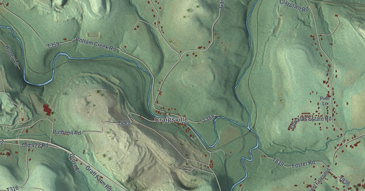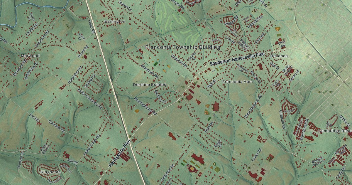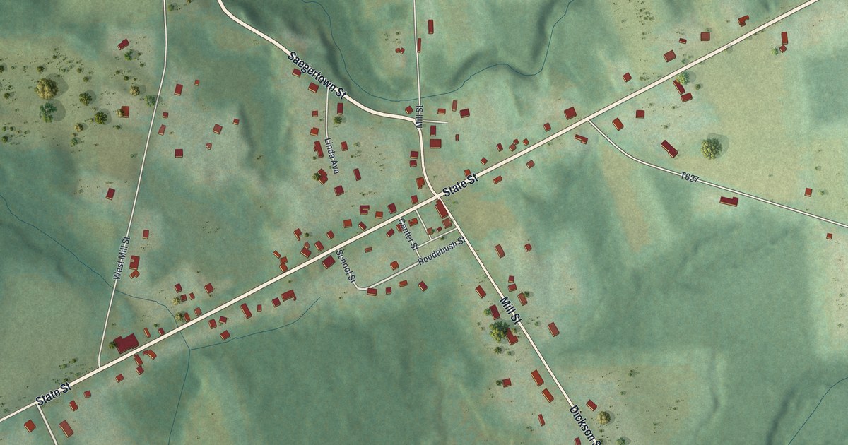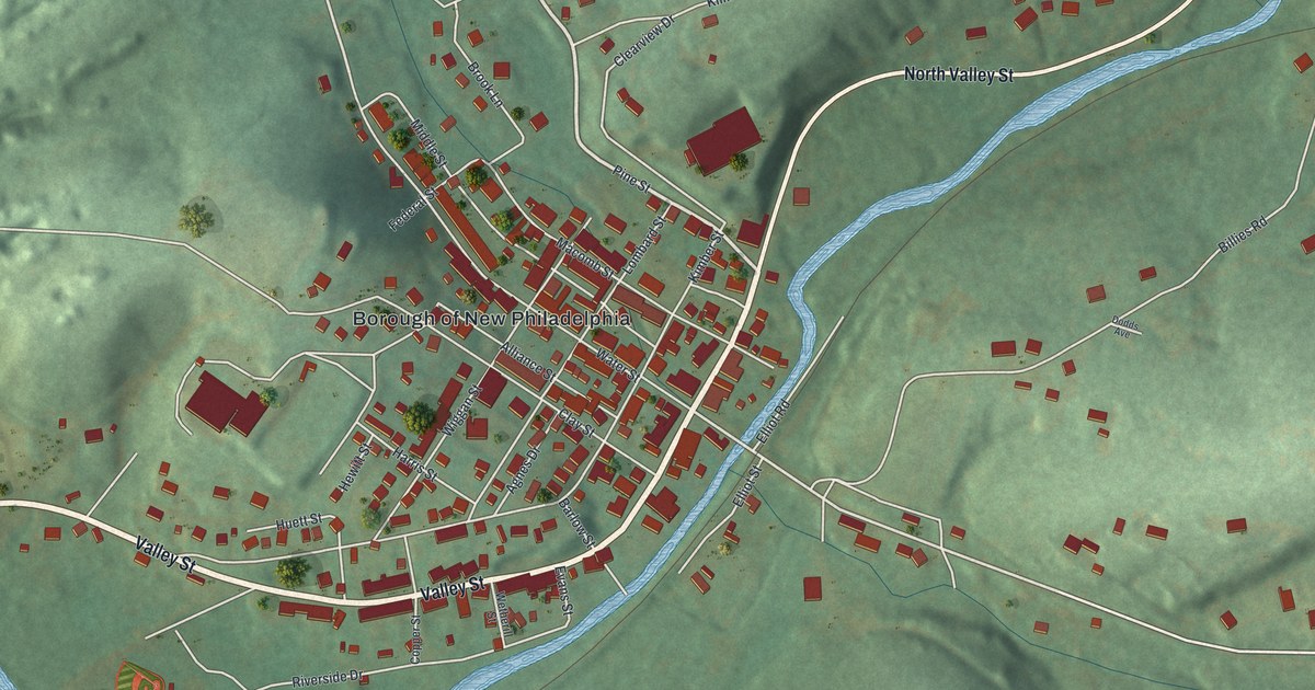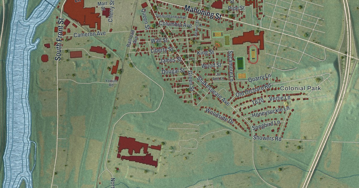
This beautifully detailed map of Milton, Pennsylvania was created in 2026 using aerial imagery combined with modern topographical, census, street and landmark data. It's a modern aerial view of Milton in Northumberland County, Pennsylvania, that combines modern data with a vintage aesthetic. The roads feature printed names, and if you look closely you can find your exact house accurately shown in its correct location.
Explore an aerial view of Milton, Pennsylvania
On this map you'll find North Hills, Colonial Park, Harmony Cemetery, Milton State Park, Milton Cemetery, North Front Street, Broadway Street, Lincoln Street, Arch Street, Garfield Avenue, Mahoning Street, South Front Street, and more. Each red shape is a building, so zoom in on the preview and look for yours.
Here is a piece of Milton history, in the words of the record. The Pennsylvania Historical and Museum Commission puts it this way: "Physician and Presbyterian missionary to Japan in the late 19th century, he devised the widely used Hepburn romanization method to transcribe Japanese into the Latin alphabet. Hepburn published the first English-Japanese dictionary, translated the Bible into Japanese, introduced Western medicine to Japan, and founded Meiji Gakuin University. All were influential in opening Japan to the Western world. Dr. Hepburn was born here."
Milton is a borough in Northumberland County. The Census Bureau counted 6,609 people here in 2020.
Take a closer look at the Milton map
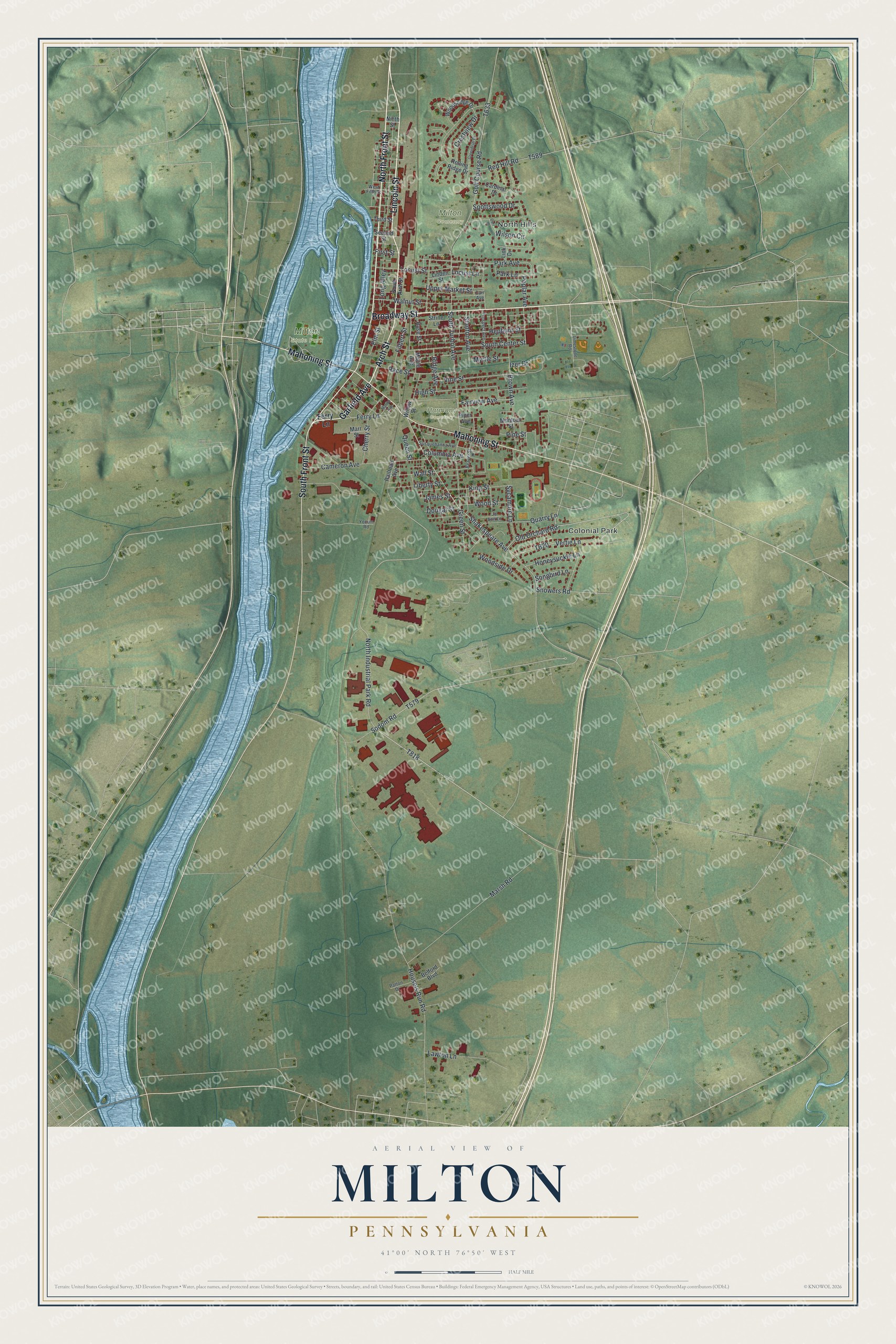
Created by KNOWOL in 2026. The buildings are small red shapes, the roads carry their printed names, and shaded relief shows the shape of the land. The title panel reads "AERIAL VIEW OF MILTON PENNSYLVANIA" with 4, 1, °, 0, 0, ', , N, O, R, T, H, , 7, 6, °, 5, 0, ', , W, E, S, T.
It suits a den, a classroom or a front hall, and it makes a gift for anyone with Milton roots. Open the preview and find the block you know. See sizes and frames for the Milton map.