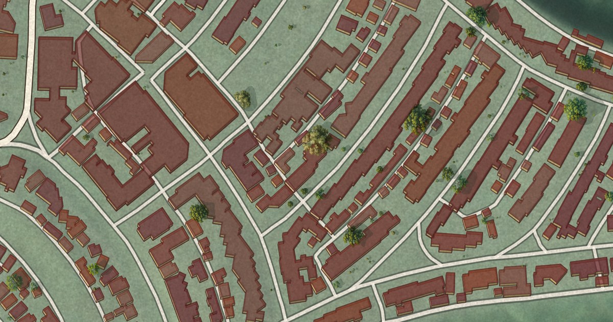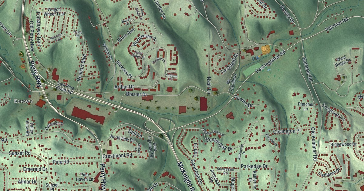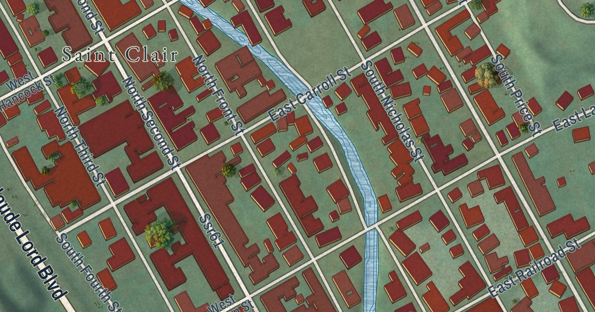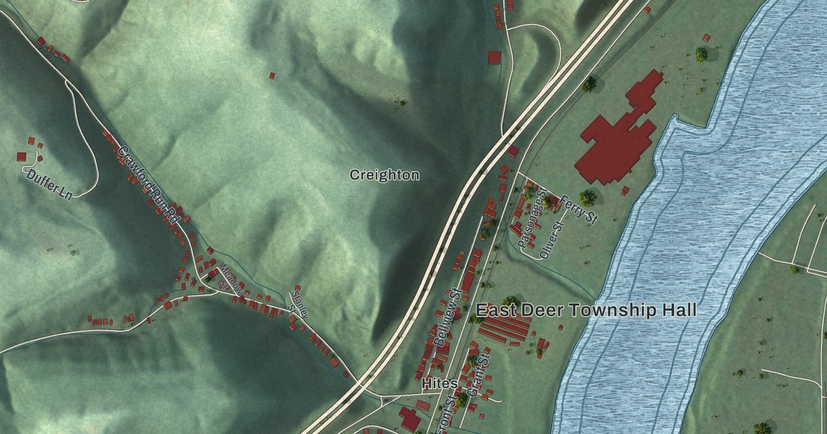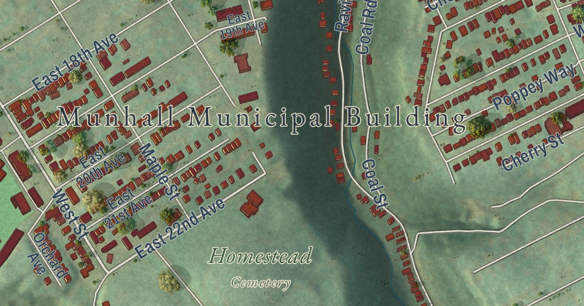
This beautifully detailed map of Munhall, Pennsylvania was created in 2026 using aerial imagery combined with modern topographical, census, street and landmark data. It’s a one-of-a-kind view of Munhall that combines accurate data with a vintage aesthetic. The map shows every building in its true location, many of the roads carry their names, and the shaded topographic relief shows the shape of the land.
Explore an aerial view of Munhall, Pennsylvania
On the map you’ll find Munhall Municipal Building, Homestead Cemetery, and Woodhill Park, along with East Eighth Avenue, River Road, West Street, East Schwab Avenue, East Larkspur Street, East Marigold Street, West Run Road, McWhinney Street, East Eleventh Avenue, and more. If you look closely you can even find your house accurately drawn in its correct location. Zoom in on the preview to look for yours.
Did you know this piece of Munhall, Pennsylvania history?
The borough is named for John Munhall, who first owned the land where the town now stands. The borough was carved from part of Mifflin Township on June 24, 1901. A large part of Carnegie Steel’s famous Homestead Works stood inside Munhall, beside the Monongahela River.
Take a closer look at the Munhall map
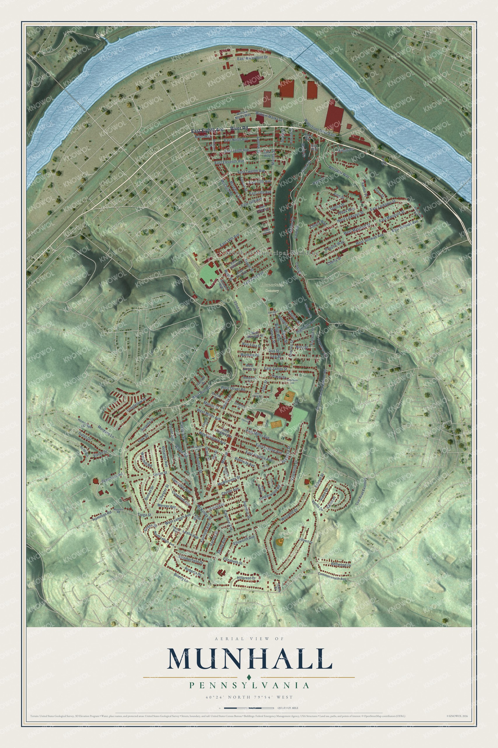
Street and place names on the Munhall, Pennsylvania map
These names are printed on the map of Munhall, Pennsylvania.
Places: Munhall Municipal Building, Homestead Cemetery and Woodhill Park.
Streets and roads: East Eighth Avenue, River Road, East Larkspur Street, West Street, East Marigold Street, East Schwab Avenue, West Run Road, McWhinney Street, East 22nd Avenue, Brierly Lane, Creek Street, William Marks Drive.
More street names, A to Z
22nd Avenue, Ada Street, Alberta Street, Andrew Street, Bellwood Drive, Boon Way, Botsford Road, Calvert Drive, Cambria Street, Carnold Drive, Caroline Avenue, Center Avenue, Charles Street, Cherry Street, Cherry Way, Chester Street, Chestnut Lane, Clinton Street, Coal Road, Coal Road Extended, Coal Street, Commonwealth Avenue, Crawford Avenue, Dahlia Street, Davis Avenue, Dewey Street, Dickson Street, Duquesne Avenue, East 13th Avenue, East 14th Avenue, East 16th Avenue, East 17th Avenue, East 18th Avenue, East 19th Avenue, East 20th Avenue, East 21st Avenue, East Eleventh Avenue, East Eugene Avenue, East James Street, East Miller Avenue, East Ninth Avenue, East Oliver Road, East Tenth Avenue, East Twelfth Avenue, East Virginia Avenue, East Waterfront Drive, Eddy Way, Edward Street, Elizabeth Street, Ellsworth Avenue, Emerson Avenue, Estes Way, Fairfield Avenue, Farragut Street, Forest Avenue, Franklin Street, Fulton Street, Gates Drive, Grace Street, Grant Street, Green Street, Greentree Road, Guy Street, Hamilton Road, Hardin Place, Harmar Way, Harrison Street, Harvey Street, Hays Lane, Hazel Street, Highland Avenue, Hillcrest Drive, Hill Street, Hilltop Street, Homeridge Drive, Homestead Duquesne Road, John Street, Karen Place, Kennedy Avenue, Lawrence Avenue, Lea Street, Leslie Avenue, Longfellow Drive, Louise Street, Main Street, Mapledale Drive, Maple Street, Margaret Street, Marham Road, Marion Street, Martha Street, Mary Street, McClure Street, McKinley Street, Mercer Avenue, Mooney Road, Morgans Lane, Munn Street, North Lehigh Avenue, Orchard Avenue, Orchid Street, Orris Street, Park Way, Perry Street, Phlox Way, Poppey Way, Ravine Street, Rebecca Street, Red Oak Lane, Ridge Road, Ridge Way, Riverview Avenue, Roberta Drive, Rosetta Street, Saint Therese Court, School Street, Shady Avenue, Steiner Street, Summerfield Drive, Sunset Drive, Superior Street, Sycamore Drive, Timberwood Road, Tioga Street, Towne Drive, Trautman Street, Union Street, Valewood Drive, Venango Avenue, Verna Drive, Video Drive, Vine Street, Vivian Drive, Vondera Street, Watchill Road, Waterfront Drive East, Wayne Road, West Edna Street, West Eugene Avenue, West James Street, West Larkspur Street, West Lehigh Avenue, West Marietta Street, West Marigold Street, West Miller Avenue, West Oliver Road, West Schwab Avenue, West Virginia Avenue, Whitaker Way, William Marks Way, Woodhill Drive, Woodlawn Avenue, Woodlawn Drive, York Street.
See the Munhall, Pennsylvania map on a wall
The Munhall map as an 18 x 24 inch print in a black frame.

This beautifully detailed map of Munhall makes an attractive addition to your office, library, or den, and it can even be used to teach children the geography and history of the area. It also makes a great gift for someone who left Munhall and still calls it home. When you’re done exploring, click here to get your copy of the Munhall map.