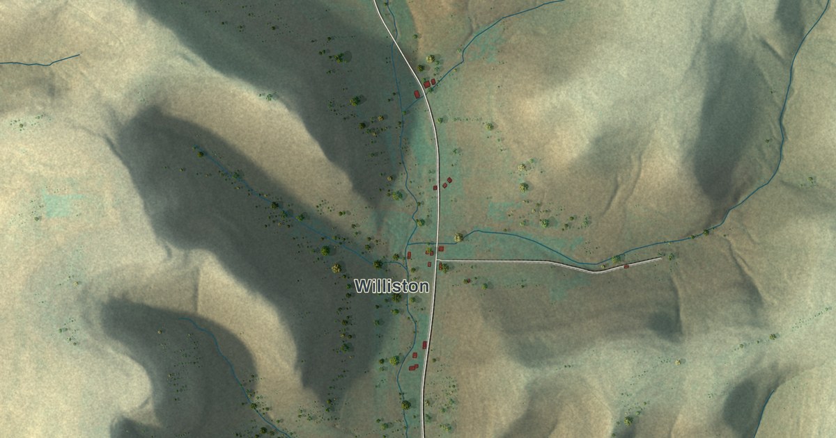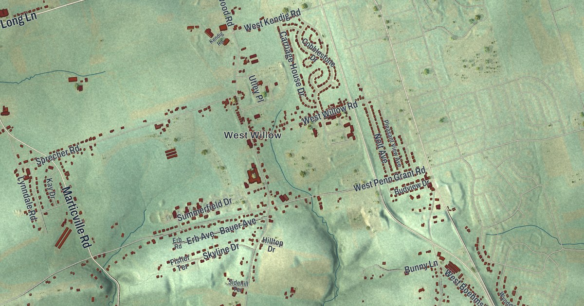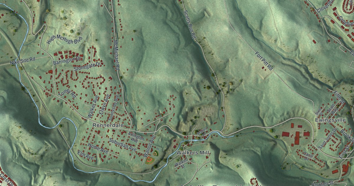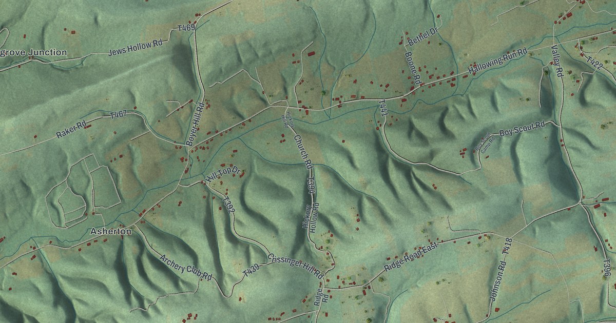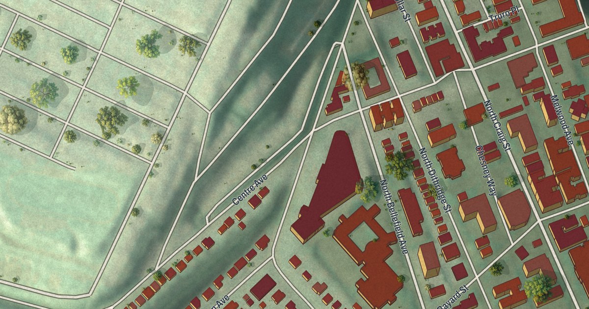
If you went to Pitt, rented a place on North Craig Street or crossed Schenley Plaza on the way to class, this map is for you. It's a modern aerial view of North Oakland in Allegheny County, Pennsylvania, made from modern data and given a vintage look. A long band of red buildings runs from Baum Boulevard down toward Schenley Plaza. Green, wooded hills rise on the left side of the sheet, and the biggest buildings crowd together near the bottom.
North Craig Street, Bayard Street and Your Block
On this map you'll find Fifth Avenue, Forbes Avenue, Bigelow Boulevard, Centre Avenue, Baum Boulevard, North Craig Street, North Bellefield Avenue, Bayard Street, North Dithridge Street, Melwood Avenue, University Drive, Allequippa Street, Ruskin Street, Thackeray Street, Schenley Plaza, and more. Each red shape is a building, so zoom in on the preview and look for yours.
How Pitt Started as the Pittsburgh Academy in 1787
The University of Pittsburgh has deep roots. A state historical marker says it started in 1787 as the Pittsburgh Academy. It was the first school of higher learning west of the Alleghenies and north of the Ohio River. In 1819 it became the Western University of Pennsylvania. It took the name University of Pittsburgh in 1908. The marker stands at the southeast corner of Fifth Avenue and Bigelow Boulevard, near Schenley Plaza. Soldiers and Sailors Memorial Hall is at Fifth Avenue and Bigelow Boulevard too. It was added to the National Register in 1974. Another marker there says the Veterans of Foreign Wars got started in 1914 at the old Schenley Hotel close by.
Jane Holmes and the School on Bayard Street
At Bayard Street and North Bellefield Avenue, another state marker honors Jane Holmes. She lived from 1805 to 1885. She started and paid for many groups that helped people in need. One of them was the Western Pennsylvania School for Blind Children, and her marker stands there. The marker says her giving has served people in need, no matter their race, class or gender.
Keep Schenley Plaza and North Craig Street Close
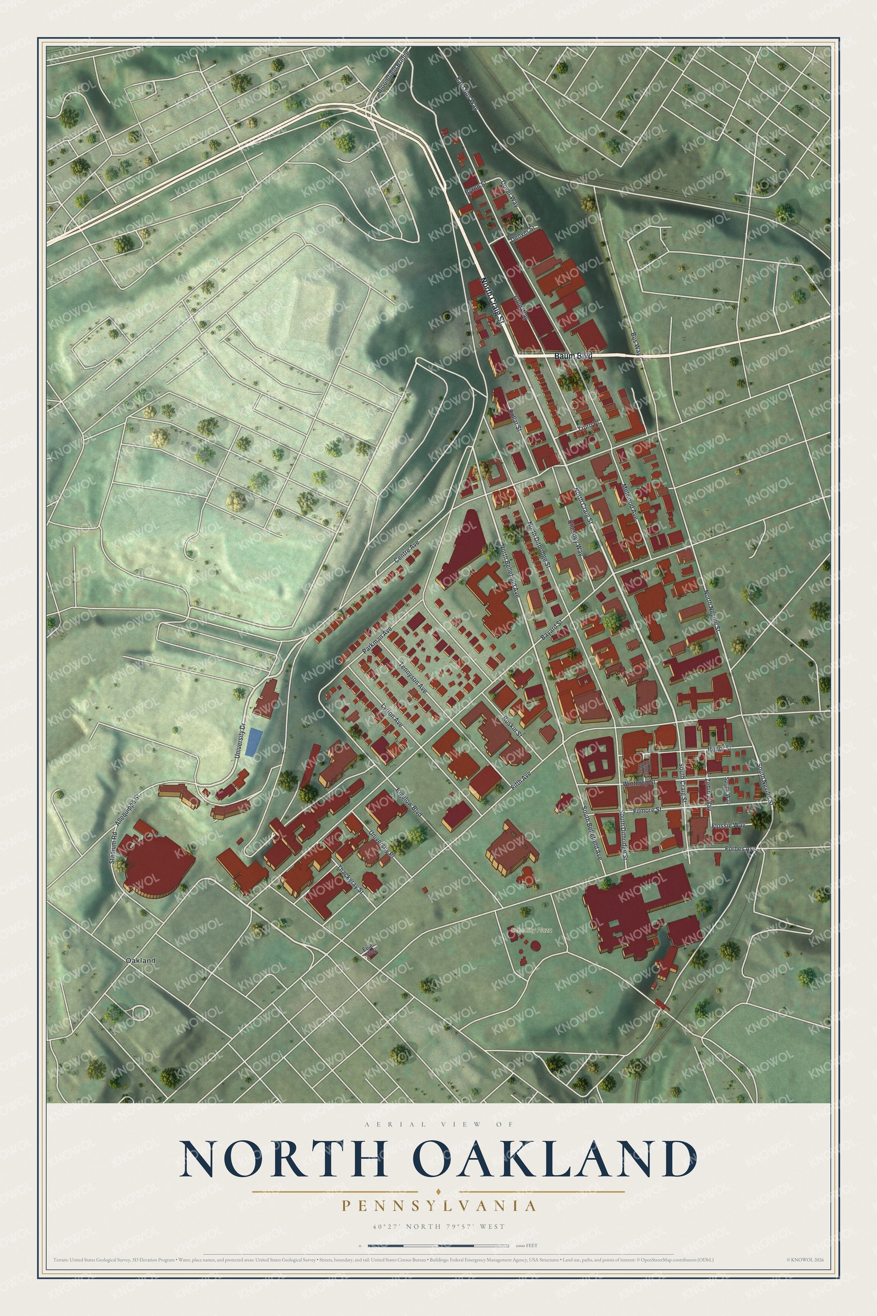
Created by KNOWOL in 2026, this print shows North Oakland from above, with red buildings, pale streets and shaded green hills. The title panel reads Aerial View of North Oakland, Pennsylvania, with the coordinates 40°27' North 79°57' West.
It fits a dorm room, a first apartment, a home office or a hallway. It's a good gift for a Pitt graduate, a Schenley High School alum or anyone who once lived on North Dithridge Street. Open the preview and find the blocks you know. See sizes and frames for the North Oakland map.