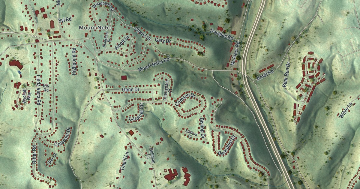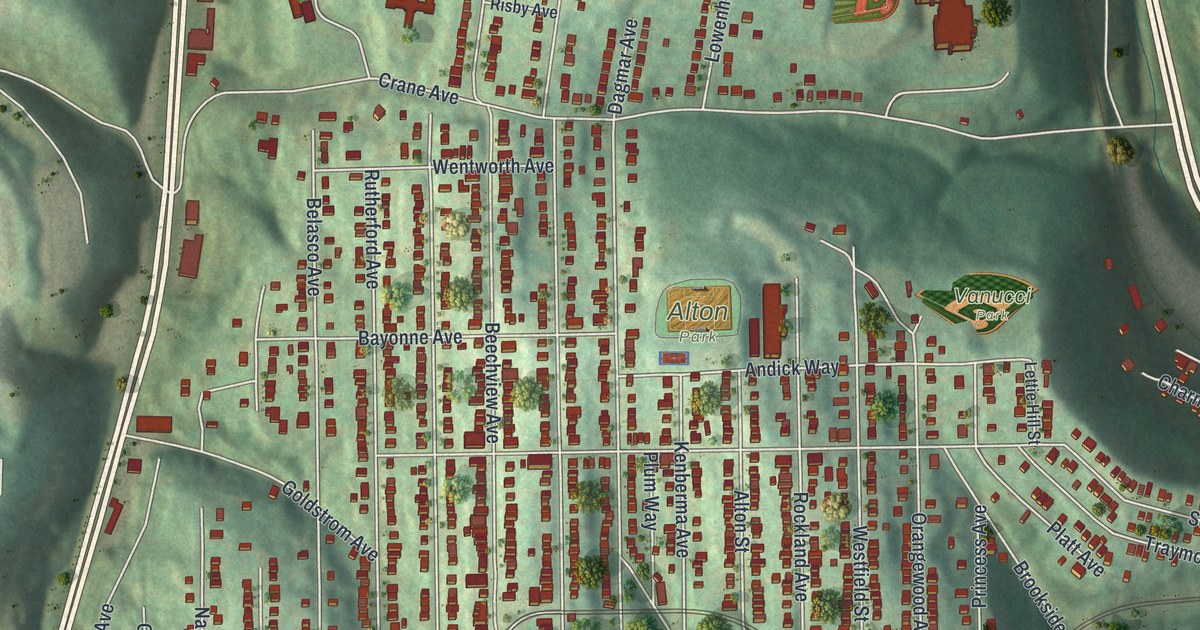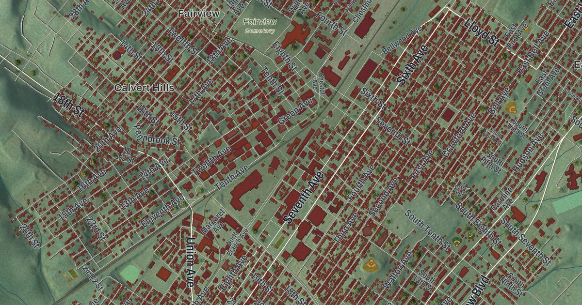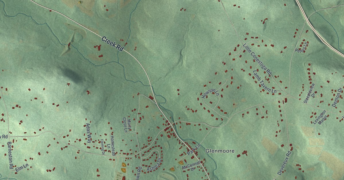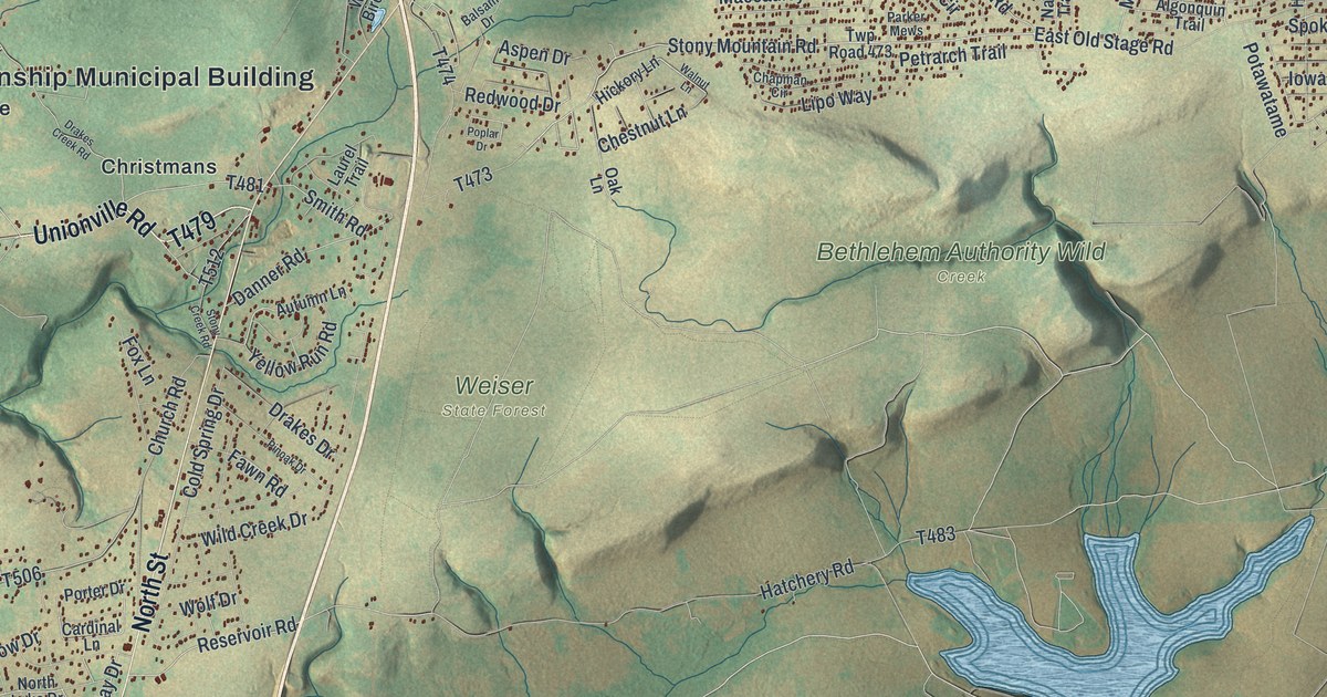
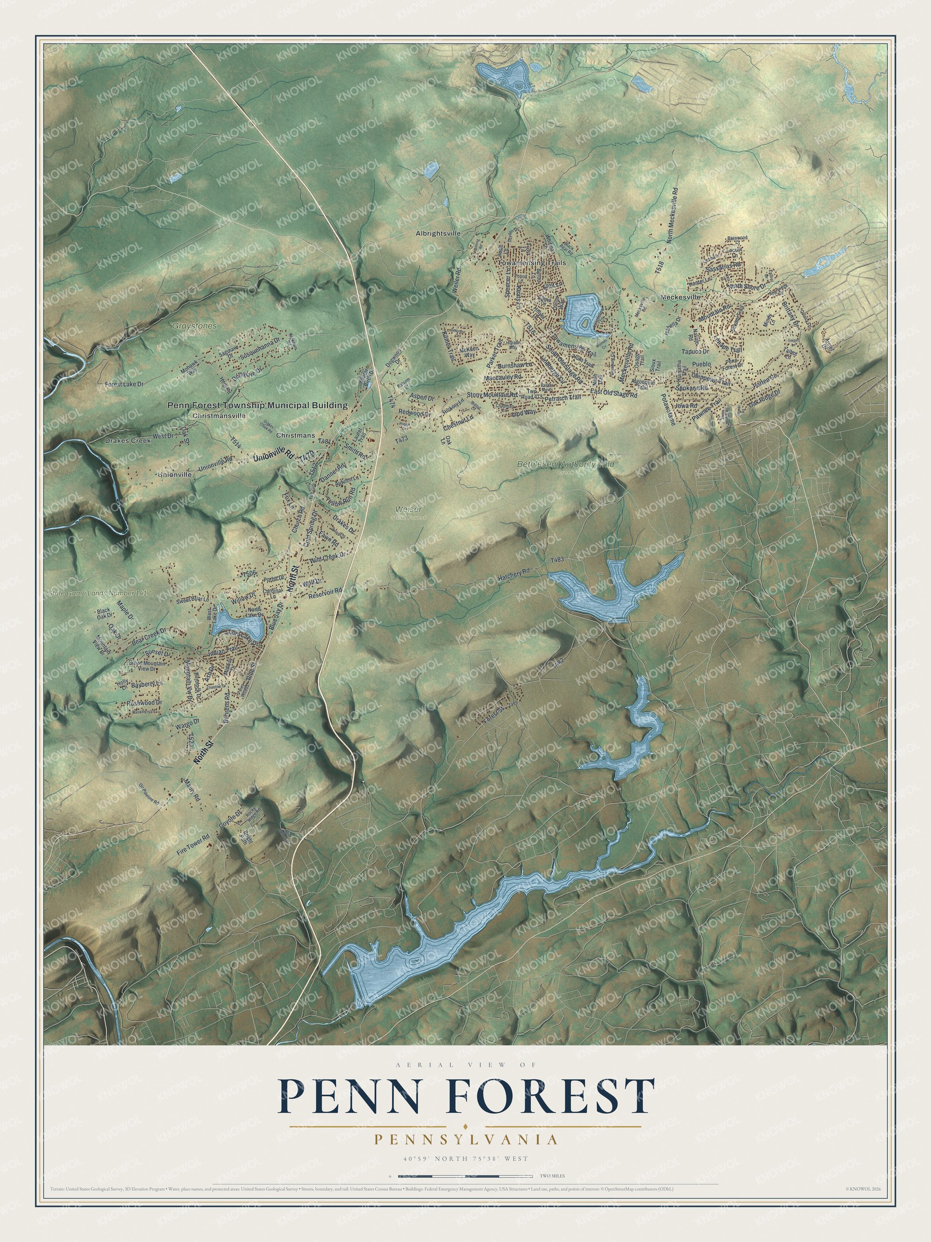
This beautifully detailed map of Penn Forest, Pennsylvania was created in 2026 using aerial imagery combined with modern topographical, census, street and landmark data. It's a modern aerial view of Penn Forest in Carbon County, Pennsylvania, that combines modern data with a vintage aesthetic. The roads feature printed names, and if you look closely you can find your exact house accurately shown in its correct location.
Explore an aerial view of Penn Forest, Pennsylvania
On this map you'll find Penn Forest Township Municipal Building, Bethlehem Authority Wild Creek, Graystones Preserve, State Game Lands Number 141, Weiser State Forest, Albrightsville, Christmans, Christmansville, Drakes Creek, Meckesville, Towamensing Trails, Unionville, and more. Each red shape is a building, so zoom in on the preview and look for yours.
Here is a piece of Penn Forest history, in the words of the record. The Internet Archive puts it this way: "One of the principal points of interest in the township is the hatchery of the Penn Forest Brook Trout Company, which is situated at the junction of Hell and Wild creeks."
Penn Forest is a place in Carbon County. The Census Bureau counted 9,926 people here in 2020.
Take a closer look at the Penn Forest map
Names on this map
These names are printed on this map.
Places: Penn Forest Township Municipal Building, Bethlehem Authority Wild Creek, Graystones Preserve, State Game Lands Number 141, Weiser State Forest, Albrightsville, Christmans, Christmansville, Drakes Creek, Meckesville, Towamensing Trails and Unionville.
Streets and roads: North Street, Unionville Road, Stony Mountain Road, South Lake Drive, Spokane Road, Reservoir Road, Pine Street, Ash Drive, Sunset Drive, Hatchery Road, Tapuco Drive, Coyote Drive.
More street names, A to Z
Algonkin Road, Algonquin Trail, Arciel Drive, Aspen Drive, Autumn Lane, Balsam Drive, Basswood Court, Bayberry Lane, Bear Creek Drive, Bee Hollow Drive, Behrens Road, Bishop Circle, Black Bear Road, Blackberry Lane, Black Oak Drive, Blue Jay Drive, Bright Path, Brittany Drive, Broad Mountain View Drive, Burnshaw Lane, Byron Lane, Cardinal Lane, Chapman Circle, Chestnut Drive, Chestnut Lane, Chippewa Trail, Church Road, Cold Spring Drive, Danner Road, Delaware Drive, Dillon Way, Dogwood Drive, Drakes Creek Road, Drakes Drive, Dryden Drive, East Old Stage Road, Eliot Lane, Emerson Drive, Fawn Road, Fire Tower Road, Forest Lake Drive, Forest Street, Fox Lane, Frost Lane, Geiger Lane, Ginsburg Circle, Gower Road, Hemlock Drive, Henning Road, Hiawatha Trail, Hickory Lane, Hillyer Lane, Holly Lane, Holmes Circle, Hopi Road, Horace Way, Hunter Lane, Hunt Trail, Indian Trail, Iowa Road, Isabella Drive, Keats Lane, Kilmer Trail, Larch Lane, Laurel Drive, Laurel Trail, Lenape Trail, Lindbergh Circle, Lipo Way, Locust Lane, Longfellow Circle, Maccauley Road, Maple Drive, Maury Road, McKuen Way, Meckesville Road, Mecksville Road, Midway Drive, Mindy Lane, Mohawk Way, Mountain Road, Mountain View Drive, Mountain Vw Drive, Nash Trail, Navajo Road, North Lake Drive, North Meckesville Road, North Shore Drive, Oak Drive, Oak Lane, Oak Ridge Drive, Oak Street, Oil Pipeline Road, Osage Trail, Parker Mews, Parker Trail, Patten Circle, Pawnee Trail, Penn Forest Drive, Petrarch Trail, Piney Woods, Pinoak Drive, Pope Lane, Poplar Drive, Porter Drive, Potawatame, Pound Lane, Pueblo, Quincy Lane, Redwood Drive, Rocky Ridge Road, Rosewood Drive, Saginaw Drive, Sassafras Road, Sekani Trail, Shortridge Road, Sioux Trail, Smith Road, South Old Stage Road, Spencer Lane, Stone Ridge Road, Stony Creek Road, Susquehanna Drive, Sweet Briar Lane, Talbot Lane, Towamensing Trail, Twp Road 473, Vista Drive, Walnut Lane, Wargo Drive, Water Birch Drive, Weiler Road, West Drive, West Lake Drive, Whitman Lane, Wild Creek Drive, Willow Drive, Wolf Drive, Yellow Run Road.
Created by KNOWOL in 2026. The buildings are small red shapes, the roads carry their printed names, and shaded relief shows the shape of the land. The title panel reads "AERIAL VIEW OF PENN FOREST PENNSYLVANIA" with 4, 0, °, 5, 9, ', , N, O, R, T, H, , 7, 5, °, 3, 8, ', , W, E, S, T.
It suits a den, a classroom or a front hall, and it makes a gift for anyone with Penn Forest roots. Open the preview and find the block you know. See sizes and frames for the Penn Forest map.