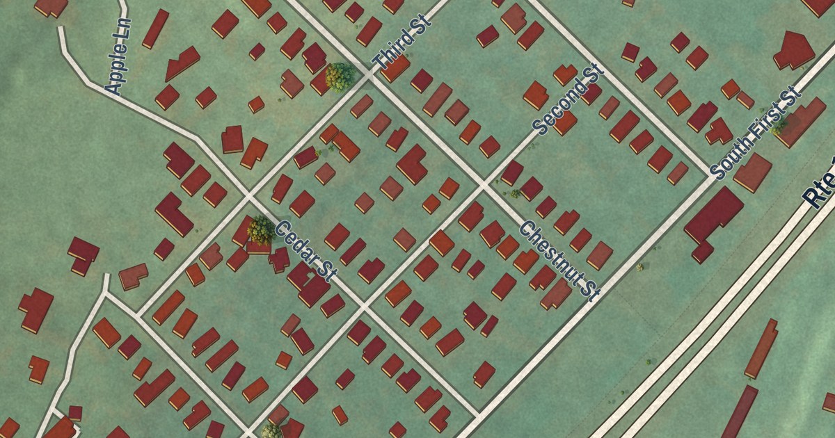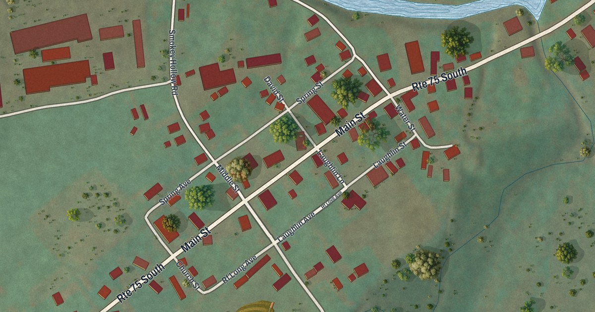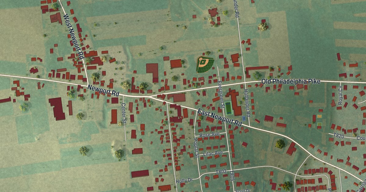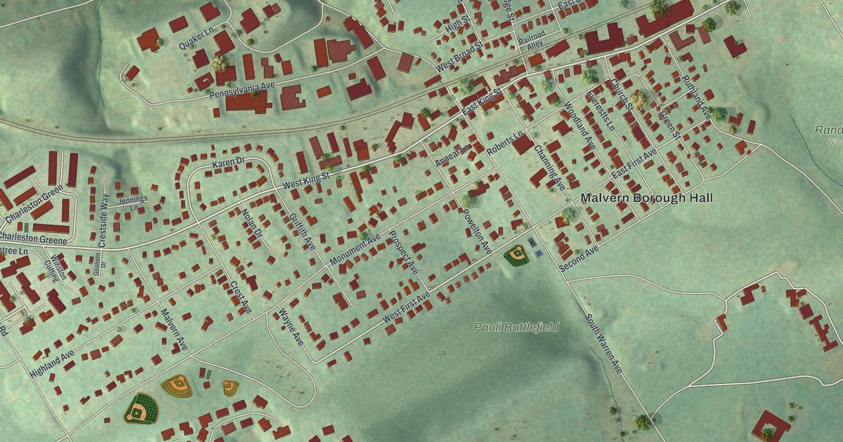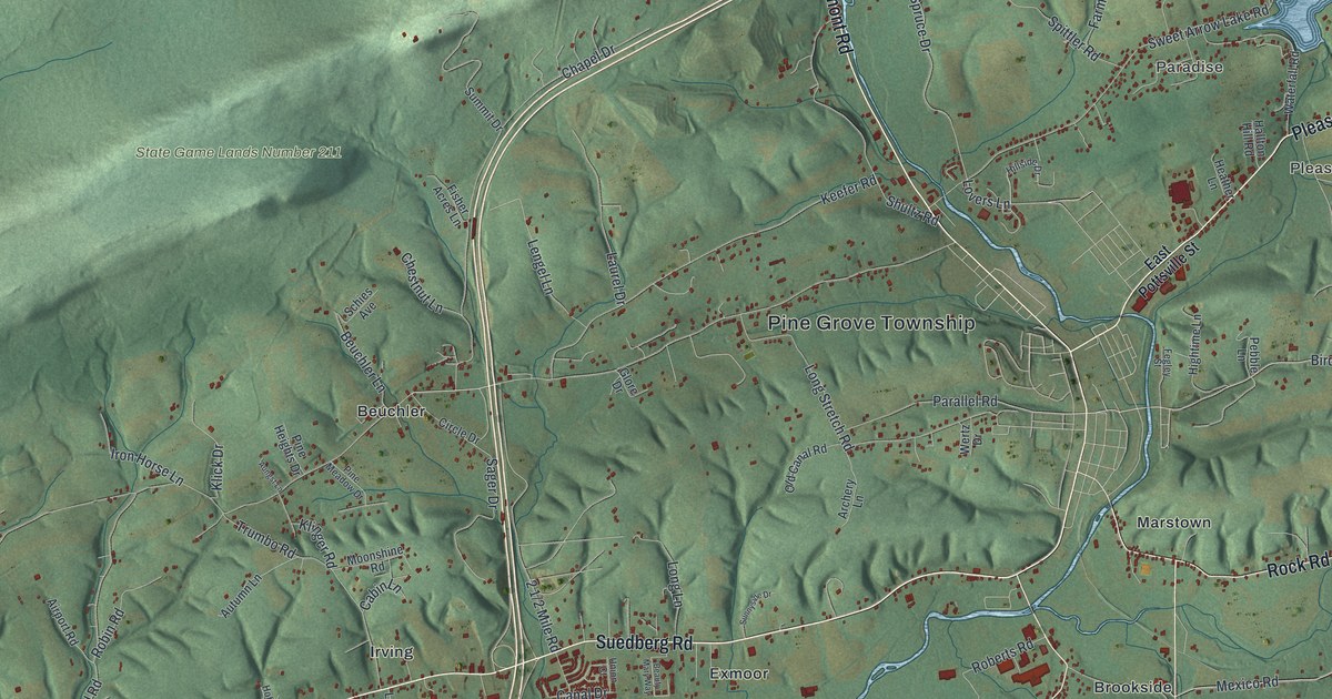
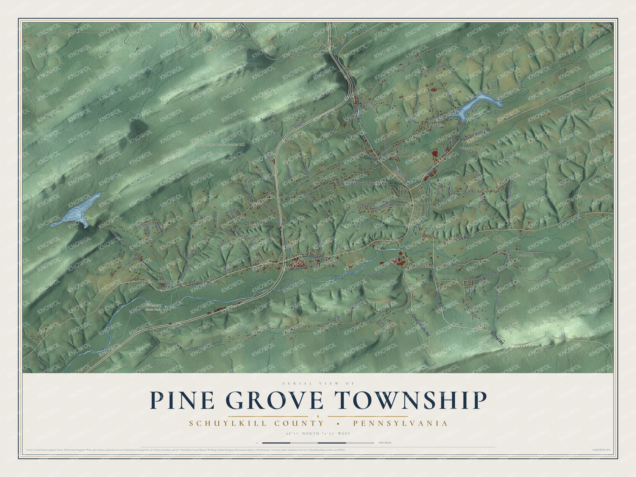
This beautifully detailed map of Pine Grove Township, Schuylkill County, Pennsylvania was created in 2026 using aerial imagery combined with modern topographical, census, street and landmark data. It’s a one-of-a-kind view of Pine Grove Township that combines accurate data with a vintage aesthetic. The map shows every building in its true location, many of the roads carry their names, and the shaded topographic relief shows the shape of the land.
Explore an aerial view of Pine Grove Township, Schuylkill County, Pennsylvania
On the map you’ll find Stanhope, Pleasant Valley, Paradise, State Game Lands Number 211, Swatara State Park, Beuchler, Brookside, Exmoor, Irving, Marstown, Outwood, and more. If you look closely you can even find your house accurately drawn in its correct location. Zoom in on the preview to look for yours.
Did you know this piece of Pine Grove Township, Schuylkill County, Pennsylvania history?
Swatara Furnace in Pine Grove Township was the first charcoal furnace built in Schuylkill County. Dr. George N. Eckert, a Whig congressman, and engineer Simeon Guilford set it up around 1830. It turned out pig iron, stoves and water pipes until production ended in 1853.
Take a closer look at the Pine Grove Township, Schuylkill County map
Street and place names on the Pine Grove Township, Schuylkill County, Pennsylvania map
These names are printed on the map of Pine Grove Township, Schuylkill County, Pennsylvania.
Places: Pine Grove Township, Stanhope, Pleasant Valley, Paradise, State Game Lands Number 211, Swatara State Park, Irving, Brookside, Outwood, Exmoor, Beuchler, Marstown, Ravine and Suedberg.
Streets and roads: Suedberg Road, Bethel Road, Pleasant Valley Road, Tremont Road, Geary Wolfe Road, Rock Road, Stanhope Road, Mexico Road, Birds Hill Road, Outwood Drive, Swopes Valley Road, Oak Grove Road.
More street names, A to Z
Airport Road, Archery Lane, Aungst Lane, Autumn Lane, Beauty Mary Way, Berger Road, Beuchler Lane, Blue Jay Lane, Brookside Road, Cabin Lane, Camp Road, Canal Drive, Cardinal Road, Chapel Drive, Chestnut Lane, Church Lane, Circle Drive, Clubhouse Road, Darkwood Road, Deer Lane, East Pottsville Street, Farm Lane, Fegley Street, Fisher Acres Lane, Glore Drive, Hallton Hill Road, Heather Lane, Hightime Lane, Hillside Drive, Hoffman Lane, Howard Lane, Iron Horse Lane, Keefer Road, Klick Drive, Klinger Road, Laurel Drive, Lehr Lane, Lengel Lane, Long Lane, Long Stretch Road, Lovers Lane, Maple Avenue, Moonshine Road, Mountain Road, Nut Grove Road, Old Canal Road, Old Forge Road, Old State Road, Owl Lane, Parallel Road, Pebble Lane, Pine Heights Drive, Pine Hill Road, Pine Meadow Drive, Pleasant Hill Road, Ravens Way, Red Oak Lane, Roberts Road, Robin Road, Roseberry Road, Sager Drive, Sam Wolfe Road, Scenic View Road, Schies Avenue, Shultz Road, Sparrow Lane, Spittler Road, Spruce Drive, Summit Drive, Sunnyside Drive, Sweet Arrow Lake Road, Tregea Lane, Trumbo Road, Union Court, Village Drive, Waterfall Road, West Lake Drive, Woodhaven Lane.
See the Pine Grove Township, Schuylkill County, Pennsylvania map on a wall
The Pine Grove Township, Schuylkill County map as an 18 x 24 inch print in a black frame.

This beautifully detailed map of Pine Grove, Schuylkill County makes an attractive addition to your office, library, or den, and it can even be used to teach children the geography and history of the area. It also makes a great gift for someone who left Pine Grove Township and still calls it home. When you’re done exploring, click here to get your copy of the Pine Grove, Schuylkill County map.