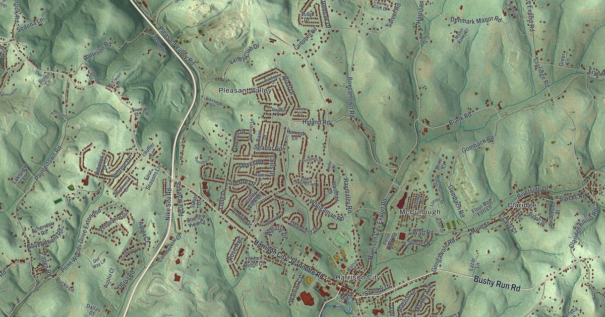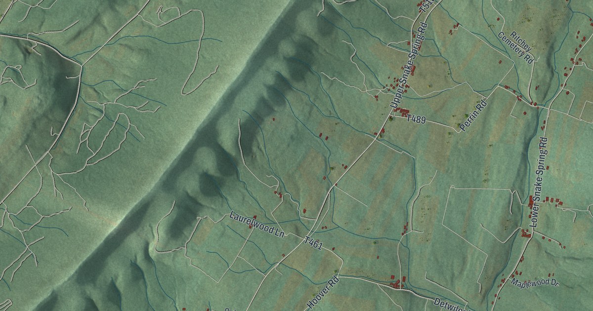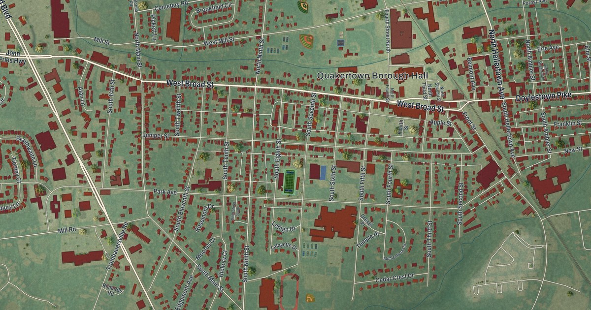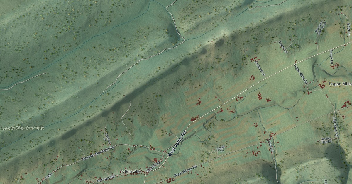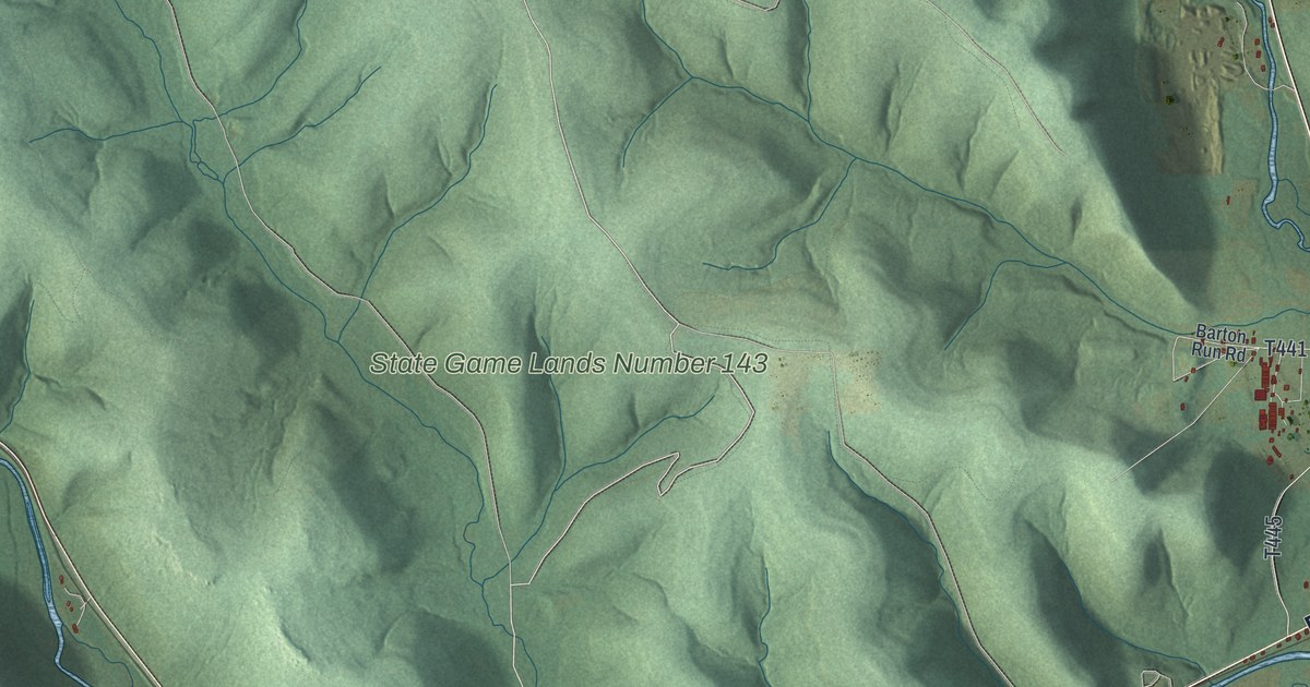
This beautifully detailed map of Pittsfield, Pennsylvania was created in 2026 using aerial imagery combined with modern topographical, census, street and landmark data. It’s a one-of-a-kind view of Pittsfield that combines accurate data with a vintage aesthetic. The map shows every building in its true location, many of the roads carry their names, and the shaded topographic relief shows the shape of the land.
Explore an aerial view of Pittsfield, Pennsylvania
On the map you’ll find Torpedo, Garland, State Game Lands Number 143, and Spetz Hill, along with Grand Army of the Republic Highway, Main Street, Spetz Hill Road, Hosmer Run Road, Marshi Anne Road, and more. If you look closely you can even find your house accurately drawn in its correct location. Zoom in on the preview to look for yours.
Did you know this piece of Pittsfield, Pennsylvania history?
From the History of Warren County: "William Carpenter lived in the western part of what is now Pittsfield township, previous to 1806, near the site of Garland, where he cleared and cultivated quite a farm."
Take a closer look at the Pittsfield map
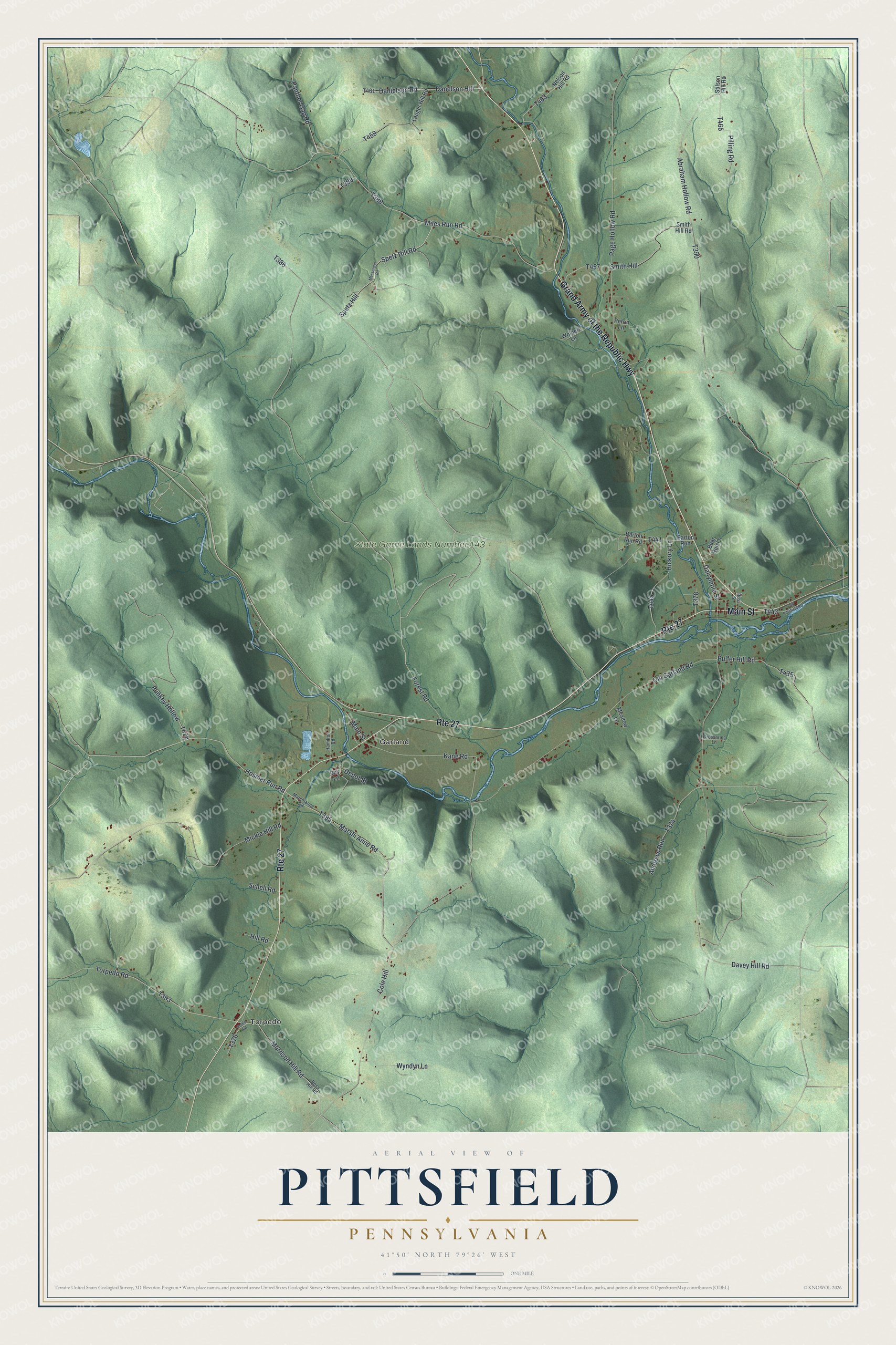
Street and place names on the Pittsfield, Pennsylvania map
These names are printed on the map of Pittsfield, Pennsylvania.
Places: Torpedo, Garland and State Game Lands Number 143.
Streets and roads: Grand Army of the Republic Highway, Route 27, Main Street, Spetz Hill, Spetz Hill Road, Hosmer Run Road, Marshi Anne Road, Morrison Hill Road, Kane Road, Pulfer Hill Road, Cole Hill, Abraham Hollow Road.
More street names, A to Z
Andrews Run, Barton Run, Barton Run Road, Bear Run Lane, Crossarms Lane, Dalrymple Street, Danelson Hill, Danielson Road, Davey Hill Road, Depot Street, Dey Lane, Forest Road, Hamilton Road, Hickory Lane, Hill Road, Lauger Hill Road, Marshianne Road, Meadow Lane, Messenger Road, Mickle Hill Road, Miles Run Road, Nelson Hill Road, Old Garland Road, Old Pittsfield Road, Page Hollow Road, Panther Gap Road, Perrin Lane, Pilling Road, Punkey Hollow, Ross Hill Road, Ross Street, Schell Road, Smith Hill, Smith Hill Road, Stilson Hill Road, Torpedo Road, Wolbert Lane, Wyndyn Lane, Zolko Road.
See the Pittsfield, Pennsylvania map on a wall
The Pittsfield map as an 18 x 24 inch print in a black frame.

This beautifully detailed map of Pittsfield makes an attractive addition to your office, library, or den, and it can even be used to teach children the geography and history of the area. It also makes a great gift for someone who left Pittsfield and still calls it home. When you’re done exploring, click here to get your copy of the Pittsfield map.