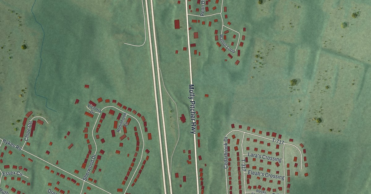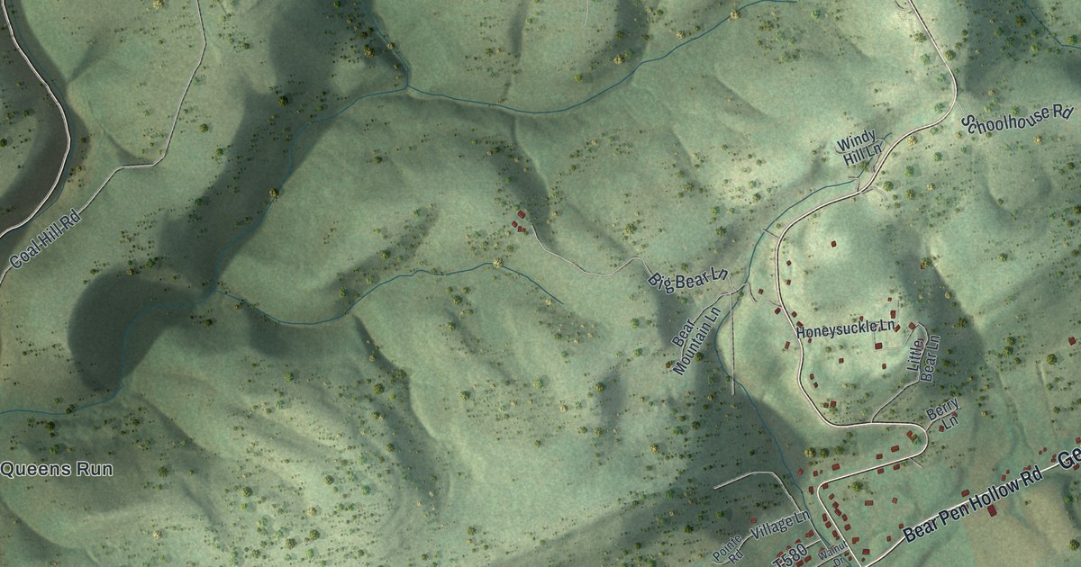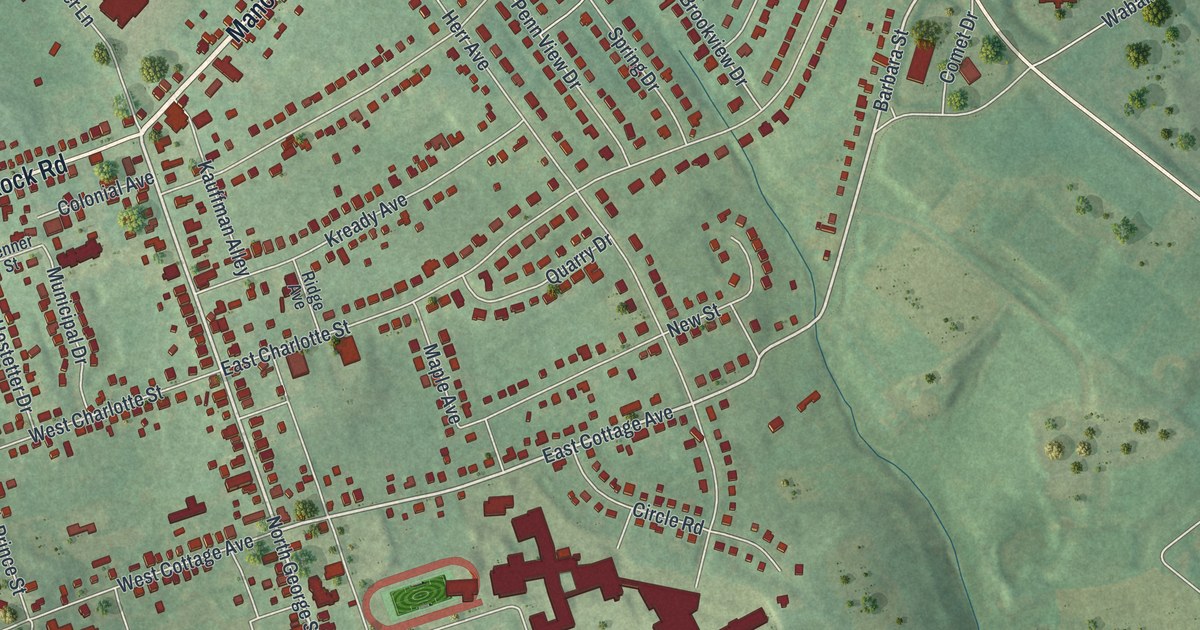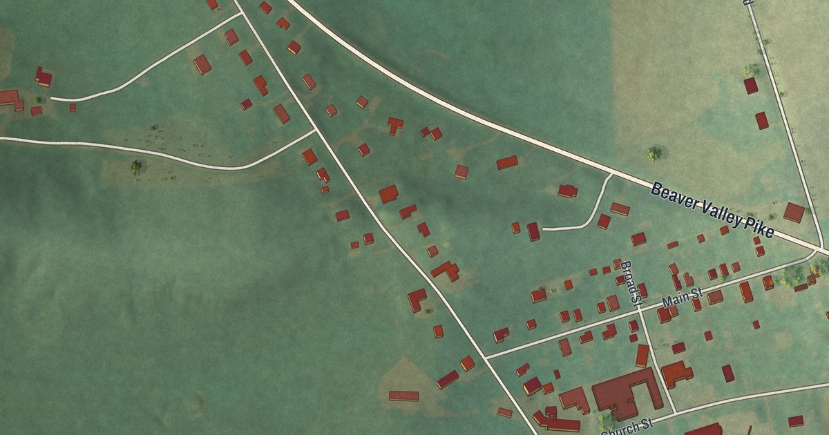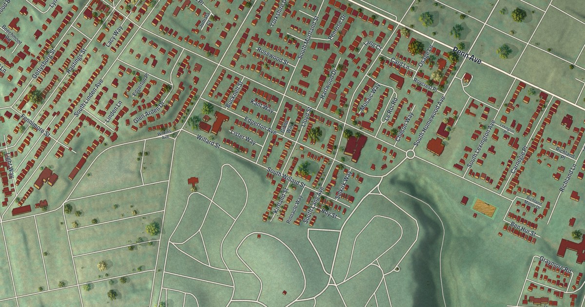
This beautifully detailed map of Point Breeze, Pennsylvania was created in 2026 using aerial imagery combined with modern topographical, census, street and landmark data. It’s a one-of-a-kind view of Point Breeze that combines accurate data with a vintage aesthetic. The map shows every building in its true location, many of the roads carry their names, and the shaded topographic relief shows the shape of the land.
Explore an aerial view of Point Breeze, Pennsylvania
On the map you’ll find Homewood Cemetery, Mellon Park, Frick Park, and Homewood, along with Penn Avenue, South Homewood Avenue, South Dallas Avenue, Graymore Road, Edgerton Avenue, Richland Lane, Willard Street, Reynolds Street, and more. If you look closely you can even find your house accurately drawn in its correct location. Zoom in on the preview to look for yours.
Did you know this piece of Point Breeze, Pennsylvania history?
Point Breeze took its name from a tavern that once stood there. Its best-known landmark is Clayton, the home of Henry Clay Frick. The house is now part of the 5.5-acre Frick Art and Historical Center. Pulitzer Prize winner Annie Dillard set her memoir An American Childhood in Point Breeze in the 1950s.
Point Breeze is a place in Allegheny County.
Take a closer look at the Point Breeze map
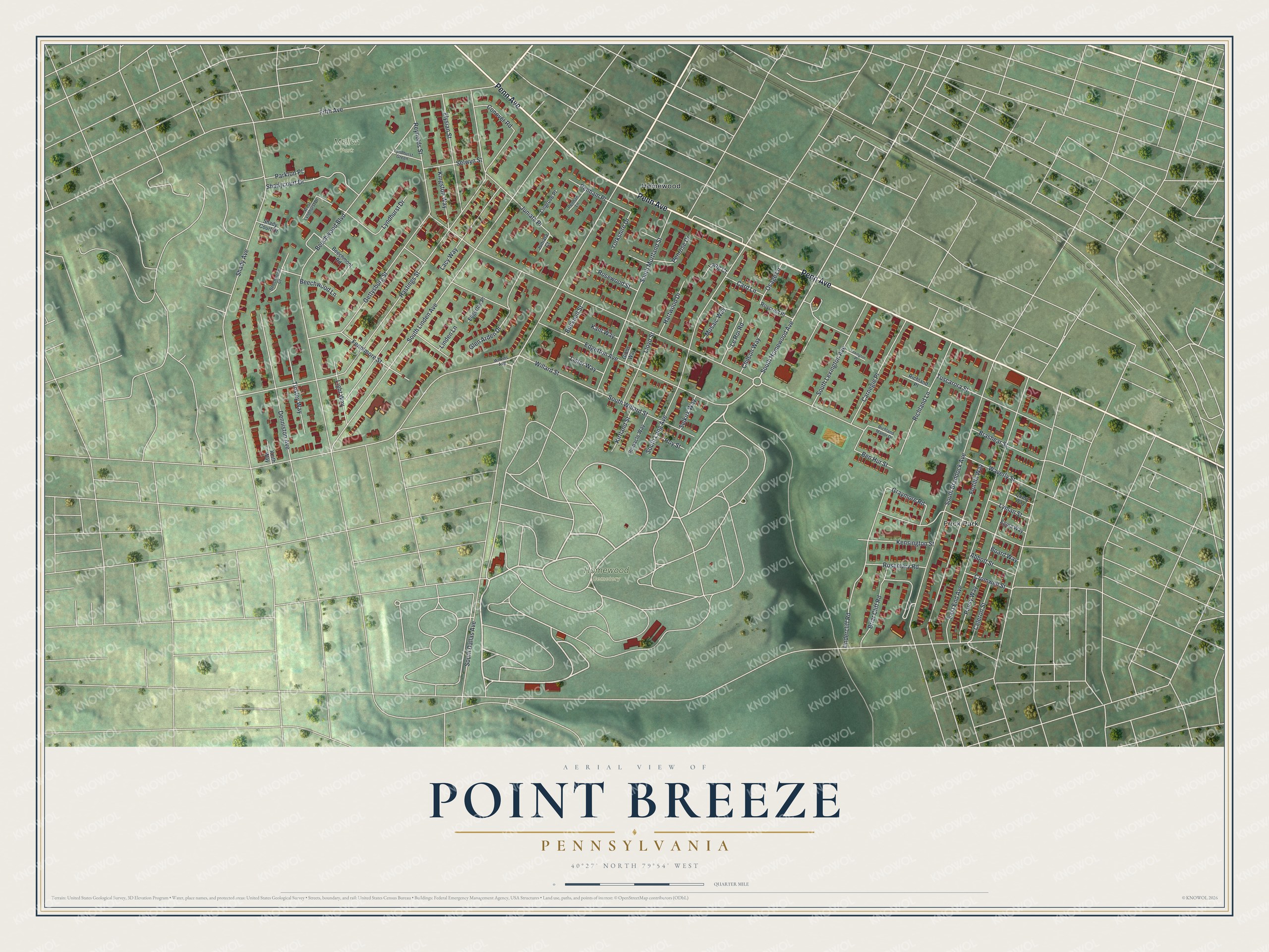
Street and place names on the Point Breeze, Pennsylvania map
These names are printed on the map of Point Breeze, Pennsylvania.
Places: Homewood Cemetery, Mellon Park, Frick Park and Homewood.
Streets and roads: Penn Avenue, South Homewood Avenue, South Dallas Avenue, Graymore Road, Edgerton Avenue, Richland Lane, Willard Street, Reynolds Street, Hastings Street, Beechwood Boulevard, South Linden Avenue, Shady Avenue.
More street names, A to Z
Abbott Street, Beechmont Road, Beechwood Court, Beechwood Lane, Ben Hur Street, Board Way, Brashear Street, Briar Cliff Road, Bucknell Street, Card Lane, Carnegie Place, Celeron Street, Chilson Way, Conover Road, Cromwell Street, Denniston Avenue, East End Avenue, Edgerton Place, Egina Way, Elysian Street, Fennimore Street, Fifth Avenue, Flotilla Way, Gettysburg Street, Gibbs Way, Glen Arden Drive, Hartwood Drive, Juniata Court, Juniata Place, Kant Way, Keith Way, Kensington Street, Kingston Way, Kirtland Street, Lacy Way, Lang Court, Le Roi Road, Lexington Place, Light Way, Linden Lane, Lingrove Place, Lister Way, Lloyd Street, Lyman Street, Lyndhurst Drive, Lyndhurst Green, Mosaic Way, Osage Lane, Pansy Way, Parkton Place, Penham Lane, Penham Place, Penrose Drive, Pinnacle Way, Query Way, Richland Manor Drive, Richland Place, Rosemary Road, Rosewood Street, Roycrest Place, Roy Street, Selkirk Way, Selwyn Street, Shadycourt Drive, Shady Court Drive, South Braddock Avenue, South Lang Avenue, South Lexington Avenue, South Murtland Street, South Willard Street, Tinsley Way, Tuscarora Street, Undercliff Road, Waverly Street, West Lyndhurst Drive, Wilkins Avenue, Yorkshire Drive.
See the Point Breeze, Pennsylvania map on a wall
The Point Breeze map as an 18 x 24 inch print in a black frame.

This beautifully detailed map of Point Breeze makes an attractive addition to your office, library, or den, and it can even be used to teach children the geography and history of the area. It also makes a great gift for someone who left Point Breeze and still calls it home. When you’re done exploring, click here to get your copy of the Point Breeze map.