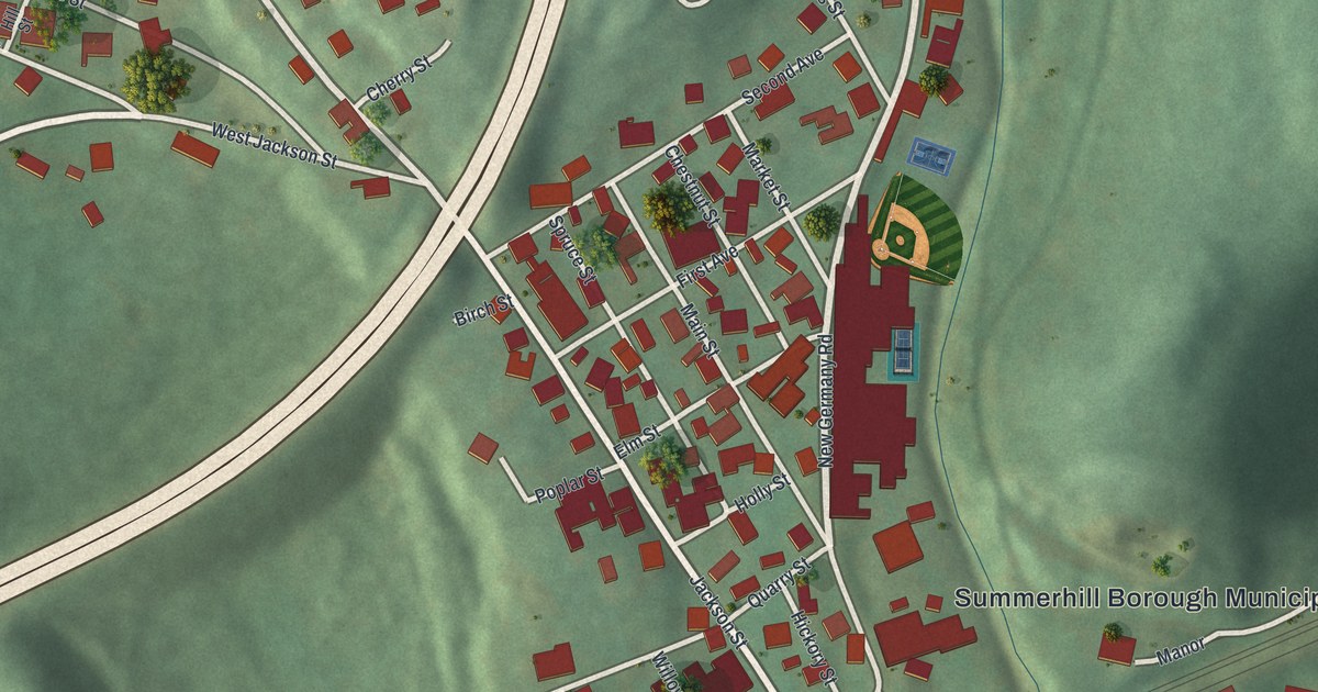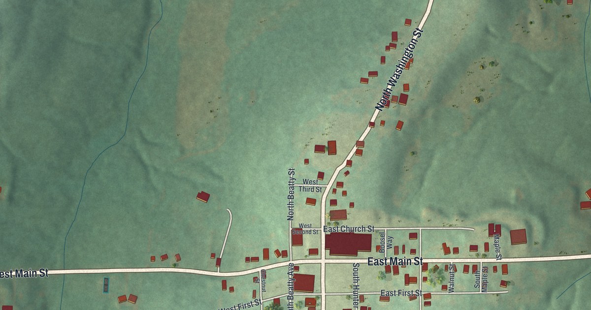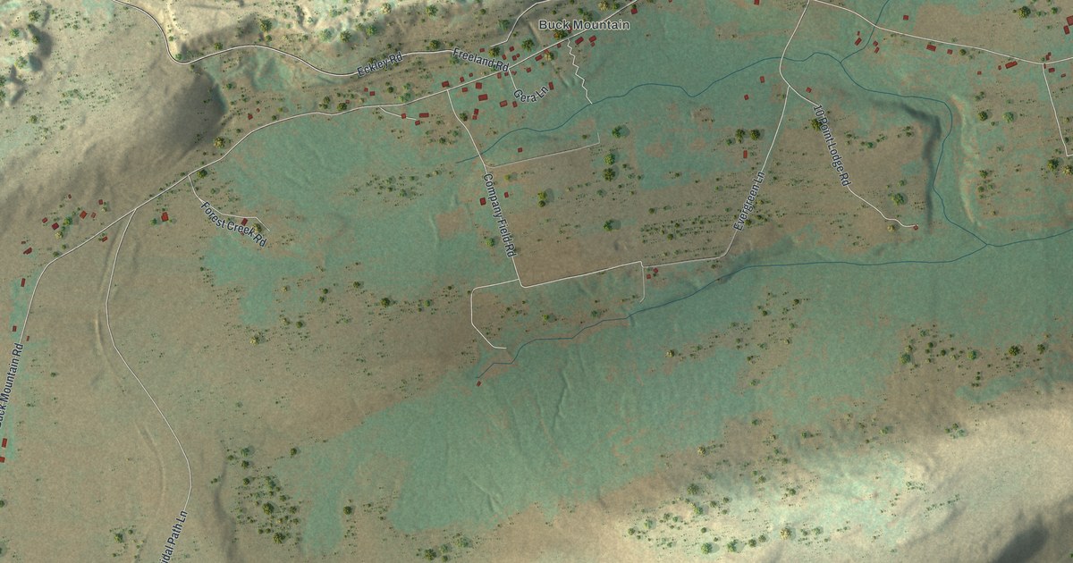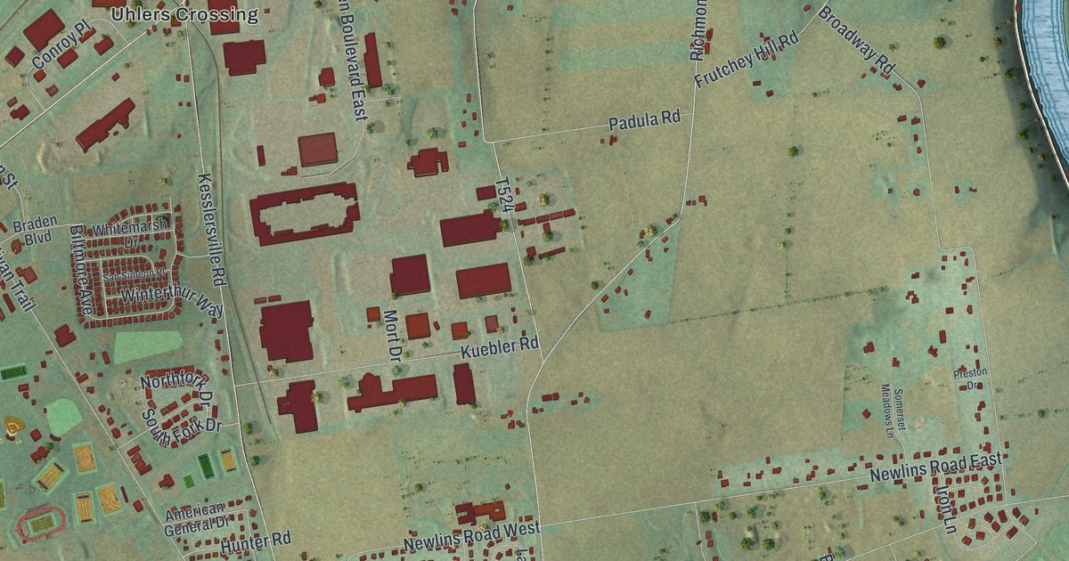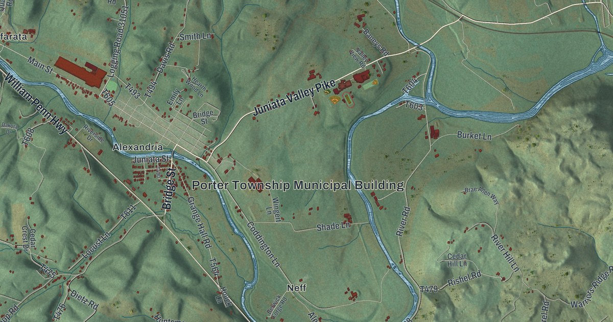
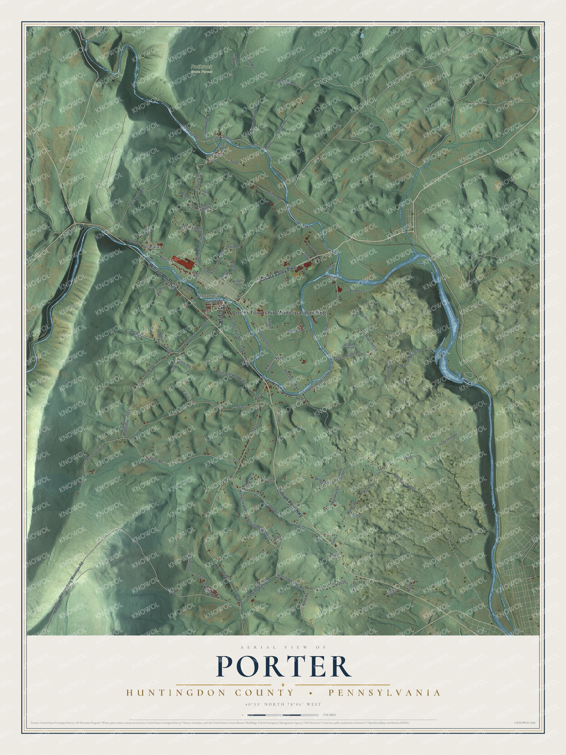
This beautifully detailed map of Porter, Huntingdon County, Pennsylvania was created in 2026 using aerial imagery combined with modern topographical, census, street and landmark data. It's a modern aerial view of Porter, Huntingdon County in Huntingdon County, Pennsylvania, that combines modern data with a vintage aesthetic. The roads feature printed names, and if you look closely you can find your exact house accurately shown in its correct location.
Explore an aerial view of Porter, Huntingdon County, Pennsylvania
On this map you'll find Porter Township Municipal Building, Rothrock State Forest, Alexandria, Alfarata, Barree, Neff, Bridge Street, Juniata Valley Pike, William Penn Highway, Logging Road 31051, Main Street, Alexandria Pike, and more. Each red shape is a building, so zoom in on the preview and look for yours.
Every town has a first chapter, and Porter, Huntingdon County is no exception. The Pennsylvania Historical and Museum Commission puts it this way: "The Frankstown Path, highway of early travelers in this region, passed through the settlement of Hart's Log–later called Hartslog, now Alexandria. The place was first named after a hollow log at this site, which the trader John Hart used between 1744 and 1755 as a feeding trough for his pack of horses."
Porter, Huntingdon County is a place in Huntingdon County. The Census Bureau counted 1,904 people here in 2020.
Take a closer look at the Porter, Huntingdon County map
Names on this map
These names are printed on this map.
Places: Porter Township Municipal Building, Rothrock State Forest, Alexandria, Alfarata, Barree and Neff.
Streets and roads: Bridge Street, Juniata Valley Pike, William Penn Highway, Logging Road 31051, Main Street, Alexandria Pike, Logging Road 31033, Barree Road, Pauls Road, Reservoir Circle, Hartzlog Valley Road, Homestead Road.
More street names, A to Z
Allison Road, Angels Way, Baneys Road, Becks Circle, Berwick Forge Road, Brae Allen Way, Bren Lane, Brickyard Road, Burket Lane, Cedar Crest Drive, Cedar Hill Lane, Century Drive, Coddington Lane, Comstock Road, Dakota Drive, Davis Road, Dietz Road, Emily Lane, Ezb Drive, Faith Lane, Glenhur Lane, Grange Hall Road, Greene Hills Lane, Hartslog Road, Hartslog Valley Road, Hearth Wood Lane, Heeter Road, Horse Show Road, Houck Lane, Huntsman Hollow Road, Ice Pond Lane, Juniata Street, Laurel Road, Locust Lane, Logging Road 07039, Logging Road 31046, Logging Road 31098, Loop Road, Mardon Lane, McClain Dam Road, McGuire Road, Mountain Road, Oak Drive, Oakland Drive, Old Orchard Lane, Old Route 22, Opas Lane, Pike Street, Quarry Road, Redbud Lane, Reed Road, Rishel Road, River Hill Lane, River Road, Riverside Drive, Rt4014, Runk Road, Runks Road, Shade Lane, Sipes Road, Smith Lane, Sr3014, Sr3039, Tadpole Hollow, Teaberry Hollow Road, Tr614, Tram Road, Trimers Road, Unnamed Dirt Road, Valley View Road, Walnut Drive, Warriors Ridge Road, Westwood Lane, Williamsburg Mountain Road, Windy Hill Lane, Wingert Lane, Woods Lane, Wyndhill Lane.
Created by KNOWOL in 2026. The buildings are small red shapes, the roads carry their printed names, and shaded relief shows the shape of the land. The title panel reads "AERIAL VIEW OF PORTER HUNTINGDON COUNTY • PENNSYLVANIA" with 4, 0, °, 3, 3, ', , N, O, R, T, H, , 7, 8, °, 0, 6, ', , W, E, S, T.
Hang it in the hallway, the office or the cabin, or give it to someone who left Porter, Huntingdon County and still calls it home. Open the preview and look for a street you know. See sizes and frames for the Porter, Huntingdon County map.