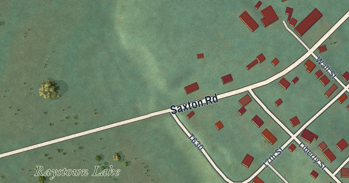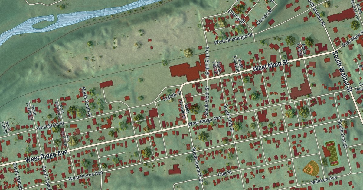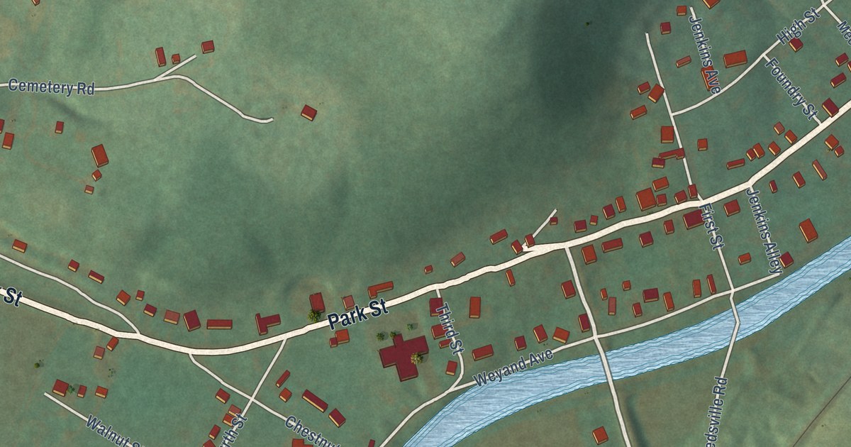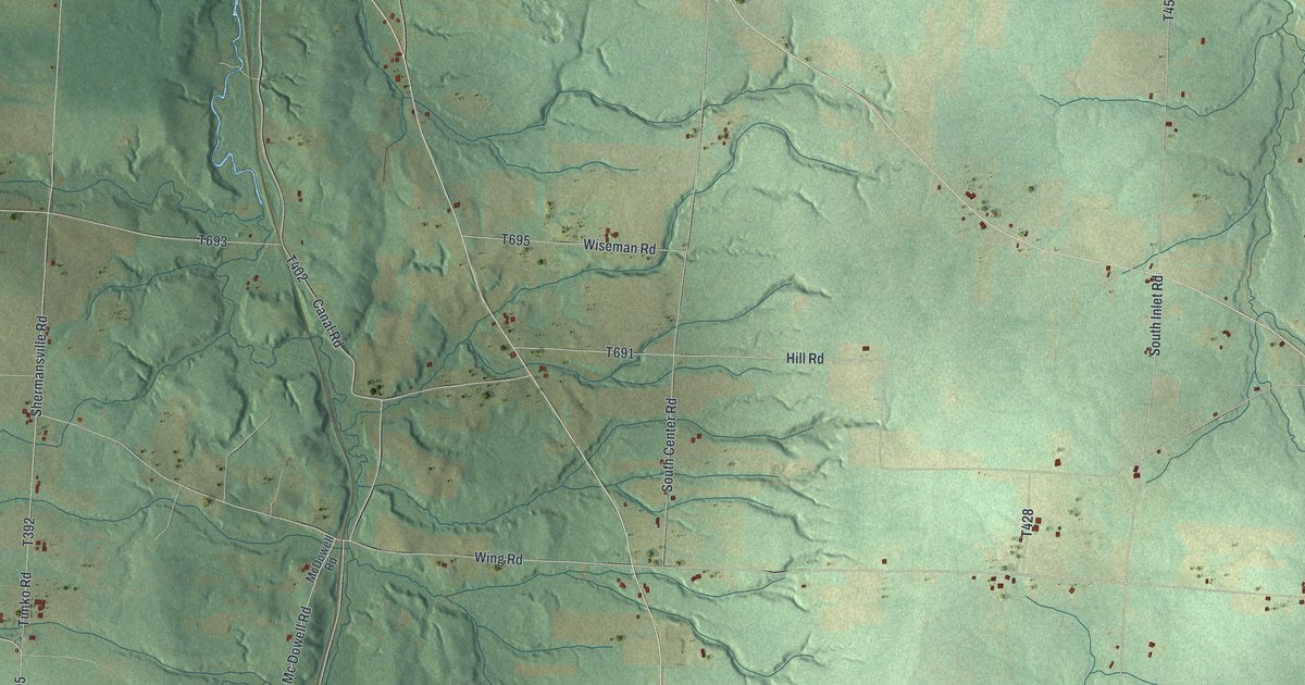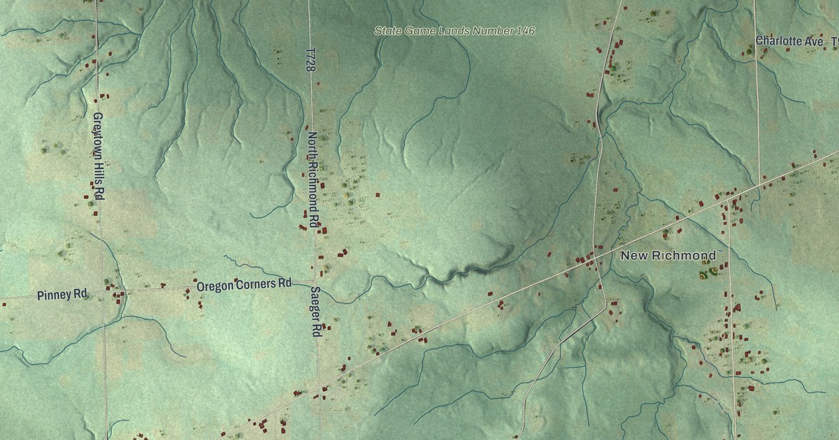
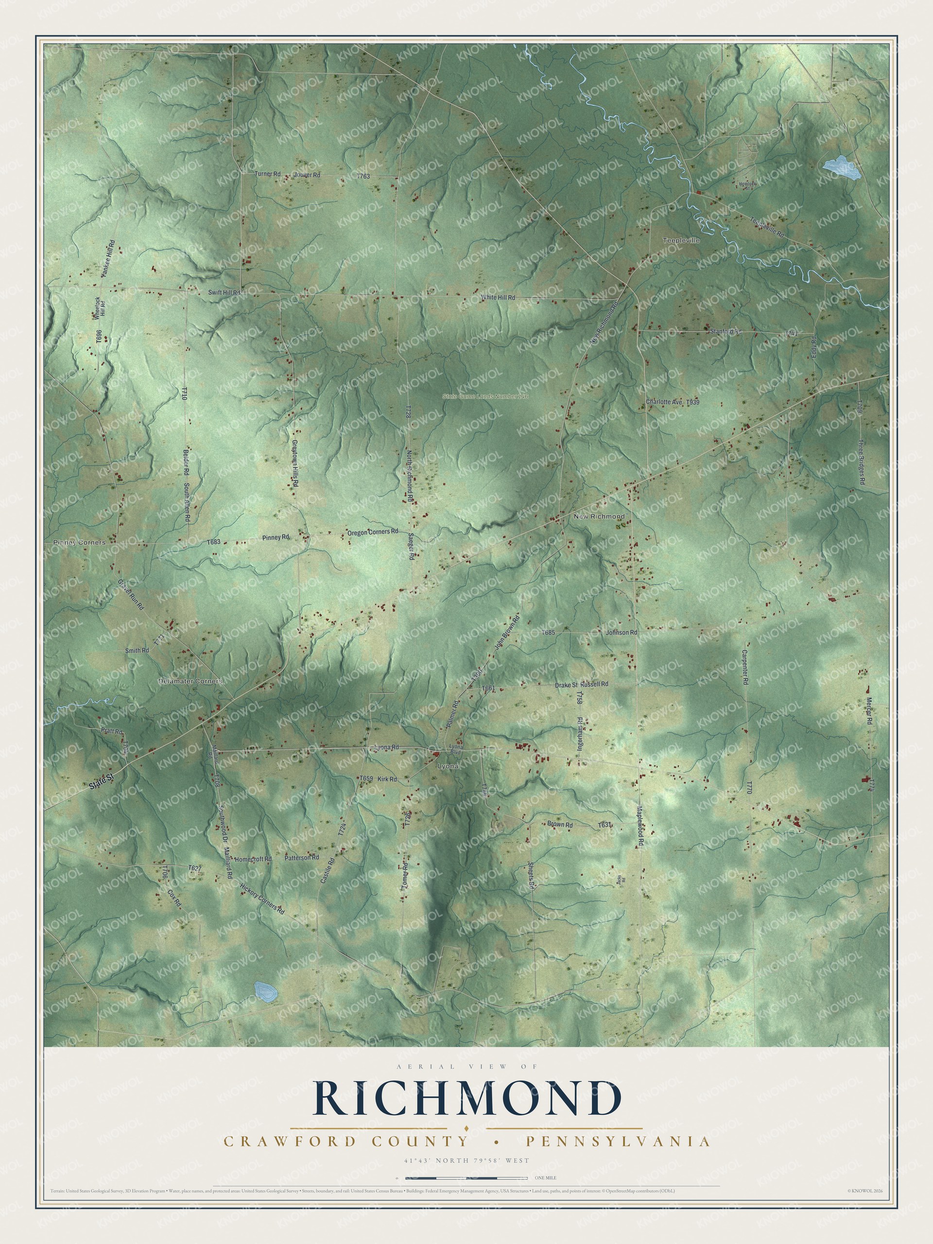
This beautifully detailed map of Richmond, Crawford County, Pennsylvania was created in 2026 using aerial imagery combined with modern topographical, census, street and landmark data. It’s a one-of-a-kind view of Richmond that combines accurate data with a vintage aesthetic. The map shows every building in its true location, many of the roads carry their names, and the shaded topographic relief shows the shape of the land.
Explore an aerial view of Richmond, Crawford County, Pennsylvania
On the map you’ll find Pinney Corners, Teepleville, Delamater Corners, Lyona, New Richmond, and State Game Lands Number 146, along with State Street, Lyona Road, Greytown Hills Road, Maplewood Road, North Richmond Road, and more. If you look closely you can even find your house accurately drawn in its correct location. Zoom in on the preview to look for yours.
Did you know this piece of Richmond, Crawford County, Pennsylvania history?
Most of Richmond Township lay in the Seventh Donation District. The state set this land aside to pay its Revolutionary War soldiers. Yet no veteran is known to have made a home here. Their land warrants were held in low regard and often traded away for a trifle. That’s from the 1885 History of Crawford County.
Take a closer look at the Richmond, Crawford County map
Street and place names on the Richmond, Crawford County, Pennsylvania map
These names are printed on the map of Richmond, Crawford County, Pennsylvania.
Places: Pinney Corners, Teepleville, Delamater Corners, Lyona, New Richmond and State Game Lands Number 146.
Streets and roads: State Street, Lyona Road, Greytown Hills Road, Maplewood Road, North Richmond Road, Saeger Road, Yankee Hill Road, Teepleville Road, Mercer Road, White Hill Road, Johnson Road, Gravel Run Road.
More street names, A to Z
Beider Road, Brown Road, Carpenter Road, Castile Road, Charlotte Avenue, Cox Road, Drake Street, Eddy Road, Hemlock Street, Hickory Corners Road, Homecroft Road, Ingerham Road, Jacks Road, John Brown Road, Jouver Road, Kirk Road, Lyona Boulevard, Maillard Road, Mailliard Road, New Richmond Road, Oregon Corners Road, Palmer Road, Patterson Road, Pinney Road, Pratt Road, Russell Road, Sheets Road, Smith Road, South Allen Road, Southwood Drive, Stanford Road, Swift Hill Road, Three Bridges Road, Tomer Road, Turner Road, Wheelock Hill Road.
See the Richmond, Crawford County, Pennsylvania map on a wall
The Richmond, Crawford County map as an 18 x 24 inch print in a black frame.

This beautifully detailed map of Richmond, Crawford County makes an attractive addition to your office, library, or den, and it can even be used to teach children the geography and history of the area. It also makes a great gift for anyone who grew up in Richmond or moved away. When you’re done exploring, click here to get your copy of the Richmond, Crawford County map.