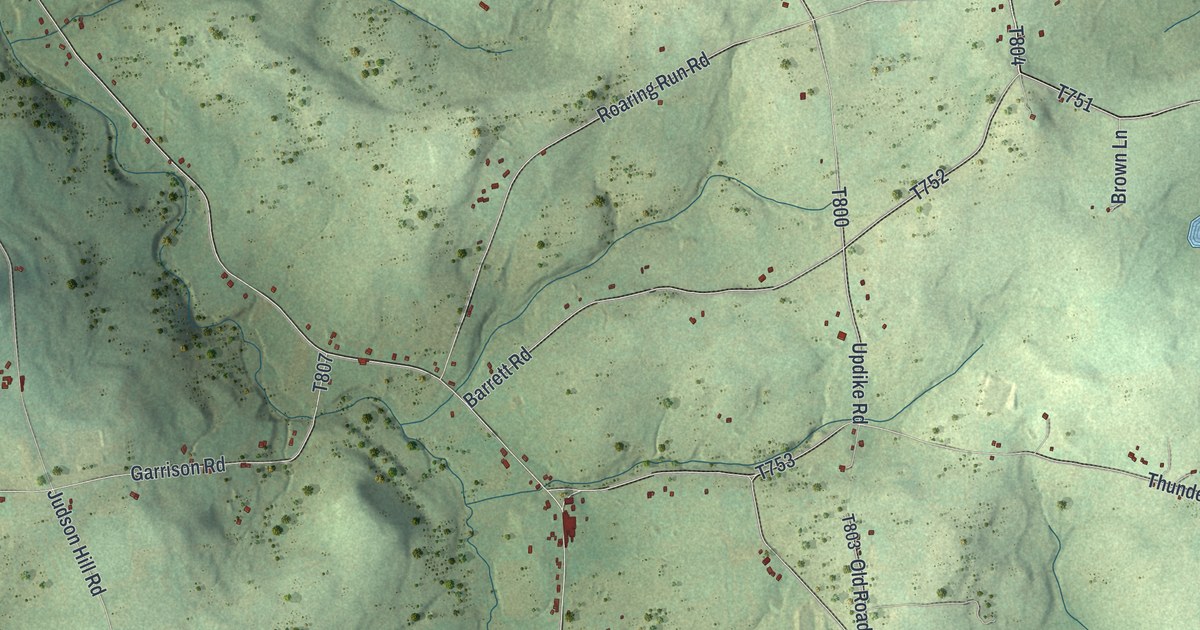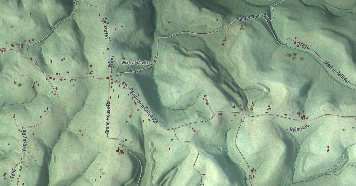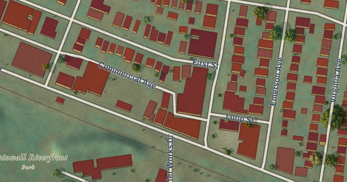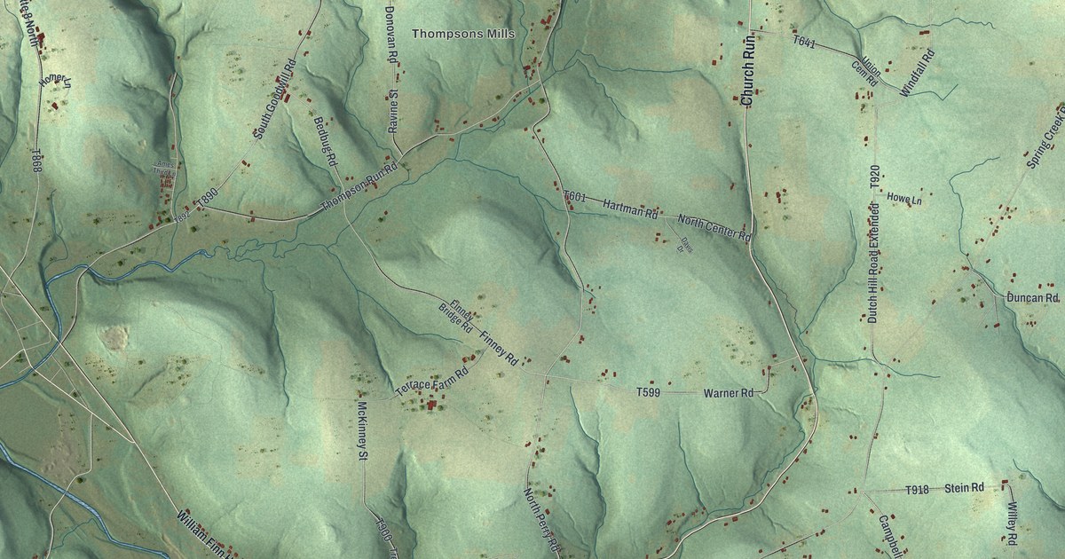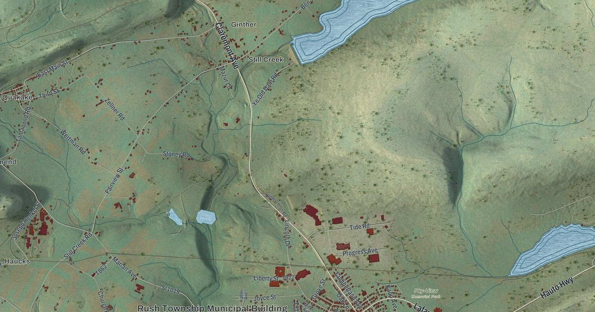
This beautifully detailed map of Rush, Schuylkill County, Pennsylvania was created in 2026 using aerial imagery combined with modern topographical, census, street and landmark data. It’s a one-of-a-kind view of Rush that combines accurate data with a vintage aesthetic. The map shows every building in its true location, many of the roads carry their names, and the shaded topographic relief shows the shape of the land.
Explore an aerial view of Rush, Schuylkill County, Pennsylvania
On the map you’ll find Rush Township Municipal Building, Grier City, Sky-View Memorial Park, State Game Lands Number 227, Tuscarora State Park, Barnesville, Ginther, Haucks, Hometown, Park Crest, Quakake, Still Creek, and more. If you look closely you can even find your house accurately drawn in its correct location. Zoom in on the preview to look for yours.
Did you know this piece of Rush, Schuylkill County, Pennsylvania history?
Rush Township was incorporated in 1811 and named for Judge Jacob Rush. He was the younger brother of Benjamin Rush, who signed the Declaration of Independence. Before Schuylkill County was formed, Judge Rush served the judicial district that covered this land.
Take a closer look at the Rush, Schuylkill County map
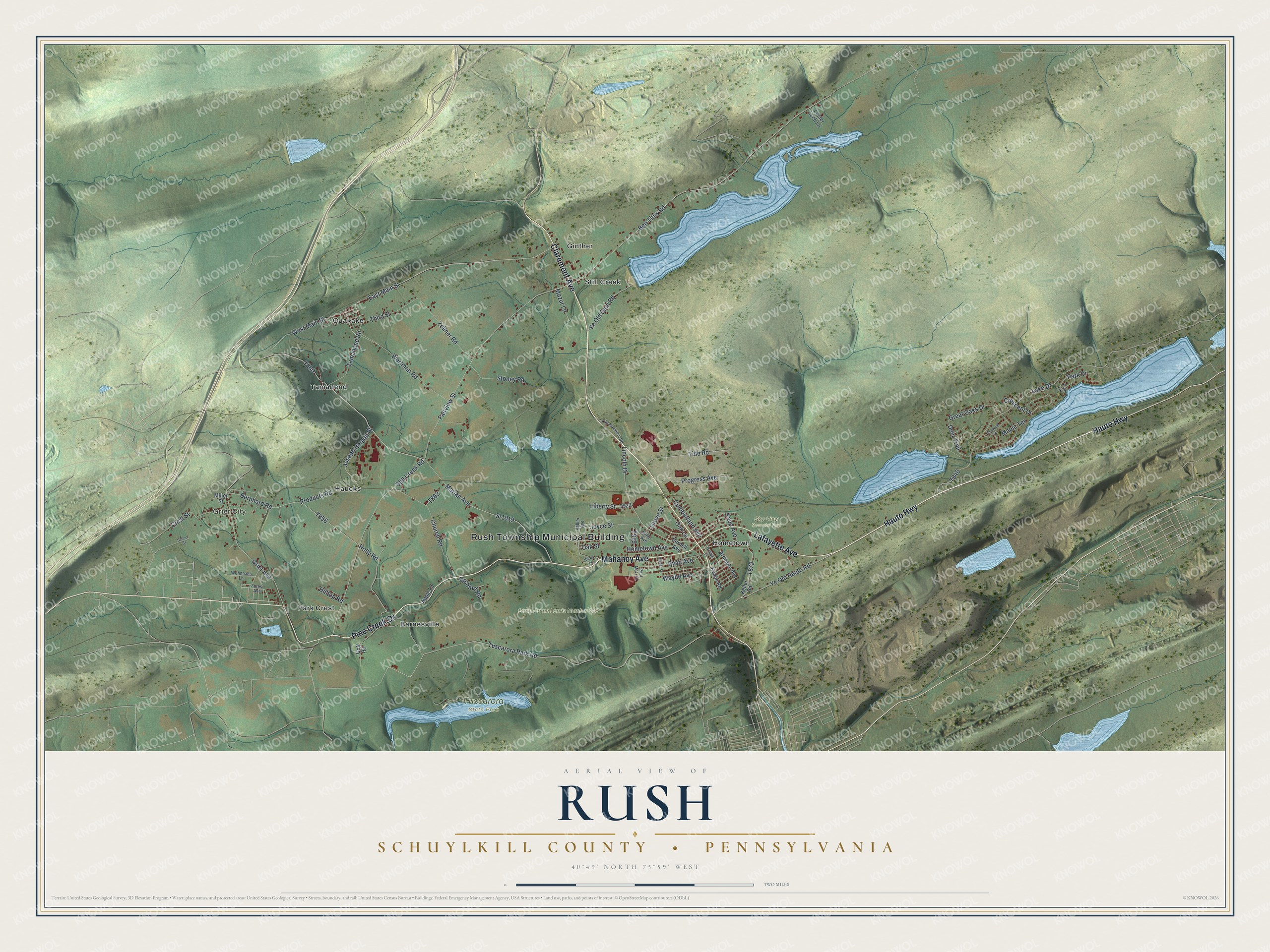
Street and place names on the Rush, Schuylkill County, Pennsylvania map
These names are printed on the map of Rush, Schuylkill County, Pennsylvania.
Places: Rush Township Municipal Building, Grier City, Sky-View Memorial Park, State Game Lands Number 227, Tuscarora State Park, Barnesville, Ginther, Haucks, Hometown, Park Crest, Quakake, Still Creek and Tamanend.
Streets and roads: Claremont Avenue, Hauto Highway, Lafayette Avenue, Mahanoy Avenue, Pine Creek Drive, Ye Old Hauto Road, Marian Avenue, East Main Street, Lake Drive, Sr1019, Tamanend Road, Still Creek Road.
More street names, A to Z
Apple Lane, Ardmore Avenue, Ben Titus Road, Bernhard Road, Blews Lane, Church Road, Crescent Drive, Crest Street, Cumberland Avenue, Deer Trail, Dogwood Lane, Fairview Street, Forest Avenue, Golf Road, Great Oaks Drive, Grier Avenue, Grove Street, Hilltop Road, Holly Road, Hometown Avenue, Hunter Street, Joseph Henkel Street, Joyce Street, Kahler Avenue, Kaup Avenue, Keller Road, Lester Lech Lane, Liberty Street, Lincoln Drive, Maple Terrace, Mazur Lane, Miller Avenue, Miller Street, Oak Lane, Oak Street, Old Hazleton Road, Orchard Road, Ortega Street, Park Drive, Paul Matz Street, Pine Terrace, Products Road, Progress Avenue, Purnell Avenue, Ryan Avenue, Rymin Road, School Street, Stoney Road, Third Street, Tide Road, Tuscarora Park Road, Wayne Avenue, Wertman Road, West Main Street, Wohnhaas Lane, Ye Old Dam Road, Zellner Road.
See the Rush, Schuylkill County, Pennsylvania map on a wall
The Rush, Schuylkill County map as an 18 x 24 inch print in a black frame.

This beautifully detailed map of Rush, Schuylkill County makes an attractive addition to your office, library, or den, and it can even be used to teach children the geography and history of the area. It also makes a great gift for someone who left Rush and still calls it home. When you’re done exploring, click here to get your copy of the Rush, Schuylkill County map.