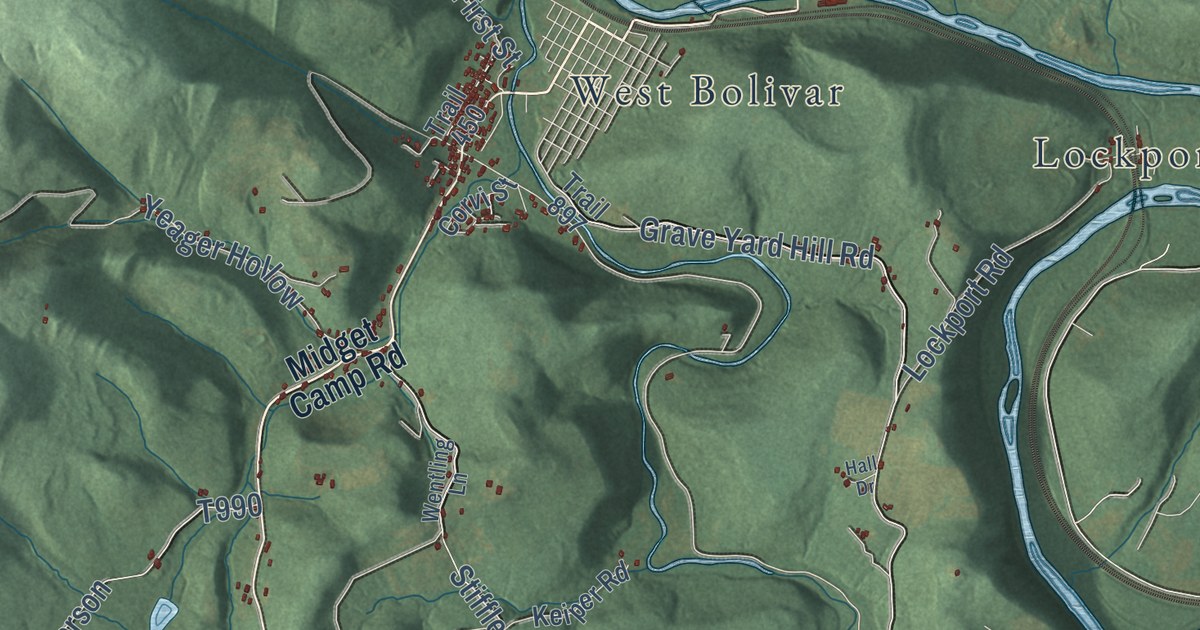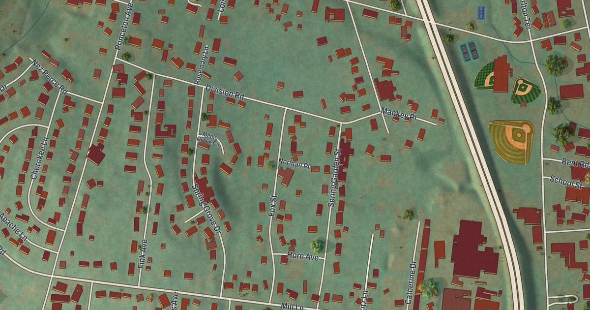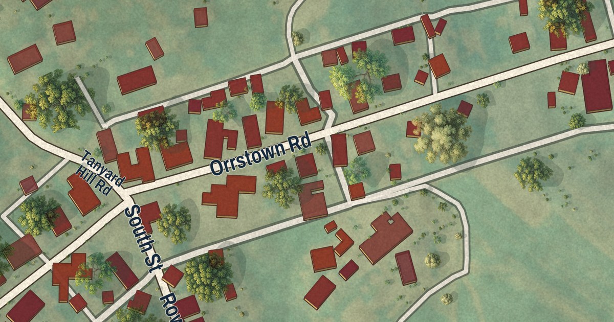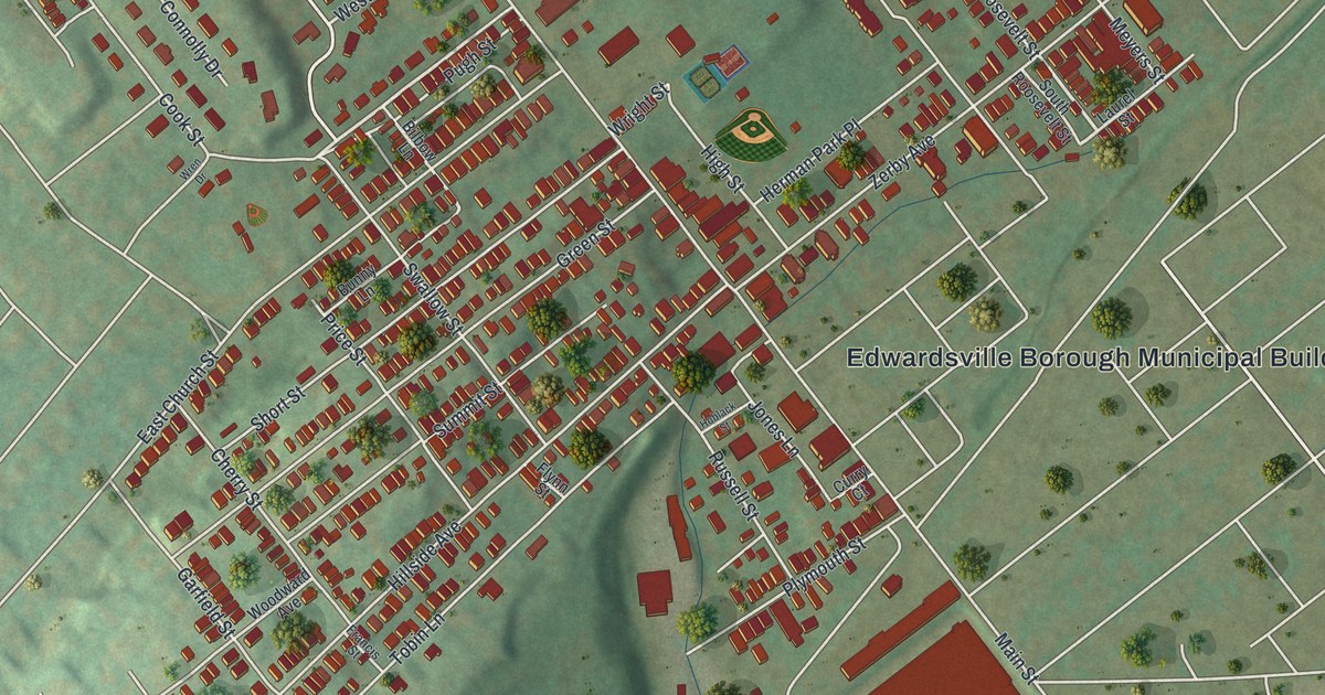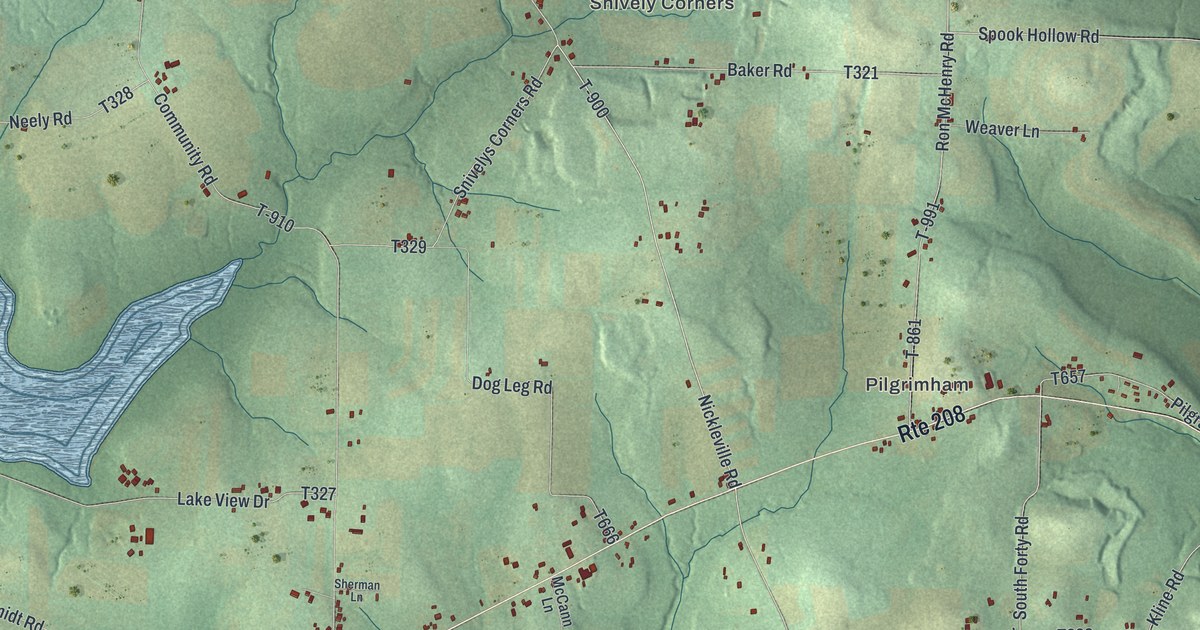
This beautifully detailed map of Salem, Clarion County, Pennsylvania was created in 2026 using aerial imagery combined with modern topographical, census, street and landmark data. It’s a one-of-a-kind view of Salem that combines accurate data with a vintage aesthetic. The map shows every building in its true location, many of the roads carry their names, and the shaded topographic relief shows the shape of the land.
Explore an aerial view of Salem, Clarion County, Pennsylvania
On the map you’ll find Lamartine, Snively Corners, Pilgrimham, and Mariasville, along with Old State Road, Nickleville Road, Delo School Road, Crum Road, Ron McHenry Road, Beaver Hill Road, Community Road, and more. If you look closely you can even find your house accurately drawn in its correct location. Zoom in on the preview to look for yours.
Did you know this piece of Salem, Clarion County, Pennsylvania history?
From Pa-roots.com: "There were many little knolls between the springs along the brow of the hill and the Run; on these are little piles of stones called curly-backs, which have been burned."
Take a closer look at the Salem, Clarion County map
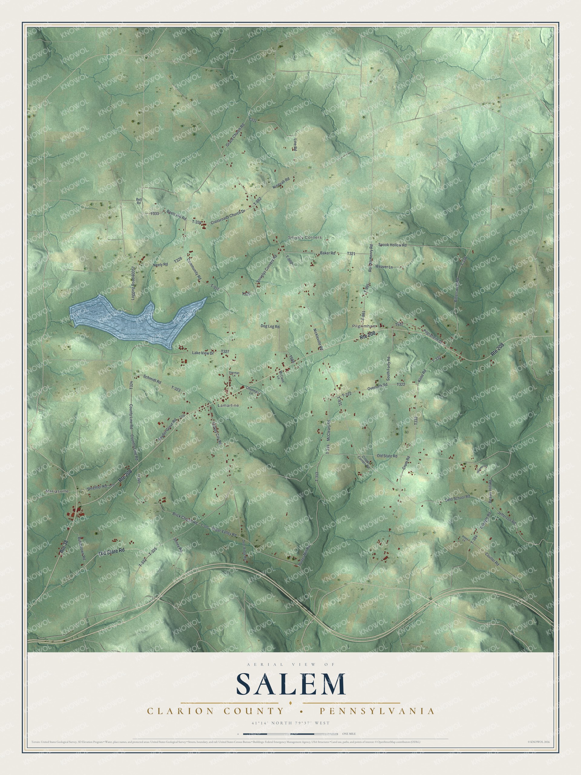
Street and place names on the Salem, Clarion County, Pennsylvania map
These names are printed on the map of Salem, Clarion County, Pennsylvania.
Places: Lamartine, Snively Corners, Pilgrimham and Mariasville.
Streets and roads: Old State Road, Route 208, Route 38, Nickleville Road, Delo School Road, Crum Road, Ron McHenry Road, Beaver Hill Road, Community Road, T-861, Grace Church Road, Spook Hollow Road.
More street names, A to Z
Baker Road, Beels Hill Road, Bell Road, Bittersweet Road, Brick Church Road, Buttertown Road, Chadman Lane, Coulter Road, Country Line Road, County Line Road, Cropps Corners Road, Crossroads Church Drive, Deer Ridge Road, Dog Leg Road, Jefferson Road, Kline Road, Lake View Drive, Line Road, Logging Road 60057, McCann Lane, McCleary Road, Neely Road, Ninevah Road, Overlook Road, Pilgraheim Drive, Piney Lane, Porter Mill Road, Schmidt Road, Sherman Lane, Shirey Road, Shreffler Road, Snivelys Corners Road, Snyder Grove Road, South Forty Road, Sugar Valley Road, T-312, T-313, T-314, T-320, T-322, T-323, T-325, T-332, T-334, T-336, T-340, T-341, T-384, T-862, T-900, T-910, T-931, T-991, Triangle Road, Turkey City Road, Weaver Lane, Wesner Lane.
See the Salem, Clarion County, Pennsylvania map on a wall
The Salem, Clarion County map as an 18 x 24 inch print in a black frame.

This beautifully detailed map of Salem, Clarion County makes an attractive addition to your office, library, or den, and it can even be used to teach children the geography and history of the area. It also makes a great gift for anyone who grew up in Salem or moved away. When you’re done exploring, click here to get your copy of the Salem, Clarion County map.