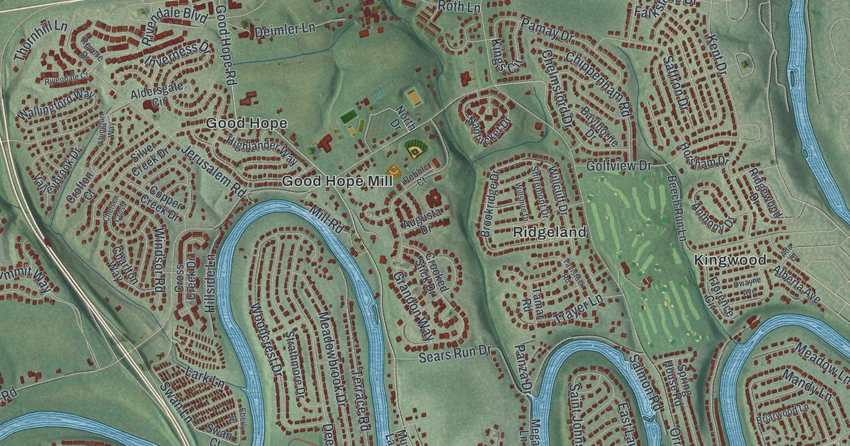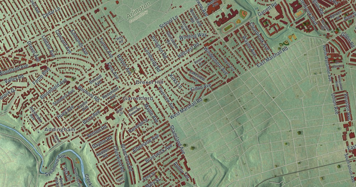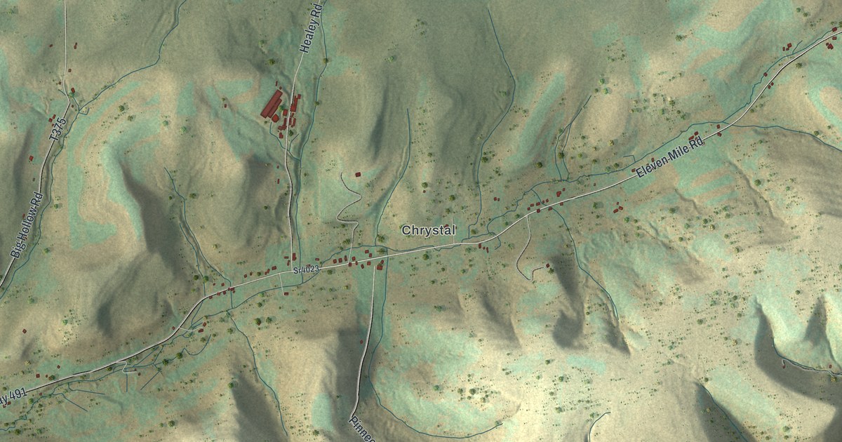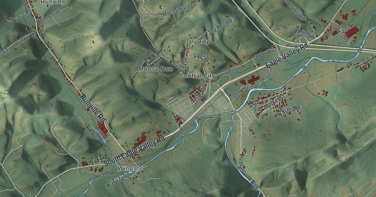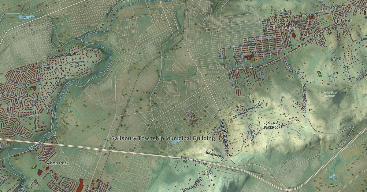
If you grew up in Salisbury Township, live off Lehigh Street, or have family near Dorneyville or Alton Park, this map gives you plenty to find. It's a modern aerial view of Salisbury Township in Lehigh County, Pennsylvania, made from modern data and finished with a vintage look. Soft green hills fill the sheet, and a blue river bends across the top. The neighborhoods stand out in deep red, from Dorneyville and Alton Park on the left to the streets around Gauff Hill on the right. A long shaded ridge runs through South Mountain Preserve near the bottom.
How Salisbury got its name in 1753
On this map you'll find Lehigh Street, South Cedar Crest Boulevard, Broadway, Seidersville Road, East Emaus Avenue, Lindberg Avenue, Devonshire Road, Fish Hatchery Road, Black River Road, Salisbury Township Municipal Building, Lehigh Mountain Park, South Mountain Preserve, Black River Sanctuary, Dorneyville, Alton Park, Gauff Hill, and more. Each red shape is a building, so zoom in on the preview and look for yours.
Salisbury Township is older than Lehigh County. In the spring of 1753, settlers along the Lehigh River asked the Northampton County court to make them a township. Back then the river was called the West branch of the Delaware. The 1914 History of Lehigh County prints the court's answer from June 9, 1753. It allowed a township eight miles long and three miles wide, with the river on one side and Upper Saucon, Upper Milford, Macungie and Whitehall on the other, "to be called Salisburg." The land papers used the English spelling, Salisbury, most likely after Salisbury in England. The German settlers who lived here said it their own way, "Saltzburg," and spelled it that way too. Old papers still show both spellings.
The 1741 log church on the Little Lehigh
Nearly everyone here was Lutheran or Reformed, and the two groups shared their churches. The first one went up in 1741 on the banks of the Little Lehigh, in the western end of the township. The history says it was built of logs, with a stone-covered floor, hewn logs for pews and no stove at all. A second shared church followed in 1759 in the eastern end. The same book describes the township as sloping down from Lehigh Mountain on its south side to the Lehigh River. You can see that slope on this print. The shaded ridge runs through South Mountain Preserve across the lower half of the sheet, and the river bends along the top, with Lehigh Mountain Park printed just below it.
Many family names from the church's baptism book, written before 1800, are still around the Lehigh Valley: Biery, Kemmerer, Knauss, Helfrich, Flexer and Glick. Two of those names are printed on this map. Flexer Avenue and Glick Avenue both meet Lindberg Avenue near Dorneyville.
For someone who knows Lehigh Street and South Mountain Preserve
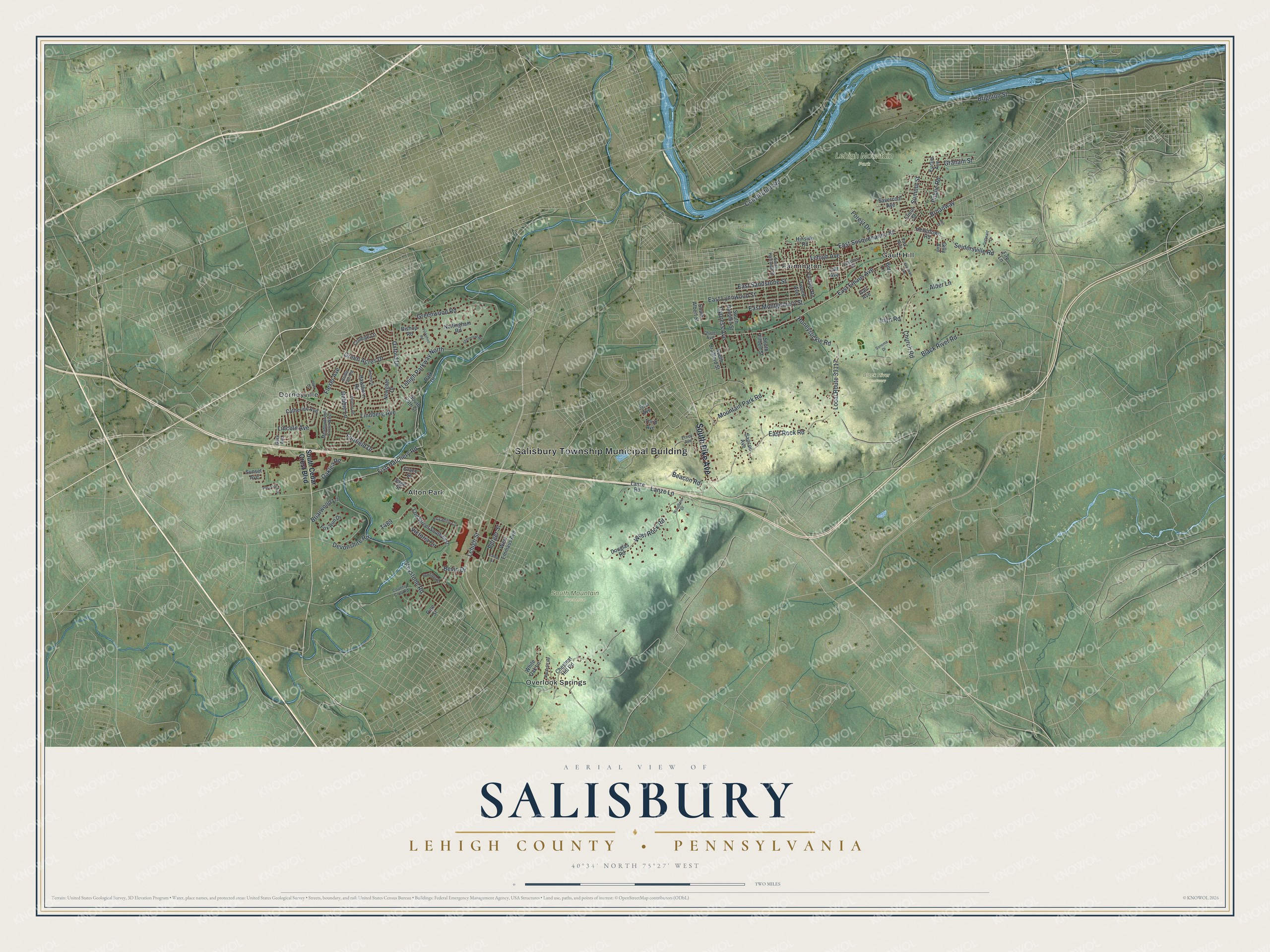
Created by KNOWOL in 2026, this Salisbury map suits a home office, a den or a kitchen wall. The hills are shaded from USGS elevation data, the waterways are blue, and the buildings are drawn in deep red. The title panel reads "Aerial View of Salisbury, Lehigh County, Pennsylvania" with the coordinates 40°34' North, 75°27' West and a two-mile scale bar.
It's a thoughtful gift for someone who grew up near Alton Park or Dorneyville, hiked South Mountain Preserve, or moved away from a street off Lehigh Street. Open the preview, zoom in and find the road you know. See sizes and frames for the Salisbury, Lehigh County map.