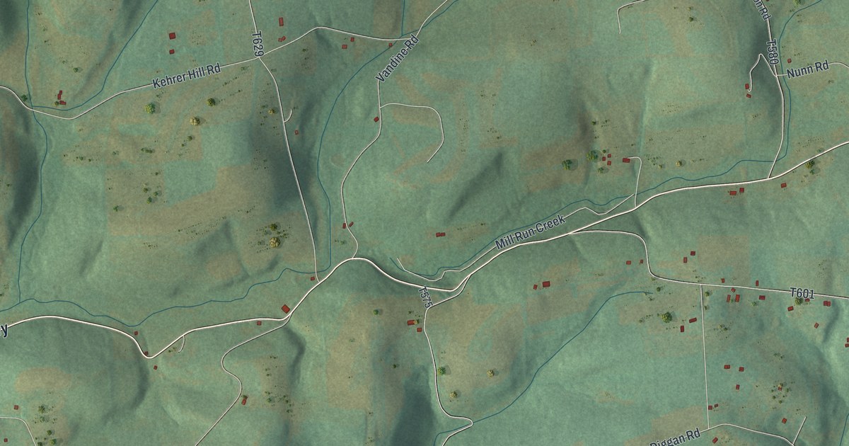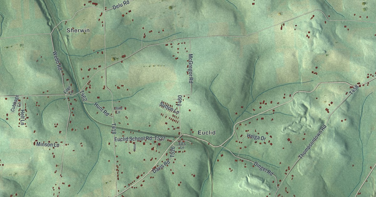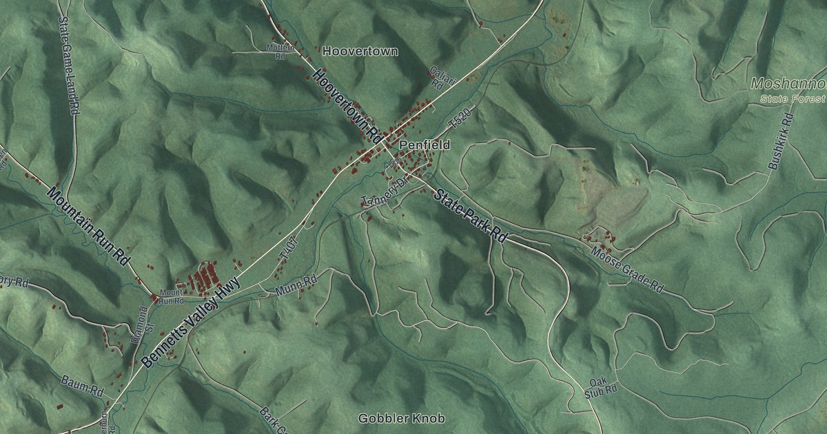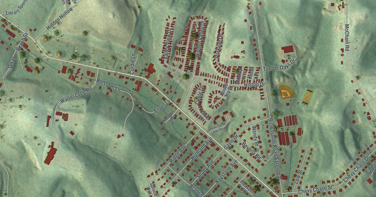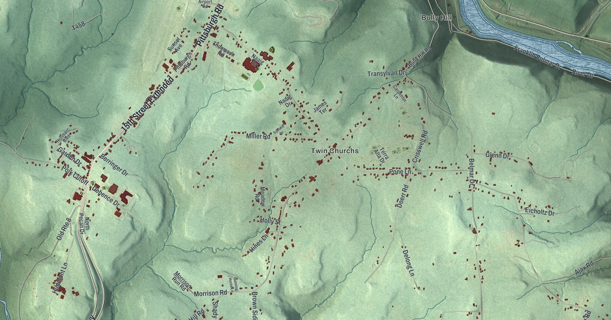
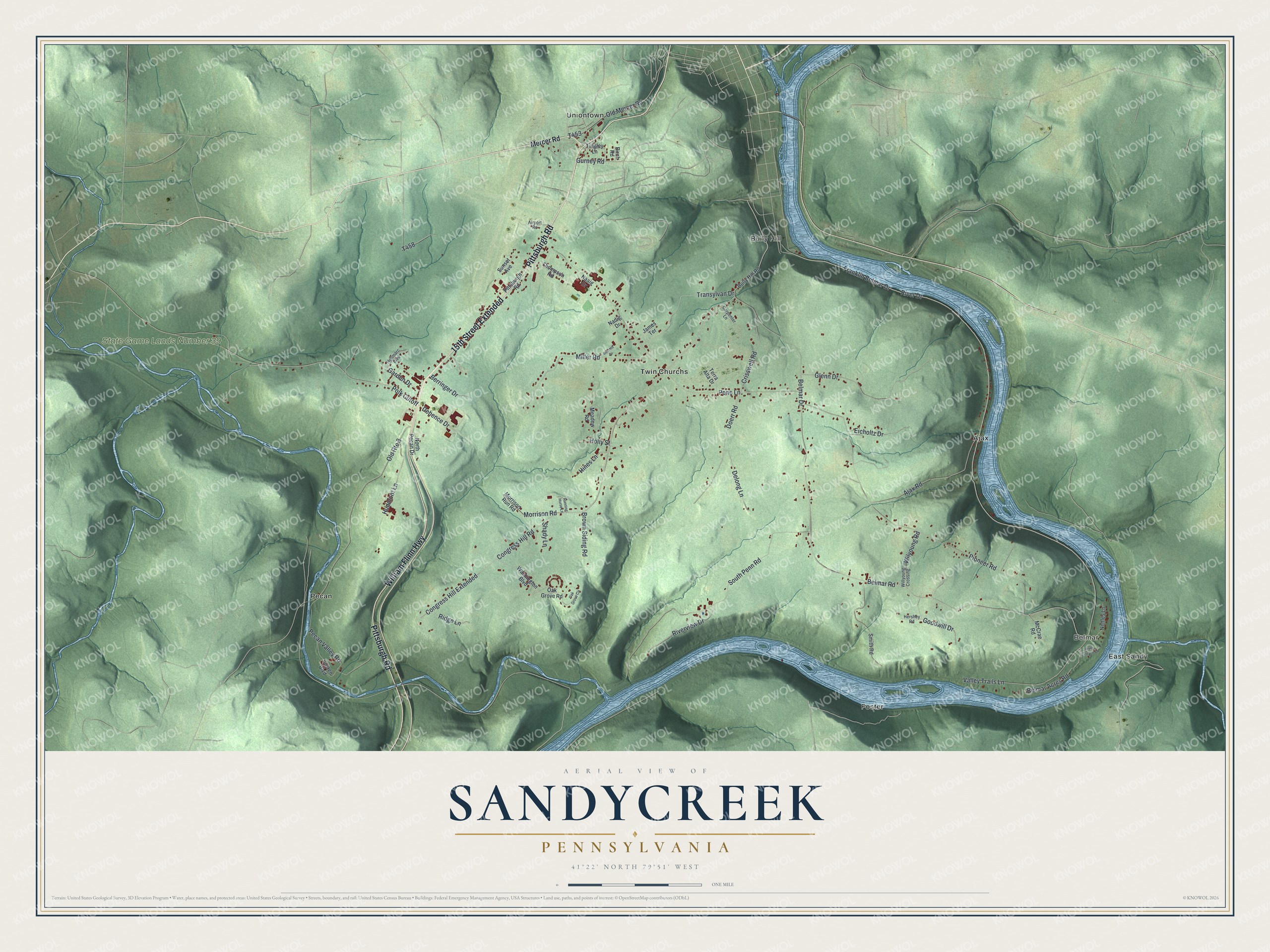
This beautifully detailed map of Sandycreek, Pennsylvania was created in 2026 using aerial imagery combined with modern topographical, census, street and landmark data. It’s a one-of-a-kind view of Sandycreek that combines accurate data with a vintage aesthetic. The map shows every building in its true location, many of the roads carry their names, and the shaded topographic relief shows the shape of the land.
Explore an aerial view of Sandycreek, Pennsylvania
On the map you’ll find Belmar, State Game Lands Number 39, Ajax, Bully Hill, East Sandy, Foster, Pecan, Twin Churchs, Uniontown, and 15th Street Extended, along with Pittsburgh Road, William Flinn Highway, and more. If you look closely you can even find your house accurately drawn in its correct location. Zoom in on the preview to look for yours.
Did you know this piece of Sandycreek, Pennsylvania history?
Sandycreek Township’s Bully Hill was named by Aaron McKissick, a former ship carpenter from Maine. In the early 1820s he built a hotel beside the old road to Pittsburgh and hosted travelers there for nearly 20 years. Bully Hill is a fairly fertile farming district partly wrapped by a great bend in the Allegheny River. That’s from the 1890 History of Venango County, Pennsylvania.
Take a closer look at the Sandycreek map
Street and place names on the Sandycreek, Pennsylvania map
These names are printed on the map of Sandycreek, Pennsylvania.
Places: Belmar, State Game Lands Number 39, Ajax, Bully Hill, East Sandy, Foster, Pecan, Twin Churchs and Uniontown.
Streets and roads: 15th Street Extended, Pittsburgh Road, William Flinn Highway, Transylvan Drive, Congress Hill Road, Franklin Belmar Drive, Polk Cutoff, River Drive, Doerr Road, Belmar Drive, Belmar Road, Pioneer Road.
More street names, A to Z
Airport Road, Ajax Road, Belmar Acres Road, Berringer Drive, Birch Road, Brown Siding Road, Bully Hill Road, Carpenter Lane, Congress Hill Extended, Crisswell Road, Debence Drive, Delong Lane, Eicholtz Drive, Garden Drive, Glenn Drive, Goodwill Drive, Gurney Road, Hershey Road, Hines Lane, Hollmarc Boulevard, Holly Street, Hudmont Lane, James Terrace, McCrae Road, Meadow Road, Mercer Road, Miller Road, Morrison Road, Morrison Run Road, Naaig Drive, Nadig Drive, Nettles Lane, North Pecan Drive, Oak Grove Circle, Oak Grove Road, Old Mercer Road, Old Route 8, Pecan Valley Road, Pone Lane, Ridge Lane, River Terrace Lane, Riverview Drive, Running Horse Lane, Shady Lane, Smith Road, South Penn Road, Summit Drive, Sunset Avenue, Terra Alta Drive, Thompson Road, Tingley Lane, Valley Trails Lane, Voyten Boulevard, Washington Boulevard, Willyoung Crossing, Wilyoung Road.
See the Sandycreek, Pennsylvania map on a wall
The Sandycreek map as an 18 x 24 inch print in a black frame.

This beautifully detailed map of Sandycreek makes an attractive addition to your office, library, or den, and it can even be used to teach children the geography and history of the area. It also makes a great gift for anyone who grew up in Sandycreek or moved away. When you’re done exploring, click here to get your copy of the Sandycreek map.