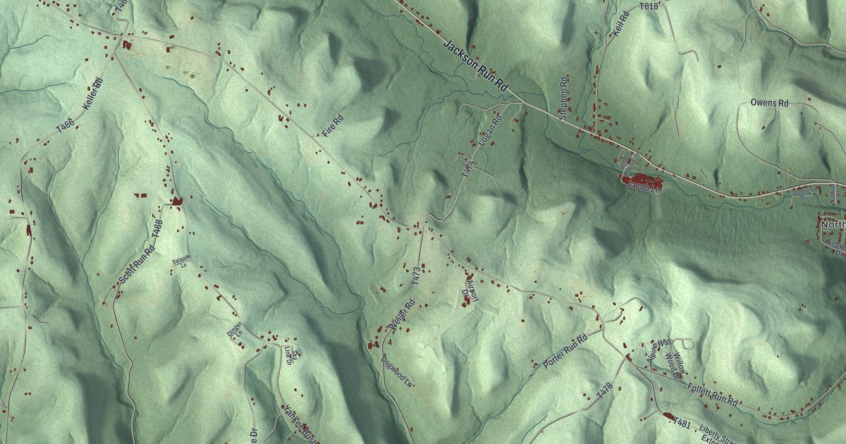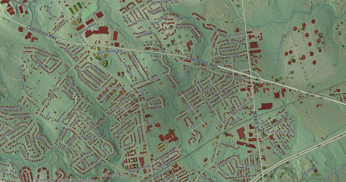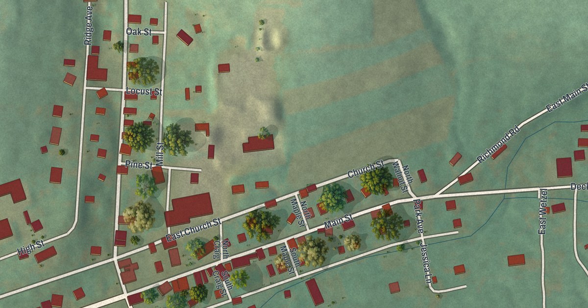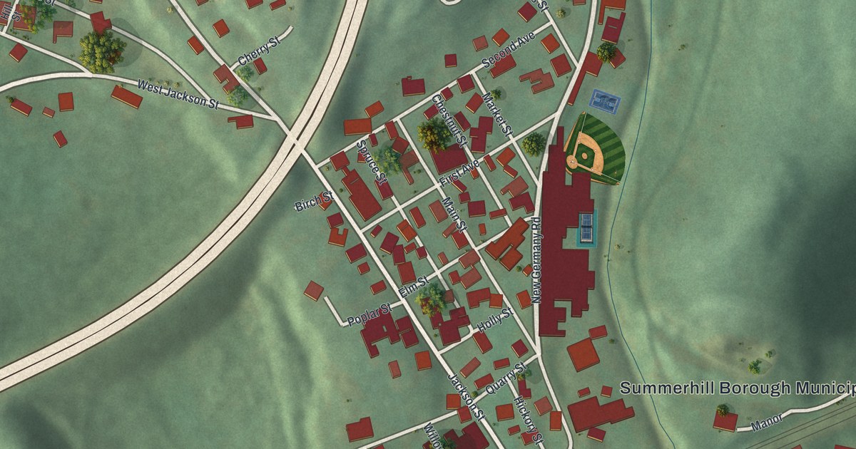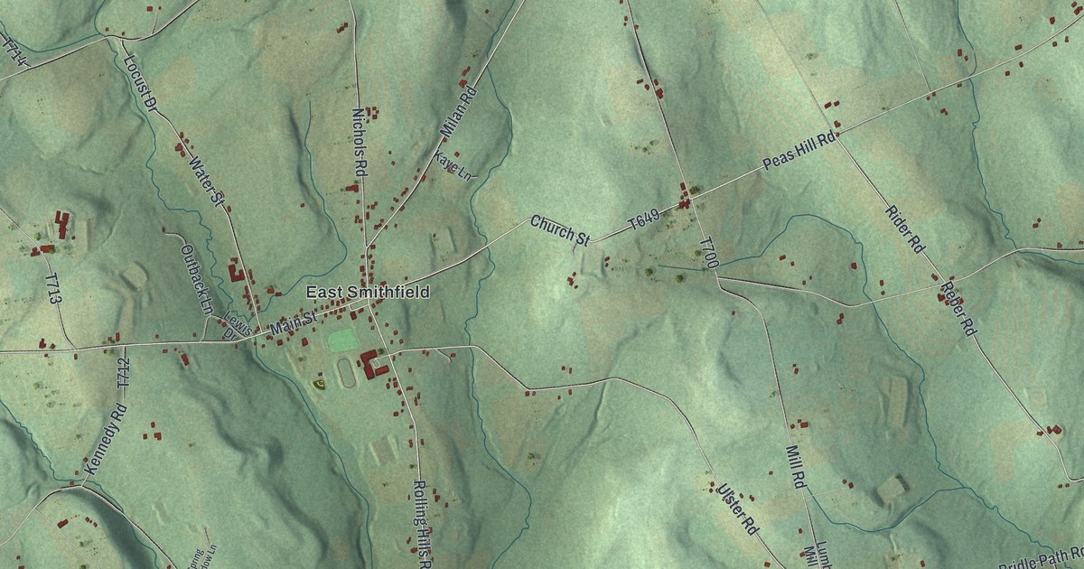
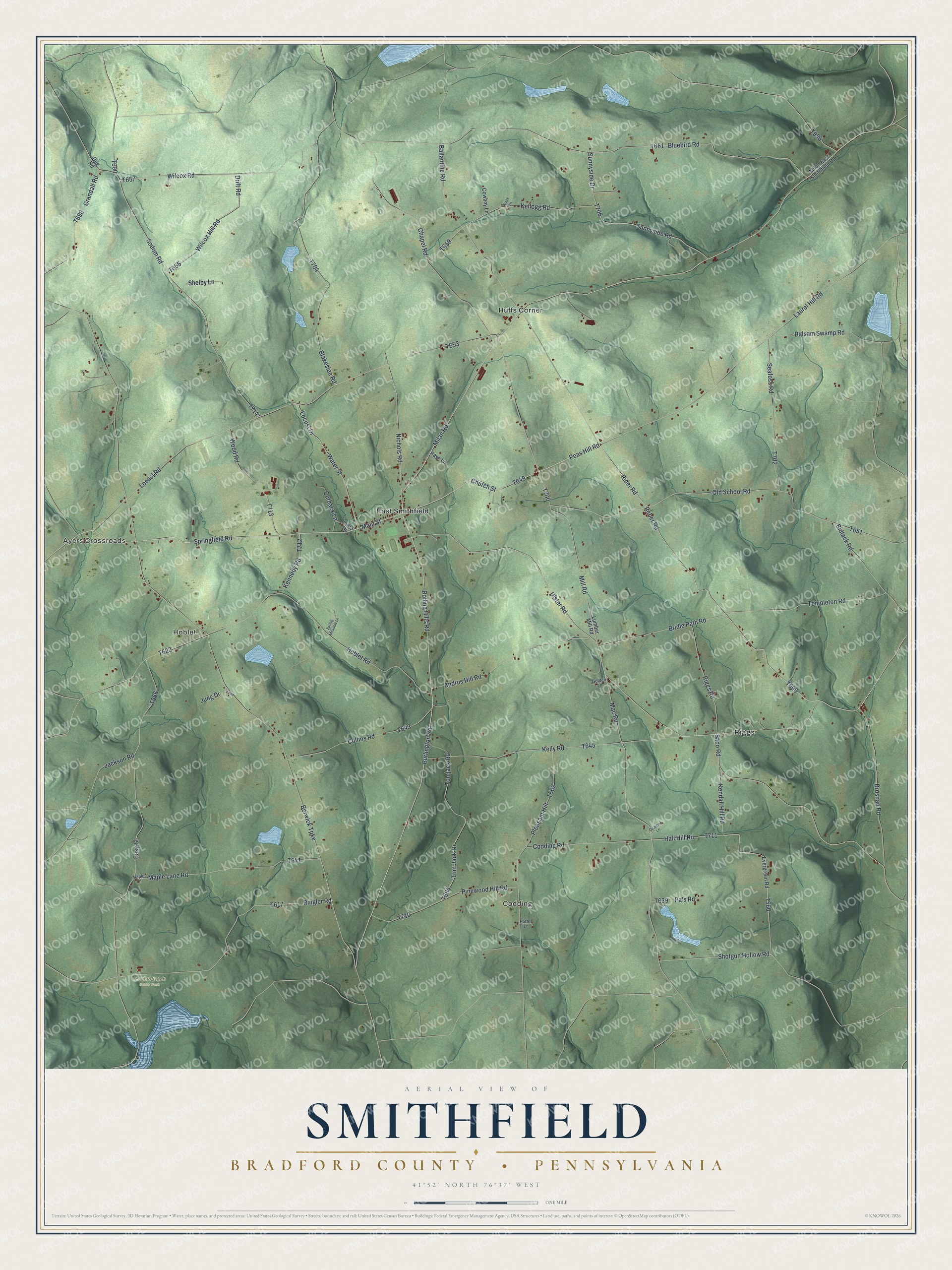
This beautifully detailed map of Smithfield, Bradford County, Pennsylvania was created in 2026 using aerial imagery combined with modern topographical, census, street and landmark data. It's a modern aerial view of Smithfield, Bradford County in Bradford County, Pennsylvania, that combines modern data with a vintage aesthetic. The roads feature printed names, and if you look closely you can find your exact house accurately shown in its correct location.
Explore an aerial view of Smithfield, Bradford County, Pennsylvania
On this map you'll find Ayers Crossroads, Codding, Riggs, Hoblet, Mount Pisgah State Park, East Smithfield, Huffs Corner, Burlington Road, T649, Peas Hill Road, Church Street, T696, and more. Each red shape is a building, so zoom in on the preview and look for yours.
Here is a piece of Smithfield, Bradford County history, in the words of the record. The LivingPlaces puts it this way: "The Township was named after David Smith who purchased the property from the Connecticut Title, yet never lived there. In 1792, Isaiah Grover was the first settler in Smithfield."
Smithfield, Bradford County is a place in Bradford County. The Census Bureau counted 1,457 people here in 2020.
Take a closer look at the Smithfield, Bradford County map
Names on this map
These names are printed on this map.
Places: Ayers Crossroads, Codding, Riggs, Hoblet, Mount Pisgah State Park, East Smithfield and Huffs Corner.
Streets and roads: Burlington Road, Peas Hill Road, Church Street, Rider Road, Reber Road, Springfield Road, Milan Road, Ulster Road, Main Street, Locust Road, Water Street, Old School Road.
More street names, A to Z
Andrus Hill Road, Ballantine Road, Balsam Swamp Road, Berwick Turnpike, Bidlack Road, Blakeslee Road, Blaze Lane, Bluebird Road, Bridle Path Road, Brosnan Road, Chapel Road, Codding Road, Collins Road, Cowboy Lane, Crandall Road, Drift Road, Dug Road, Easy Street, Evergreen Road, Golden Lane, Hall Hill Road, Hoblet Road, Jackson Road, Jung Drive, Kaye Lane, Kellogg Road, Kelly Road, Kendall Hill Road, Kennedy Road, Laurel Hill Road, Lewis Drive, Locust Drive, Lumber Mill Road, Mac Road, Maple Lane, Maple Lane Road, Milan East Smithfield Road, Mill Road, Nichols Road, Opalenik Lane, Outback Lane, Pa's Road, Pinewood Hill Road, Pleasant Hill, Potter Lane, Riggs Road, Ringler Road, Rolling Hills Road, Saco Road, Seafoss Road, Shelby Lane, Shotgun Hollow Road, Sodom Road, Spring Meadow Lane, Sunnyside Drive, Sunnyside Road, Templeton Road, Tom Jack Drive, Tomjack Road, Wilcox Hill Road, Wilcox Road, Wood Road.
Created by KNOWOL in 2026. The buildings are small red shapes, the roads carry their printed names, and shaded relief shows the shape of the land. The title panel reads "AERIAL VIEW OF SMITHFIELD BRADFORD COUNTY • PENNSYLVANIA" with 4, 1, °, 5, 2, ', , N, O, R, T, H, , 7, 6, °, 3, 7, ', , W, E, S, T.
It suits a den, a classroom or a front hall, and it makes a gift for anyone with Smithfield, Bradford County roots. Open the preview and find the block you know. See sizes and frames for the Smithfield, Bradford County map.