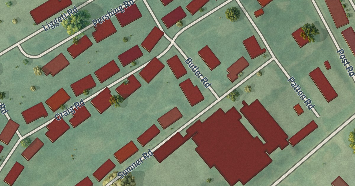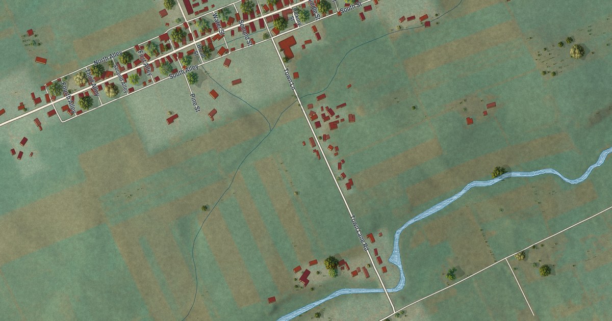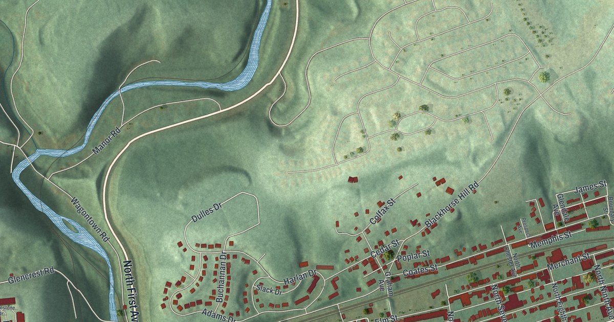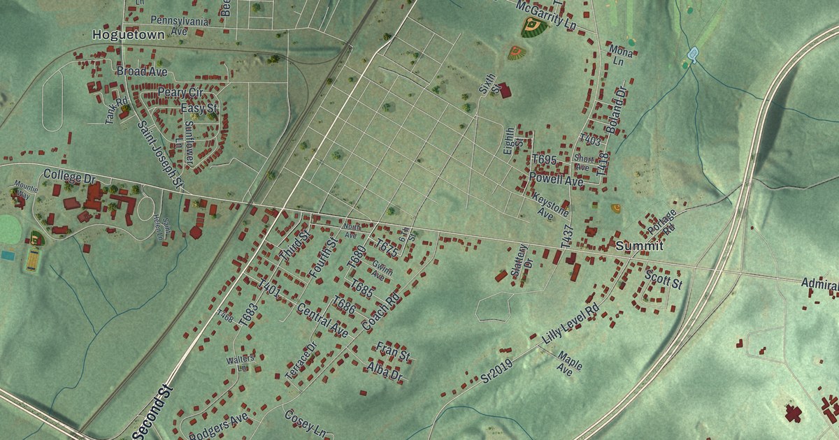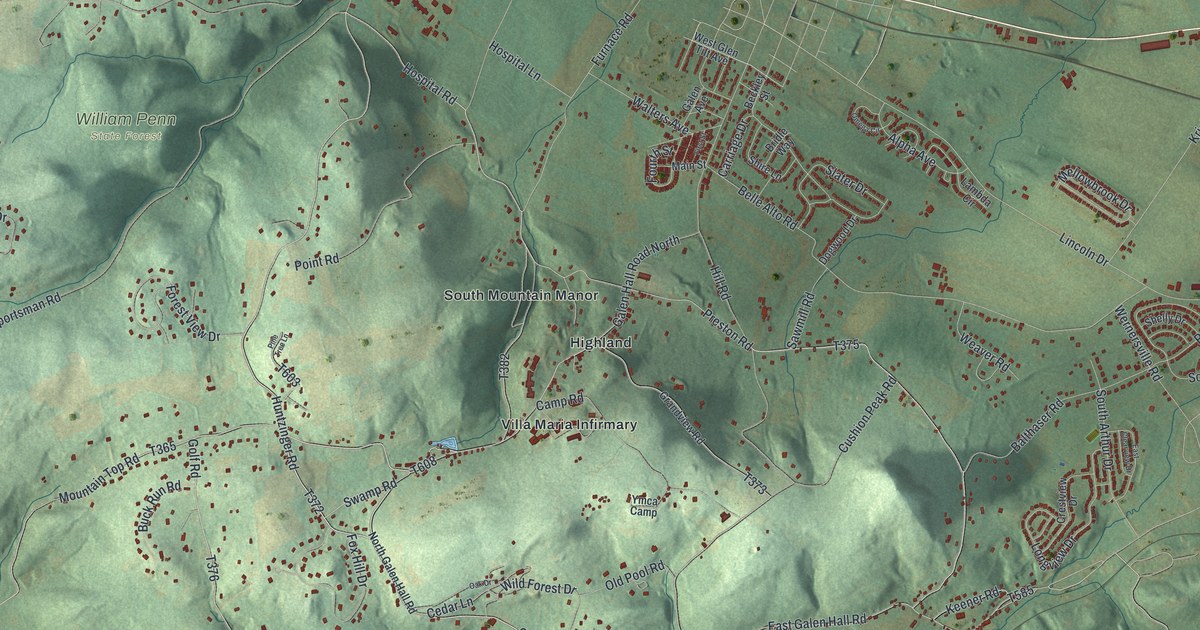
This beautifully detailed map of South Heidelberg, Pennsylvania was created in 2026 using aerial imagery combined with modern topographical, census, street and landmark data. It’s a one-of-a-kind view of South Heidelberg that combines accurate data with a vintage aesthetic. The map shows every building in its true location, many of the roads carry their names, and the shaded topographic relief shows the shape of the land.
Explore an aerial view of South Heidelberg, Pennsylvania
On the map you’ll find South Heidelberg Township Municipal Building, William Penn State Forest, Fritztown, Highland, South Mountain Manor, Villa Maria Infirmary, and Vinemont, along with Penn Avenue, West Penn Avenue, Huntzinger Road, Hospital Road, and more. If you look closely you can even find your house accurately drawn in its correct location. Zoom in on the preview to look for yours.
Did you know this piece of South Heidelberg, Pennsylvania history?
From the Reading Eagle: "Famous South Heidelberg landmarks, including the Berkshire Furnace and the Glen Tilt mansion, were erected before the township’s incorporation. The furnace was built in the 1750s by iron master William Bird and operated until 1791."
Take a closer look at the South Heidelberg map
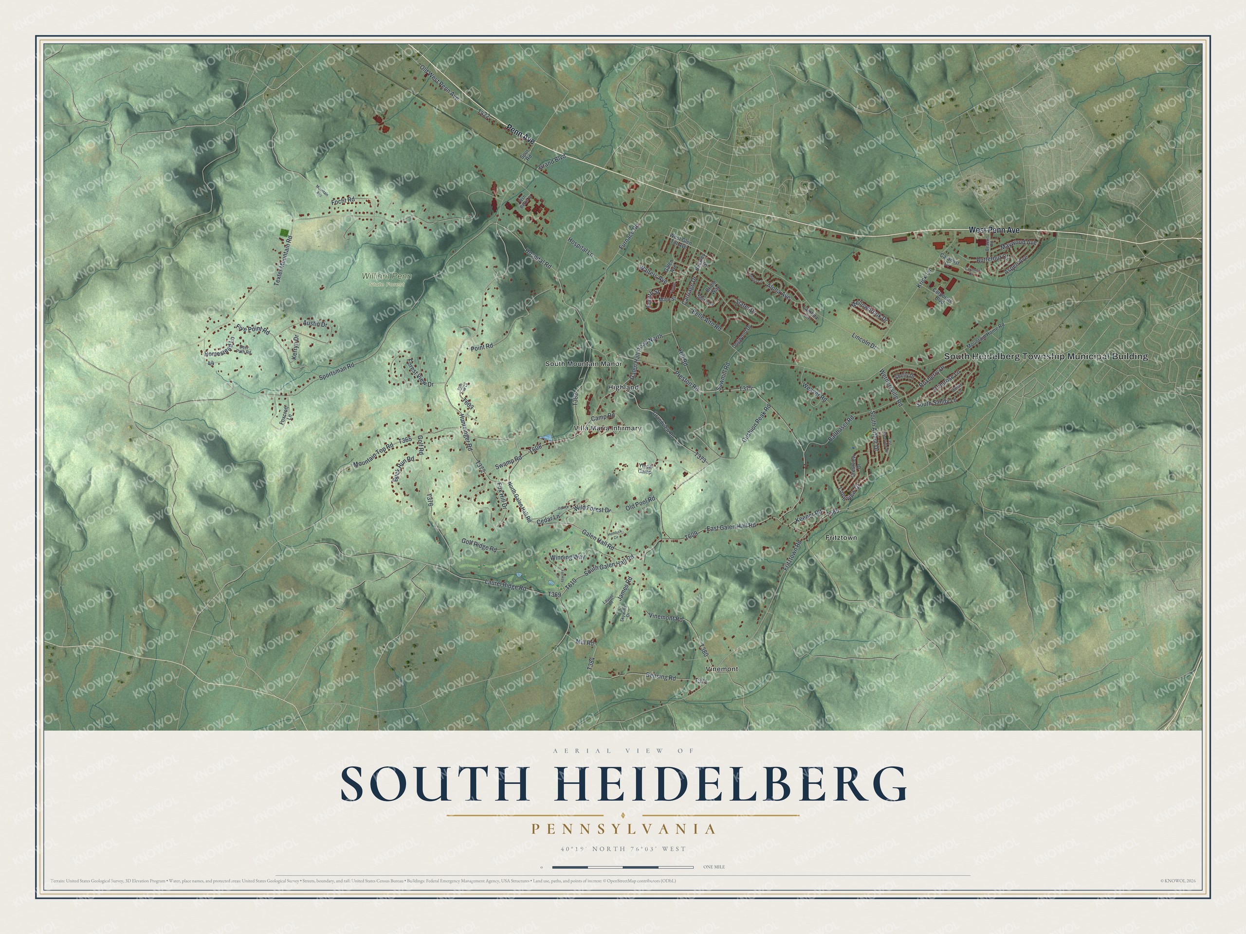
Street and place names on the South Heidelberg, Pennsylvania map
These names are printed on the map of South Heidelberg, Pennsylvania.
Places: South Heidelberg Township Municipal Building, William Penn State Forest, Fritztown, Highland, South Mountain Manor, Villa Maria Infirmary and Vinemont.
Streets and roads: Penn Avenue, West Penn Avenue, Huntzinger Road, Hospital Road, Galen Hall Road, Mountain Top Road, Preston Road, South Galen Hall Road, Cedar Lane, Fritztown Road, Golf Road, Sportsman Road.
More street names, A to Z
Alpha Avenue, Aspen Avenue, Austin Drive, Balthaser Road, Beacon Road, Beckley Street, Belle Alto Road, Bensing Road, Bridle Way, Buck Run Road, Butternut Court, Camp Road, Caramist Circle, Caramist Drive, Carriage Drive, Corporate Boulevard, Crestview Drive, Cushion Peak Road, Dallas Lane, Deer Path Road, Dogwood Drive, East Clearview Drive, East Galen Hall Road, Fairway Drive, First Street, Five Point Road, Focht Road, Forest View Drive, Fourth Street, Foxcroft Lane, Fox Hill Drive, Furnace Road, Galen Avenue, Galen Hall Road North, Golf Ridge Road, Grand Boulevard, Grandview Road, Hemlock Circle, Hill Road, Homestead Lane, Hospital Lane, James Road, Keener Road, Kerryn Drive, Krick Lane, Lambda Circle, Laurel Lane, Laurel Ridge Road, Lincoln Drive, Longview Drive, Main Street, Maywood Avenue, Mellowbrook Drive, Mill Road, Mountain Avenue, Mountain Home Road, North Galen Hall Road, Oak Drive, Old Pool Road, Old West Penn Avenue, Omega Circle, Pine Tree Lane, Point Road, Primrose Lane, Roxberry Drive, Sawmill Road, Shelly Drive, Shire Lane, Skywind Drive, Slater Drive, South Arthur Drive, South Sandy Lane, Spur Road, Swamp Road, Texter Mountain Road, Vinemont Road, Walters Avenue, Weaver Road, Wernersville Road, West Glen Tilt Avenue, Wild Forest Drive, Winding Way, Wsh Berks Place, Ymca Camp.
See the South Heidelberg, Pennsylvania map on a wall
The South Heidelberg map as an 18 x 24 inch print in a black frame.

This beautifully detailed map of South Heidelberg makes an attractive addition to your office, library, or den, and it can even be used to teach children the geography and history of the area. It also makes a great gift for anyone who grew up in South Heidelberg or moved away. When you’re done exploring, click here to get your copy of the South Heidelberg map.