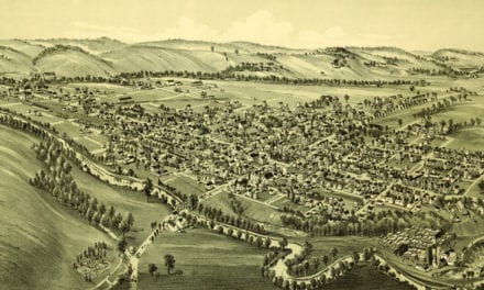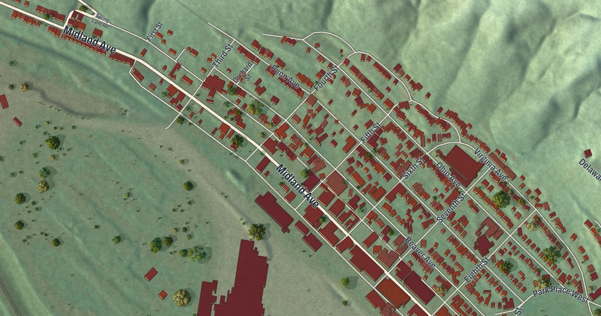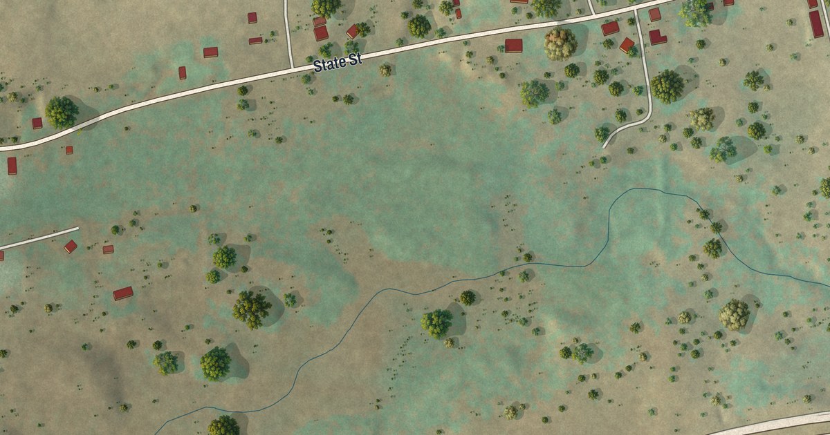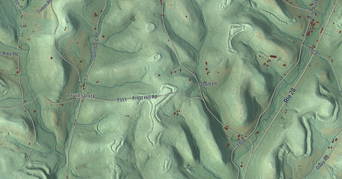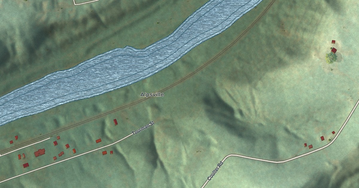
This beautifully detailed map of South Versailles, Pennsylvania was created in 2026 using aerial imagery combined with modern topographical, census, street and landmark data. It's a modern aerial view of South Versailles in Allegheny County, Pennsylvania, that combines modern data with a vintage aesthetic. The roads feature printed names, and if you look closely you can find your exact house accurately shown in its correct location.
Explore an aerial view of South Versailles, Pennsylvania
On this map you'll find Alpsville, Coulter, Coulter Road, Horseshoe Drive, First Street, Railroad Street Rear, Railroad Street, Tourman Street, Harris Street, Cherry Street, School Street, Second Street, and more. Each red shape is a building, so zoom in on the preview and look for yours.
South Versailles has a story worth telling. The Pennsylvania Historical and Museum Commission puts it this way: "Prominent Western Pennsylvania civic and sports leader and owner of the Pittsburgh Steelers, 1933-1988. With his guidance the Steelers won four 1970s Super Bowls. An accomplished athlete, Rooney was influential in the National Football League and was inducted into the National Football Hall of Fame, 1964. His family emigrated from Ireland in the 19th century; resided in Coulter where he was born until moving to Pittsburgh. He returned here often."
South Versailles is a place in Allegheny County. The Census Bureau counted 310 people here in 2020.
Take a closer look at the South Versailles map
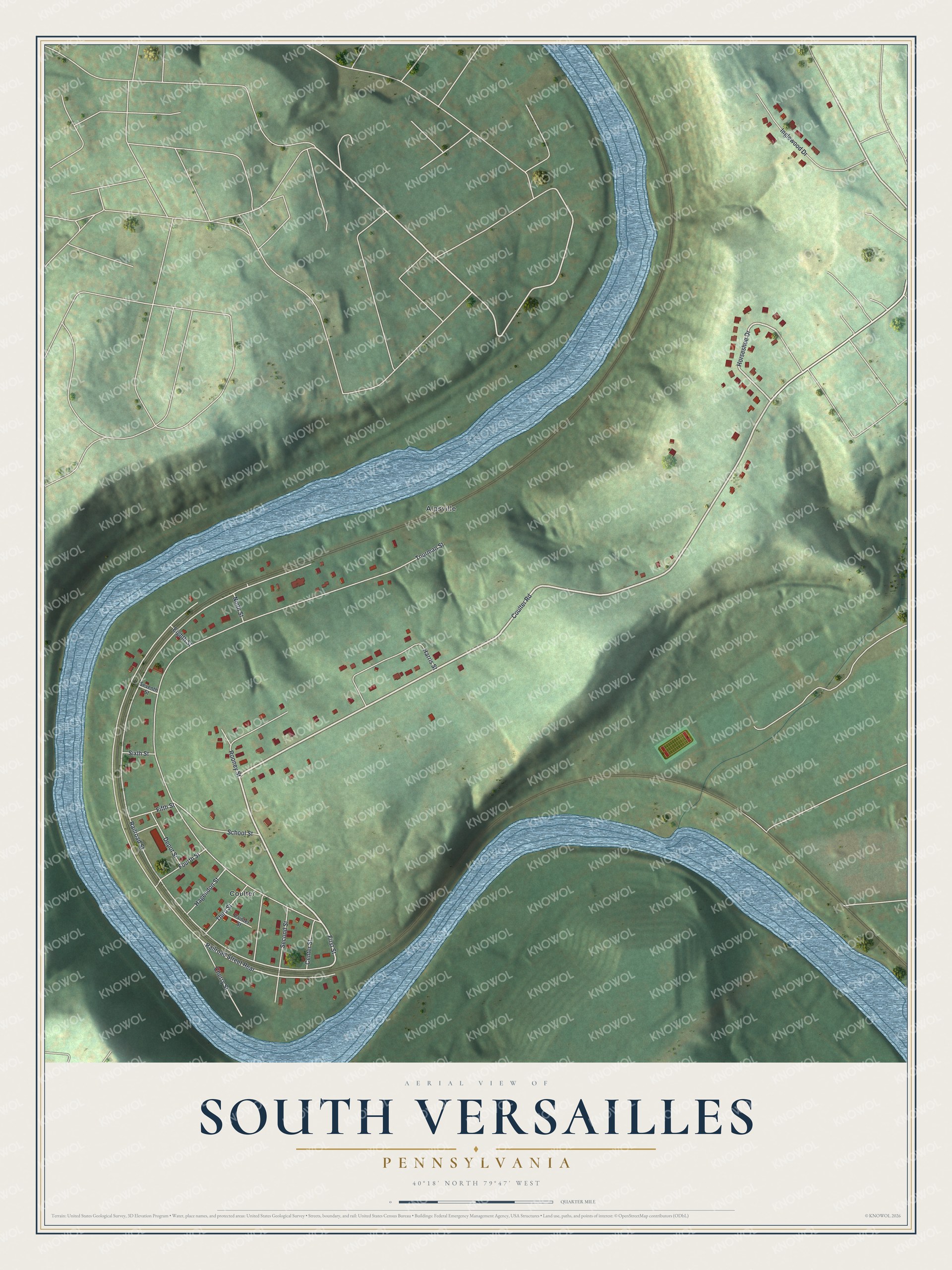
Created by KNOWOL in 2026. The buildings are small red shapes, the roads carry their printed names, and shaded relief shows the shape of the land. The title panel reads "AERIAL VIEW OF SOUTH VERSAILLES PENNSYLVANIA" with 4, 0, °, 1, 8, ', , N, O, R, T, H, , 7, 9, °, 4, 7, ', , W, E, S, T.
It looks right in a kitchen, an office or a den, and it's a gift for anyone who grew up in South Versailles or moved away. Open the preview and find your street. See sizes and frames for the South Versailles map.