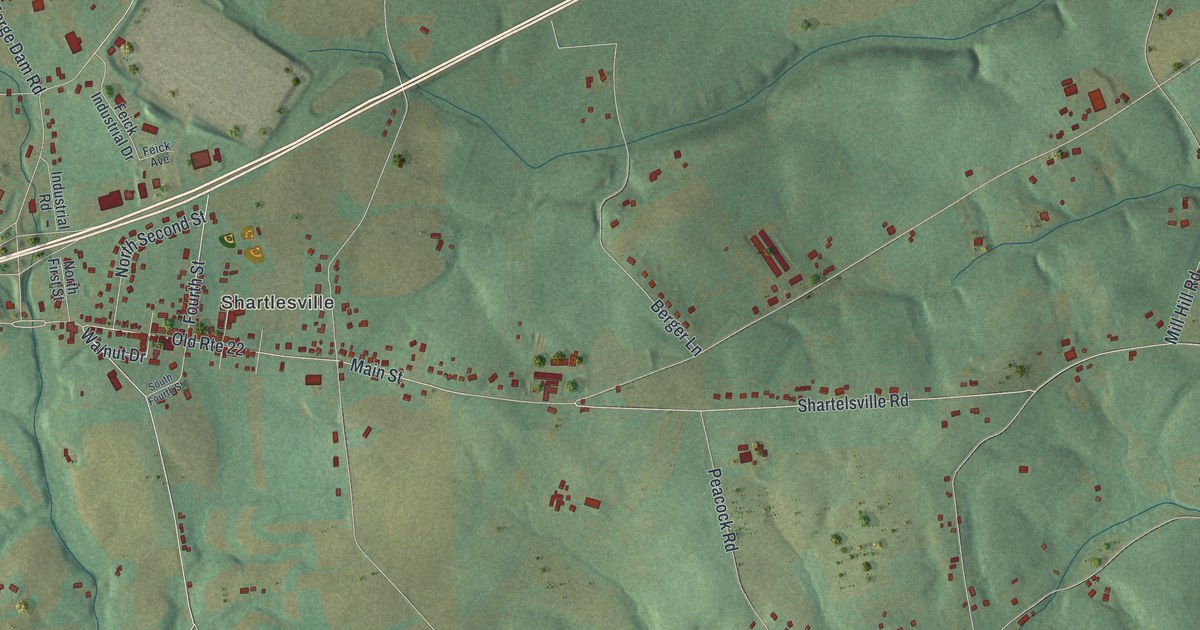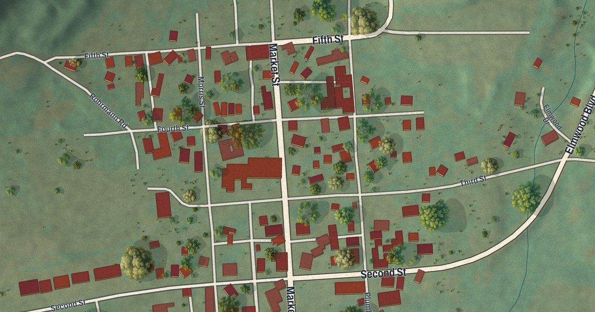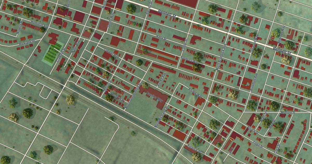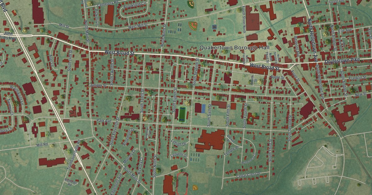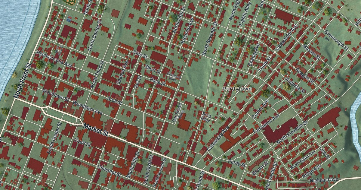
If you grew up in Sunbury, look for your old block on this print. It's a modern aerial view of Sunbury in Northumberland County, Pennsylvania, made with modern data and a vintage feel. Red buildings fill the street grid beside a wide blue river. Green hills rise beyond the tightly packed blocks.
Sunbury's electric lights in 1883
On this map you'll find Market Street, North Front Street, South Front Street, Memorial Park, Caketown, Purdytown, Vine Street, Edison Avenue, Chestnut Street, Catawissa Avenue, Memorial Drive, and more. Each red shape is a building, so zoom in on the preview and look for yours.
Sunbury had a place in electric lighting history on July 4, 1883. The First Three-Wire Electric Lighting marker records the first successful use of that system. It happened in Sunbury's City Hotel building, with Thomas A. Edison directing the work. The Edison Electric Illuminating Co. plant stood at Fourth and Vine streets. Find Vine Street on the print to connect that story with today's town. Edison Avenue is printed on the map too, so you can find both names on the same print.
Sunbury's streets on your wall
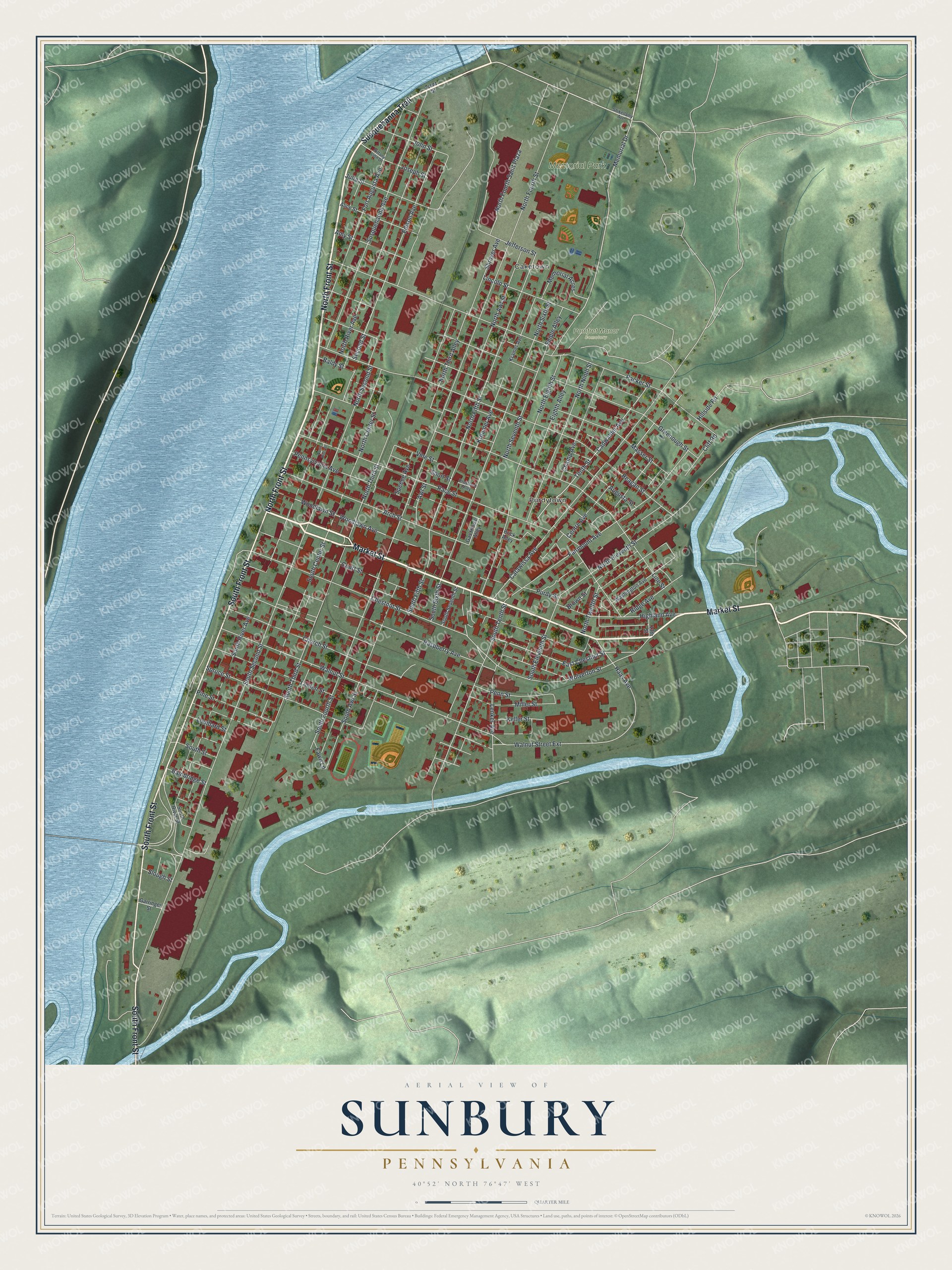
Created by KNOWOL in 2026, the print pairs red buildings with blue water and shaded green hills. A cream border surrounds the view. The title panel reads AERIAL VIEW OF SUNBURY, PENNSYLVANIA, with 40°52' NORTH 76°47' WEST beneath it.
Hang it in a living room, office, or entryway to keep Sunbury close. It's a gift for someone who grew up near Memorial Park or moved away from town. Open the preview and look for the streets you know. See sizes and frames for the Sunbury map.