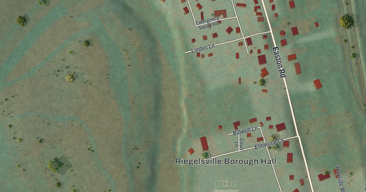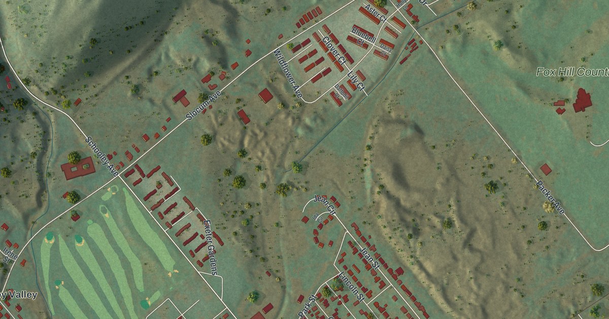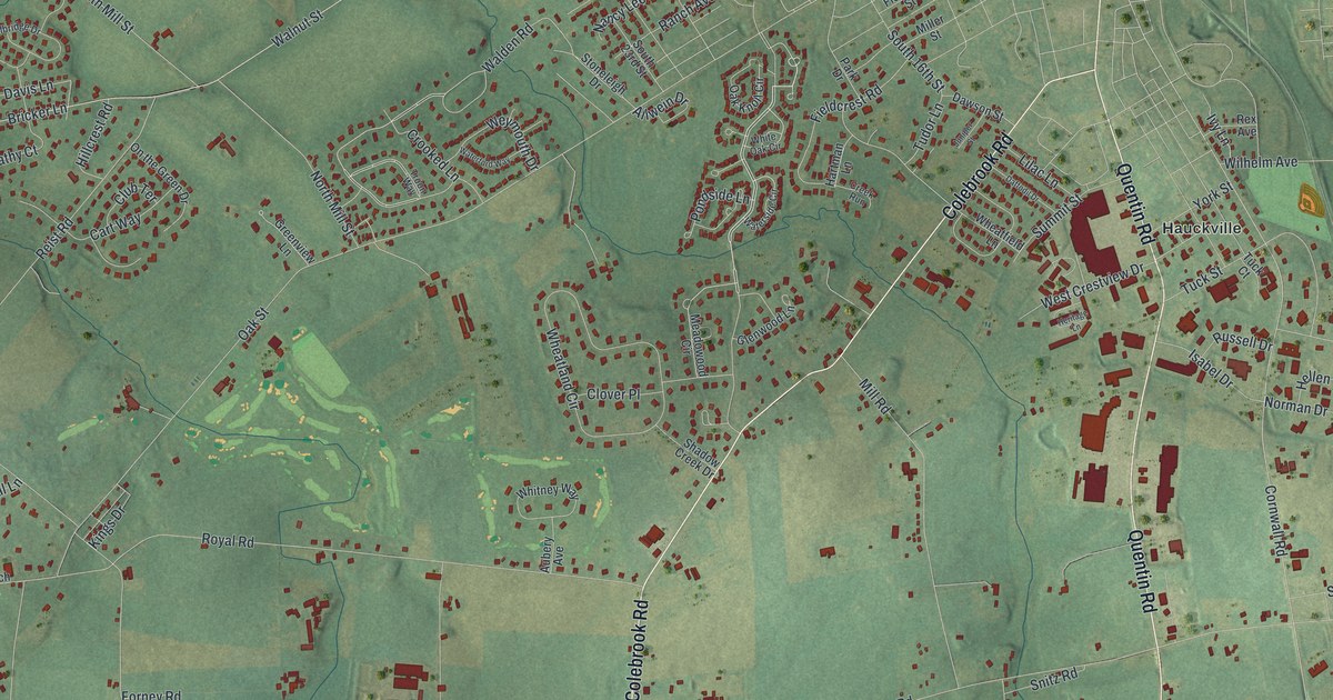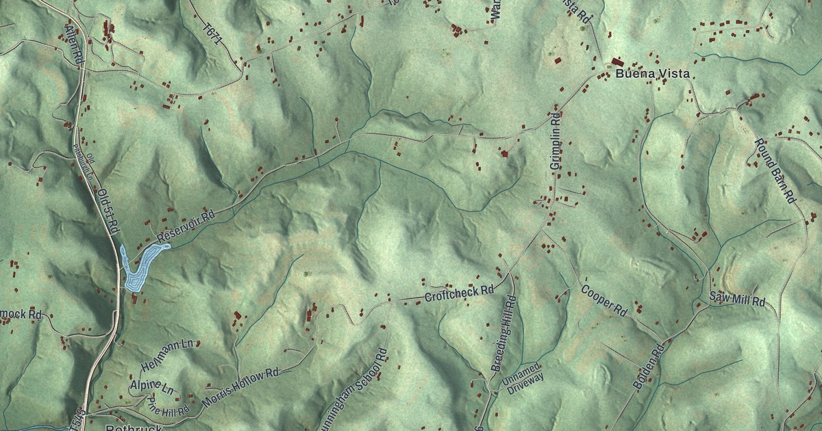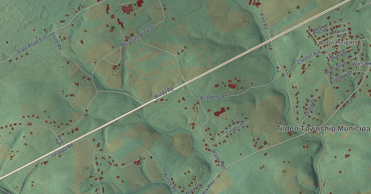
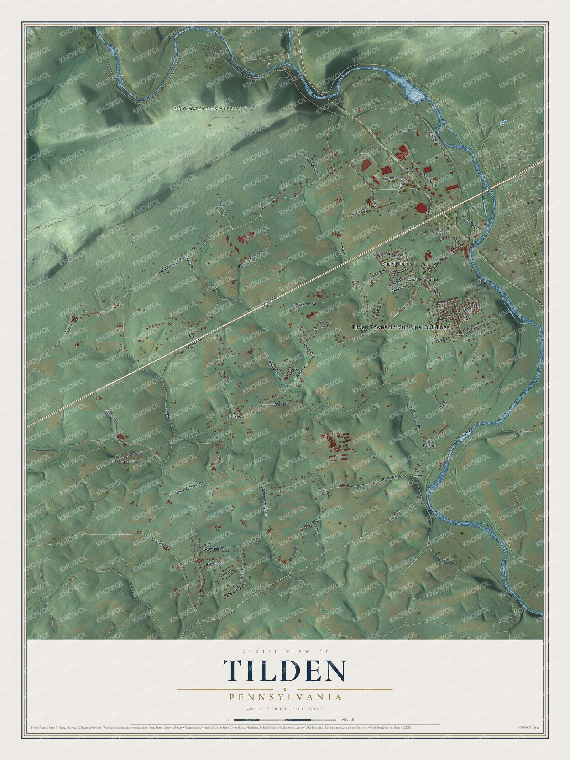
This beautifully detailed map of Tilden, Pennsylvania was created in 2026 using aerial imagery combined with modern topographical, census, street and landmark data. It's a modern aerial view of Tilden in Berks County, Pennsylvania, that combines modern data with a vintage aesthetic. The roads feature printed names, and if you look closely you can find your exact house accurately shown in its correct location.
Explore an aerial view of Tilden, Pennsylvania
On this map you'll find Tilden Township Municipal Building, State Game Lands Number 110, Berne, Jalappa, West Hamburg, Yoder Heights, Oak Street, West State Street, Mountain Road, State Road 810, Hex Highway, Berne Road, and more. Each red shape is a building, so zoom in on the preview and look for yours.
Here is a piece of Tilden history, in the words of the record. The PA Roots puts it this way: "The original St. Michael’s Union Church was erected in 1769 on land given to both the Reformed and Lutheran congregations by Joseph ZOLENBERGER, in then Bern Township, later Upper Bern Township and now Tilden Township."
Tilden is a place in Berks County. The Census Bureau counted 3,603 people here in 2020.
Take a closer look at the Tilden map
Names on this map
These names are printed on this map.
Places: Tilden Township Municipal Building, State Game Lands Number 110, Berne, Jalappa, West Hamburg and Yoder Heights.
Streets and roads: Oak Street, West State Street, Mountain Road, State Road 810, Hex Highway, Berne Road, Hill Drive, Mountain View Drive, Pine Road, Lowland Road, Tilden Road, Fisher Dam Road.
More street names, A to Z
Academy Road, Ash Road, Bachmoll Road, Cabela Drive, Cheese Lane, Cherry Road, Clayton Avenue, Creamery Road, Dale Drive, Delong Road, Diamond Drive, Dogwood Road, Elm Avenue, Erin Way, First Street, Fox Road, Foxwood Drive, Hazel Street, Hill Road, Holly Drive, Holly Road, Industrial Drive, Jalappa Road, Jetson Drive, Laurel Avenue, Lincoln Drive, Linden Drive, Maple Drive, Marion Street, Merry Street, Mill Road, Moonlight Drive, Oak Alley, Old Route 22, Pleasant View Drive, Possum Road, Rainbow Drive, Redwood Court, River Road, Rocktown Road, Ruth Street, Saint Michaels Road, Salem Church Road, Scenic Drive, Shartelsville Road, Sholly Drive, South Street, Stone Road, Swamp Road, Vine Road, Von Zech Way, Walnut Road, Wilderness Trail, Willow Road, Windy Road, Woodland Terrace.
Created by KNOWOL in 2026. The buildings are small red shapes, the roads carry their printed names, and shaded relief shows the shape of the land. The title panel reads "AERIAL VIEW OF TILDEN PENNSYLVANIA" with 4, 0, °, 3, 2, ', , N, O, R, T, H, , 7, 6, °, 0, 1, ', , W, E, S, T.
It suits a den, a classroom or a front hall, and it makes a gift for anyone with Tilden roots. Open the preview and find the block you know. See sizes and frames for the Tilden map.