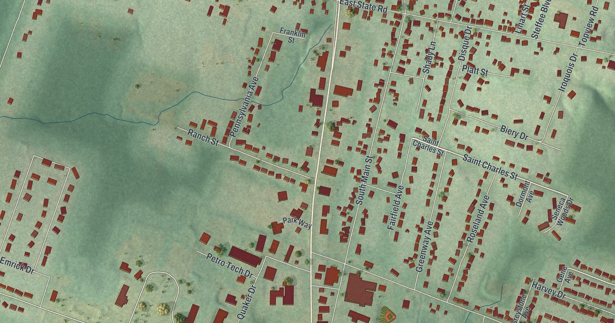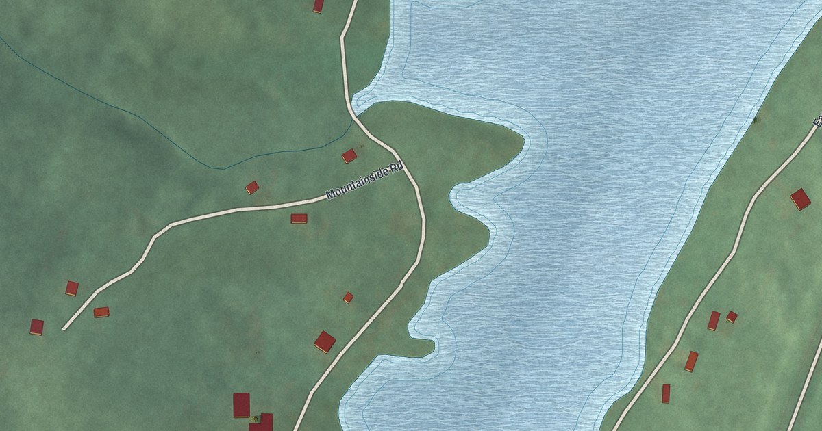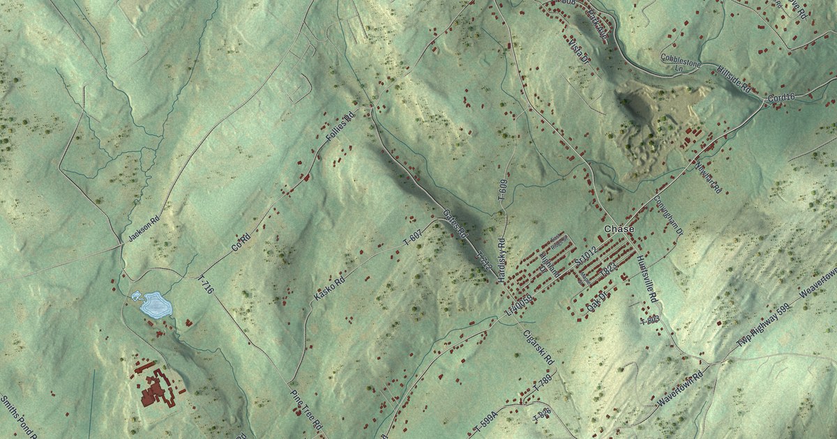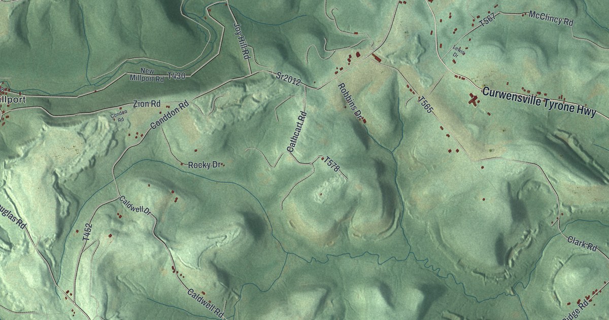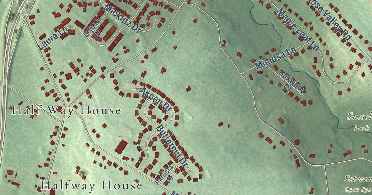
This beautifully detailed map of Upper Pottsgrove, Pennsylvania was created in 2026 using aerial imagery combined with modern topographical, census, street and landmark data. It’s a one-of-a-kind view of Upper Pottsgrove that combines accurate data with a vintage aesthetic. The map shows every building in its true location, many of the roads carry their names, and the shaded topographic relief shows the shape of the land.
Explore an aerial view of Upper Pottsgrove, Pennsylvania
On the map you’ll find Fox Hill Open Space, Hollenbach Park, Prout Farm Park, Schwenk Open Space, Smola Farm Open Space, Sunset Park, Sussell Park, Kulp Field, Cedar Grove, and Half Way House, along with North Charlotte Street, and more. If you look closely you can even find your house accurately drawn in its correct location. Zoom in on the preview to look for yours.
Did you know this piece of Upper Pottsgrove, Pennsylvania history?
From Data.pa.gov: "In ensuing decade he erected Pine Forge and built this mansion; in 19th century it was an Underground Railroad stop."
Take a closer look at the Upper Pottsgrove map
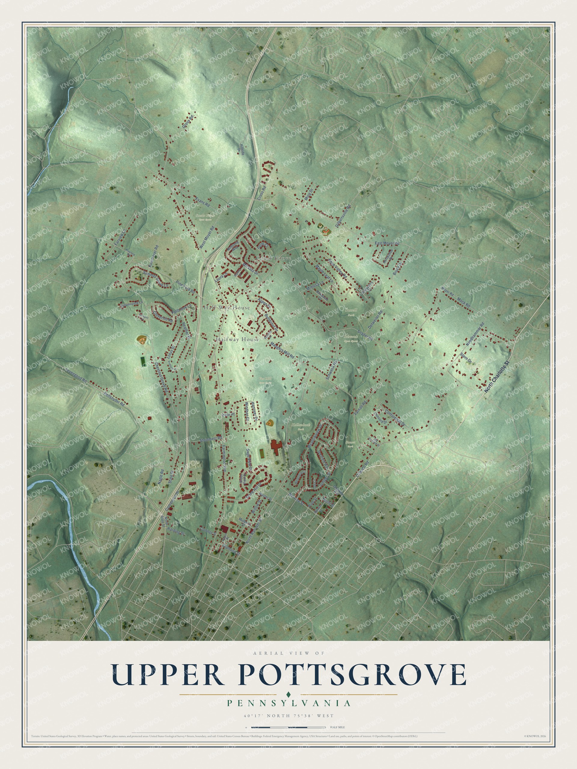
Street and place names on the Upper Pottsgrove, Pennsylvania map
These names are printed on the map of Upper Pottsgrove, Pennsylvania.
Places: Fox Hill Open Space, Hollenbach Park, Schwenk Open Space, Smola Farm Open Space, Sunset Park, Sussell Park, Kulp Field, Half Way House, Cedar Grove and Halfway House.
Streets and roads: North Charlotte Street, Micklitz Drive, Farmington Avenue, Maugers Mill Road, North Hanover Street, State Street, West Moyer Road, Chestnut Grove Road, Orlando Road, Levengood Road, Snyder Road, Reifsnyder Road.
More street names, A to Z
Aspen Drive, Autumnview Lane, Birdsong Way, Boxwood Court, Bruce Drive, Brynne Lane, Butternut Drive, Cloverhill Road, Commerce Drive, Concord Drive, Continental Drive, Coolidge Street, Cross Road, Deerfield Way, Detweiler Road, Diamond Street, East Moyer Road, Evans Road, Fallbrook Lane, Farview Lane, Gilbertsville Road, Glendale Avenue, Green View Drive, Gross Road, Hanover Drive, Harding Street, Heather Place, Hillside Drive, Hollyberry Court, Horseshoe Drive, Irene Court, Irwin Place, Juniper Street, Kummerer Road, Laura Lane, Lotus Drive, Maple Leaf Lane, Master Street, Meadowview Drive, Mervine Street, Mimosa Lane, Ming Drive, Mock Road, Moyer Road, Mulberry Street, Nagle Road, Needhammer Road, North State Street, North Street, Old Orchard Drive, Patricia Lane, Pine Ford Road, Pineford Road, Pine Street, Poplar Street, Primrose Lane, Rose Valley Road, Sage View Drive, Schwenk Road, Springhill Lane, Spruce Street, Steinmetz Road, Stern Drive, Stone Hill Drive, Summer Grove Lane, Vale Circle, Whitespire Circle, Willow Street, Windsor Court, Yarnall Road.
See the Upper Pottsgrove, Pennsylvania map on a wall
The Upper Pottsgrove map as an 18 x 24 inch print in a black frame.

This beautifully detailed map of Upper Pottsgrove makes an attractive addition to your office, library, or den, and it can even be used to teach children the geography and history of the area. It also makes a great gift for anyone who grew up in Upper Pottsgrove or moved away. When you’re done exploring, click here to get your copy of the Upper Pottsgrove map.