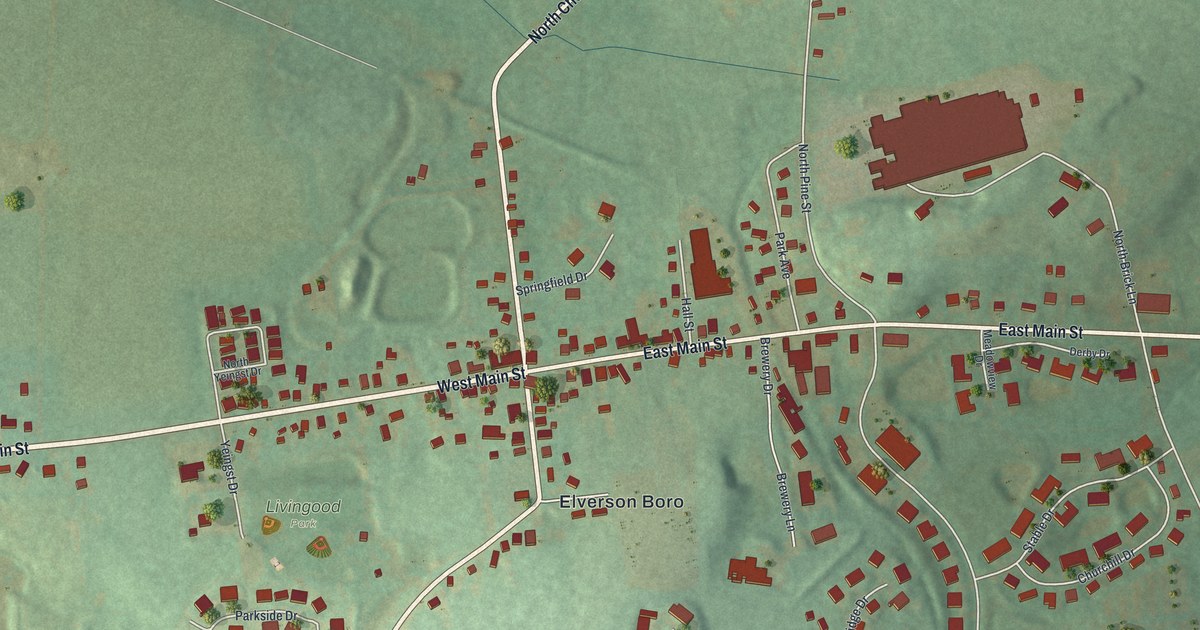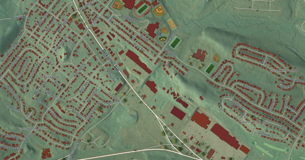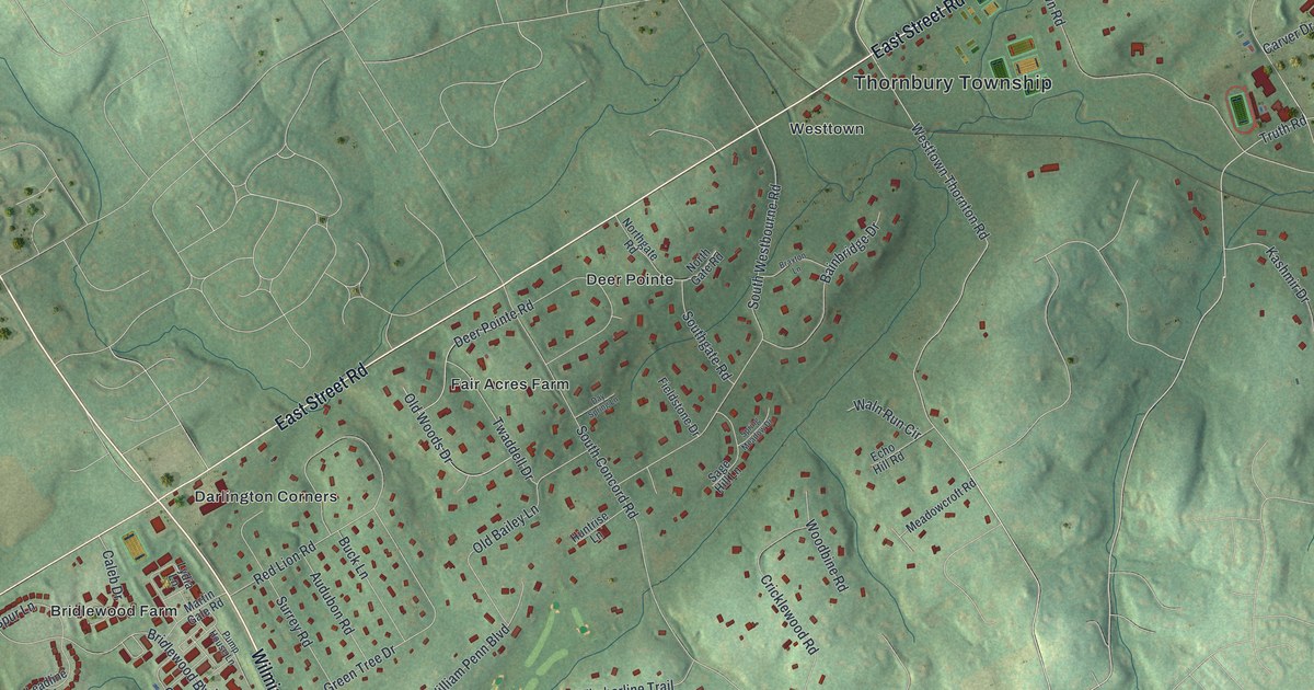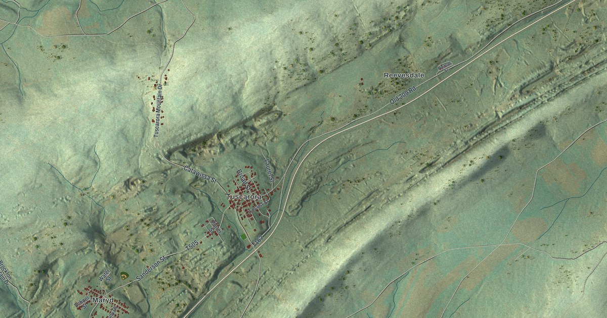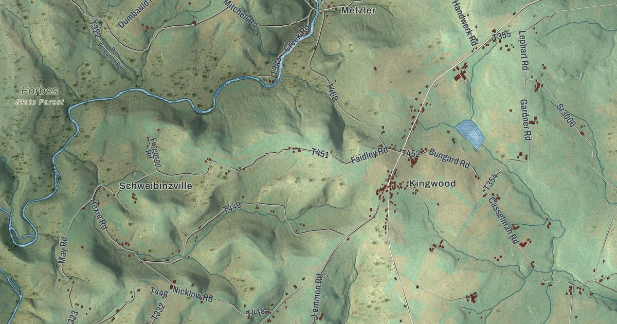
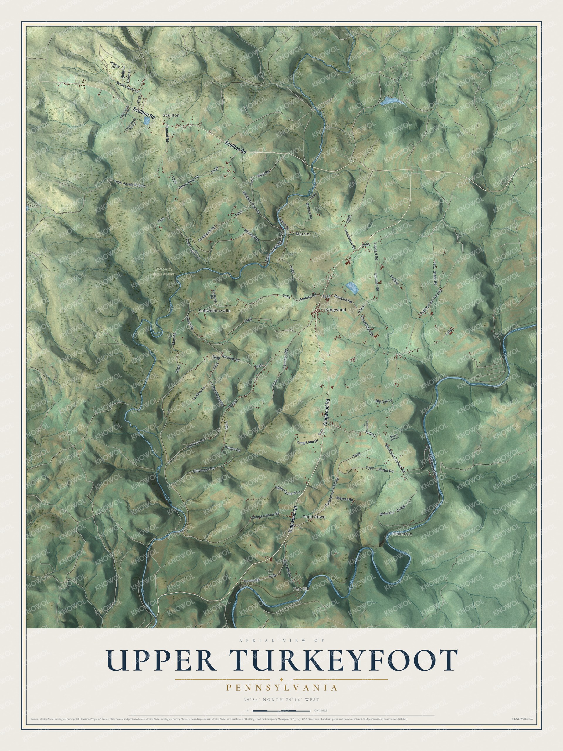
This beautifully detailed map of Upper Turkeyfoot, Pennsylvania was created in 2026 using aerial imagery combined with modern topographical, census, street and landmark data. It’s a one-of-a-kind view of Upper Turkeyfoot that combines accurate data with a vintage aesthetic. The map shows every building in its true location, many of the roads carry their names, and the shaded topographic relief shows the shape of the land.
Explore an aerial view of Upper Turkeyfoot, Pennsylvania
On the map you’ll find Fort Hill, Scullton, Pinkerton, Forbes State Forest, Kingwood, Metzler, Paddytown, and Schweibinzville, along with Kingwood Road, Scullton Road, Markleton School Road, and more. If you look closely you can even find your house accurately drawn in its correct location. Zoom in on the preview to look for yours.
Did you know this piece of Upper Turkeyfoot, Pennsylvania history?
From the Somerset PAGenWeb: "Upper TURKEYFOOT township was organized in 1848, its territory, up to that date, having been included in the old township of Turkeyfoot. This region was settled early, but much of the land, owing to its mountainous and rugged features still remains uncleared."
Take a closer look at the Upper Turkeyfoot map
Street and place names on the Upper Turkeyfoot, Pennsylvania map
These names are printed on the map of Upper Turkeyfoot, Pennsylvania.
Places: Fort Hill, Scullton, Pinkerton, Forbes State Forest, Kingwood, Metzler, Paddytown and Schweibinzville.
Streets and roads: Kingwood Road, Scullton Road, Markleton School Road, Sr3011, Turkeyfoot Trail Road, Sr3006, Gardner Road, West Laurel Lane, Bungard Road, Turkey Foot Trail Road, Ohler Road, Tr798.
More street names, A to Z
Apple Orchard Lane, Autumn Lane, Big Oak Lane, Casselman Road, Chicken Bone Road, Clevenger Road, Creek Road, Doc Ferguson Road, Dumbauld Road, Faidley Road, Fort Hill Road, Foster Lane, Furgeson Road, Glade Road, Green King Road, Handwerk Road, Hexie Road, Holly Lane, Humbert Road, Juniper Lane, Kanaul Road, King Road, Kreger Road, Laurel Drive, La View Lane, Lemmon Road, Lephart Road, Linden Lane, Long Lane Drive, Lower Sandy Run Road, Markleton Road, May Road, McGuire Road, Meyers Road, Mitchell Road, Mount Zion Lane, Nicklow Road, Old Bethel Road, Porter Road, Sandy Run Road, Sr3007, Turney Road, Upper Sandy Run Road, Whipkey Dam Road.
See the Upper Turkeyfoot, Pennsylvania map on a wall
The Upper Turkeyfoot map as an 18 x 24 inch print in a black frame.

This beautifully detailed map of Upper Turkeyfoot makes an attractive addition to your office, library, or den, and it can even be used to teach children the geography and history of the area. It also makes a great gift for anyone who grew up in Upper Turkeyfoot or moved away. When you’re done exploring, click here to get your copy of the Upper Turkeyfoot map.