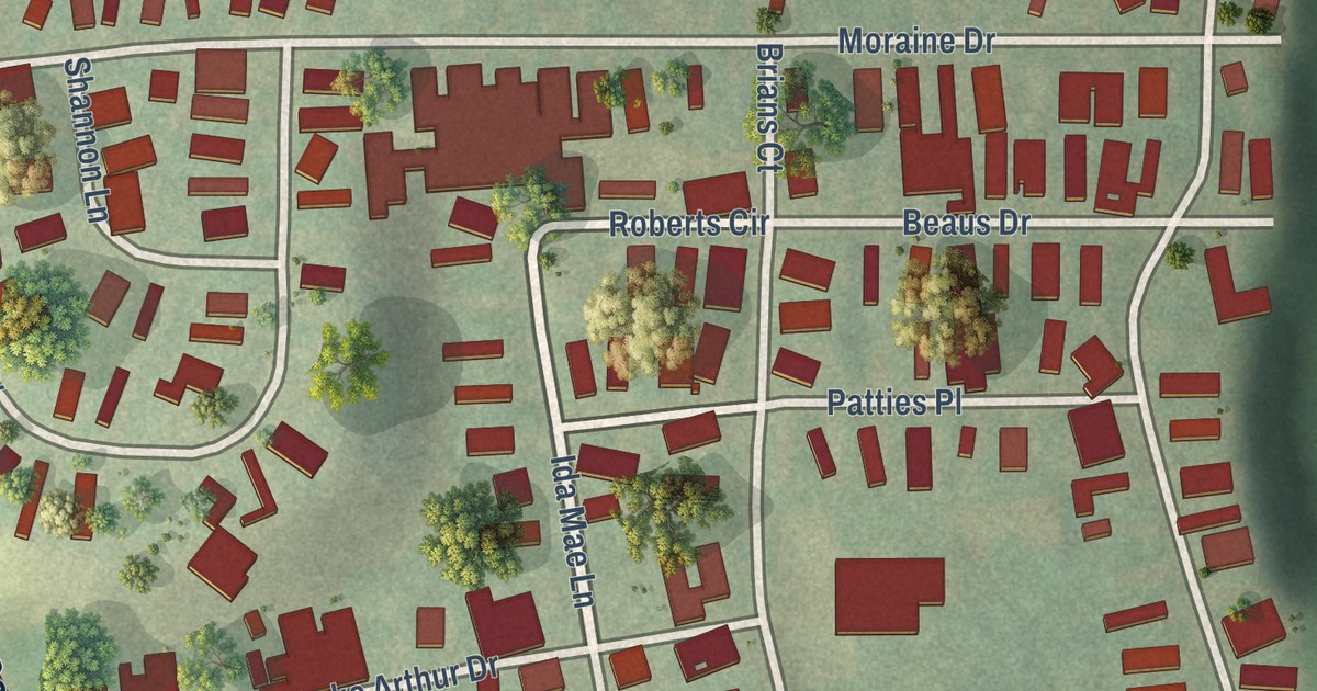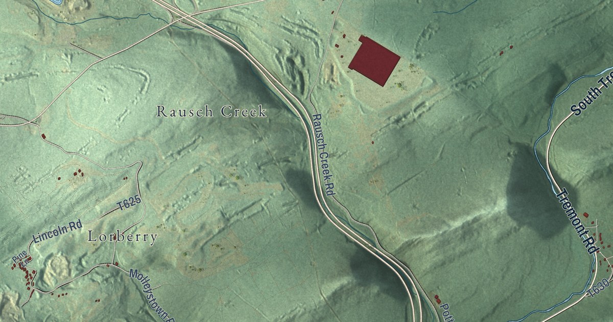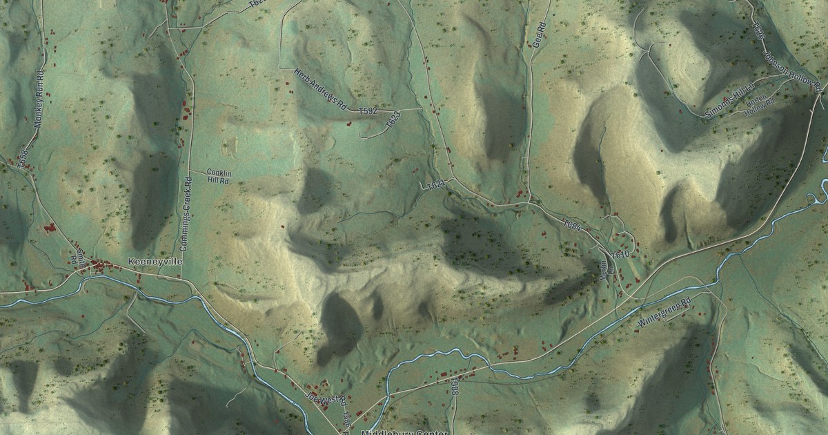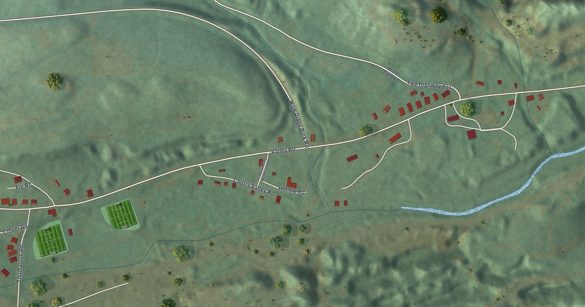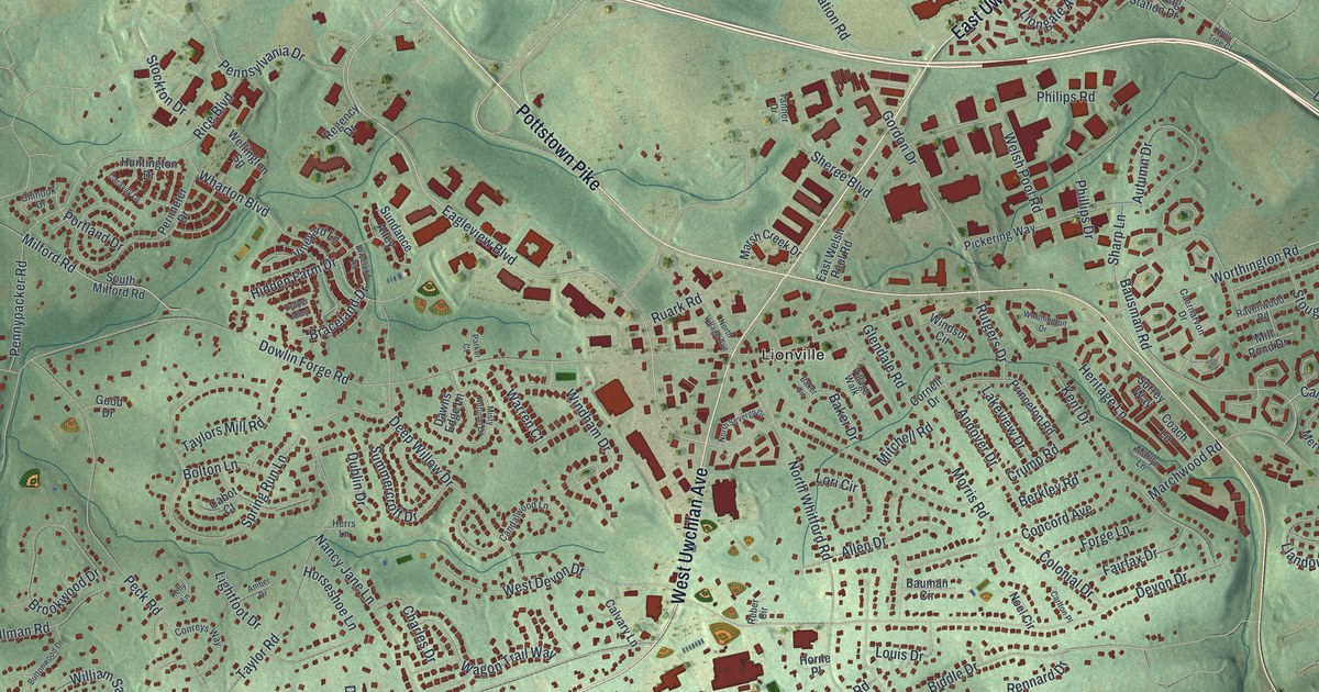
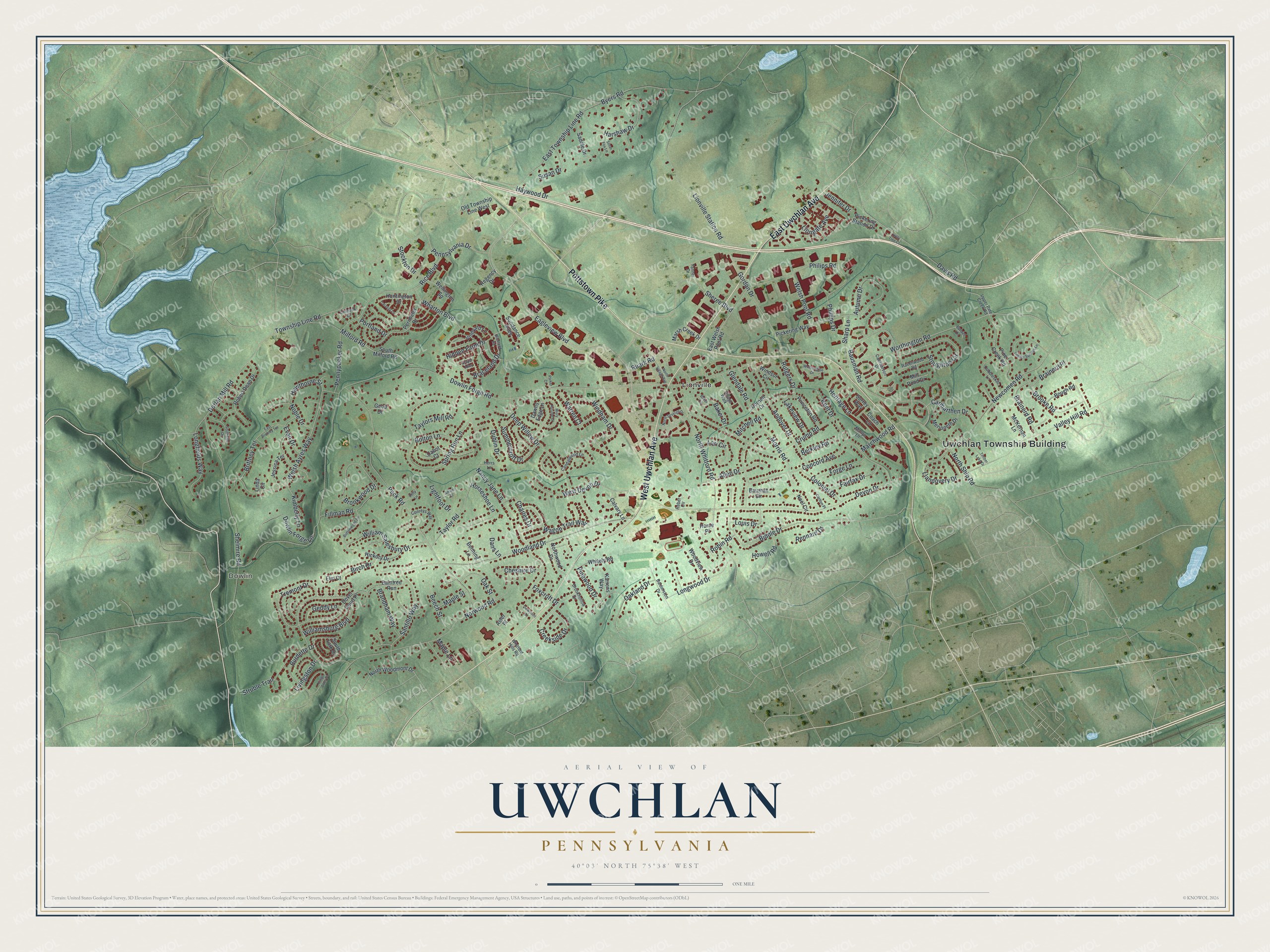
This beautifully detailed map of Uwchlan, Pennsylvania was created in 2026 using aerial imagery combined with modern topographical, census, street and landmark data. It’s a one-of-a-kind view of Uwchlan that combines accurate data with a vintage aesthetic. The map shows every building in its true location, many of the roads carry their names, and the shaded topographic relief shows the shape of the land.
Explore an aerial view of Uwchlan, Pennsylvania
On the map you’ll find Uwchlan Township Building, Dowlin, and Lionville, along with East Uwchlan Avenue, Pottstown Pike, West Uwchlan Avenue, Eagleview Boulevard, Windham Drive, Milford Road, Worthington Road, Gordon Drive, Hidden Farm Drive, and more. If you look closely you can even find your house accurately drawn in its correct location. Zoom in on the preview to look for yours.
Did you know this piece of Uwchlan, Pennsylvania history?
Most of the first settlers in Uwchlan Township came from Wales. One of them, David Lloyd, was a friend of William Penn and sold lots from his thousands of acres. Because the land was hilly, the Welsh called it Uwchlan, meaning upland. The Lionville Historic District and the Uwchlan Meetinghouse are now on the National Register.
Take a closer look at the Uwchlan map
Street and place names on the Uwchlan, Pennsylvania map
These names are printed on the map of Uwchlan, Pennsylvania.
Places: Uwchlan Township Building, Dowlin and Lionville.
Streets and roads: East Uwchlan Avenue, Pottstown Pike, West Uwchlan Avenue, Eagleview Boulevard, Windham Drive, Milford Road, Worthington Road, Gordon Drive, Hidden Farm Drive, Dowlin Forge Road, Peck Road, Devon Drive.
More street names, A to Z
Allen Drive, Amber Drive, Andover Drive, Aster Place, Autumn Drive, Baintree Run, Baker Circle, Baker Drive, Balderston Drive, Bauman Circle, Bausman Road, Beech Street, Benning Lane, Berkley Road, Biddle Drive, Birch Drive, Bolton Lane, Bough Road, Braceland Drive, Brainerd Place, Brainerd Road, Brandham Way, Briceland Road, Brittney Terrace, Brooke Road, Brookhollow Drive, Brookwood Drive, Buddell Drive, Burdette Drive, Buttonwood Drive, Byers Road, Cabot Court, Caernarvon Drive, Calvary Lane, Candalwood Lane, Caravay Lane, Carlton Place, Carmarthen Drive, Charles Drive, Cheshire Drive, Chinook Drive, Coach Lane, Cobbleskill Lane, Colonial Drive, Concord Avenue, Conreys Way, Cornell Drive, Creekside Drive, Crump Road, Dans Lane, Davis Road, Dawns Edge Lane, Deep Willow Drive, Dorlan Mill Road, Dover Court Place, Dowlin Forge Lane, Draper Alley, Dublin Drive, East Brittney Terrace, East Township Line Road, East Welsh Pool Road, Elm Court, Evan Drive, Fairfax Drive, Fillman Road, Forge Lane, Foxcroft Drive, Geddy Lane, Glendale Road, Good Drive, Harshaw Drive, Hawthorne Street, Haywood Drive, Heritage Lane, Herrs Lane, Hickory Drive, Holly Tree Court, Horne Place, Horseshoe Lane, Howell Road, Huntington Drive, Jennifer Drive, Jessica Terrace, Karrens Way, Kelly Lane, Kent Drive, Kimberly Lane, Kings Arms Drive, Lakeview Drive, Lightfoot Drive, Linda Circle, Liongate Avenue, Lionville Station Road, Livingston Drive, Llandovery Drive, Longfields Way, Longwood Drive, Lori Circle, Louis Drive, Maple Lane, Maple Street, Marchwood Road, Marlyn Lane, Marsh Creek Drive, McKernan Lane, Merioneth Drive, Mill Pond Drive, Misty Autumn Drive, Mitchell Road, Morris Road, Nancy Jane Lane, Newcomen Road, Noble Drive, Noel Circle, North Severgn Drive, North Ship Road, North Village Avenue, North Whitford Road, Northwood Drive, North Woodmont Drive, Norwood Road, Oakland Drive, Oak Street, Old Township Line West, Parker Court, Pennsylvania Drive, Pennypacker Road, Perimeter Drive, Philips Road, Phillips Drive, Pickering Station Drive, Pickering Way, Pine Creek Road, Pinewood Drive, Portland Drive, Princeton Road, Ravenwood Road, Reber Circle, Regency Drive, Rennard Drive, Rice Boulevard, Robert Dean Drive, Robin Road, Ruark Road, Rutgers Drive, Saddle Drive, Santillo Way, Sharp Lane, Shelmire Road, Sheree Boulevard, Silver Fox Lane, South Milford Road, Southside Circle, South York Drive, Spring Run Lane, Stockton Drive, Stoughton Circle, Struble Trail, Summercroft Drive, Sundance Alley, Surrey Way, Susan Drive, Tanner Drive, Taylor Road, Taylors Mill Road, Timber Lake Drive, Timber Springs Lane, Township Line Road, Tremont Drive, Upper Pine Creek Road, Valley Hill Road, Viewpoint Drive, Village Walk, Vineyard Lane, Wagon Trail Way, Warren Court, Wellington Square, Welsh Ayres Way, Welsh Pool Road, West Devon Drive, Wharton Boulevard, Whitely Road, Whitford Hills Road, William Salesbury Drive, Williamsburg Boulevard, Windsor Circle, Woodland Drive, Woodview Drive, Worthington Drive.
See the Uwchlan, Pennsylvania map on a wall
The Uwchlan map as an 18 x 24 inch print in a black frame.

This beautifully detailed map of Uwchlan makes an attractive addition to your office, library, or den, and it can even be used to teach children the geography and history of the area. It also makes a great gift for anyone who grew up in Uwchlan or moved away. When you’re done exploring, click here to get your copy of the Uwchlan map.