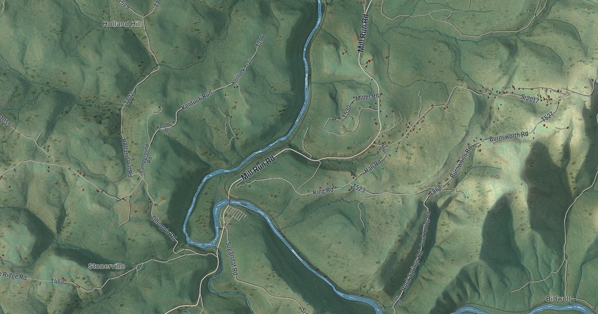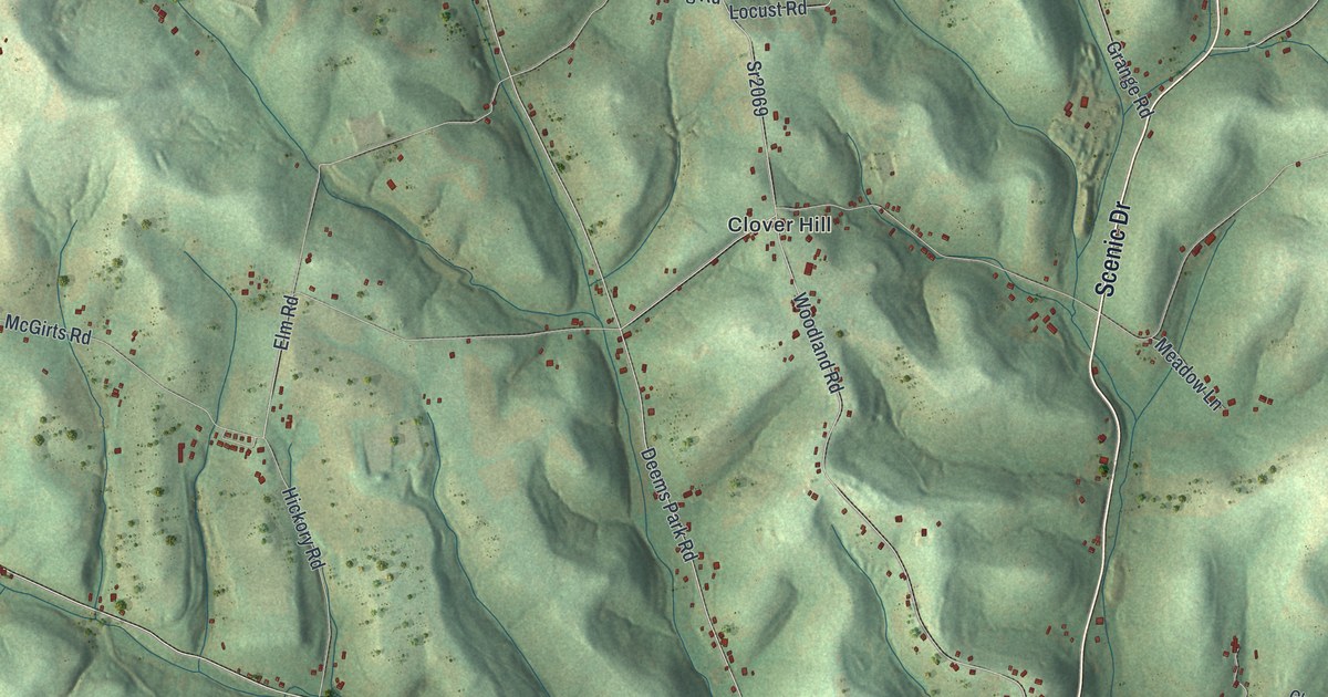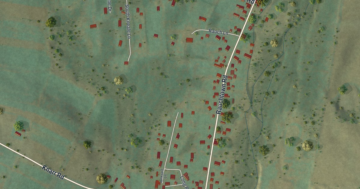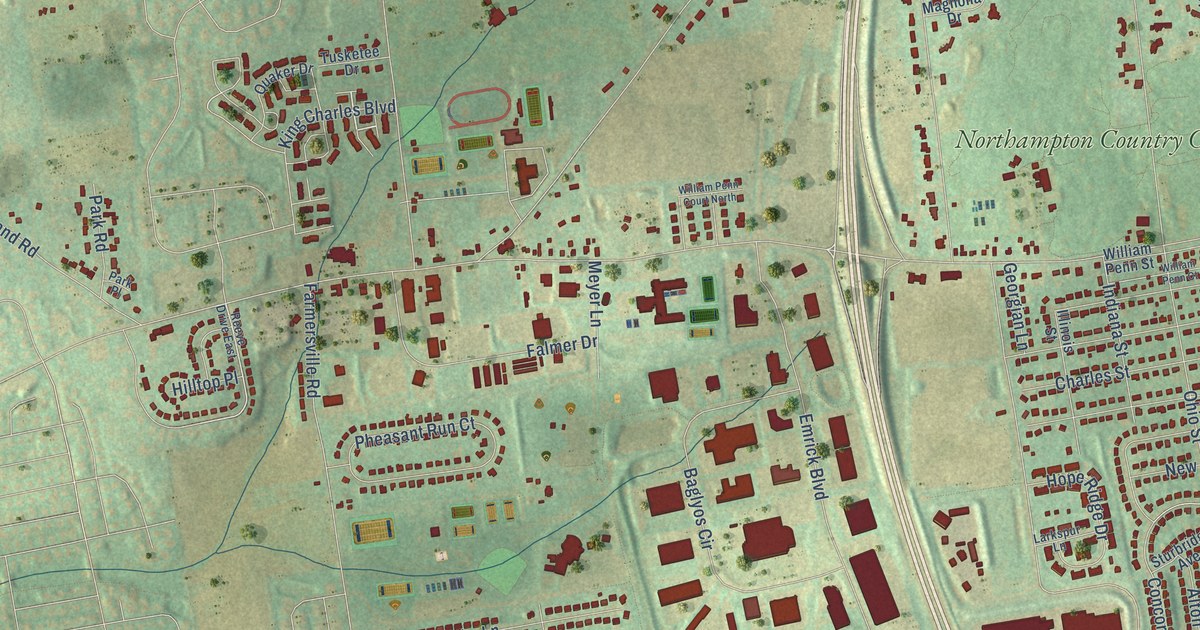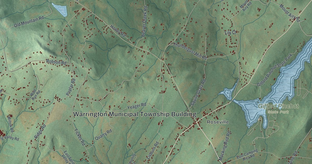
This beautifully detailed map of Warrington, York County, Pennsylvania was created in 2026 using aerial imagery combined with modern topographical, census, street and landmark data. It’s a one-of-a-kind view of Warrington that combines accurate data with a vintage aesthetic. The map shows every building in its true location, many of the roads carry their names, and the shaded topographic relief shows the shape of the land.
Explore an aerial view of Warrington, York County, Pennsylvania
On the map you’ll find Warrington Municipal Township Building, Maytown, Gifford Pinchot State Park, State Game Lands Number 242, Alpine, Benedicts, Detters Mill, Fortney, Mount Airy, Mount Top, Roseville, Wellsville, and more. If you look closely you can even find your house accurately drawn in its correct location. Zoom in on the preview to look for yours.
Did you know this piece of Warrington, York County, Pennsylvania history?
From the 1886 History of York County, Pennsylvania: "The wooden bridge over the Conewago Creek at Kunkle’s Mill, at the northeast end of the township, did not yield its honored position to the flood of 1884."
Take a closer look at the Warrington, York County map
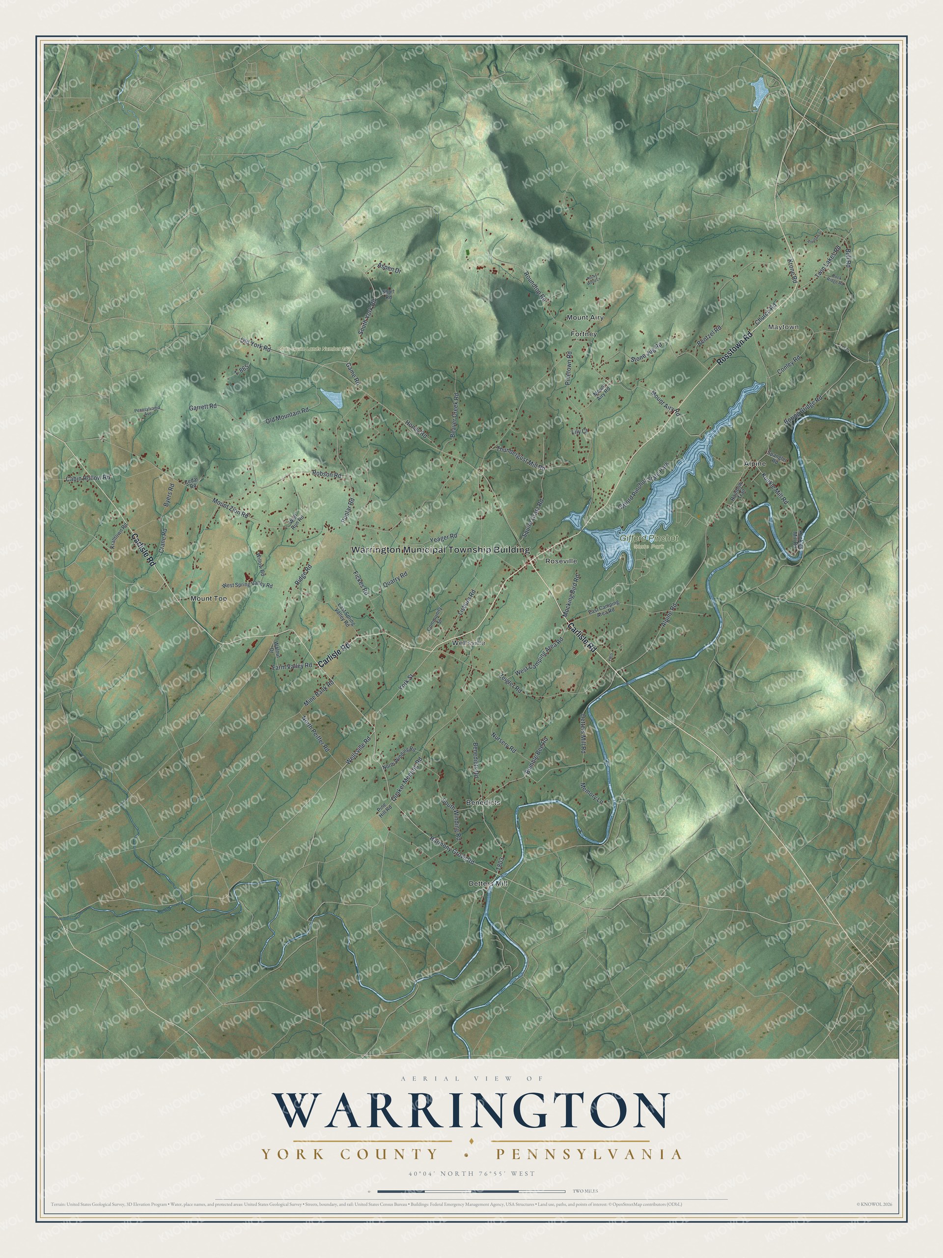
Street and place names on the Warrington, York County, Pennsylvania map
These names are printed on the map of Warrington, York County, Pennsylvania.
Places: Warrington Municipal Township Building, Maytown, Gifford Pinchot State Park, State Game Lands Number 242, Alpine, Benedicts, Detters Mill, Fortney, Mount Airy, Mount Top, Roseville and Wellsville.
Streets and roads: Carlisle Road, Rosstown Road, Harmony Grove Road, York Street, Wellsville Road, Detters Mill Road, Alpine Road, Thundergust Mill Road, Old York Road, Pinetown Road, Lisburn Road, Ridge Road.
More street names, A to Z
Antietam Drive, Aspen Drive, Beaver Creek Road, Benedicts Road, Bentzel Road, Boring Bridge Road, Bull Road, Bumble Bee Road, Byers Road, Cabin Hollow Road, Cedar Road, Church Road, Community Street, Conley Road, Crane Road, East Camping Area Road, East Spring Valley Road, Farm Valley Road, Fickes Road, Game Road, Garrett Road, Honey Road, Kralltown Road, Krone Road, Kunkle Mill Road, Kunkles Mill Road, Lily Court, Memory Lane, Mine Bank Road, Mocking Bird Road, Mount Airy Road, Mount Zion Road, North Peiffer Road, North Winding Road, Nursery Road, Old Mountain Road, Pennsylvania Avenue, Pine Hill Road, Poplar Road, Quaker Meeting Road, Quarry Road, Rainbow Trail, Robson Road, Rock Ridge Road, Rocky Wood Lane, Roundtop Road, Short Road, South Winding Road, South York Road, Spangler Road, Squire Gratz Road, Stone Jug Road, T-865, T-924, Twin Lakes Road, Walnut Drive, West Camping Area Road, West Spring Valley Road, Willow Road, Wolf Run Road, Yeager Road, Zeigler Road.
See the Warrington, York County, Pennsylvania map on a wall
The Warrington, York County map as an 18 x 24 inch print in a black frame.

This beautifully detailed map of Warrington, York County makes an attractive addition to your office, library, or den, and it can even be used to teach children the geography and history of the area. It also makes a great gift for someone who left Warrington and still calls it home. When you’re done exploring, click here to get your copy of the Warrington, York County map.