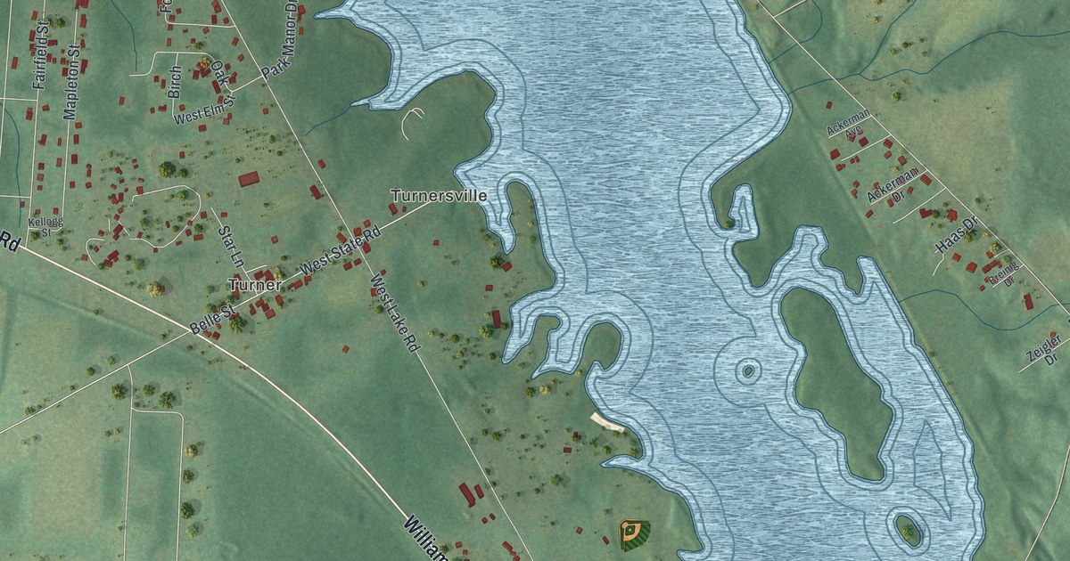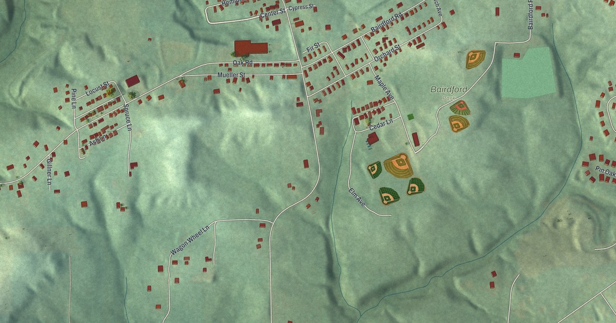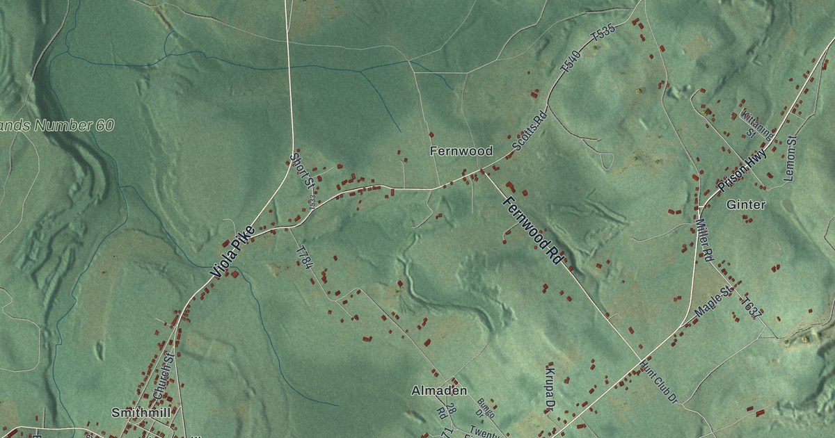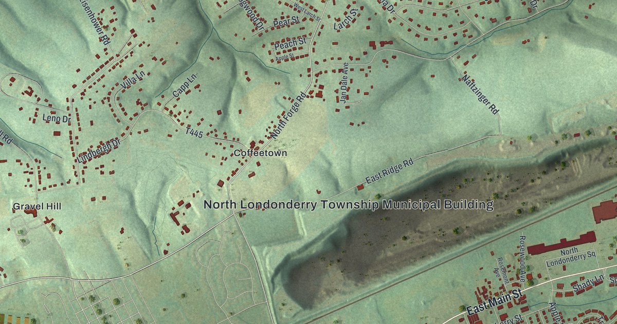
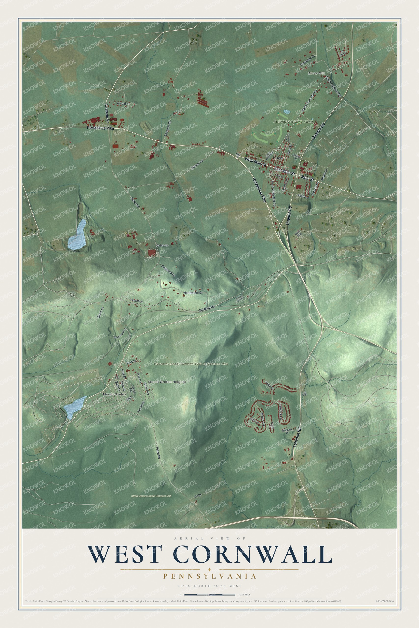
This beautifully detailed map of West Cornwall, Pennsylvania was created in 2026 using aerial imagery combined with modern topographical, census, street and landmark data. It’s a one-of-a-kind view of West Cornwall that combines accurate data with a vintage aesthetic. The map shows every building in its true location, many of the roads carry their names, and the shaded topographic relief shows the shape of the land.
Explore an aerial view of West Cornwall, Pennsylvania
On the map you’ll find Zinns Mill, Quentin, Mount Gretna Heights, Clarence Schock Memorial Park at Governor Dick, State Game Lands Number 145, Mount Gretna, and Fairview Golf Course, along with West Main Street, East Main Street, Horseshoe Pike, Main Street, Quentin Road, and more. If you look closely you can even find your house accurately drawn in its correct location. Zoom in on the preview to look for yours.
Did you know this piece of West Cornwall, Pennsylvania history?
West Cornwall Township’s village of Quentin was first called Bismark, a local spelling of Otto von Bismarck’s name. In October 1920 the village was renamed for Quentin Roosevelt, a fighter pilot killed in World War I. He was the youngest son of President Theodore Roosevelt.
Take a closer look at the West Cornwall map
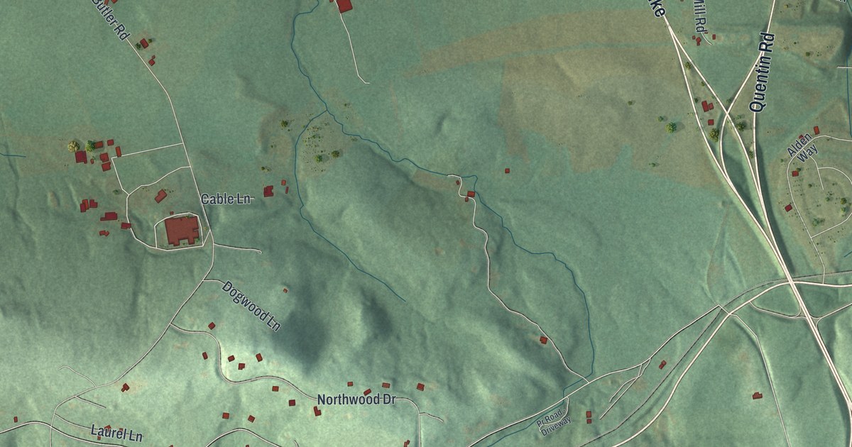
Street and place names on the West Cornwall, Pennsylvania map
These names are printed on the map of West Cornwall, Pennsylvania.
Places: Zinns Mill, Quentin, Mount Gretna Heights, Clarence Schock Memorial Park at Governor Dick, State Game Lands Number 145, Mount Gretna and Fairview Golf Course.
Streets and roads: West Main Street, East Main Street, Horseshoe Pike, Main Street, Quentin Road, Lebanon Road, North Zinns Mill Road, First Street, Butler Road, Old Mine Road, Maple Avenue, Pinch Road.
More street names, A to Z
Alden Lane, Alden Way, Arnold Court, Aspen Drive, Band Street, Birch Avenue, Black Lane, Brick Plant Lane, Cable Lane, Cassadee Court, Center Street, Colebrook Road, Dogwood Lane, Fifth Street, Fourth Street, Hemlock Circle, Laurel Lane, Locust Avenue, Locust Lane, Lori Ann Court, Maple Lane, North Cornwall Road, North Lebanon Street, Northwood Drive, Oak Lane, Old 72, Park Street, Pine Avenue, Poplar Drive, Pr Drive, Pr Road - Driveway, Riders Way, Scenic Ridge Boulevard, Sixth Street, South Zinns Mill Road, Spangler Road, Starner Road, Third Street, Walnut Lane, Williams Drive.
See the West Cornwall, Pennsylvania map on a wall
The West Cornwall map as an 18 x 24 inch print in a black frame.

This beautifully detailed map of West Cornwall makes an attractive addition to your office, library, or den, and it can even be used to teach children the geography and history of the area. It also makes a great gift for anyone with West Cornwall roots. When you’re done exploring, click here to get your copy of the West Cornwall map.