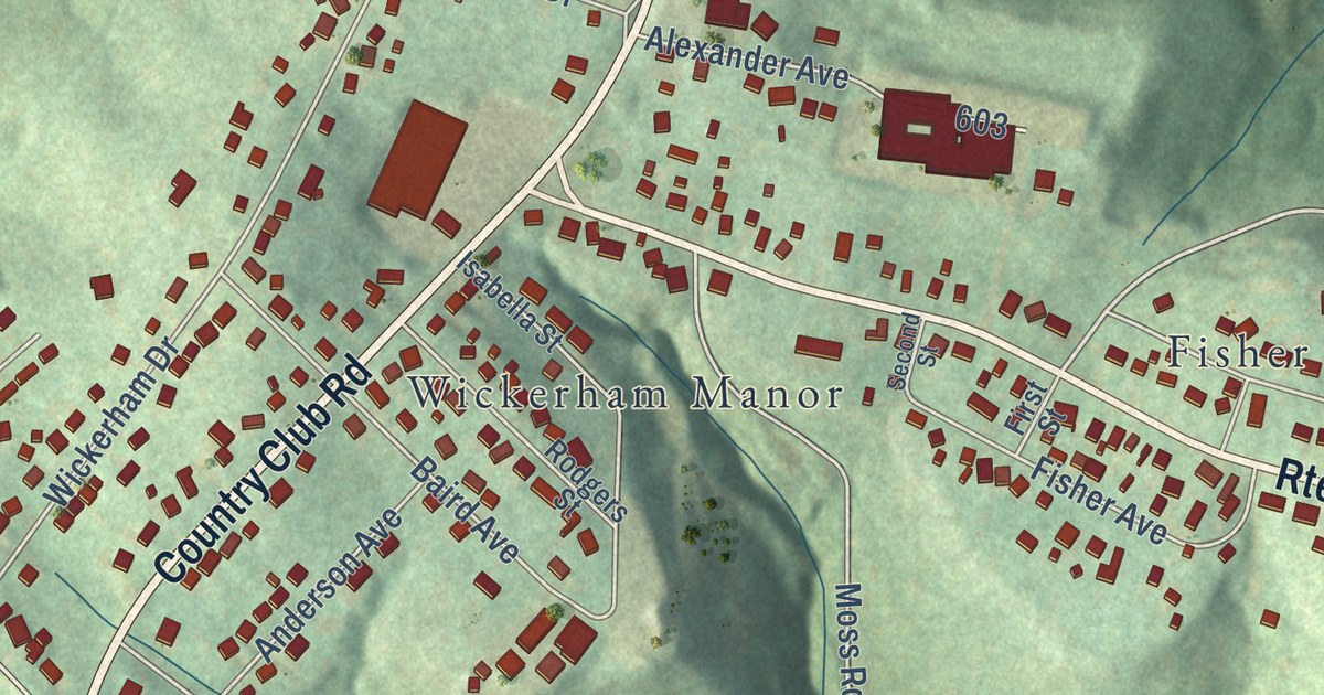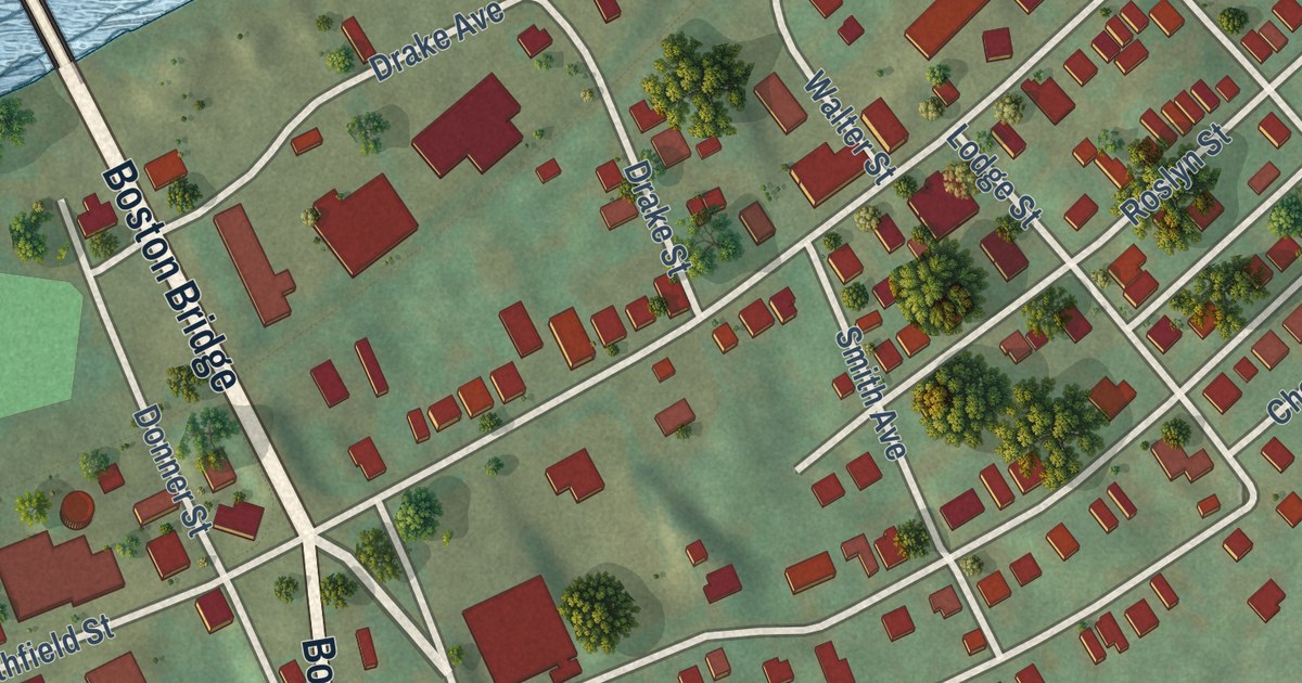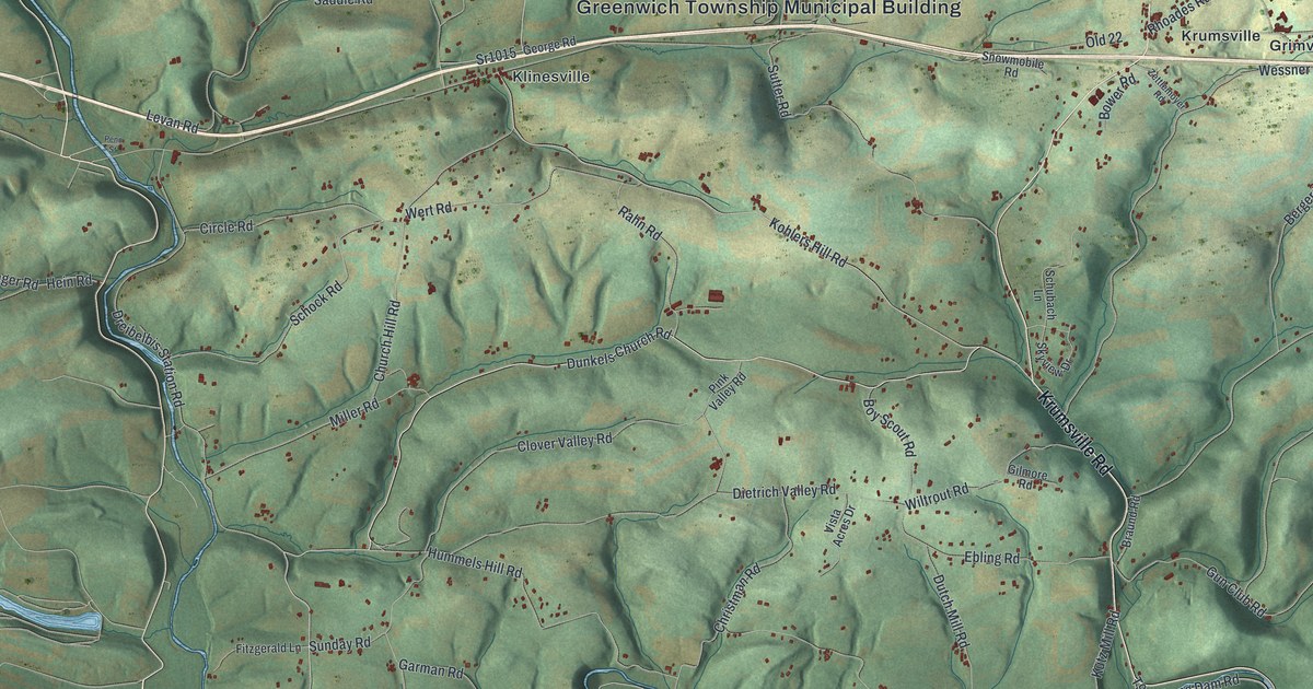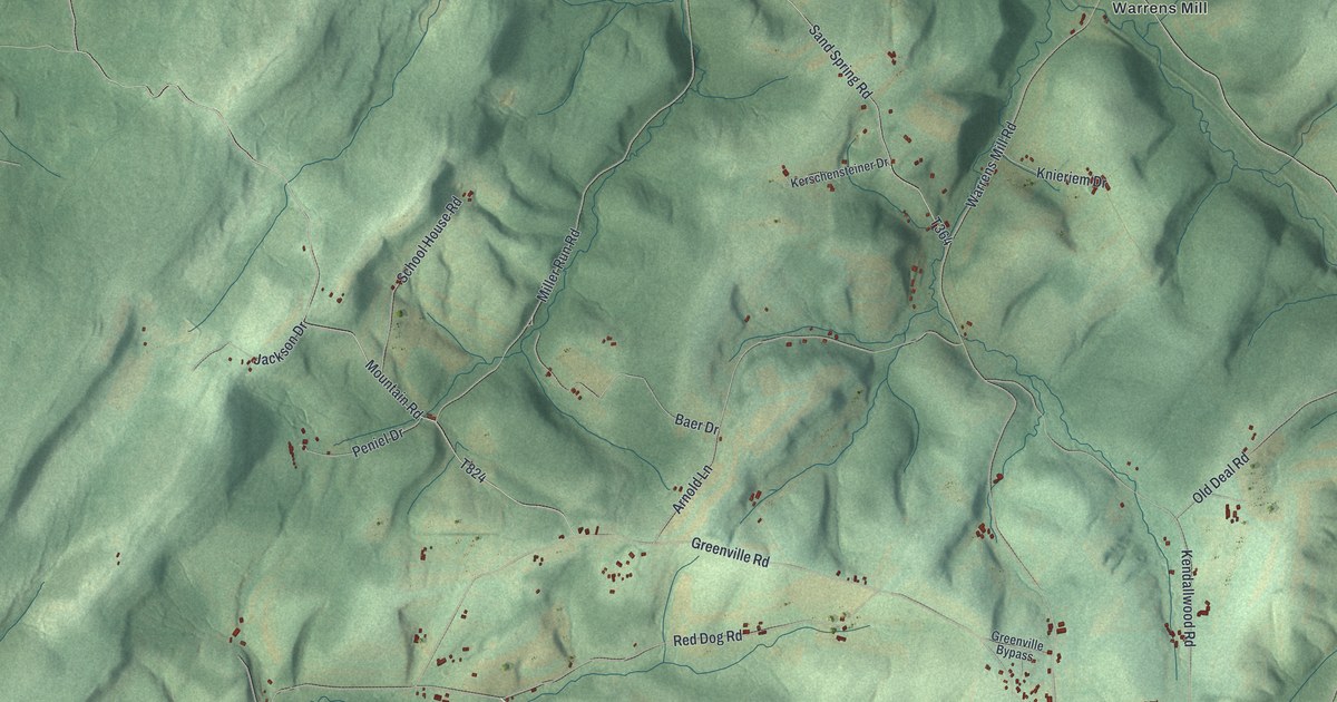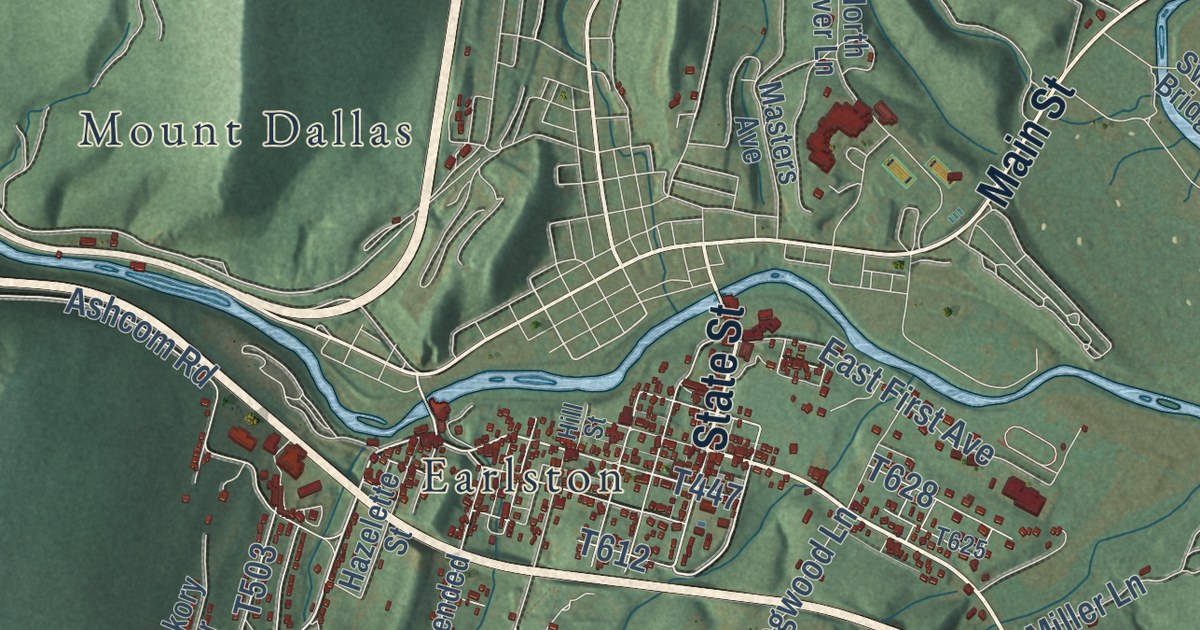
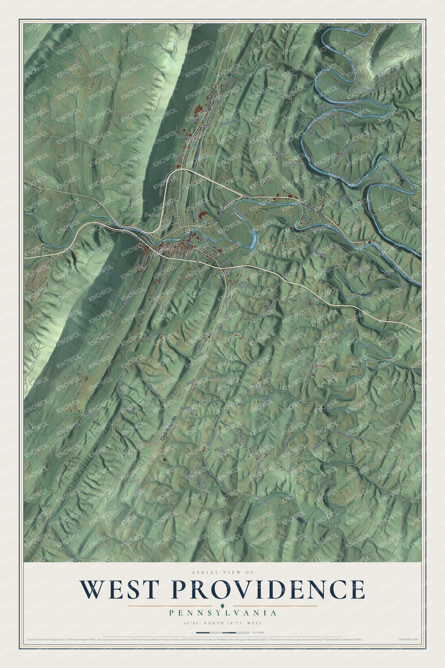
This beautifully detailed map of West Providence, Pennsylvania was created in 2026 using aerial imagery combined with modern topographical, census, street and landmark data. It’s a one-of-a-kind view of West Providence that combines accurate data with a vintage aesthetic. The map shows every building in its true location, many of the roads carry their names, and the shaded topographic relief shows the shape of the land.
Explore an aerial view of West Providence, Pennsylvania
On the map you’ll find Mench, Clear Ridge, Earlston, and Mount Dallas, along with Clear Ridge Road, Raystown Road, Main Street, State Street, Lincoln Highway, North Milk and Water Road, Black Valley Road, and more. If you look closely you can even find your house accurately drawn in its correct location. Zoom in on the preview to look for yours.
Did you know this piece of West Providence, Pennsylvania history?
From the Official Directory of Bedford County: "The first Grange was organized in West Providence township, in March, 1875."
Take a closer look at the West Providence map
Street and place names on the West Providence, Pennsylvania map
These names are printed on the map of West Providence, Pennsylvania.
Places: Mench, Clear Ridge, Mount Dallas and Earlston.
Streets and roads: Clear Ridge Road, Raystown Road, Main Street, State Street, Lincoln Highway, Black Valley Road, Old Sand Bank Road, North Milk and Water Road, Ritchey Bridge Road, Dauphin Road, West Mattie Road, Ritchey Road.
More street names, A to Z
Armory Street, Ashcom Road, Beegle Road, Berks Road, Blackstone Road, Bowser Farm Road, Bud Shuster Bypass, Bunker Hill Road, Burkett Bridge Road, Calhoun Road, Cherry Lane, Cherry Lane Road, Chester Road, Church Road, Clarion Road, Cliffside Acres Road, Conner Road, Corinthian Road, Cove Street, Cragan Road, Crawford Road, Dogwood Lane, East First Avenue, Equipment Road, Erie Street, Eshelman Road, Felton Hollow Road, French Creek Road, Greenbow Road, Hazelette Street, Hickory Drive, Hidden Hollow Lane, Hill Street, Holl Rs Extended, Industrial Boulevard, Leader Road, Masters Avenue, Mattie Road, McCune Road, McDaniel Road, McGraw Beach Road, Mechanics Hollow Road, Memory Lane, Menchtown Road, Merriwinds Road, Miller Lane, North River Lane, Nunnery Lane, Pepple Road, Pharr Road, Pine Hollow Road, Pine Street, Pittman Hollow Road, Pointer Road, Red Bud Lane, Riverview Road, Saddlebred Lane, Santa Rosa Road, Shuman Road, Sollenberger Road, Stayer Road, Stein Road, Summit Street, Swinging Bridge Lane, Tatesville Road, Trenton Road, Truax Road, Vera Ruby Lane, Walnut Beach Road, Warrior Ridge Street, Water Street, West Graceville Road, Wilkins Road, Winding Ridge Road, Woy Bridge Road.
See the West Providence, Pennsylvania map on a wall
The West Providence map as an 18 x 24 inch print in a black frame.

This beautifully detailed map of West Providence makes an attractive addition to your office, library, or den, and it can even be used to teach children the geography and history of the area. It also makes a great gift for anyone who grew up in West Providence or moved away. When you’re done exploring, click here to get your copy of the West Providence map.