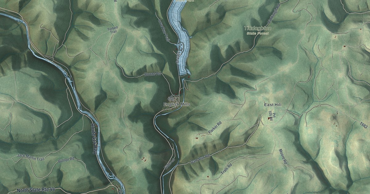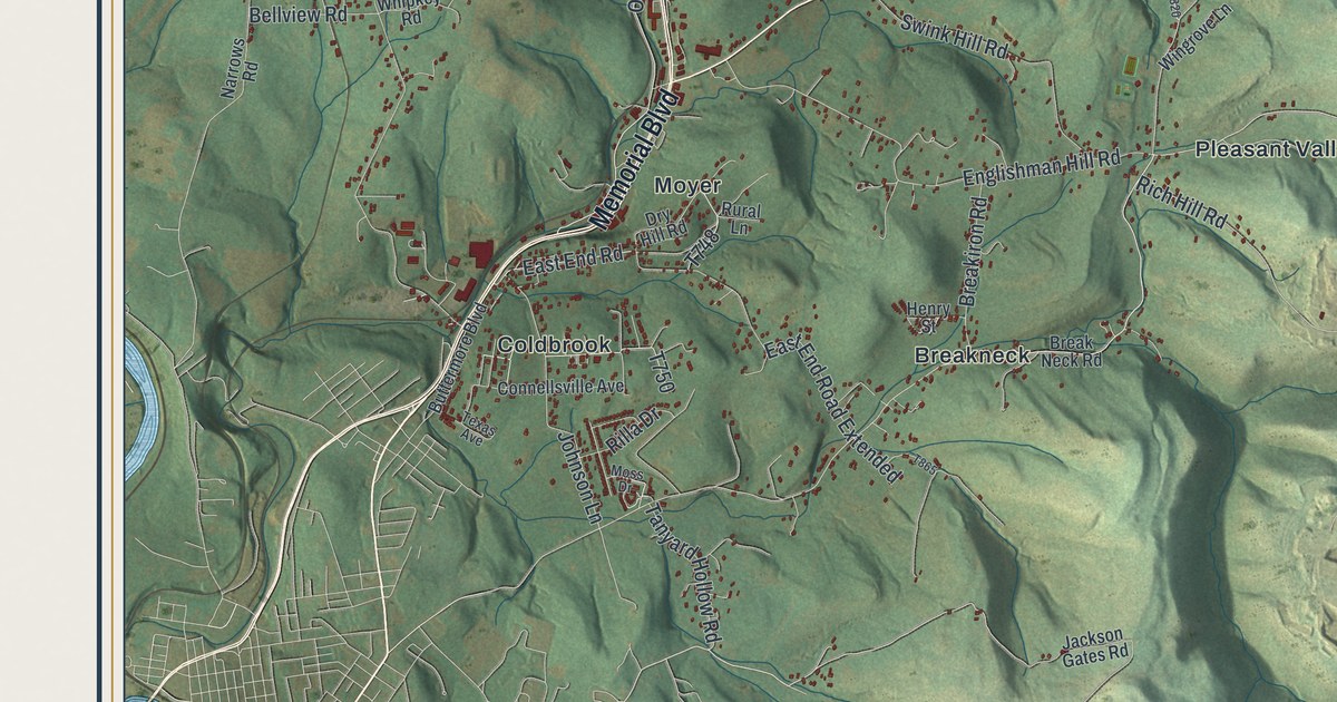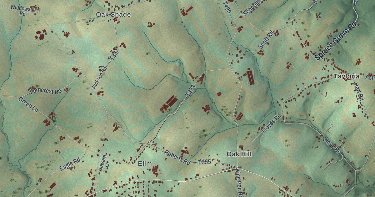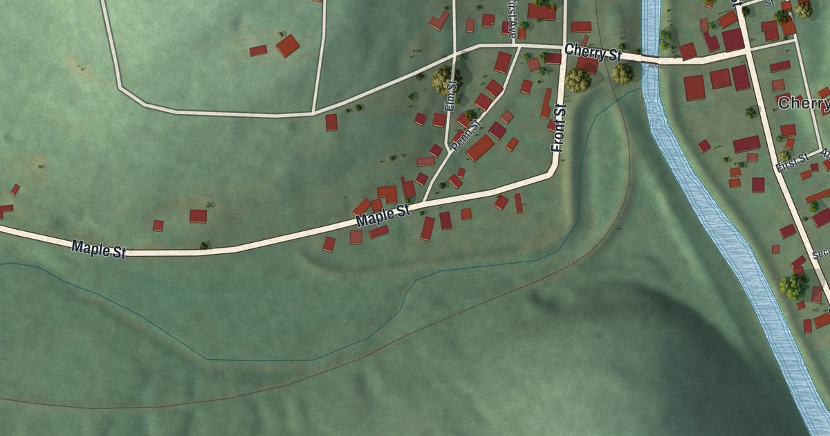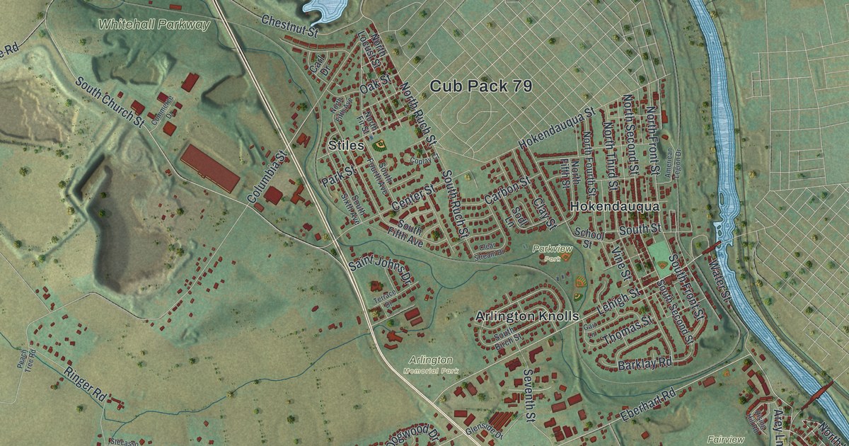
If you grew up in Egypt, Hokendauqua or Fullerton, or you've driven MacArthur Road more times than you can count, this map is for you. It shows Whitehall Township in Lehigh County, Pennsylvania, as a modern aerial view, built from modern data and given a vintage artistic feel. A wide blue river winds down the right side. Blue ponds and green hills fill the upper left. Red buildings crowd in from Cementon down to the Lehigh Valley Mall.
Why Whitehall Was Once Called Egypt
On this map you'll find MacArthur Road, Main Street, Mickley Road, Lehigh Valley Mall, Fullerton Avenue, Mauch Chunk Road, Egypt, Cementon, Hokendauqua, West Catasauqua, Arlington Memorial Park, Fairview Cemetery, Jordan Creek Parkway, Whitehall Parkway, and more. Each red shape is a building, so zoom in on the preview and look for yours.
The 1914 History of Lehigh County calls Whitehall "the most historic of all the townships in Lehigh county." It was started in 1753, back when this land was part of Northampton County. English county officials chose the name Whitehall. But the people who lived here had their own name for it. They called it Egypt. The book says the name came from the soil. This land was more fertile and grew more corn than Lynn and Albany townships. People called that area "Allemaengel," which means "all want." Egypt was the place with plenty. The name still sits on the map today, printed near Main Street at the top left.
Helfrich Spring on Mickley Road
The same book tells of a big limestone spring along the Jordan Creek, about two miles north of Allentown. Its water never ran out. For about seventy years it was called the Grim Spring, after its owner. Since 1872 it's been known as the Helfrich Spring. In 1908 a fishing club called Minsi fixed up the large basin and stocked it with many thousands of trout. Mickley Road ran along the east side of the water, and people riding by in cars looked on with interest. The Helfrich's Springs Grist Mill on Mickley Road is now listed on the National Register.
Egypt, Cementon and Fullerton on One Print
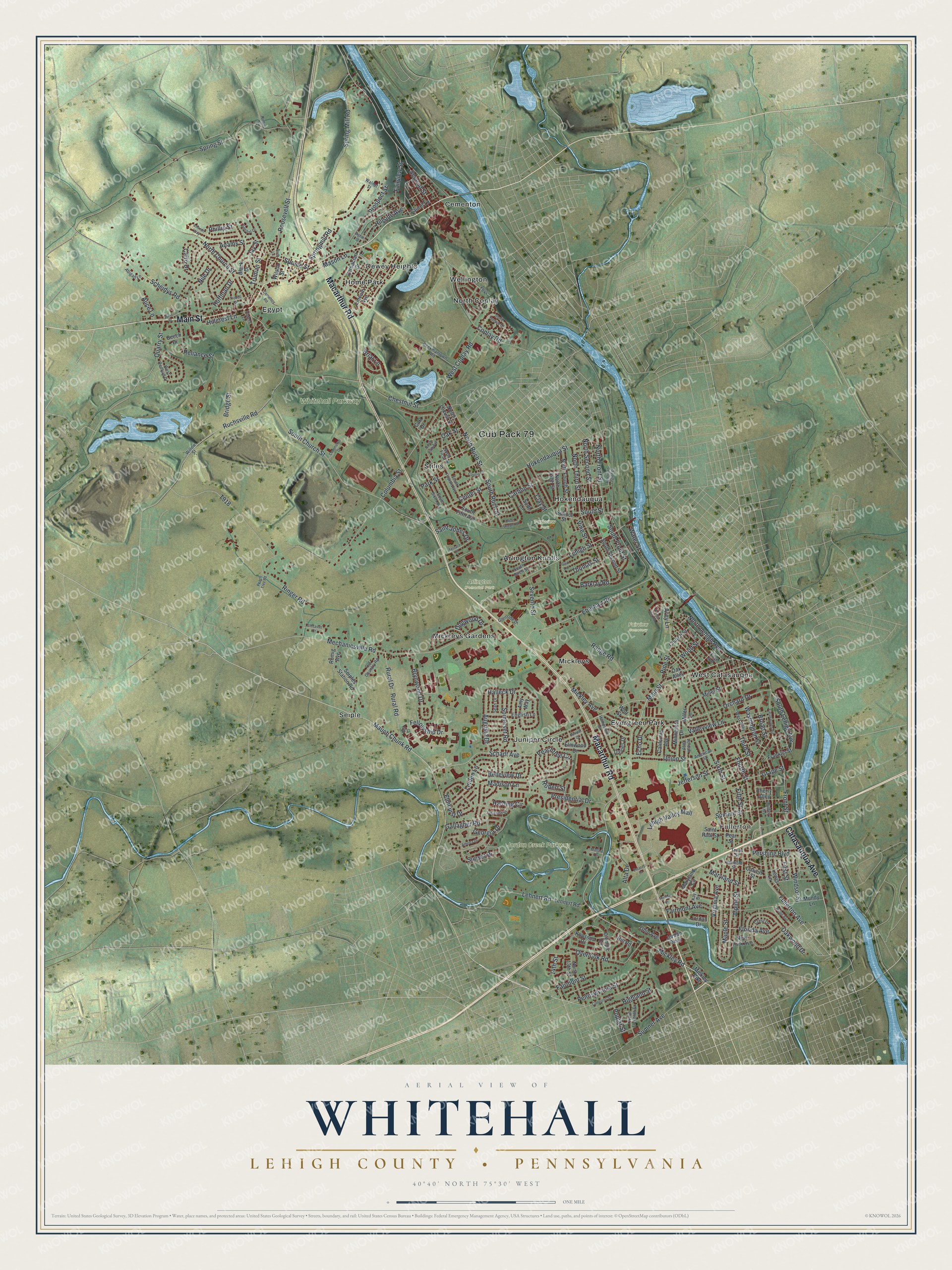
Created by KNOWOL in 2026, this print shows Whitehall from above in soft greens and blues, with shaded hills, a winding blue river and red buildings. The title panel reads "Aerial View of Whitehall" with "Lehigh County • Pennsylvania" and "40°40' North 75°30' West" beneath it.
It suits a living room, a hallway or a home office. It's a warm gift for anyone who grew up in Egypt or Fullerton, or for a friend who moved away and still misses trips to the Lehigh Valley Mall. Open the preview and find your own street. See sizes and frames for the Whitehall, Lehigh County map.