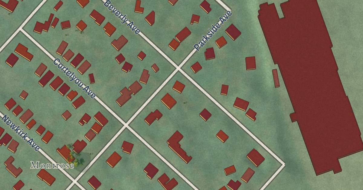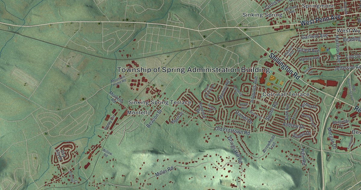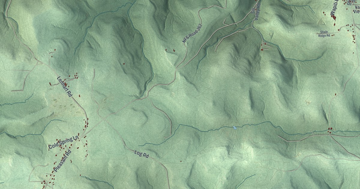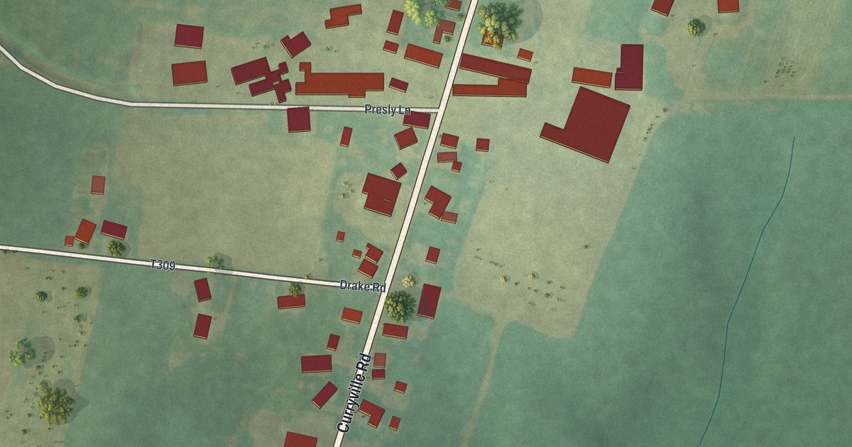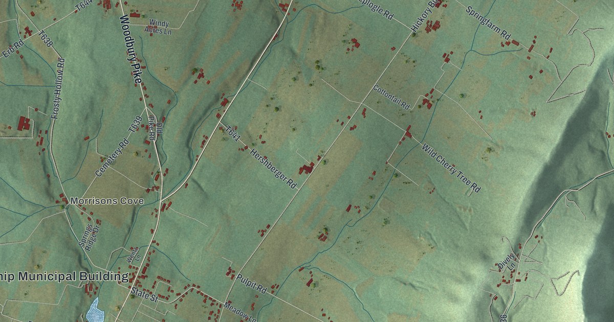
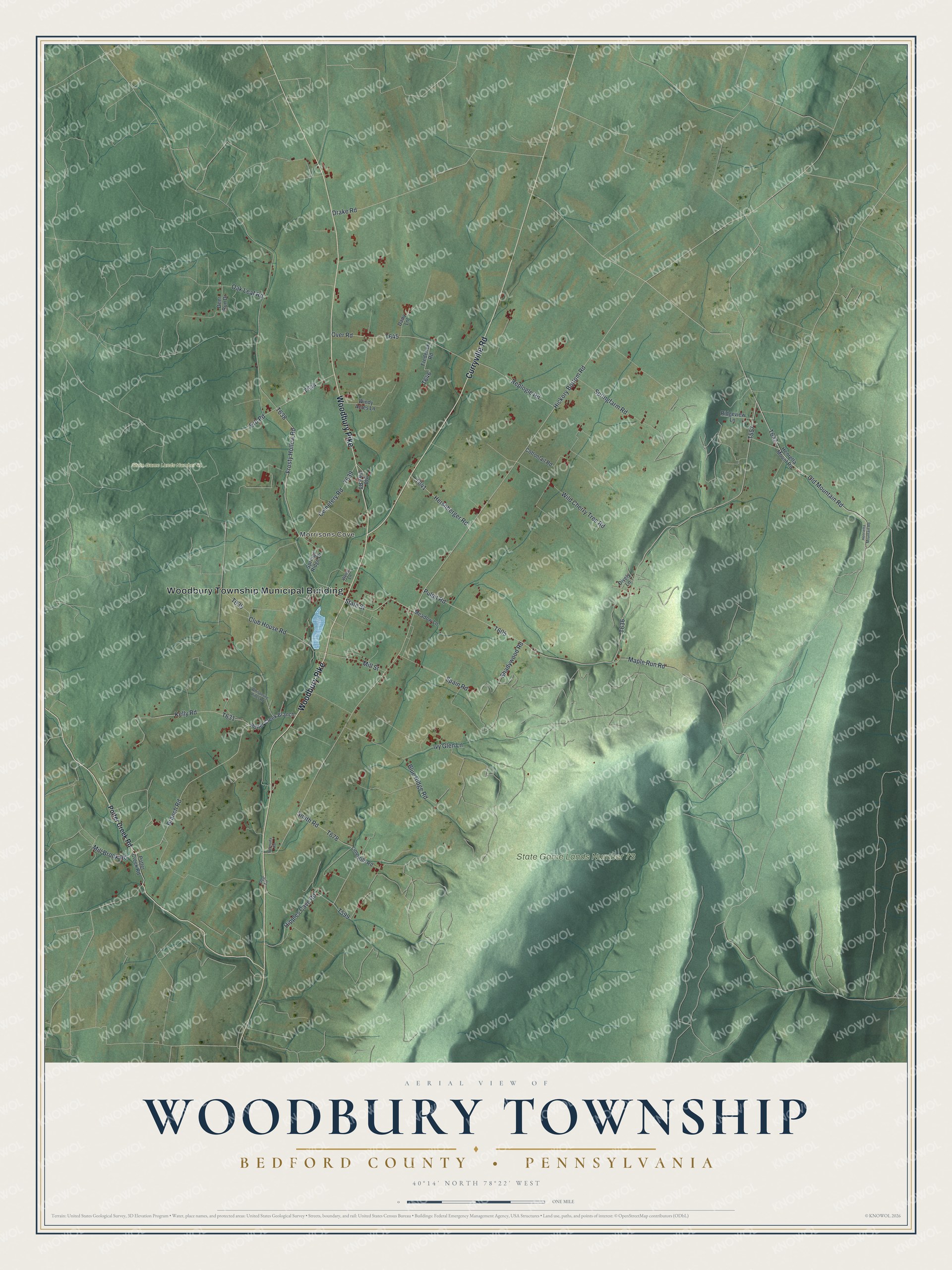
This beautifully detailed map of Woodbury Township, Bedford County, Pennsylvania was created in 2026 using aerial imagery combined with modern topographical, census, street and landmark data. It’s a one-of-a-kind view of Woodbury Township that combines accurate data with a vintage aesthetic. The map shows every building in its true location, many of the roads carry their names, and the shaded topographic relief shows the shape of the land.
Explore an aerial view of Woodbury Township, Bedford County, Pennsylvania
On the map you’ll find Woodbury Township Municipal Building, Morrisons Cove, State Game Lands Number 41, and State Game Lands Number 73, along with Curryville Road, Woodbury Pike, Old Mountain Road, Maple Run Road, Frosty Hollow Road, State Street, and more. If you look closely you can even find your house accurately drawn in its correct location. Zoom in on the preview to look for yours.
Did you know this piece of Woodbury Township, Bedford County, Pennsylvania history?
Woodbury township was organized about 1785. Its first settlers were German Baptists. Over the years it was cut down in size several times. The last cut came in 1876, when part of it became Bloomfield township. A 1926 history still called it one of the finest farming sections in the state. That’s from the 1926 Pennsylvania A History.
Take a closer look at the Woodbury Township, Bedford County map
Street and place names on the Woodbury Township, Bedford County, Pennsylvania map
These names are printed on the map of Woodbury Township, Bedford County, Pennsylvania.
Places: Woodbury Township Municipal Building, Morrisons Cove, State Game Lands Number 41 and State Game Lands Number 73.
Streets and roads: Woodbury Pike, Curryville Road, Old Mountain Road, Maple Run Road, Frosty Hollow Road, Pulpit Road, State Street, Kelly Road, Hickory Bottom Road, Smith Road, Branch Road, Club House Road.
More street names, A to Z
Bermuda Road, Blue Ridge Road, Cemetery Road, Cottontail Road, Dairy Lane, Deer Run Drive, Dively Lane, Dog Lane, Drake Road, Erb Road, Frederick Road, Henretta Mount Road, Henrietta Mountain Road, Hershberger Road, Hipples Cave Road, Ivy Glen Lane, Lime Kiln Road, Meadow Lane, Mill Brook Road, Mill Street, Oak Leaf Road, Old Pike Road, Over Road, Potter Creek Branch, Potter Creek Road, Replogle Road, Ridgeview Lane, Shadywood Road, Spain Road, Springfarm Road, Springs Ridge Drive, Wentz Lane, Whispering Pines Road, Wild Cherry Tree Road, Windy Acres Lane.
See the Woodbury Township, Bedford County, Pennsylvania map on a wall
The Woodbury Township, Bedford County map as an 18 x 24 inch print in a black frame.

This beautifully detailed map of Woodbury, Bedford County makes an attractive addition to your office, library, or den, and it can even be used to teach children the geography and history of the area. It also makes a great gift for someone who left Woodbury Township and still calls it home. When you’re done exploring, click here to get your copy of the Woodbury, Bedford County map.