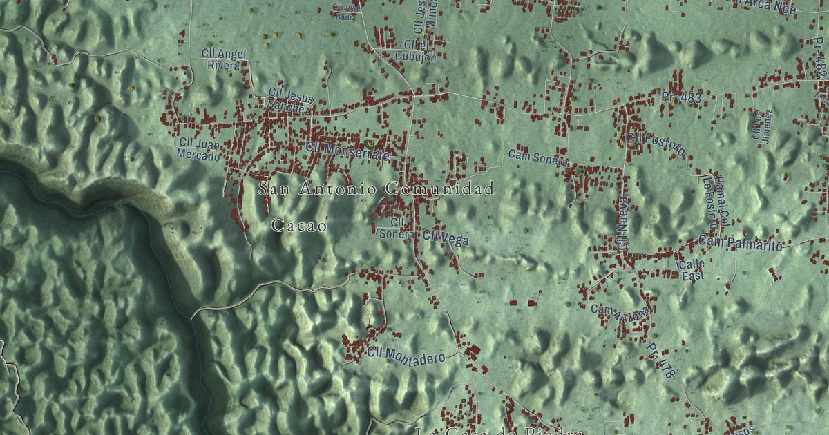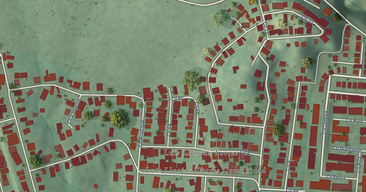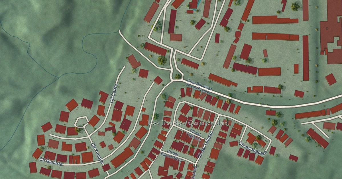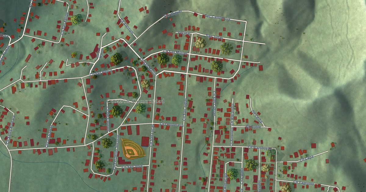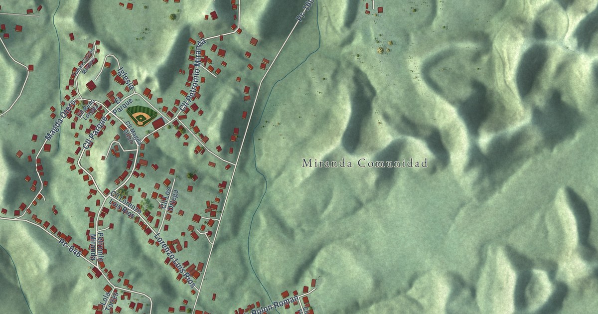
This beautifully detailed map of Miranda, Puerto Rico was created in 2026 using aerial imagery combined with modern topographical, census, street and landmark data. It’s a one-of-a-kind view of Miranda that combines accurate data with a vintage aesthetic. The map shows every building in its true location, many of the roads carry their names, and the shaded topographic relief shows the shape of the land.
Explore an aerial view of Miranda, Puerto Rico
On the map you’ll find Parcelas Miranda, Los Hoyos, Parcela Miranda Nueva, Luis Rolon Roman, and Magda Otero, along with Calle Parque, Calle Petronilo Miranda, PR-646, Camino Candelaria, PR-160, PR-645, and more. Miranda sits about 4 miles south of Monserrate, 4 miles southwest of Vega Alta and 4 miles southeast of Vega Baja. If you look closely you can even find your house accurately drawn in its correct location. Zoom in on the preview to look for yours.
Take a closer look at the Miranda map
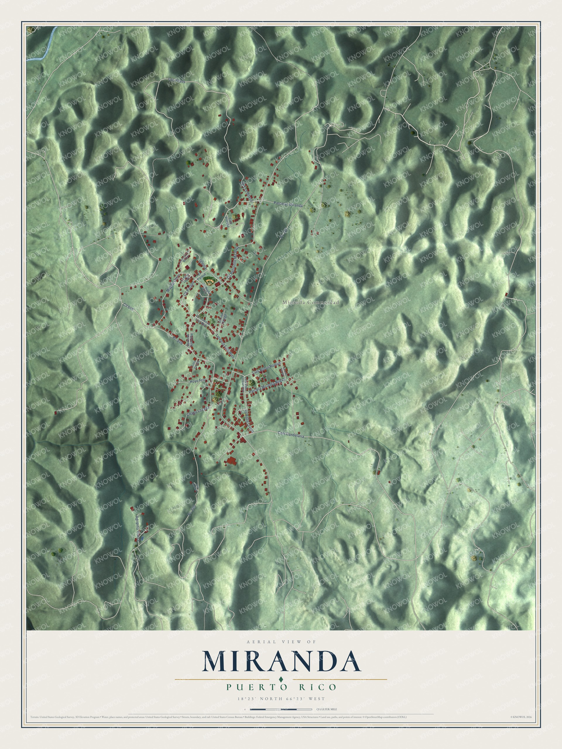
Names on this map
These names are printed on this map.
Places: Miranda Comunidad.
Streets and roads: Cll Parque, Parcelas Miranda, Los Hoyos, Cll Petronilo Miranda, Pr- 646, Cam Candelaria, Parcela Miranda Nueva, Luis Rolon Roman, Pr- 160, Pr- 645, Magda Otero, Cll Los Hoyos.
More street names, A to Z
Agripina Rivera, Alejo Martinez, Cam Privado, Chago Lozada, Cll 646, Cll Beno Lozada, Cll Las Flores, Cll Lorenzo Luis Rios, Cll Los Ortega, Cll Magda Otero, El Parque, Hoyo Frio, Iglesia, Lcdo Eddie Lozada Otero, Lic Eddie Lozada, Lola Torres, Lorenzo Luis Rios, Petronilo Miranda, Tomas Carrion Marrero.
See it on a wall
The Miranda map as a framed print. Swipe for more.


This beautifully detailed map of Miranda makes an attractive addition to your office, library, or den, and it can even be used to teach children the geography and history of the area. It also makes a great gift for someone who left Miranda and still calls it home. When you’re done exploring, click here to get your copy of the Miranda map.