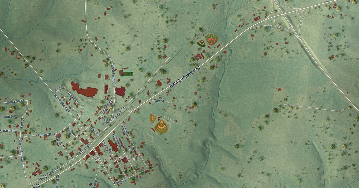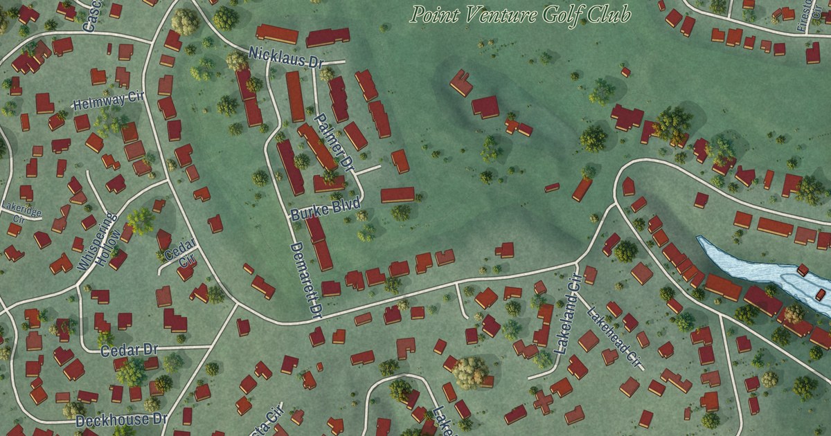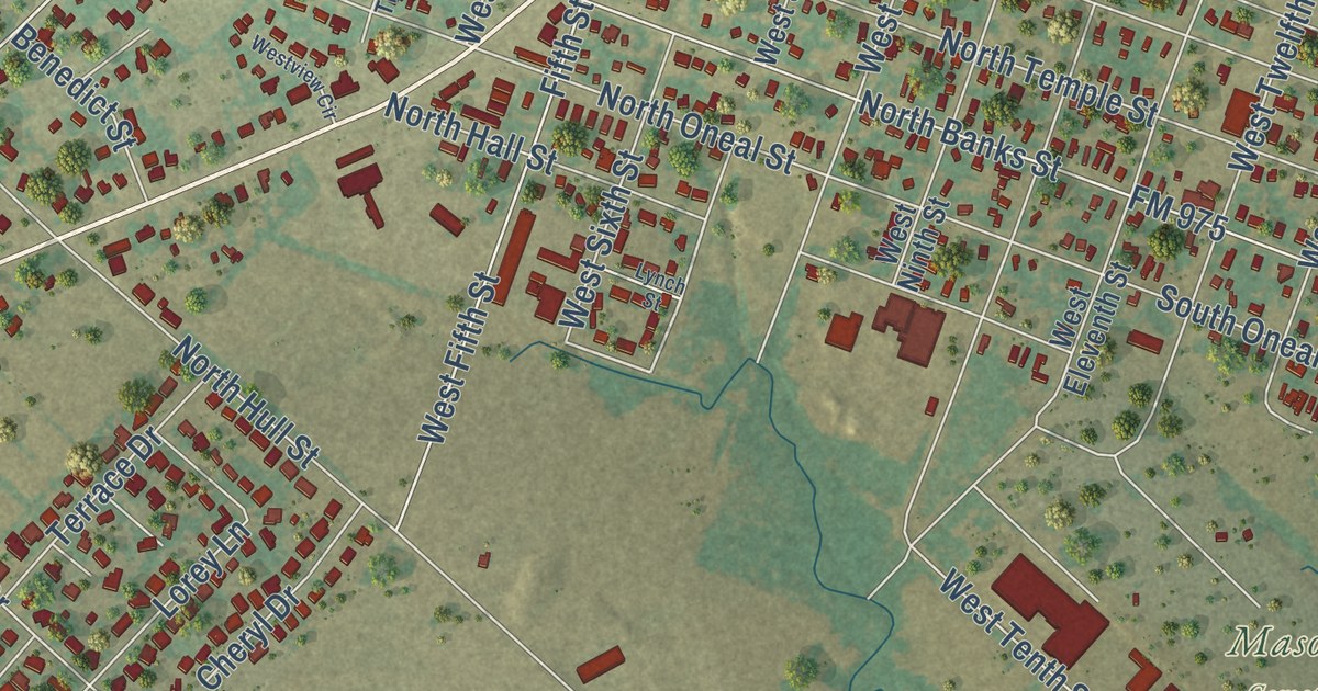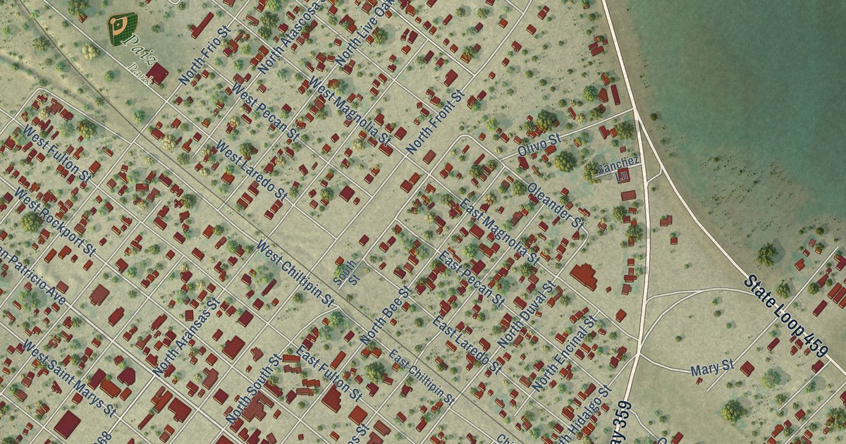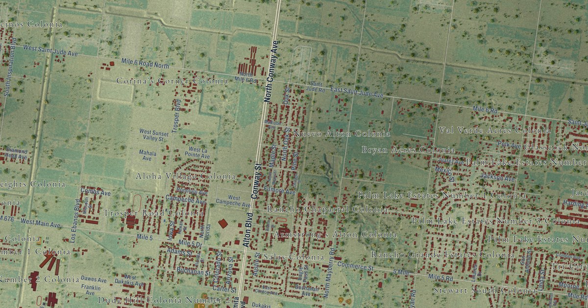
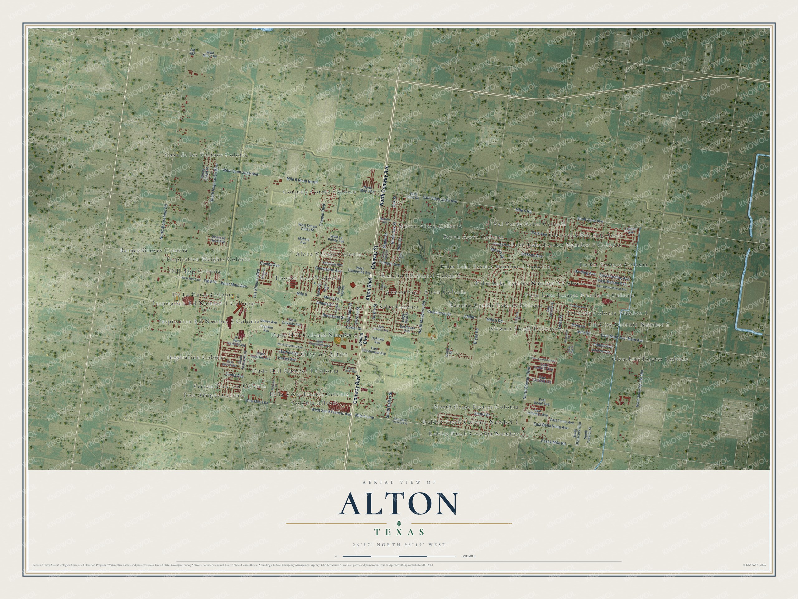
This beautifully detailed map of Alton, Texas was created in 2026 using aerial imagery combined with modern topographical, census, street and landmark data. It’s a one-of-a-kind view of Alton that combines accurate data with a vintage aesthetic. The map shows every building in its true location, many of the roads carry their names, and the shaded topographic relief shows the shape of the land.
Explore an aerial view of Alton, Texas
On the map you’ll find City of Alton, Aloha Village Colonia, Armstrong’s Alton Colonia, Barney Groves Colonia, Bella Vista Estates Colonia, Bryan Acres Colonia, Casa de los Vecinos Colonia, Colonia Allende, Corina’s Corner Colonia, De La Garza Colonia, Dude Hill Colonia Number 2, Dude Hill Number 1 Colonia, and more. If you look closely you can even find your house accurately drawn in its correct location. Zoom in on the preview to look for yours.
Did you know this piece of Alton, Texas history?
From the Handbook of Texas: "A sewage disposal plant, volunteer fire station, city hall, and community center were among the public buildings."
Take a closer look at the Alton map
Street and place names on the Alton, Texas map
These names are printed on the map of Alton, Texas.
Places: City of Alton, Aloha Village Colonia, Armstrong's Alton Colonia, Barney Groves Colonia, Bella Vista Estates Colonia, Bryan Acres Colonia, Casa de los Vecinos Colonia, Colonia Allende, Corina's Corner Colonia, De La Garza Colonia, Dude Hill Colonia Number 2, Dude Hill Number 1 Colonia, Glasscock North Colonia, Glenshire Estates Colonia, Hill-Top Colonia, Inspiration Colonia, Inspiration Heights Colonia, Inspiration Rd Number 1 Colonia, Inspiration Rd Number 2 Colonia, Jardin Terrace Colonia, North Cross Estates Colonia, Nuevo Alton Colonia, Palm Lake Estates Number 1 Colonia, Palm Lake Estates Number 2 Colonia, Palm Lake Estates Number 3 Colonia, Palm Lake Estates Number 4 Colonia, Rabbit Patch Colonia Number 1, Rabbit Patch Colonia Number 2, Rancho Chaparral Colonia, Rancho Grande Estates Colonia, Salas Colonia, Stewart South Colonia, Tres Amigos Colonia, Tri-City Colonia Number 1, Tri-City Colonia Number 2, Trosper Road Colonia, Val Verde Acres Colonia and Vereda Tropical Colonia.
Streets and roads: Alton Boulevard, North Conway Avenue, Conway Street, Conway Boulevard, Mile 4 Line, West Saint Francis Avenue, East 4 Mile Road, Mile Road, Mile 5 Road, Commerce Street, Mile 5 Drive, Mile 6 Road.
More street names, A to Z
5 Mile, Adams Avenue, Adams Street, Alamo Street, Andrew Avenue, Arizona Street, Austin Street, Bluebonnet Avenue, Bryan Road, Buchanan Avenue, Buchanan Street, Campeche Avenue, Carter Street, Chicago Street, Colorado Street, Combes Avenue, Combs Avenue, Dawes Avenue, Diamond Head Avenue, Dukakis Avenue, Eagle Pass Street, East Bella Vista Avenue, East Clinton Avenue, East Diamondhead Avenue, East Eisenhower Avenue, East Franklin Avenue, East Garfield Avenue, East Harding Avenue, East Imperial Oaks Drive, East Israel Avenue, East Jefferson Avenue, East Mahala Avenue, East Main Avenue, East Saint Francis Avenue, East Saint Jude Avenue, East Zinnia Avenue, Filmore Avenue, Florida Street, FM 492, FM 494, FM 676, Franklin Avenue, Garfield Street, Harding Avenue, Hawaii Street, Hayes Avenue, Honolulu Avenue, Iowa Street, Irving Street, Jackson Avenue, Juarez Avenue, Linares Drive, Lincoln Avenue, Linda Street, Lomita Boulevard, Los Ebanos Boulevard, Madison Avenue, Mahala Avenue, Main Avenue, Maple Street, Maryland Street, Mexico Street, Mile 5, Mile 6 Road North, Missouri Street, Monroe, North Florida, North Maple Street, North Mayberry Road, North Mile 6 Road, North Moorefield Road, North Oak Street, North Shary Road, North Stewart Boulevard, Oak Street, Pine Street, Polk Avenue, Rhode Island Street, Saint Jude Avenue, Saint Jude Road, San Antonio Street, South Alton Boulevard, South Dallas Street, South Glasscock Boulevard, South Inspiration Boulevard, South Nebraska Street, South Vega Street, South Yankton Street, Trosper Boulevard, West Campeche Avenue, West Dukakis Avenue, West Eisenhower Avenue, West Garfield Avenue, West Harrison Avenue, West Ignacio Avenue, West La Pointe Avenue, West Main Avenue, West Mile 4 Road, West Mile 5 Road, West Mile 7 Road, West Saint Jude Avenue, West Sunset Valley Street, West Sycamore Avenue, Zinnia Avenue, Zinnia Street.
See the Alton, Texas map on a wall
The Alton map as an 18 x 24 inch print in a black frame.

This beautifully detailed map of Alton makes an attractive addition to your office, library, or den, and it can even be used to teach children the geography and history of the area. It also makes a great gift for someone who left Alton and still calls it home. When you’re done exploring, click here to get your copy of the Alton map.