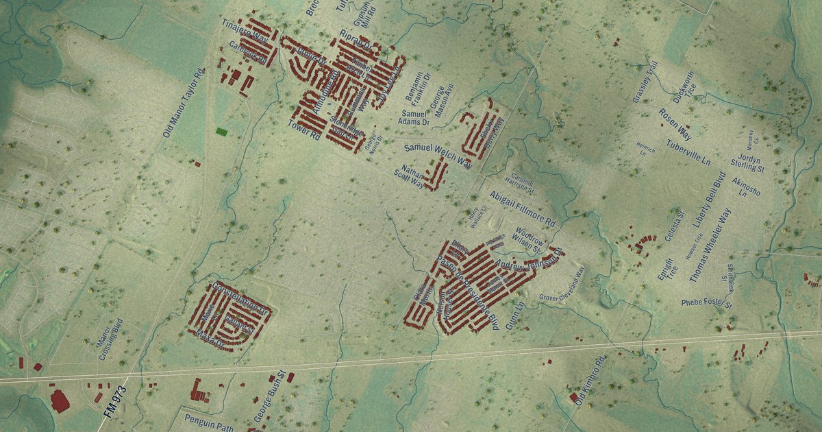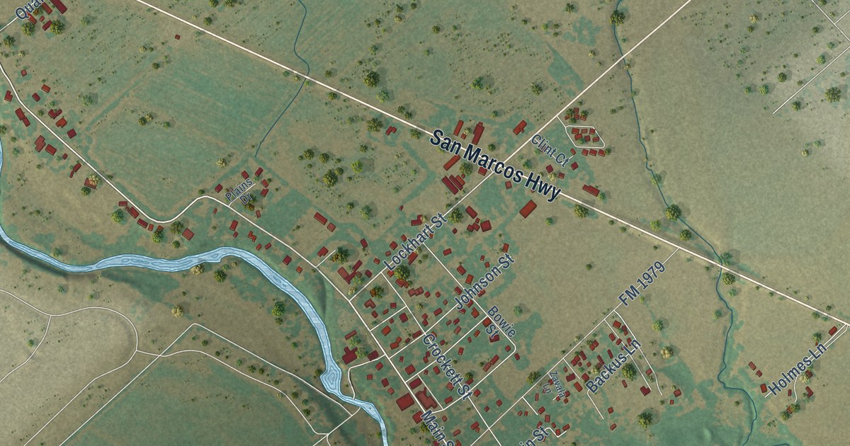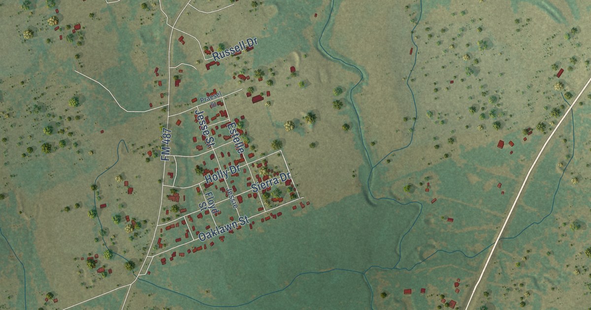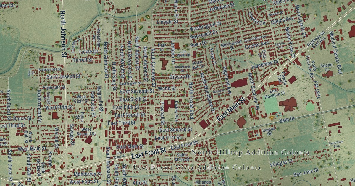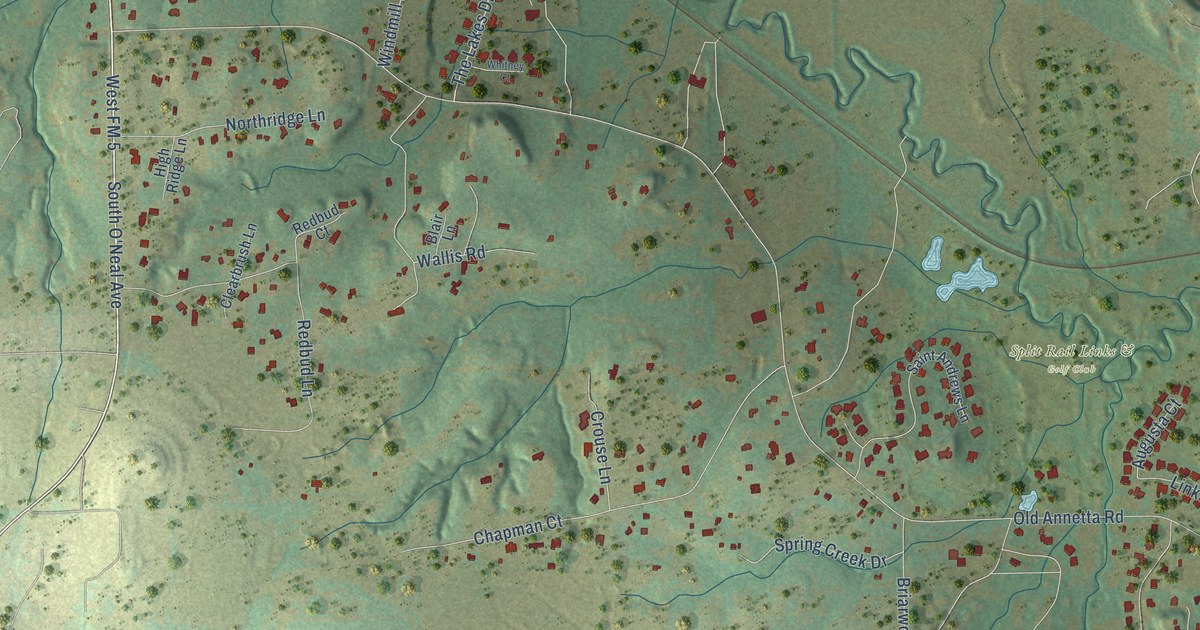
This beautifully detailed map of Annetta, Texas was created in 2026 using aerial imagery combined with modern topographical, census, street and landmark data. It’s a one-of-a-kind view of Annetta that combines accurate data with a vintage aesthetic. The map shows every building in its true location, many of the roads carry their names, and the shaded topographic relief shows the shape of the land.
Explore an aerial view of Annetta, Texas
On the map you’ll find Split Rail Links & Golf Club, Annetta North, and West FM 5, along with North O’Neal Avenue, South O’Neal Avenue, FM 5 West, FM 5, Rim Rock Lane, Old Annetta Road, Deer Creek Drive, Lakeview Drive, Rim Rock Road, and more. If you look closely you can even find your house accurately drawn in its correct location. Zoom in on the preview to look for yours.
Did you know this piece of Annetta, Texas history?
From the Handbook of Texas: "Fraser named his station Annetta after his daughter. In the early 1880s, after the tracks of the Texas and Pacific Railway passed near his station, Fraser built a general store on the rail line, and gradually a community developed at the site."
Take a closer look at the Annetta map
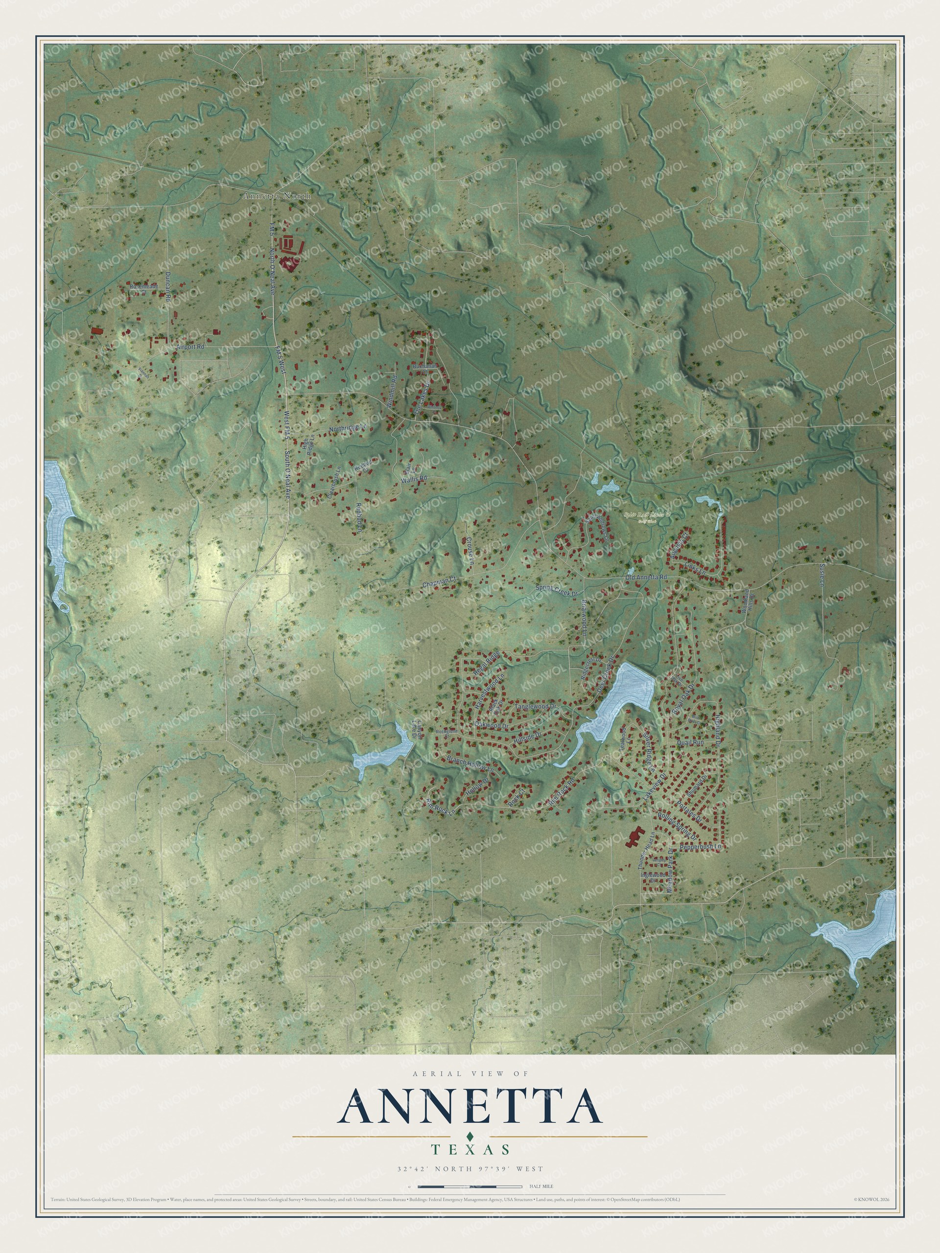
Street and place names on the Annetta, Texas map
These names are printed on the map of Annetta, Texas.
Places: Split Rail Links & Golf Club and Annetta North.
Streets and roads: North O'Neal Avenue, West FM 5, South O'Neal Avenue, FM 5 West, FM 5, Rim Rock Lane, Old Annetta Road, Deer Creek Drive, Lakeview Drive, Rim Rock Road, Wallis Road, Airport Road.
More street names, A to Z
Augusta Court, Black Oak Drive, Blair Lane, Branch Hollow Lane, Briarwood Lane, Buchanan Court, Canyon Lake Drive, Chapman Court, Clearbrush Lane, Crouse Lane, Duncan Road, Harvestwood Lane, Highland Drive, High Ridge Lane, Hillside Drive, Hollow Drive, Inglewood Drive, Langley Court, Links Lane, Live Oak Drive, Meadow Park Drive, Northridge Lane, Oakwood Drive, Pepperbush Lane, Portales Drive, Quail Run, Redbud Court, Redbud Lane, Regal Ridge, Ridgecrest Drive, Rock Court, Rockglenn Court, Rolling Spring Drive, Rosemeade Court, Royal Oak Drive, Saint Andrews Lane, Shumard Drive, Silver Ridge Lane, Spring Creek Drive, Susie Lane, Tanglewood Drive, Tealwood Lane, The Lakes Drive, Thunder Head Lane, Viannah Drive, Whitney Court, Wild Briar Court, Windmill Road, Woodland Hills Drive.
See the Annetta, Texas map on a wall
The Annetta map as an 18 x 24 inch print in a black frame.

This beautifully detailed map of Annetta makes an attractive addition to your office, library, or den, and it can even be used to teach children the geography and history of the area. It also makes a great gift for anyone with Annetta roots. When you’re done exploring, click here to get your copy of the Annetta map.