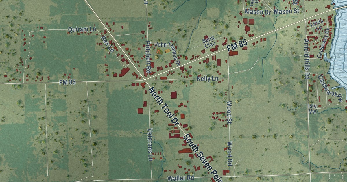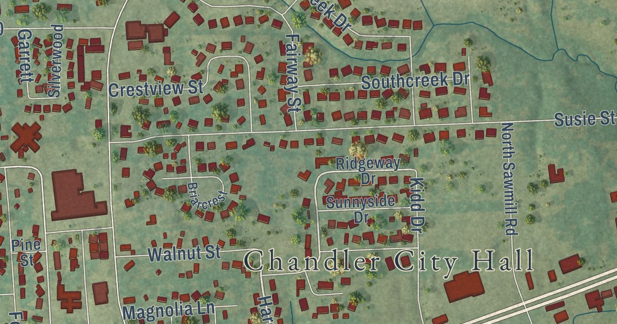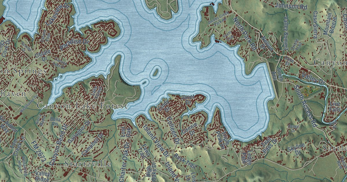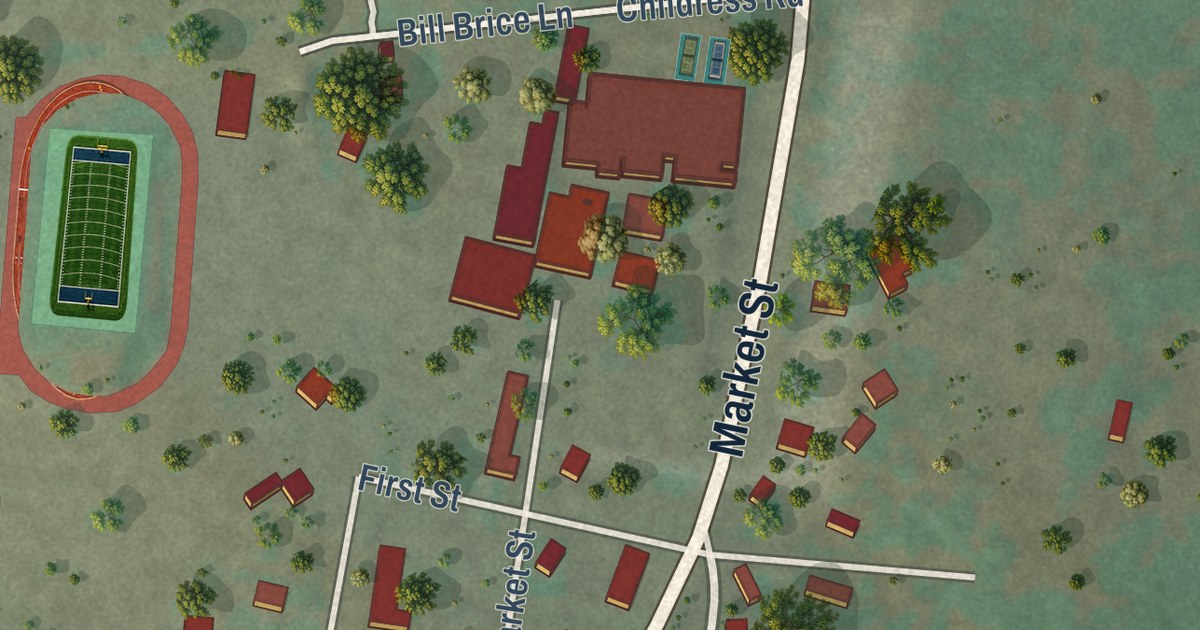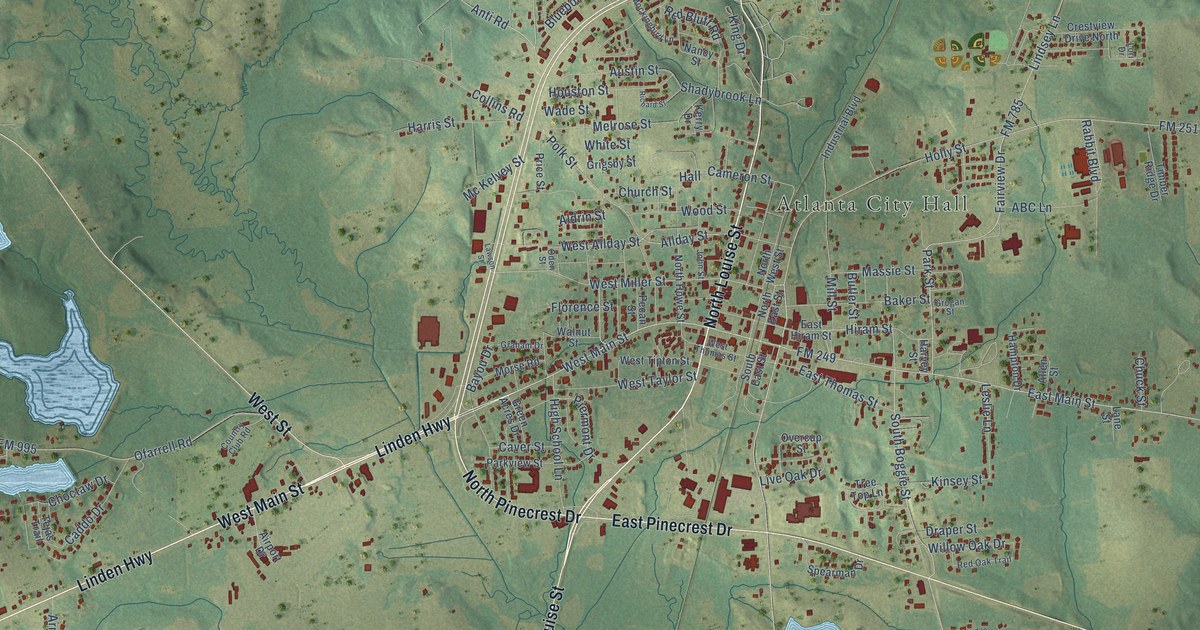
This beautifully detailed map of Atlanta, Texas was created in 2026 using aerial imagery combined with modern topographical, census, street and landmark data. It’s a one-of-a-kind view of Atlanta that combines accurate data with a vintage aesthetic. The map shows every building in its true location, many of the roads carry their names, and the shaded topographic relief shows the shape of the land.
Explore an aerial view of Atlanta, Texas
On the map you’ll find Atlanta City Hall, along with Linden Highway, West Main Street, South Louise Street, North Pinecrest Drive, East Pinecrest Drive, North Louise Street, West Street, FM 249, FM 251, East Main Street, South William Street, and more. If you look closely you can even find your house accurately drawn in its correct location. Zoom in on the preview to look for yours.
Did you know this piece of Atlanta, Texas history?
From the Handbook of Texas: "The town was established in 1871 with the building of the Texas and Pacific Railway and named for Atlanta, Georgia, former home of many early settlers."
Take a closer look at the Atlanta map
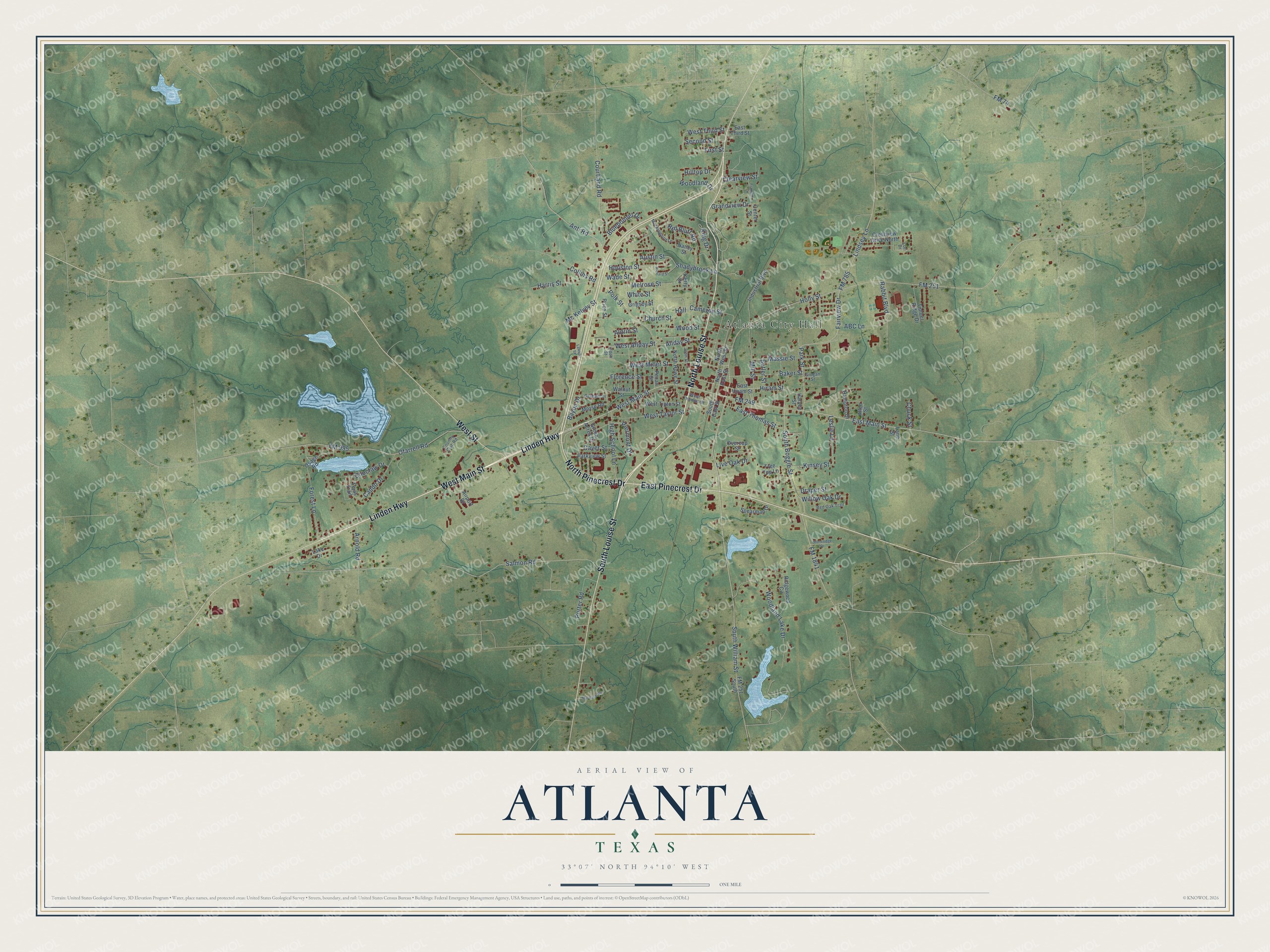
Street and place names on the Atlanta, Texas map
These names are printed on the map of Atlanta, Texas.
Places: Atlanta City Hall.
Streets and roads: Linden Highway, West Main Street, South Louise Street, North Pinecrest Drive, East Pinecrest Drive, North Louise Street, West Street, FM 249, FM 251, East Main Street, South William Street, Forest Lane.
More street names, A to Z
ABC Lane, Airport Drive, Aldrin Street, Allday Street, Allen Street, Anti Road, Arnold Road, Austin Street, Baker Street, Bayou Drive, Bluebonnet Drive, Butler Street, Caddo Drive, Cameron Street, Caver Street, Center Street, Choctaw Drive, Chuck Street, Church Street, Clearview Street, Collins Road, Country Club Road, Courtland Road, Crestview Drive North, Draper Street, East Hiram Street, East Third Street, East Thomas Street, Fairview Drive, First Street, Florence Street, FM 74, FM 251 South, FM 785, FM 995, FM 1841, Franklin Drive, Graham Drive, Grandview Drive, Green Acres Drive, Grigsby Street, Grogan Street, Hall, Hampton Drive, Harris Street, Harvey Street, High School Lane, Hilltop Drive, Hiram Street, Holly Street, Houston Street, Industrial Boulevard, John Street, Kerry Drive, King Drive, Kinsey Street, Lake Drive, Lane Street, Lawson Street, Leslie Lane, Lindsey Lane, Live Oak Drive, Lori Drive, Massie Street, Mc Kelvey Street, Melrose Street, Mill Street, Mockingbird Lane, Morse Road, Murdock Road, Nancy Street, North East Street, North Howe Street, North West Street, Oden Street, Ofarrell Road, Osage Road, Overcup Street, Park Street, Parkview Street, Pecan Street, Piermont Drive, Polk Street, Porter Road, Price Street, Rabbit Boulevard, Red Bluff Road, Red Oak Trail, Richard Street, Ridgewood Circle, Salmon Road, Second Street, Shadybrook Lane, South Boggie Street, South East Street, Spearman Drive, Stoneridge Drive, Tejas Trail, Timber Ridge Drive, Tree Top Lane, Wade Street, Walnut Street, West Allday Street, West Miller Street, West Taylor Street, West Third Street, West Thomas Street, West Tipton Street, White Street, Willow Oak Drive, Woodland Drive, Woodland Lake Drive, Wood Street.
See the Atlanta, Texas map on a wall
The Atlanta map as an 18 x 24 inch print in a black frame.

This beautifully detailed map of Atlanta makes an attractive addition to your office, library, or den, and it can even be used to teach children the geography and history of the area. It also makes a great gift for anyone who grew up in Atlanta or moved away. When you’re done exploring, click here to get your copy of the Atlanta map.