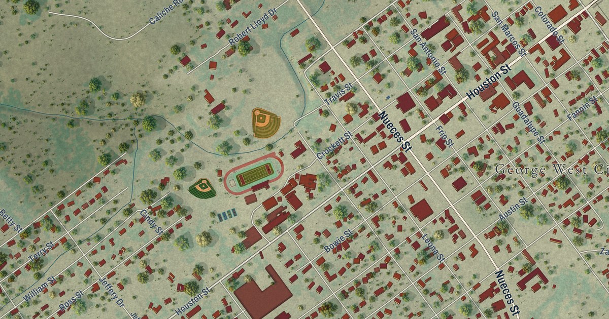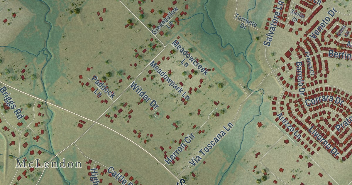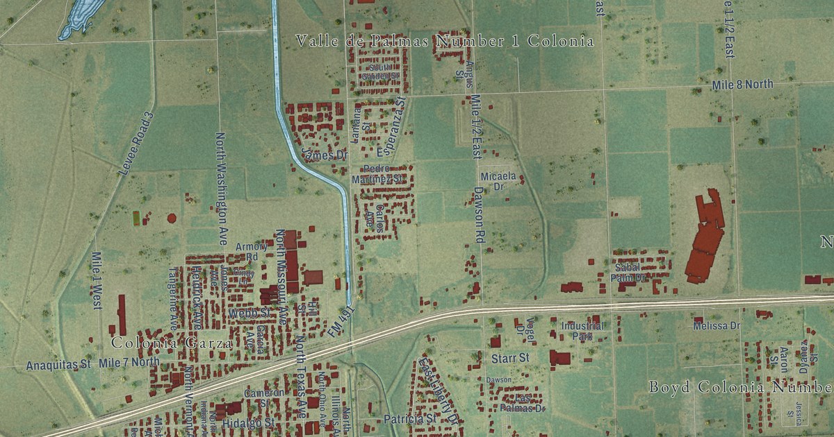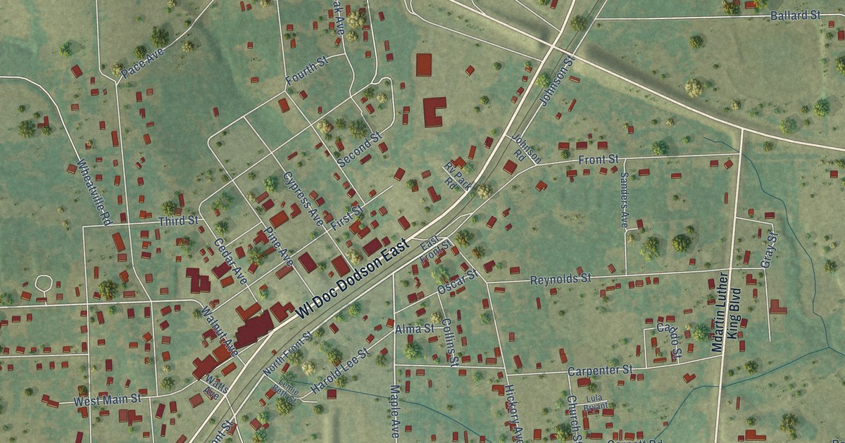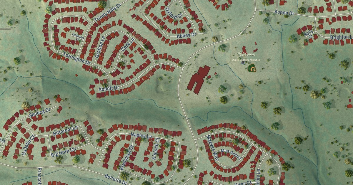
This beautifully detailed map of Belterra, Texas was created in 2026 using aerial imagery combined with modern topographical, census, street and landmark data. It’s a one-of-a-kind view of Belterra that combines accurate data with a vintage aesthetic. The map shows every building in its true location, many of the roads carry their names, and the shaded topographic relief shows the shape of the land.
Explore an aerial view of Belterra, Texas
On the map you’ll find Belterra Recreation Center, along with West Highway 290, Belterra Drive, Mesa Verde Drive, Trinity Hills Drive, Catalina Lane, Harris Drive, Aspen Drive, Naples Lane, Mendocino Lane, Merion Drive, Brentwood Drive, and more. If you look closely you can even find your house accurately drawn in its correct location. Zoom in on the preview to look for yours.
Take a closer look at the Belterra map
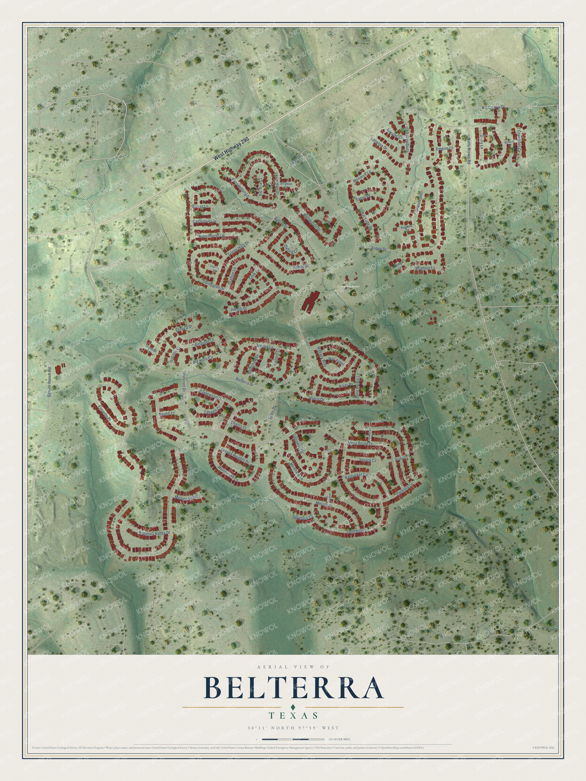
Street and place names on the Belterra, Texas map
These names are printed on the map of Belterra, Texas.
Places: Belterra Recreation Center.
Streets and roads: West Highway 290, Belterra Drive, Mesa Verde Drive, Trinity Hills Drive, Catalina Lane, Harris Drive, Aspen Drive, Naples Lane, Mendocino Lane, Merion Drive, Brentwood Drive, Manchester Lane.
More street names, A to Z
Abbey Drive, Abbott Drive, Alaina Court, Angelina Valley Drive, Aruba Lane, Atwater Cv, Big Horn Circle, Bitteroot Lane, Bolton Drive, Bradshaw Drive, Brighton Lane, Canterbury Drive, Challis Court, Chancery Court, Cork Lane, Corsica Lane, Crampton Cv, Dorset Lane, Drennan Lane, Drury Lane, Eaton Lane, Empire Court, Encanto Place, Estes Drive, Gallatin Court, Galloway Lane, Grafton Lane, Granite Lane, Holly Court, Holton Drive, Kensington Lane, Kinloch Court, Kiras Court, Kit Carson Drive, Lavaca Heights Drive, Lexington Drive, Littleton Drive, Longmont Lane, Maeves Way, Medina Hills Court, Mirafield Lane, Miss Ashley, Monarch Lane, Nantucket Circle, Noahs Court, Nutty Brown Road, Oxford Court, Pagosa Court, Palisade Drive, Prescott Drive, Saint Richie Lane, Sand Hills Lane, Sanford Lane, Sawyer Ranch Road, Seneca Drive, Spyglass Cv, Stratton Court, Tabago Court, Torrington Drive, Venice Cv, Victoria Court, Wellington Drive.
See the Belterra, Texas map on a wall
The Belterra map as an 18 x 24 inch print in a black frame.

This beautifully detailed map of Belterra makes an attractive addition to your office, library, or den, and it can even be used to teach children the geography and history of the area. It also makes a great gift for anyone with Belterra roots. When you’re done exploring, click here to get your copy of the Belterra map.