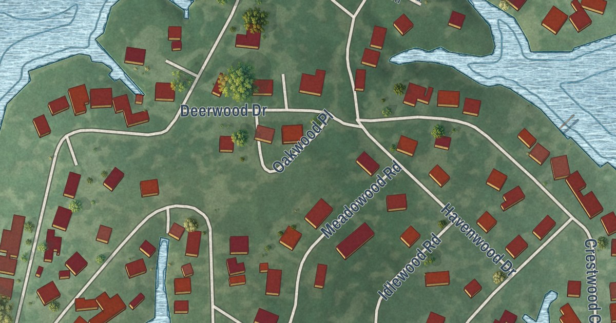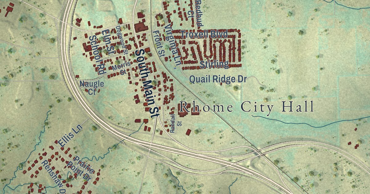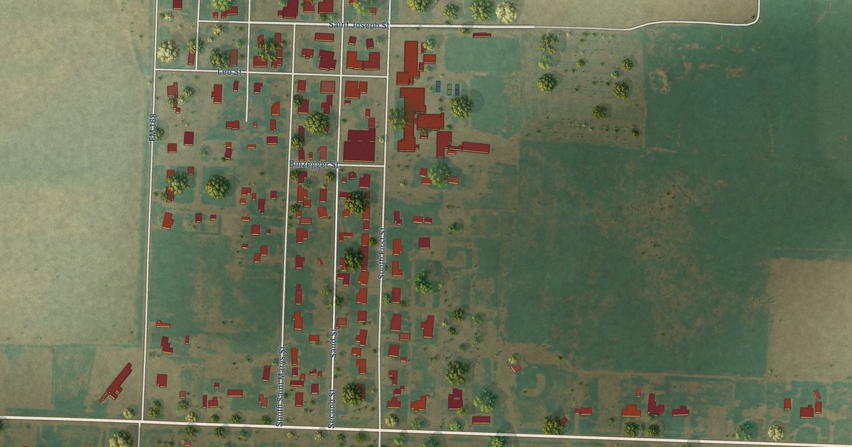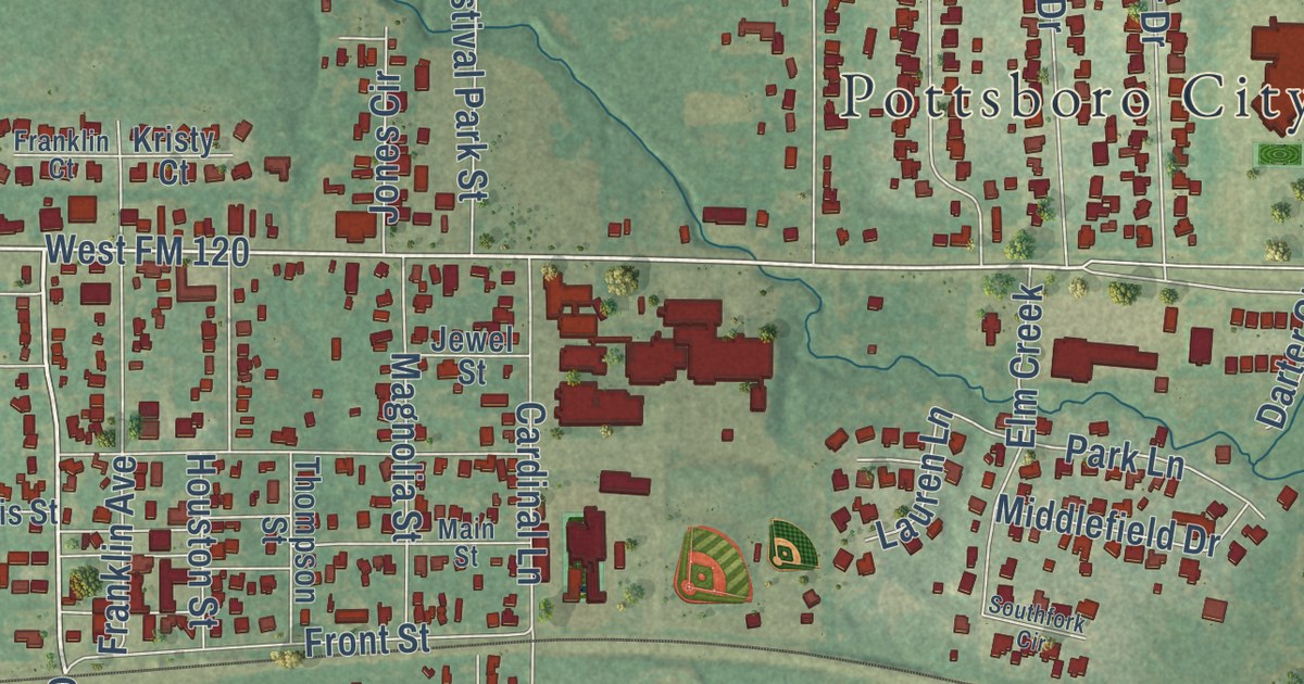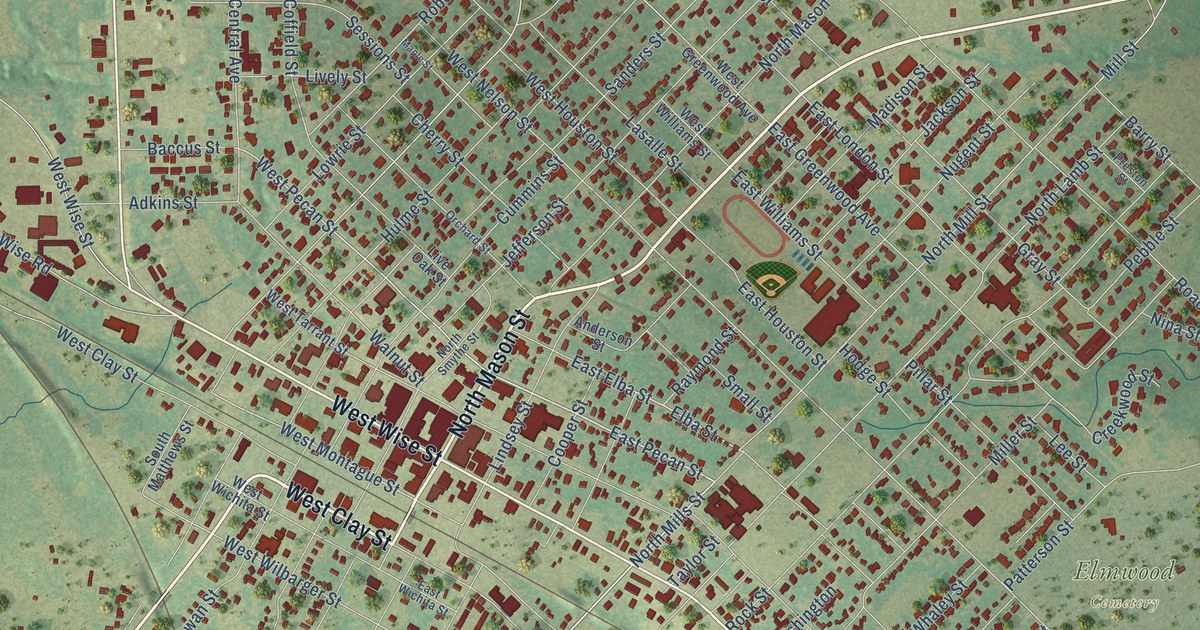
This beautifully detailed map of Bowie, Texas was created in 2026 using aerial imagery combined with modern topographical, census, street and landmark data. It’s a one-of-a-kind view of Bowie that combines accurate data with a vintage aesthetic. The map shows every building in its true location, many of the roads carry their names, and the shaded topographic relief shows the shape of the land.
Explore an aerial view of Bowie, Texas
On the map you’ll find Elmwood Cemetery and Pelham Park, along with West Clay Street, East Wise Street, West Wise Street, North Mason Street, FM 1125, East Pecan Street, North Mills Street, Decatur Street, West Pecan Street, South Mill Street, and more. If you look closely you can even find your house accurately drawn in its correct location. Zoom in on the preview to look for yours.
Did you know this piece of Bowie, Texas history?
From the Handbook of Texas: "In 1882, when the tracks of the Fort Worth and Denver Railway were built through the area, local settlers who had been there since the early 1860s moved to the site of the construction camps, and soon businesses appeared in canvas tents."
Take a closer look at the Bowie map
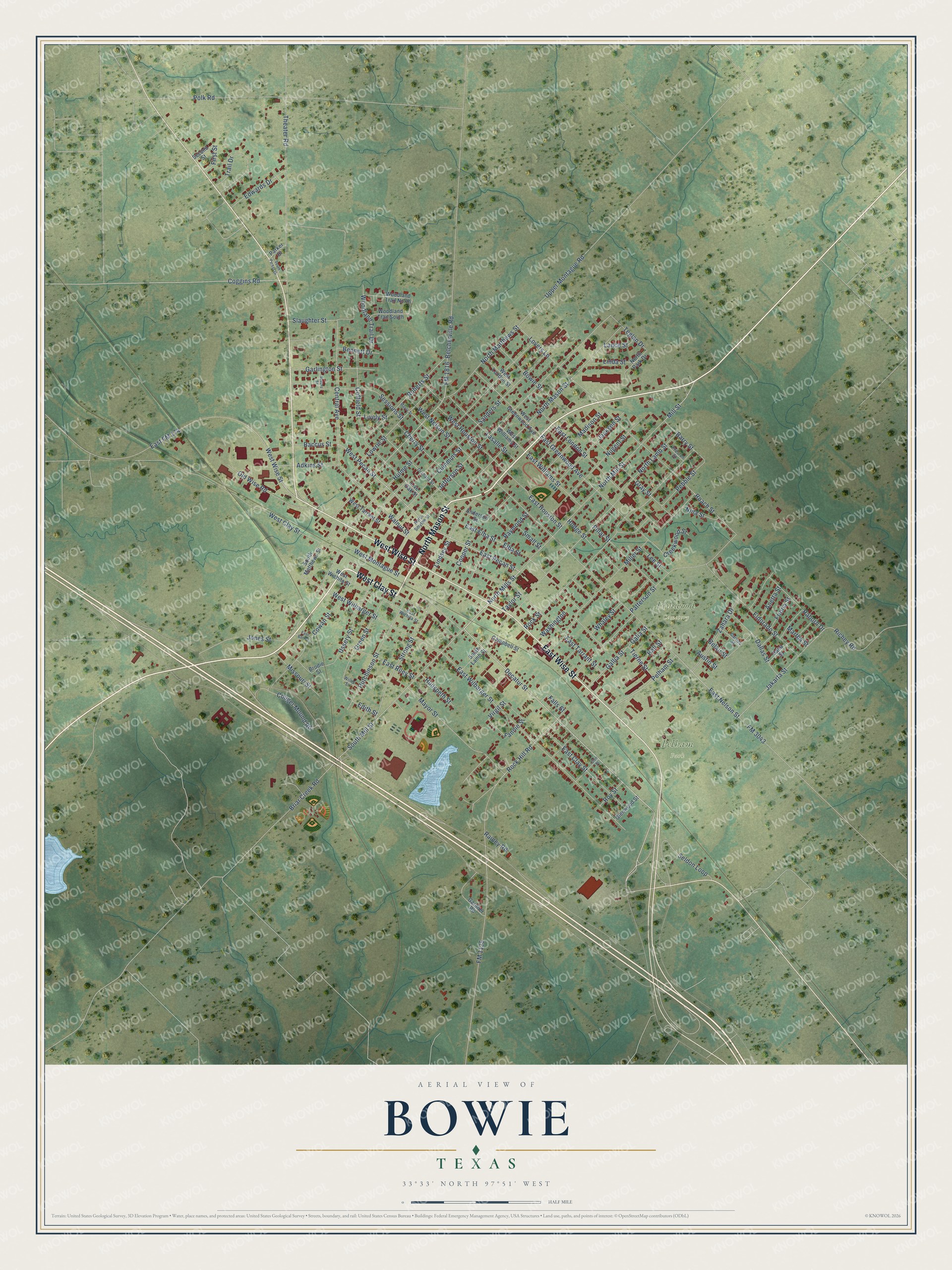
Street and place names on the Bowie, Texas map
These names are printed on the map of Bowie, Texas.
Places: Elmwood Cemetery and Pelham Park.
Streets and roads: West Clay Street, East Wise Street, West Wise Street, North Mason Street, FM 1125, East Pecan Street, North Mills Street, Decatur Street, West Pecan Street, South Mill Street, West Montague Street, First Street.
More street names, A to Z
Adkins Street, Anderson Street, Anetta Street, Austin Street, Baccus Street, Barry Street, Belair Street, Belcherville Road, Bennett Drive, Bowie Street, Briar Creek Road, Brodie Street, Campbell Street, Carrizo Street, Central Avenue, Cherry Street, Coffield Street, Coggins Road, Cooper Street, Couger Mound Road, Cowan Street, Creekwood Street, Cummins Street, Dallas Street, Dana Street, East Barker, East Clay Street, East Elba Street, East FM 174, East Greenwood Avenue, East Houston Street, East London Street, East Nelson Street, East Riley Street, East Tarrant Street, East Wichita Street, East Wilbarger Street, East Williams Street, Edith Street, Edwards Drive, Elba Street, Eldorado Street, Falls Street, Fannie Street, FM 1816, FM 3043, Friona Street, Galia Street, Gallia Street, Gardner Road, Garlington Street, Glen Street, Glenwood Street, Gray Street, Green Street, Hall Street, Hodge Street, Hudspeth Street, Hulme Street, Hutchinson Street, Jackson Street, Jakarta Street, Jefferson Street, Jones Street, Lance Street, Lasalle Street, Lee Street, Linda Street, Lindsey Street, Lively Street, Live Oak Street, Lovers Lane, Lowrie Street, Madison Street, Maple Street, Martha Street, Mayor Street, Miller Street, Mill Street, Missouri Street, Nina Street, North Lamb Street, North Matthews Street, North Mill Street, North Park Drive, North Smythe Street, Nugent Street, Old Wise Road, Orchard Street, Parker Drive, Patterson Street, Pebble Street, Pelham Street, Pillar Street, Polk Road, Preston Street, Raborn Drive, Rainey Road, Raymond Street, Richey Road, Roach Street, Roberts Street, Rock Hill Road, Rock Street, Roy Street, Sanders Street, Second Street, Seldon Loop, Sessions Street, Slaughter Street, Small Street, South Lamb Street, South Matthews Street, South Parker Drive, Spears Street, Strong Street, Taylor Street, Teglan Drive, Theater Road, Tierne Street, Trail Drive, Upper Montague Road, Ussery Street, Virgil Street, Walnut Street, Washington, West Greenwood Avenue, West Houston Street, West London Street, West Nelson Street, West Tarrant Street, West Wichita Street, West Wilbarger Street, West Williams Street, Whaley Street, Willis Street, Woodland Trail Drive, Woodland Trail North, Woodland Trail South, Zahara Drive.
See the Bowie, Texas map on a wall
The Bowie map as an 18 x 24 inch print in a black frame.

This beautifully detailed map of Bowie makes an attractive addition to your office, library, or den, and it can even be used to teach children the geography and history of the area. It also makes a great gift for someone who left Bowie and still calls it home. When you’re done exploring, click here to get your copy of the Bowie map.