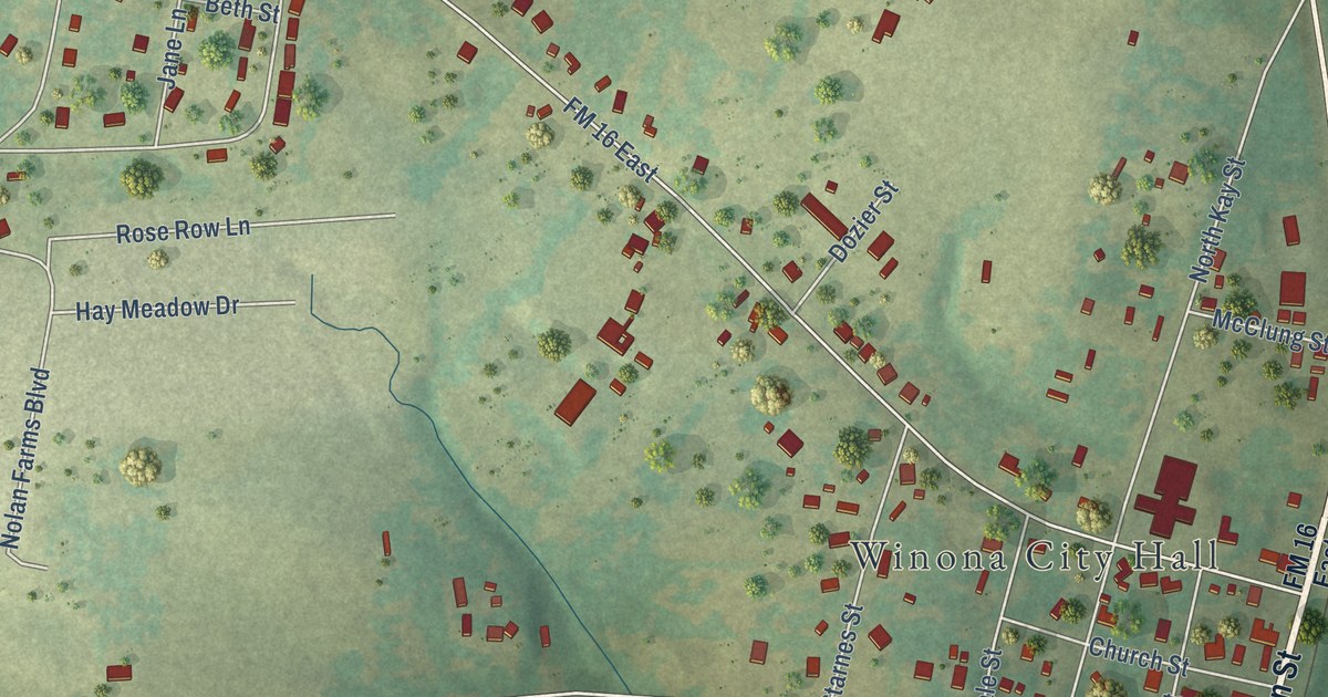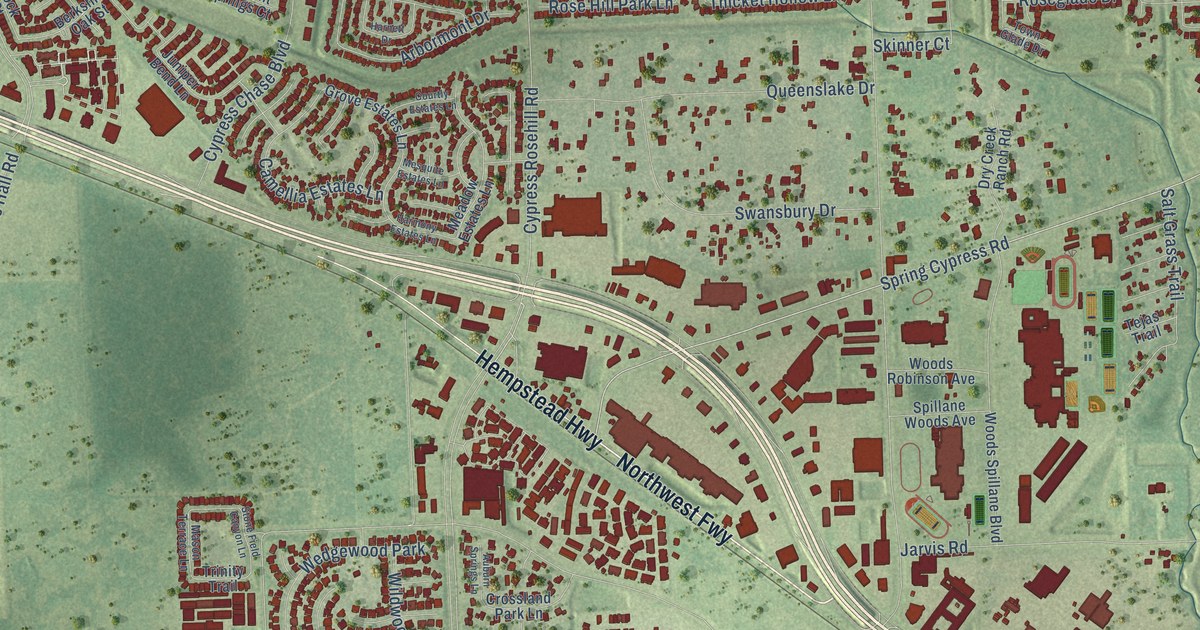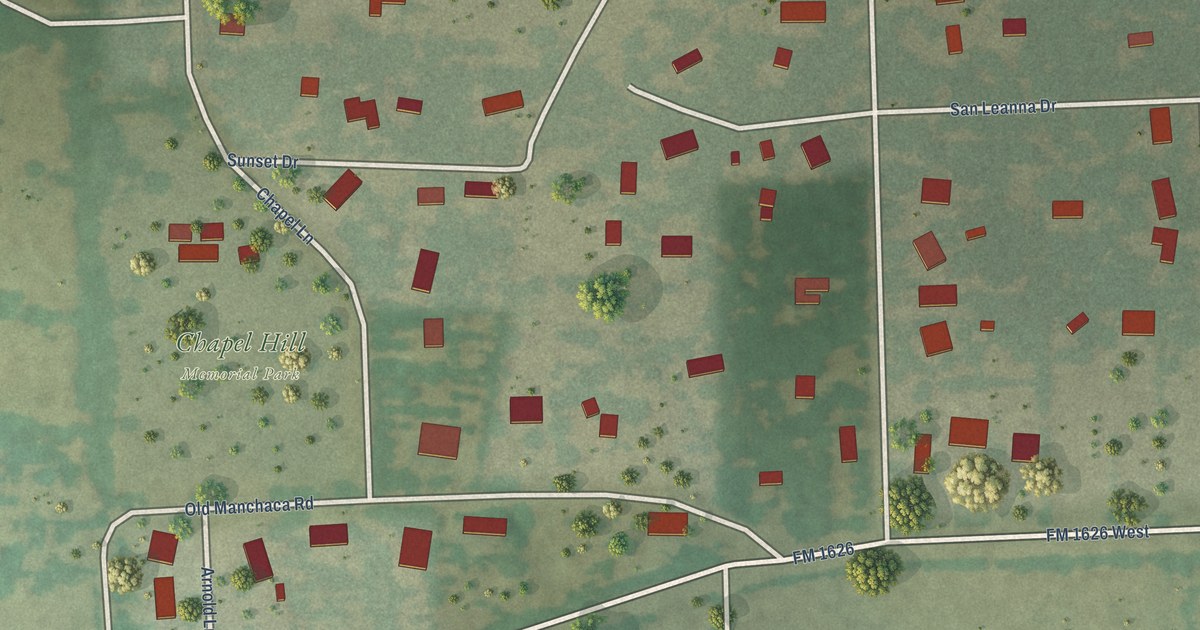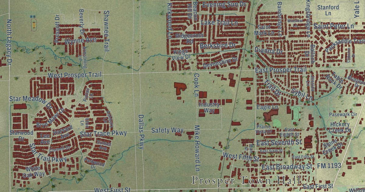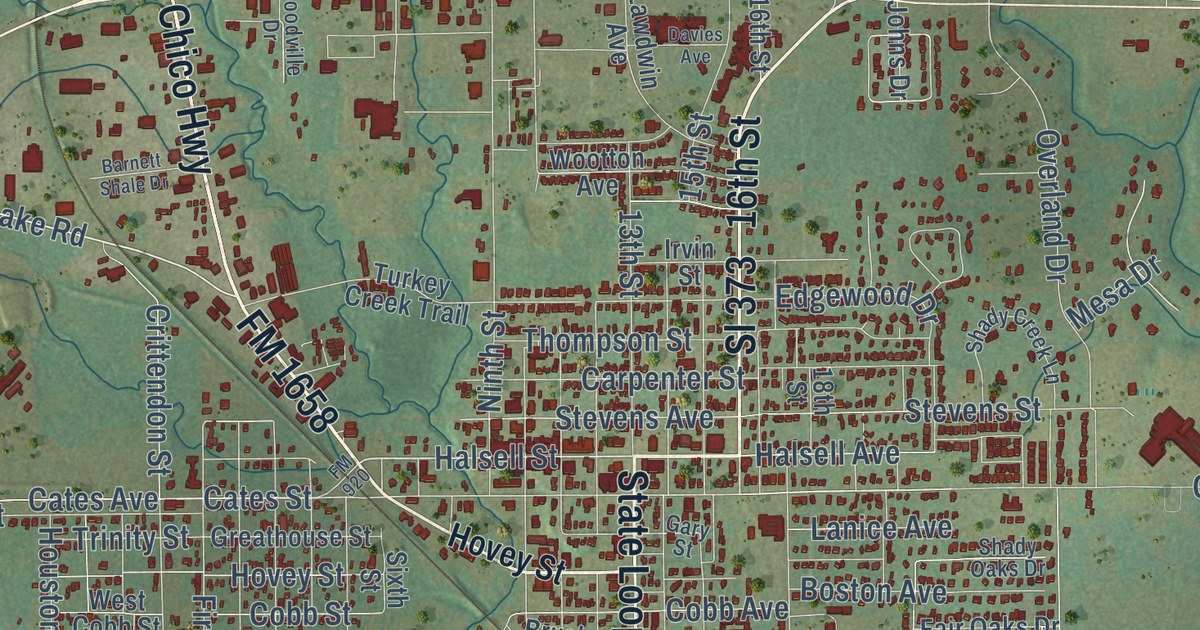
This beautifully detailed map of Bridgeport, Texas was created in 2026 using aerial imagery combined with modern topographical, census, street and landmark data. It’s a one-of-a-kind view of Bridgeport that combines accurate data with a vintage aesthetic. The map shows every building in its true location, many of the roads carry their names, and the shaded topographic relief shows the shape of the land.
Explore an aerial view of Bridgeport, Texas
On the map you’ll find Rickels and Sl 373, along with Chico Highway, FM 1658, State Loop 373, 16th Street, Halsell Street, Cates Avenue, Cates Street, Halsell Avenue, Stevens Street, Stevens Avenue, and more. If you look closely you can even find your house accurately drawn in its correct location. Zoom in on the preview to look for yours.
Did you know this piece of Bridgeport, Texas history?
From the Handbook of Texas: "The railroad established Bridgeport as an retail center for area cattle ranchers and dairy farmers."
Take a closer look at the Bridgeport map
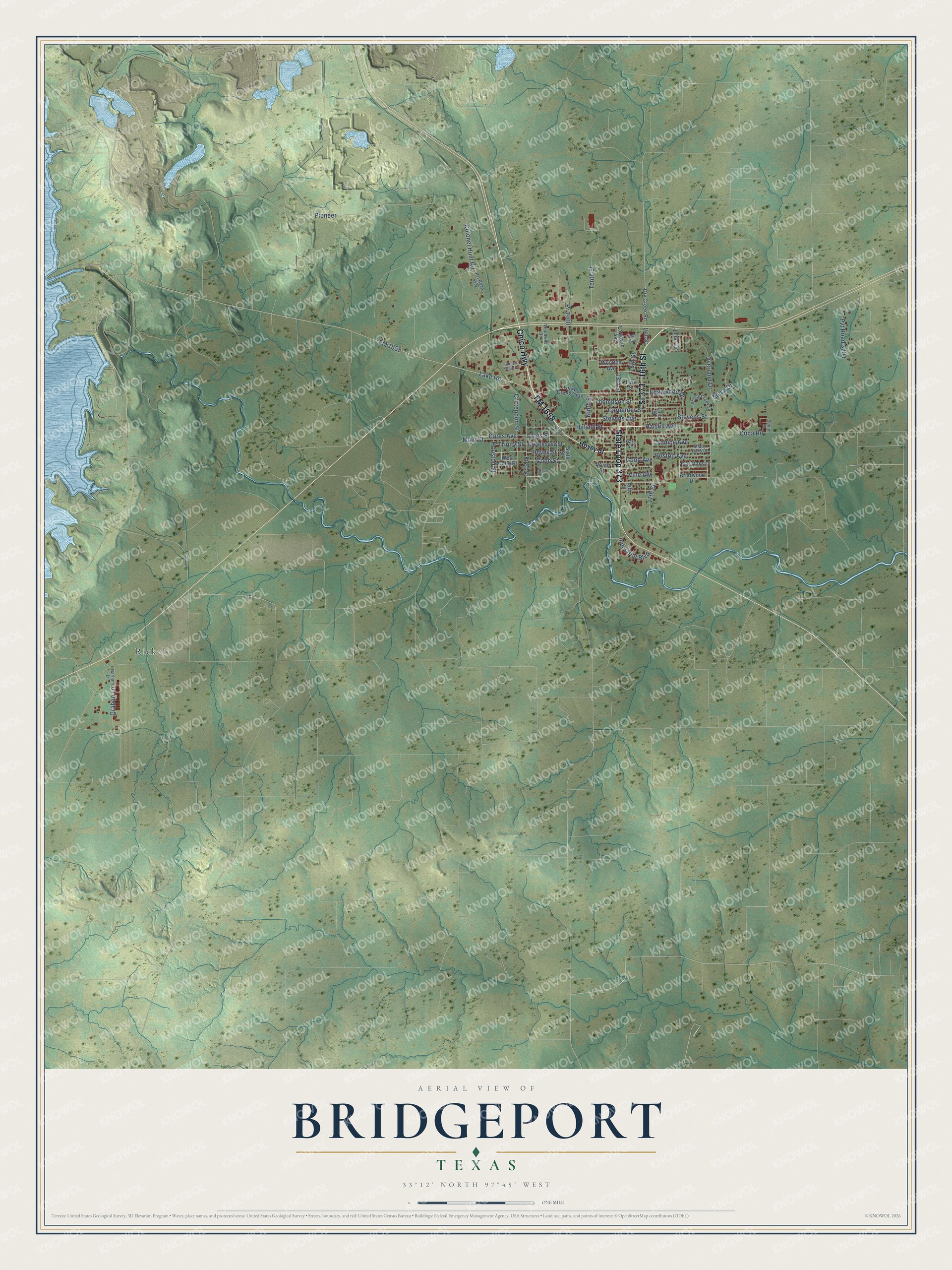
Street and place names on the Bridgeport, Texas map
These names are printed on the map of Bridgeport, Texas.
Places: Rickels.
Streets and roads: Chico Highway, FM 1658, Sl 373, State Loop 373, 16th Street, Halsell Street, Cates Avenue, Cates Street, Halsell Avenue, Stevens Street, Stevens Avenue, First Street.
More street names, A to Z
13th Street, 14th Street, 15th Street, 17th Street, 18th Street, Barham Lane, Barnett Shale Drive, Boston Avenue, Briarwood Drive, Brush Street, Carpenter Street, Cobb Avenue, Cobb Street, Colonel Hunt Road, Crittendon Street, Cuba Road, Davies Avenue, Dry Creek Road, Edgewood Drive, Fair Oaks Drive, FM 920, Gary Street, Graben Lane, Greathouse Street, Houston Street, Hovey Street, Industrial Boulevard, Irvin Street, Johns Drive, Lake Road, Lanice Avenue, Lawdwin Avenue, Main Street, Mesa Drive, Ninth Street, Overland Drive, Pioneer, Pr 1400, Pvt Road 1532, Pvt Road 3204, Senior Place, Shady Creek Lane, Shady Oaks Drive, Sixth Street, Tenth Street, Third Street, Thompson Street, Trinity Street, Turkey Creek Trail, Vine Avenue, West Cobb Street, Woodville Drive, Wootton Avenue.
See the Bridgeport, Texas map on a wall
The Bridgeport map as an 18 x 24 inch print in a black frame.

This beautifully detailed map of Bridgeport makes an attractive addition to your office, library, or den, and it can even be used to teach children the geography and history of the area. It also makes a great gift for anyone with Bridgeport roots. When you’re done exploring, click here to get your copy of the Bridgeport map.