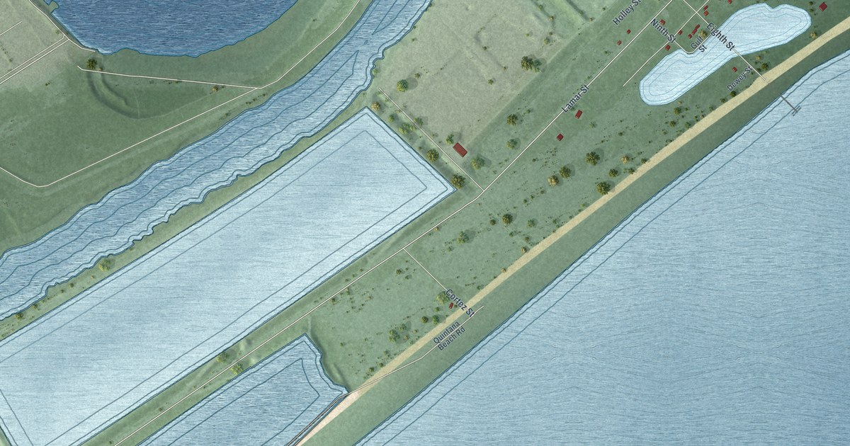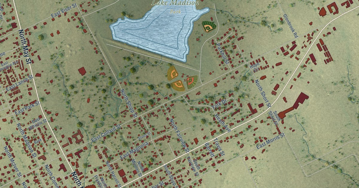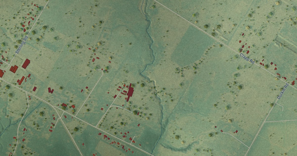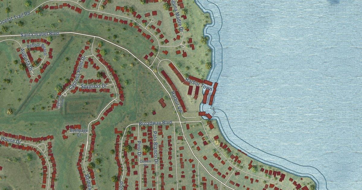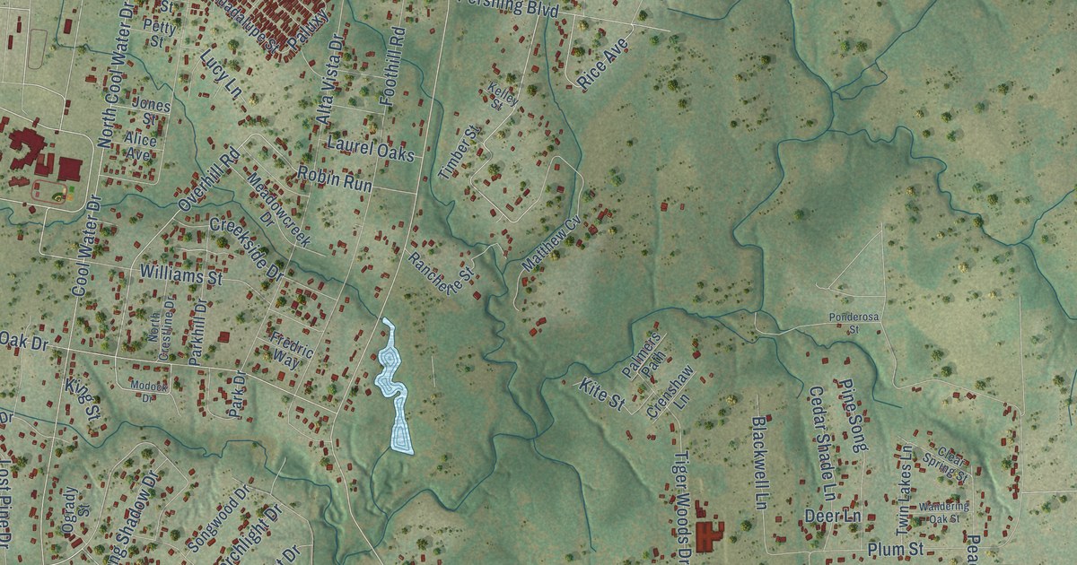
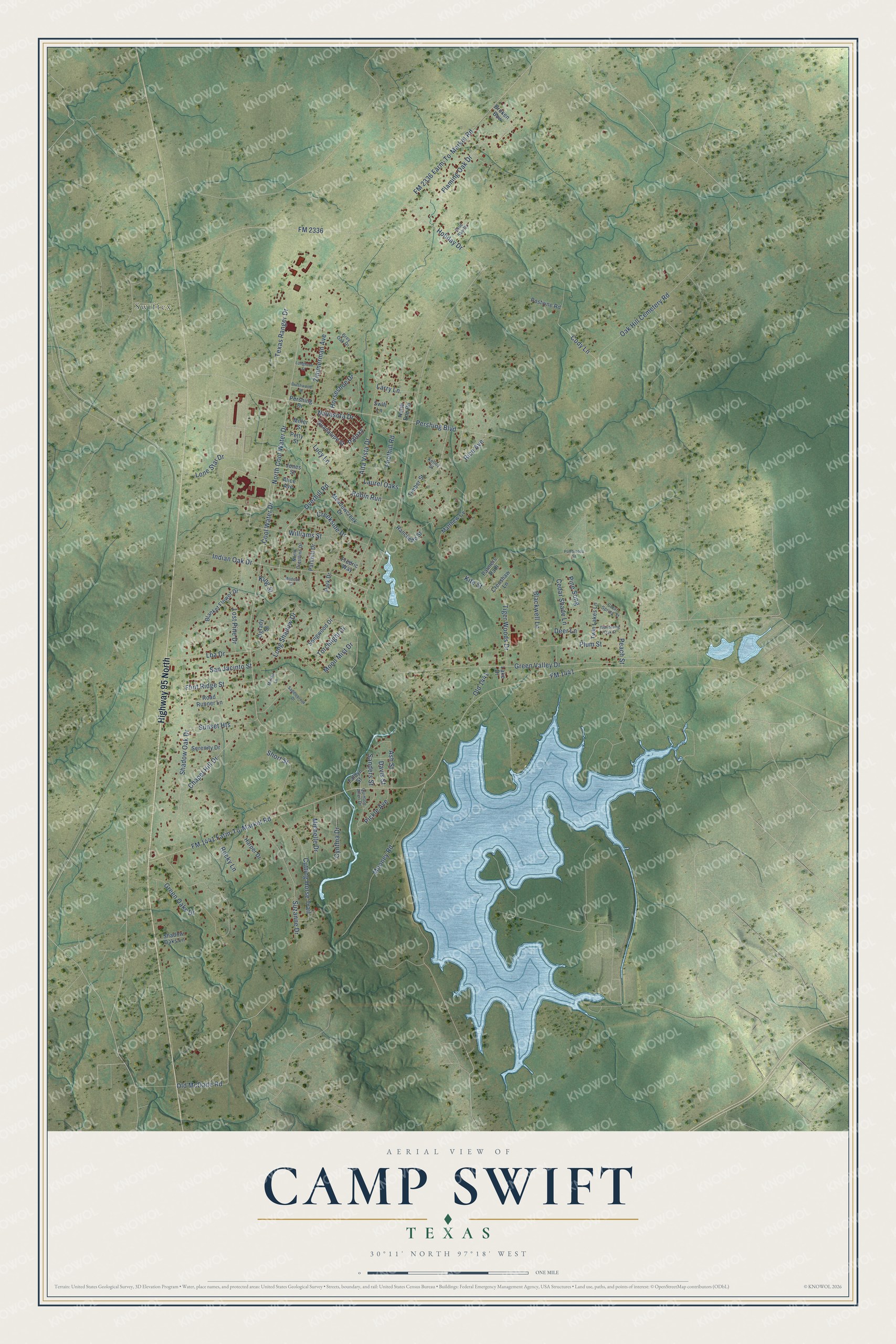
This beautifully detailed map of Camp Swift, Texas was created in 2026 using aerial imagery combined with modern topographical, census, street and landmark data. It's a modern aerial view of Camp Swift in Bastrop County, Texas, that combines modern data with a vintage aesthetic. The roads feature printed names, and if you look closely you can find your exact house accurately shown in its correct location.
Explore an aerial view of Camp Swift, Texas
On this map you'll find Swiftex, Highway 95 North, Overhill Road, FM 1441, Robin Run, Green Valley Drive, Moon Mist Drive, Oak Hill Cemetery Road, Lba Drive, Paluxy, North Cool Water Drive, FM 1441 Farm-To-Market Road, and more. Each red shape is a building, so zoom in on the preview and look for yours.
Camp Swift has a story worth telling. Camp Swift was built in just four months in 1942, on 55,906 acres of Bastrop County land that had held scattered homesteads and hamlets. It was named for Eben Swift, a commander in the First World War and an author, and at its peak it held 90,000 troops. After the war some of the land went back to its former owners. The government kept about 11,500 acres as a military reservation. That's from the Handbook of Texas.
Camp Swift is a community in Bastrop County. The Census Bureau counted 7,943 people here in 2020.
Take a closer look at the Camp Swift map
Names on this map
These names are printed on this map.
Places: Swiftex.
Streets and roads: Highway 95 North, Overhill Road, FM 1441, Robin Run, Green Valley Drive, Moon Mist Drive, Oak Hill Cemetery Road, Lba Drive, Paluxy, North Cool Water Drive, FM 1441 Farm-To-Market Road, Cool Water Drive.
More street names, A to Z
Alice Avenue, Alta Vista Drive, Ash Street, Blackwell Lane, Blanket Flower Drive, Blue Sky Drive, Broken Bow, Brushwood Street, Cedar Shade Lane, Chapel Hill Drive, Clear Spring Street, Cody Lane, Creekside Drive, Crenshaw Lane, Cutting Horse Trail, Cynthia Drive, Davis Street, Deer Lane, Faldyn Street, Flaming Oak Drive, Flint Ridge Street, FM 2336, FM 2336 Farm-To-Market Road, Foothill Road, Fredric Way, Green Oaks Drive, Grey Oak Drive, Guadalupe Street, Harper Drive, Holiday Drive, Horseshoe Drive, Indian Oak Drive, Jones Street, Kelley Street, King Street, Kite Street, Lake Drive, Larry Lane, Laurel Oaks, Lone Star Drive, Longhorn Street, Long Shadow Drive, Lost Pine Drive, Lucy Lane, Martha Lane, Matthew Cv, Meadowcreek Drive, Michelle Drive, Miller Street, Modock Drive, Mooney Road, Navasota Drive, North Crestline Drive, North End Road, Ogrady Street, Old 1441, Old McDade Road, Palmers Path, Park Drive, Parkhill Drive, Peach Street, Pershing Boulevard, Pershing Drive, Petty Street, Pickle Avenue, Pine Song, Plum Street, Ponderosa Street, Postvine Road, Quinton Allen Drive, Ranchette Street, Rice Avenue, Road Runner Lane, Rocky Lane, Saddlebrook Drive, Sanders Street, San Jacinto Street, Serenity Drive, Shadow Oak Drive, Shadow Oaks Lane, Short Street, Songwood Drive, Sunset Heights, Suzanne Drive, Swift Lane, Texas Ranger Drive, Tiger Woods Drive, Timber Street, Torchlight Drive, Twin Lakes Lane, Wandering Oak Street, Williams Street, Zimmerman Avenue.
See it on a wall
The Camp Swift map as a framed print. Swipe for more.


Created by KNOWOL in 2026. The buildings are small red shapes, the roads carry their printed names, and shaded relief shows the shape of the land. The title panel reads "AERIAL VIEW OF CAMP SWIFT, TEXAS" with 30°11' NORTH 97°18' WEST.
It looks right in a kitchen, an office or a den, and it's a gift for anyone who grew up in Camp Swift or moved away. Open the preview and find your street. See sizes and frames for the Camp Swift map.