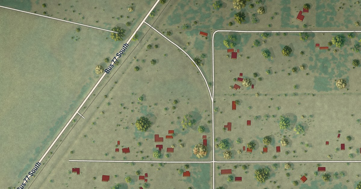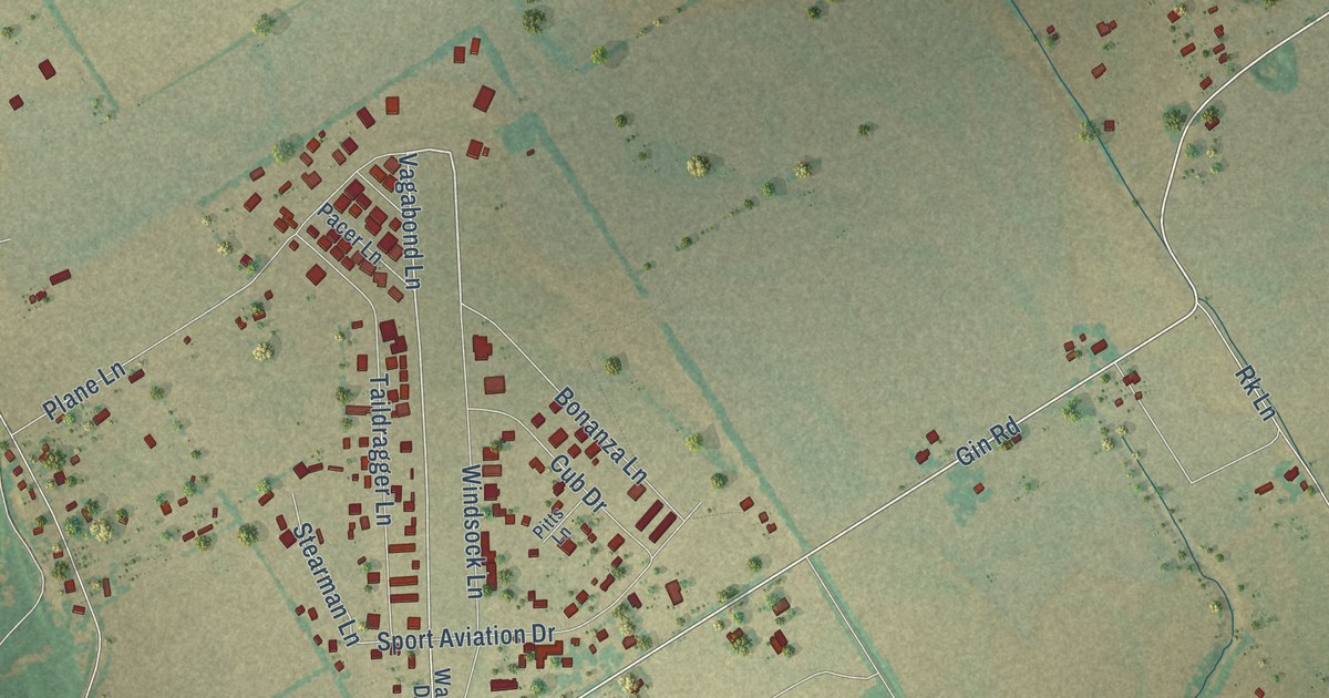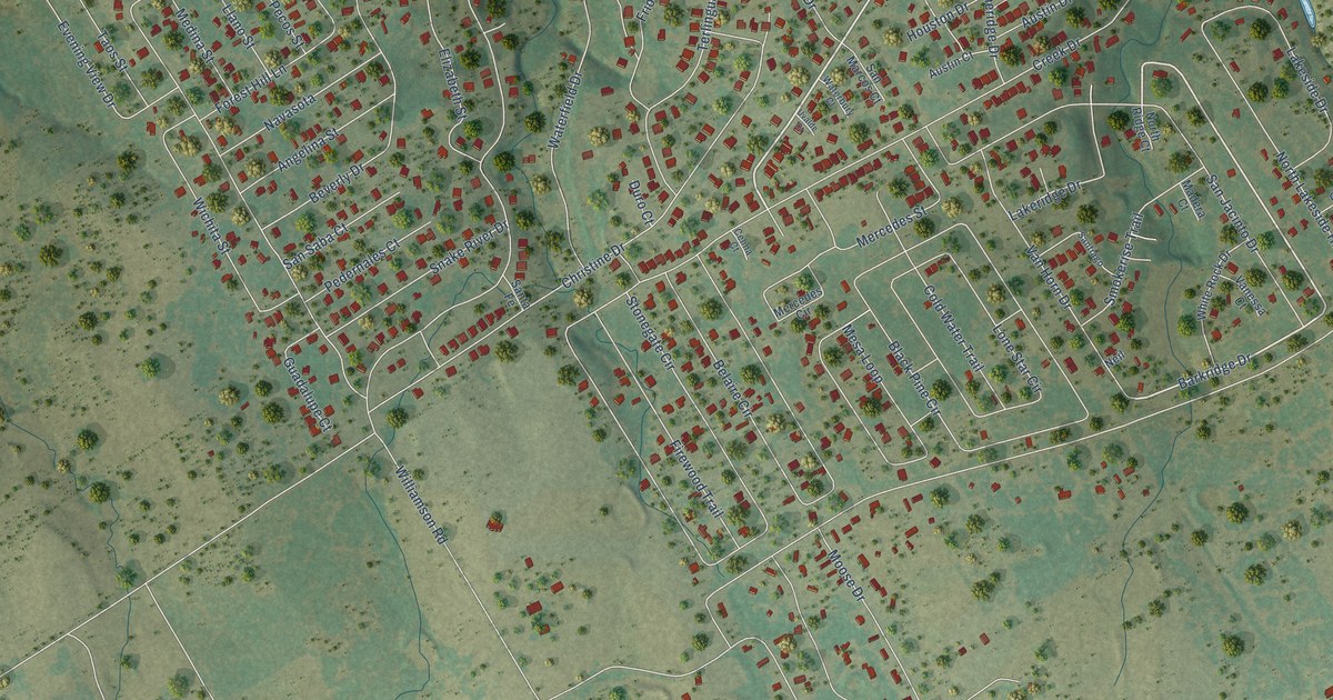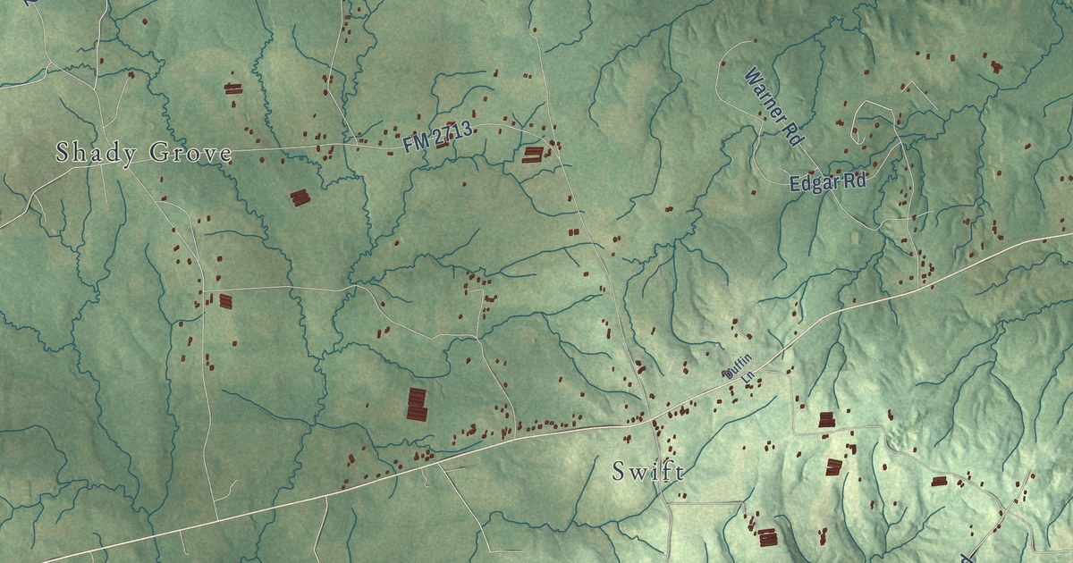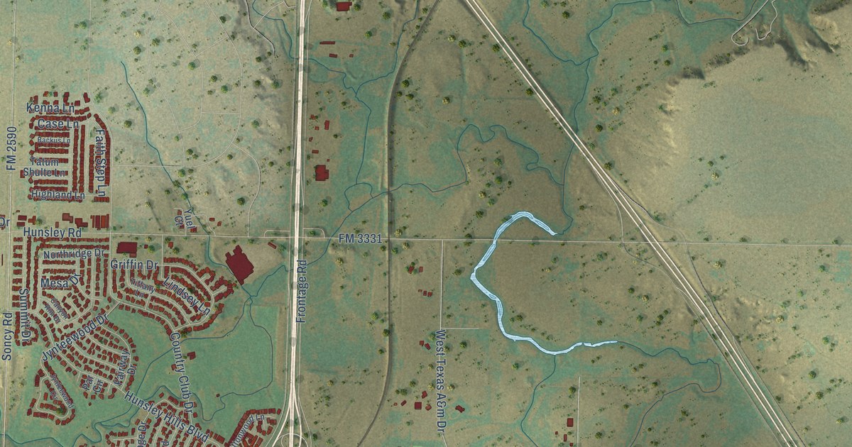
This beautifully detailed map of Canyon, Texas was created in 2026 using aerial imagery combined with modern topographical, census, street and landmark data. It’s a one-of-a-kind view of Canyon that combines accurate data with a vintage aesthetic. The map shows every building in its true location, many of the roads carry their names, and the shaded topographic relief shows the shape of the land.
Explore an aerial view of Canyon, Texas
On the map you’ll find 23rd Street, Fourth Avenue, Russell Long Boulevard, Buffalo Stadium Road, West Country Club Road, First Avenue, North Second Avenue, 28th Street, Tenth Avenue, Mable Drive, Eleventh Street, Sixth Avenue, and more. If you look closely you can even find your house accurately drawn in its correct location. Zoom in on the preview to look for yours.
Did you know this piece of Canyon, Texas history?
From the Handbook of Texas: "Hammond established the second business and a blacksmith shop, and suggested the name Canyon City, after nearby Palo Duro Canyon, when Conner refused to have the settlement named after himself."
Take a closer look at the Canyon map
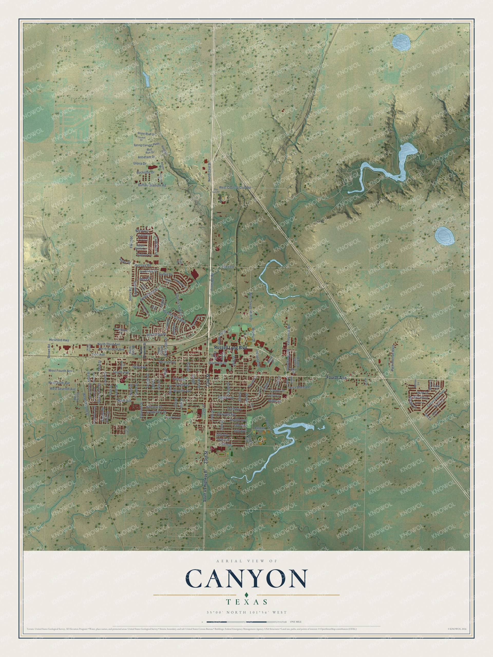
Street names on the Canyon, Texas map
These names are printed on the map of Canyon, Texas.
Streets and roads: 23rd Street, Fourth Avenue, Russell Long Boulevard, Buffalo Stadium Road, West Country Club Road, First Avenue, North Second Avenue, 28th Street, Tenth Avenue, Mable Drive, Eleventh Street, Sixth Avenue.
More street names, A to Z
13th Avenue, 13th Street, 14th Avenue, 14th Street, 15th Avenue, 15th Street, 16th Avenue, 16th Street, 17th Avenue, 17th Street, 18th Street, 19th Street, 20th Street, 21st Street, 22nd Street, 24th Street, 25th Street, 26th Street, 27th Street, 29th Street, 38th Street, Antietam Drive, Ashlee Lane, Aztec Drive, Backus Lane, Ballpark Way, Brookhaven Drive, Brown Road, Buckston Drive, Bull Run Drive, Butterfield Trail, Canyon East Parkway, Canyon Rim Drive, Case Lane, Cimarron Trail, Cm Lane, Cody Lane, College Street, Conner Drive, Cottonwood Lane, Country Club Drive, Creekmere Drive, Creekside Lane, Debra Lane, Dellwood Lane, Dimple Drive, Eighth Avenue, Eleventh Avenue, Fairway Drive, Faith Step Lane, Fifth Avenue, Fifth Street, First Street, FM 2590, FM 3331, Foster Lane, Fourth Street, Frontage Road, Gloria Drive, Griffin Drive, Harrell Lane, Hereford Highway, Highland Lane, Hillcrest Drive, Hix Drive, Holly Lane, Hospital Drive, Hunsley Hills Boulevard, Hunsley Road, Interchange 48, Jynteewood Circle, Jynteewood Drive, Kenna Lane, Kessler Drive, Kingston Drive, Lair Lane, Linda Lane, Lindsey Lane, Macy Lane, Mesa Drive, Neeley Lane, Nicci Lane, Ninth Avenue, Ninth Street, North 14th Street, North 15th Street, North 23rd Street, North 24th Street, North Eleventh Street, North First Street, North Ninth Street, Northridge Drive, North Third Avenue, Oregon Trail, Palo Duro Road, Par Circle, Park Avenue Main, Pond Lane, Prairie View Drive, Quail Creek Drive, Quay Lane, Riverview Drive, Sandra Lane, Santa Fe Trail, Second Avenue, Second Street, Seventh Avenue, Seventh Street, Shelley Drive, Sixth Street, Soncy Road, Southridge Drive, South Soncy Road, South US Highway 87, Spring Canyon Parkway, Stone Bluff Drive, Summit Drive, Tatum Shulte Lane, Taylor Lane, Tenth Street, Thicket Drive, Third Avenue, Third Street, Tierra Blanca Drive, Tiffany Lane, Twelfth Avenue, Twelfth Street, University Drive, Valleyview Road, Victory Drive, Village Drive, West Fourth Avenue, West Second Street, West Seventh Avenue, West Sixth Avenue, West Texas A&m Drive, West Third Street, Wieck Drive, William Lane, Wirt Drive, Wisdom Road, Wtamu Drive, Yuel Court.
See the Canyon, Texas map on a wall
The Canyon map as an 18 x 24 inch print in a black frame.

This beautifully detailed map of Canyon makes an attractive addition to your office, library, or den, and it can even be used to teach children the geography and history of the area. It also makes a great gift for someone who left Canyon and still calls it home. When you’re done exploring, click here to get your copy of the Canyon map.