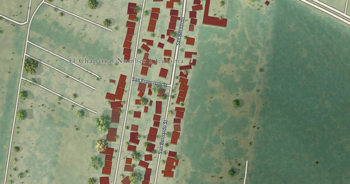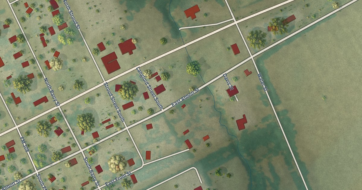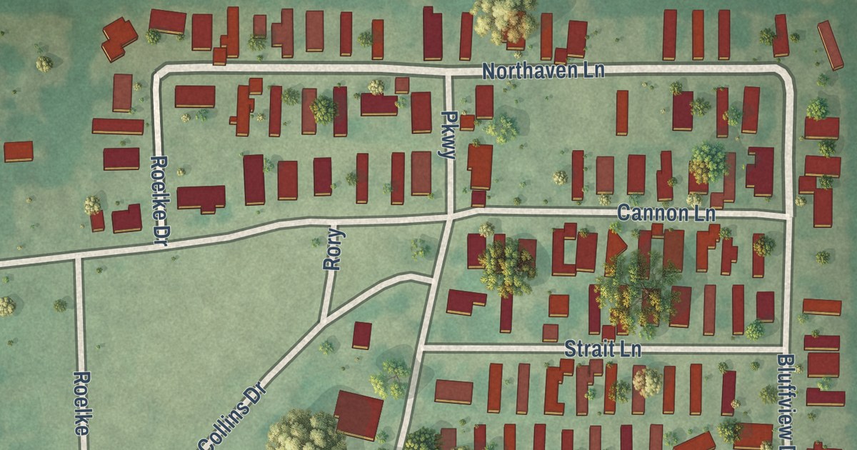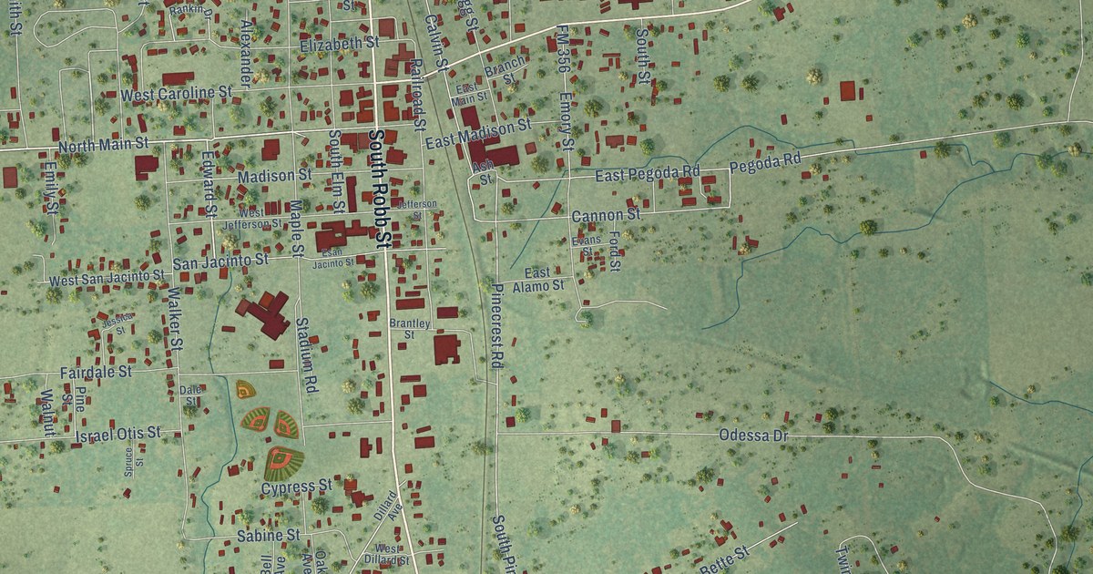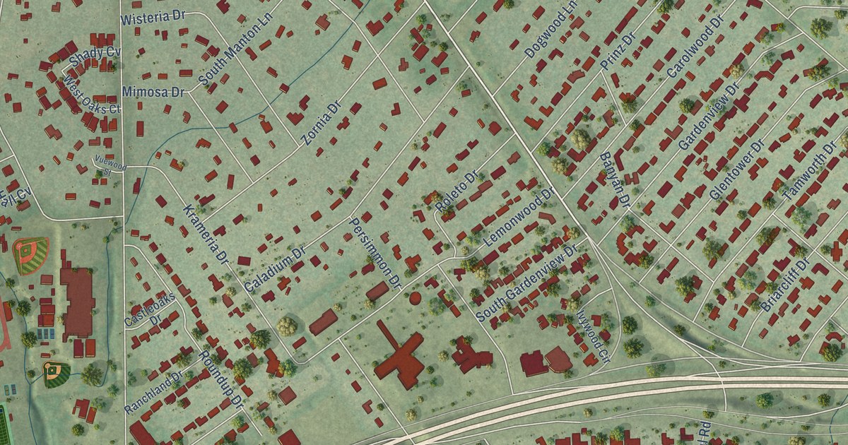
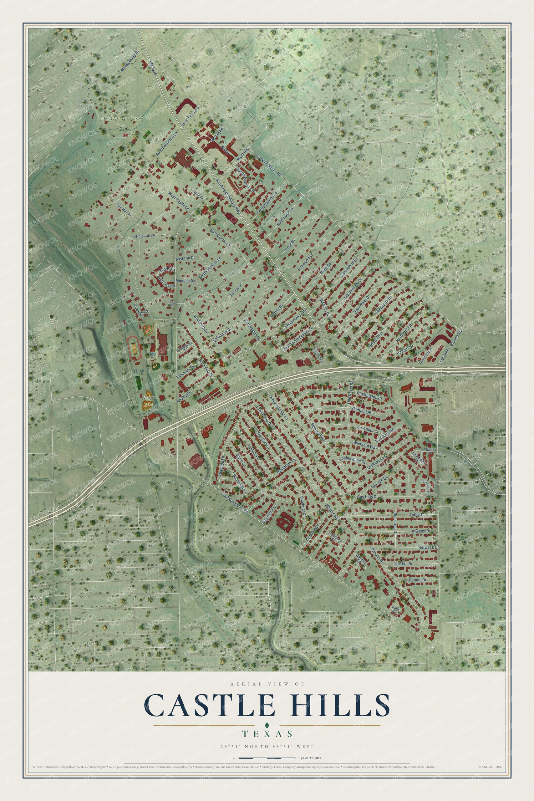
This beautifully detailed map of Castle Hills, Texas was created in 2026 using aerial imagery combined with modern topographical, census, street and landmark data. It’s a one-of-a-kind view of Castle Hills that combines accurate data with a vintage aesthetic. The map shows every building in its true location, many of the roads carry their names, and the shaded topographic relief shows the shape of the land.
Explore an aerial view of Castle Hills, Texas
On the map you’ll find Aggie Park, McGimsey Scout Park, and Squires Row, along with FM 1535, Lockhill Selma Road, Northwest Military Highway, Jackson Keller Road, West Avenue, Blanco Road, Honeysuckle Lane, Wedgewood Drive, Fox Hall Lane, and more. If you look closely you can even find your house accurately drawn in its correct location. Zoom in on the preview to look for yours.
Did you know this piece of Castle Hills, Texas history?
Walter W. Ahlschlager, the architect of the Roxy Theatre in New York City, designed the Wedgwood in Castle Hills. He also drew the Carew Tower in Cincinnati and the Peabody Hotel in Memphis. The Wedgwood dates from 1965, the year he died in Dallas.
Take a closer look at the Castle Hills map
Street and place names on the Castle Hills, Texas map
These names are printed on the map of Castle Hills, Texas.
Places: Aggie Park and McGimsey Scout Park.
Streets and roads: FM 1535, Squires Row, Lockhill Selma Road, Northwest Military Highway, Jackson Keller Road, West Avenue, Blanco Road, Honeysuckle Lane, Wedgewood Drive, Fox Hall Lane, Towne Vue Drive, Antler Drive.
More street names, A to Z
Adobe Drive, Amerson Lane, Atwater Drive, Banyan Drive, Biltmore Street, Bluet Lane, Briarcliff Drive, Buckaroo Drive, Caladium Drive, Carolwood Drive, Cas Hills Drive, Castle Gardens Drive, Castleoaks Drive, Chattington Court, Cobblestone Court, Cotillion Drive, Dandelion Lane, Dani Lane, Danube Drive, Dogwood Lane, East Castle Lane, Flintstone Street, FM 2696, Fox Hall Cv, Gardenview Drive, Gladiola Lane, Glentower Drive, Halbart Drive, Herweck Drive, Hibiscus Lane, Iron Gate Road, Ivywood Circle, Krameria Drive, Lemonwood Drive, Lochaven Lane, Lou Jon Circle, Lundblade Lane, Mimosa Drive, Moss Drive, Northcrest Drive, North Manton Lane, North Winston Lane, Oak Royal Road, Palm Circle, Parade Drive, Persimmon Drive, Prinz Drive, Ranchland Drive, Riviera Drive, Roleto Drive, Roundup Drive, Shady Cv, Shalimar Drive, Sheffield Place, Sir Arthur Court, Slimp, South Gardenview Drive, South Manton Lane, South Winston Lane, Sunflower Lane, Tamworth Drive, Thames Drive, Travertine Lane, Trillium Lane, Twinleaf Lane, Villa Ann Drive, Vuewood Street, Waydele Circle, West Castle Lane, West Oaks Court, Wickford Way, Wisteria Drive, Woodyew, Wottlin Road, Zornia Drive.
See the Castle Hills, Texas map on a wall
The Castle Hills map as an 18 x 24 inch print in a black frame.

This beautifully detailed map of Castle Hills makes an attractive addition to your office, library, or den, and it can even be used to teach children the geography and history of the area. It also makes a great gift for someone who left Castle Hills and still calls it home. When you’re done exploring, click here to get your copy of the Castle Hills map.