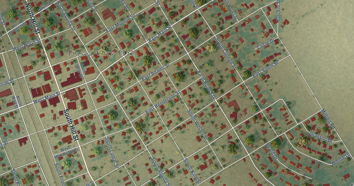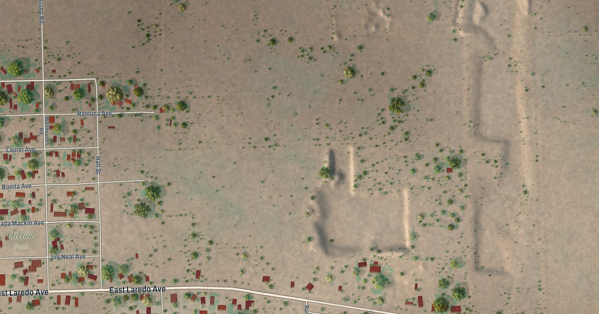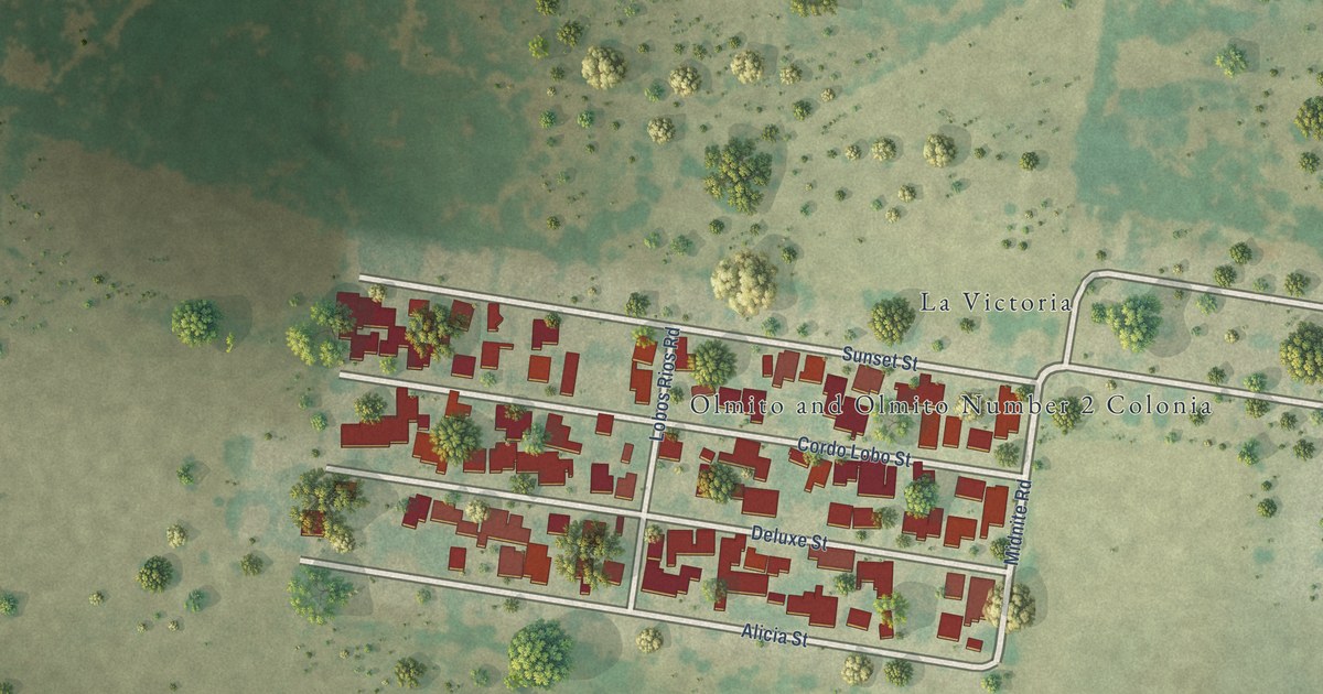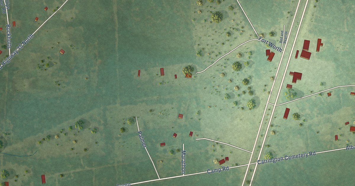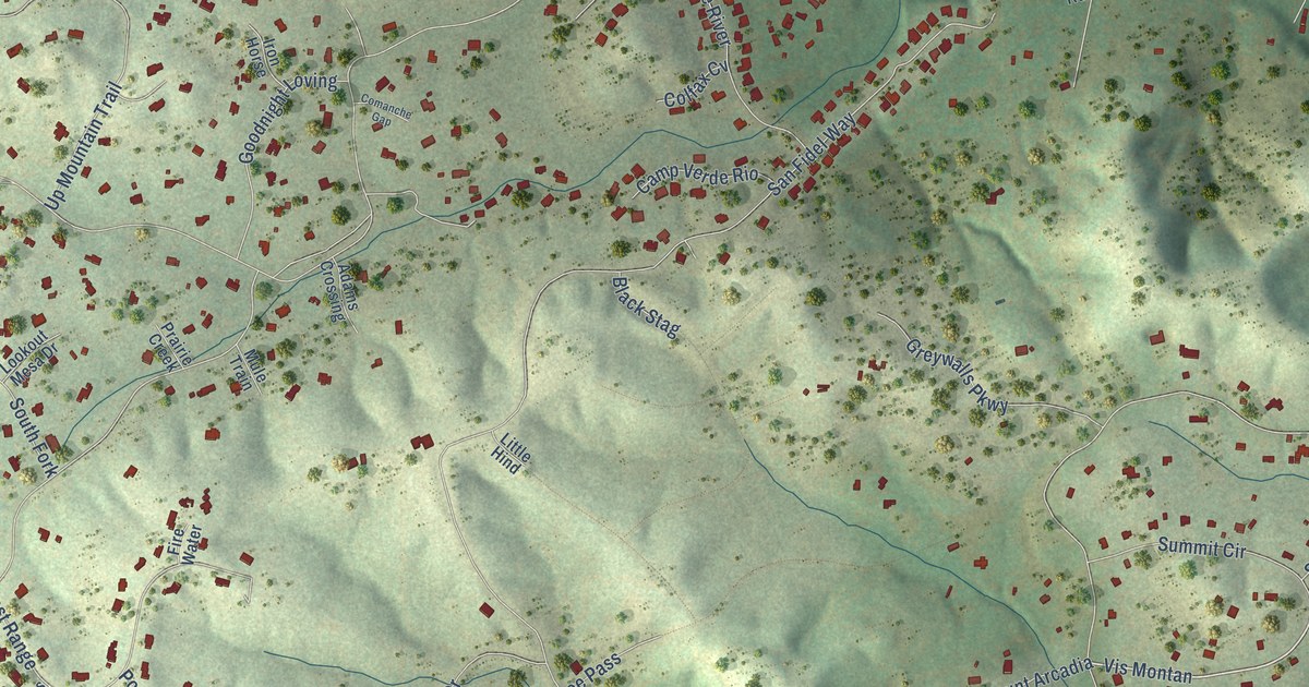
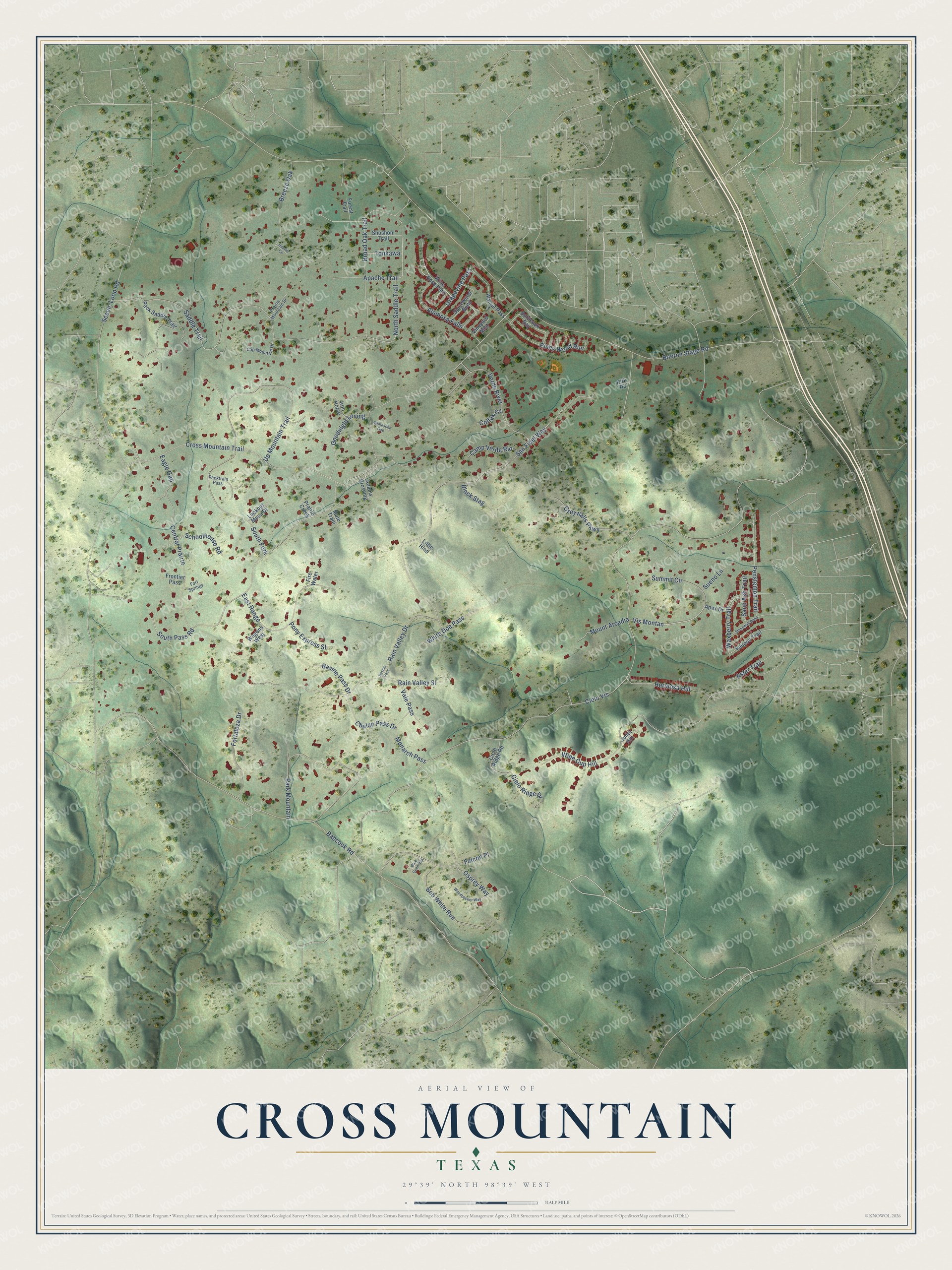
This beautifully detailed map of Cross Mountain, Texas was created in 2026 using aerial imagery combined with modern topographical, census, street and landmark data. It's a modern aerial view of Cross Mountain in Bexar County, Texas, that combines modern data with a vintage aesthetic. The roads feature printed names, and if you look closely you can find your exact house accurately shown in its correct location.
Explore an aerial view of Cross Mountain, Texas
On this map you'll find Vis Montan, Cielo Vis, Scenic Loop Road, Boerne Stage Road, Cross Mountain Trail, Babcock Road, Saddle Trail, San Fidel Way, Central Prairie, Park Mountain, Up Mountain Trail, Broad Oak Trail, and more. Each red shape is a building, so zoom in on the preview and look for yours.
Cross Mountain is a community in Bexar County. The Census Bureau counted 3,944 people here in 2020. Cross Mountain sits about 3 miles northeast of Grey Forest, 4 miles south of Scenic Oaks and 5 miles north of Helotes. The map prints the town name in its title panel, with the coordinates below it.
Take a closer look at the Cross Mountain map
Names on this map
These names are printed on this map.
Streets and roads: Vis Montan, Cielo Vis, Scenic Loop Road, Boerne Stage Road, Cross Mountain Trail, Babcock Road, Saddle Trail, San Fidel Way, Central Prairie, Park Mountain, Up Mountain Trail, Broad Oak Trail.
More street names, A to Z
Adams Crossing, Alamosa Falls, Apache Trail, Apex Drive, Aster Trail, Bavine Pass Drive, Black Stag, Blue Quail Run, Bob White Run, Bordeaux Bay, Breeze Oak, Camp Verde Rio, Cap Mountain Drive, Chulan Pass Drive, Cielo Ridge Drive, Cielo Ridge Road, Colfax Cv, Comanche Gap, Duerler Circle, Eagle Gap, East Range, Falcon Place, Fire Water, Forest Trail, Fortaleza Drive, Fort Springs, Frontier Pass, Goodnight Loving, Grapevine Pass, Greywalls Parkway, Hermosa Hill, Iron Horse, Juliet Hill, Kirk Road, Little Hind, Lookout Mesa Drive, Monarch Pass, Mount Arcadia, Mule Train, North Saddle Trail, Osprey Way, Pack Saddle Trail, Packtrain Pass, Penstemon Trail, Piney Wood Run, Pony Express Street, Prairie Creek, Prairie Mountain Drive, Rain Valley Drive, Rain Valley Street, Ravine Pass, Sand Ash Trail, Schoolhouse Road, Shoshoni Trail, South Fork, South Pass Road, Spicewood Bend, Stonewall Bend, Sueno Lane, Summit Circle, Tonkawa, Vale Pass, Verde River, Vineyard Mist, Wagons West, Walnut Pass, Waxberry Trail, White Doe Pass, Wine Cup Hill, Wine Rose Path, Woodpecker Way, Yaupon Trail.
See it on a wall
The Cross Mountain map as a framed print. Swipe for more.


Created by KNOWOL in 2026. The buildings are small red shapes, the roads carry their printed names, and shaded relief shows the shape of the land. The title panel reads "AERIAL VIEW OF CROSS MOUNTAIN, TEXAS" with 29°39' NORTH 98°39' WEST.
It looks right in a kitchen, an office or a den, and it's a gift for anyone who grew up in Cross Mountain or moved away. Open the preview and find your street. See sizes and frames for the Cross Mountain map.