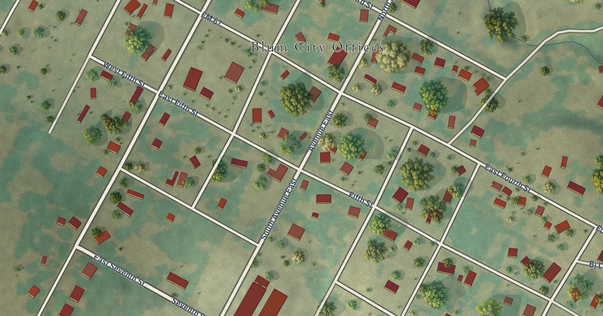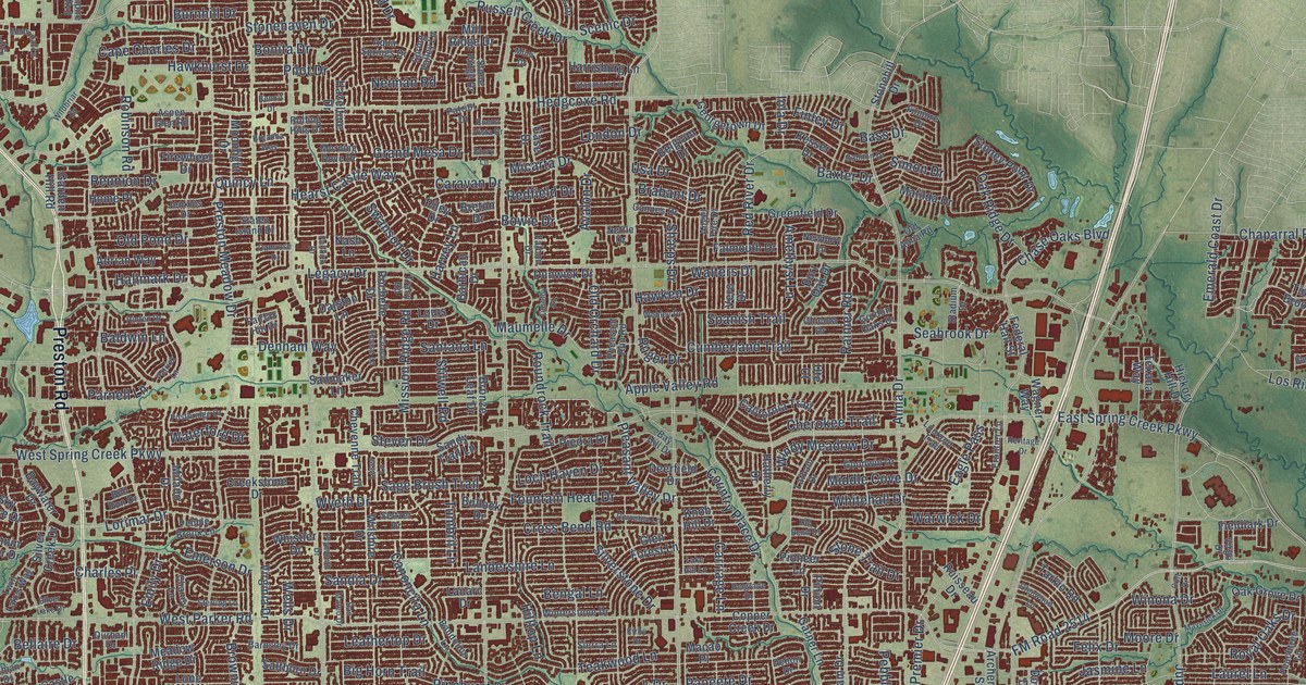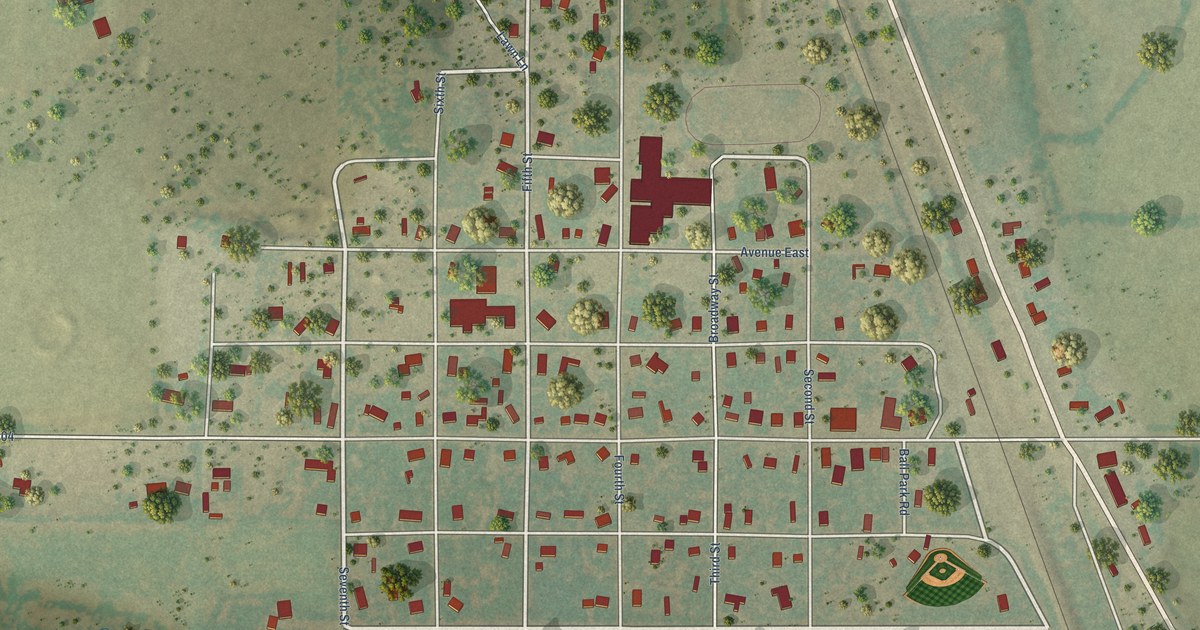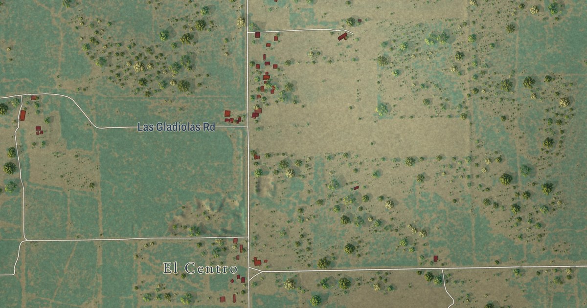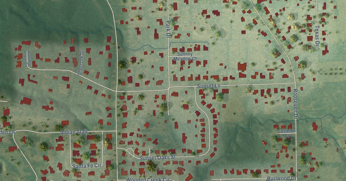
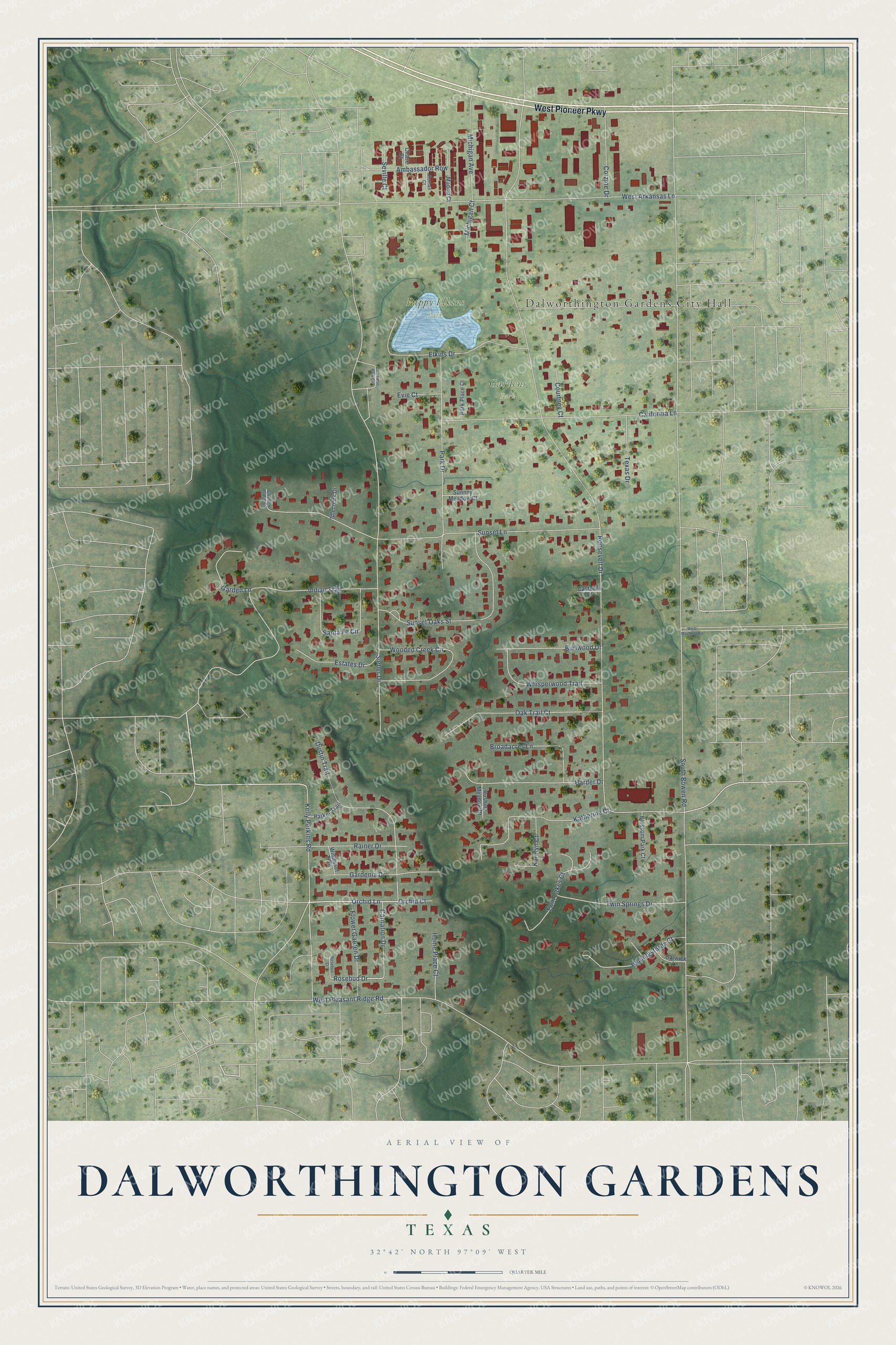
This beautifully detailed map of Dalworthington Gardens, Texas was created in 2026 using aerial imagery combined with modern topographical, census, street and landmark data. It’s a one-of-a-kind view of Dalworthington Gardens that combines accurate data with a vintage aesthetic. The map shows every building in its true location, many of the roads carry their names, and the shaded topographic relief shows the shape of the land.
Explore an aerial view of Dalworthington Gardens, Texas
On the map you’ll find Dalworthington Gardens City Hall, Gardens Park, and Pappy Elkins Park, along with West Pioneer Parkway, Orchid Lane, Rosebud Drive, South Bowen Road, Roosevelt Drive, West Pleasant Ridge Road, Sunset Lane, West Arkansas Lane, Sieber Drive, and more. If you look closely you can even find your house accurately drawn in its correct location. Zoom in on the preview to look for yours.
Did you know this piece of Dalworthington Gardens, Texas history?
From the Handbook of Texas: "The community was established as a subsistence homestead project during the Great Depression under the authority of the National Industrial Recovery Act."
Take a closer look at the Dalworthington Gardens map
Street and place names on the Dalworthington Gardens, Texas map
These names are printed on the map of Dalworthington Gardens, Texas.
Places: Dalworthington Gardens City Hall, Gardens Park and Pappy Elkins Park.
Streets and roads: West Pioneer Parkway, Orchid Lane, Rosebud Drive, South Bowen Road, Roosevelt Drive, West Pleasant Ridge Road, Sunset Lane, West Arkansas Lane, Sieber Drive, California Lane, Park Drive, Indian Trail.
More street names, A to Z
Ambassador Row, Blossom Park Court, Broadacres Lane, Burlwood Drive, Carnation Drive, Castelon Court, Chase Court, Cinnamon Park Circle, Corzine Drive, Country Place Circle, Courtney Court, Dustin Trail, Elkins Drive, Estates Drive, Evie Court, Flower Garden Drive, Gardenia Drive, Garden Lane, Gatwick Lane, Harder Drive, Hemingsfords Court, Home Place Court, Idlecreek Drive, Karalyn Court, Katherine Court, Kelly Perkins Road, Madrid Court, Michigan Avenue, Michigan Court, Oak Trail Court, Orchid Court, Parker Trail, Park Place Court, Rainer Drive, Roman Court, Rosebud Court, Rushing Meadow Court, Santa Fe Circle, Seville Court, Sunnny Meadow Court, Sunset Oaks Street, Texas Drive, Twin Lakes Court, Twin Springs Drive, West Mayfield Road, Whisperwood Trail, Winterset Trail, Wooded Creek Circle.
See the Dalworthington Gardens, Texas map on a wall
The Dalworthington Gardens map as an 18 x 24 inch print in a black frame.

This beautifully detailed map of Dalworthington Gardens makes an attractive addition to your office, library, or den, and it can even be used to teach children the geography and history of the area. It also makes a great gift for anyone who grew up in Dalworthington Gardens or moved away. When you’re done exploring, click here to get your copy of the Dalworthington Gardens map.