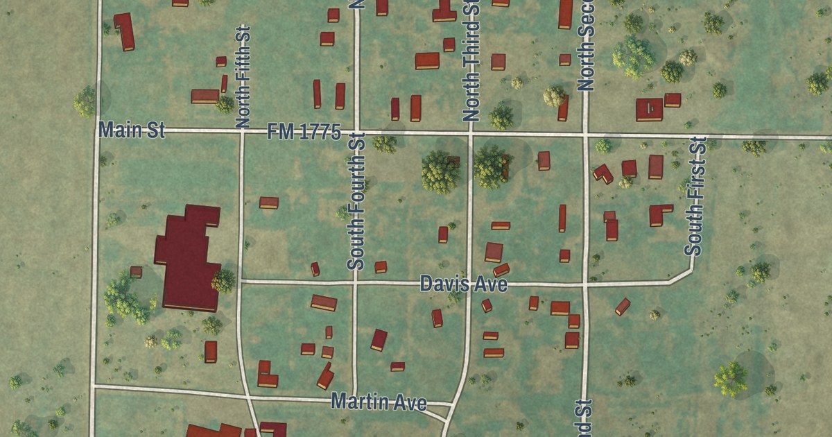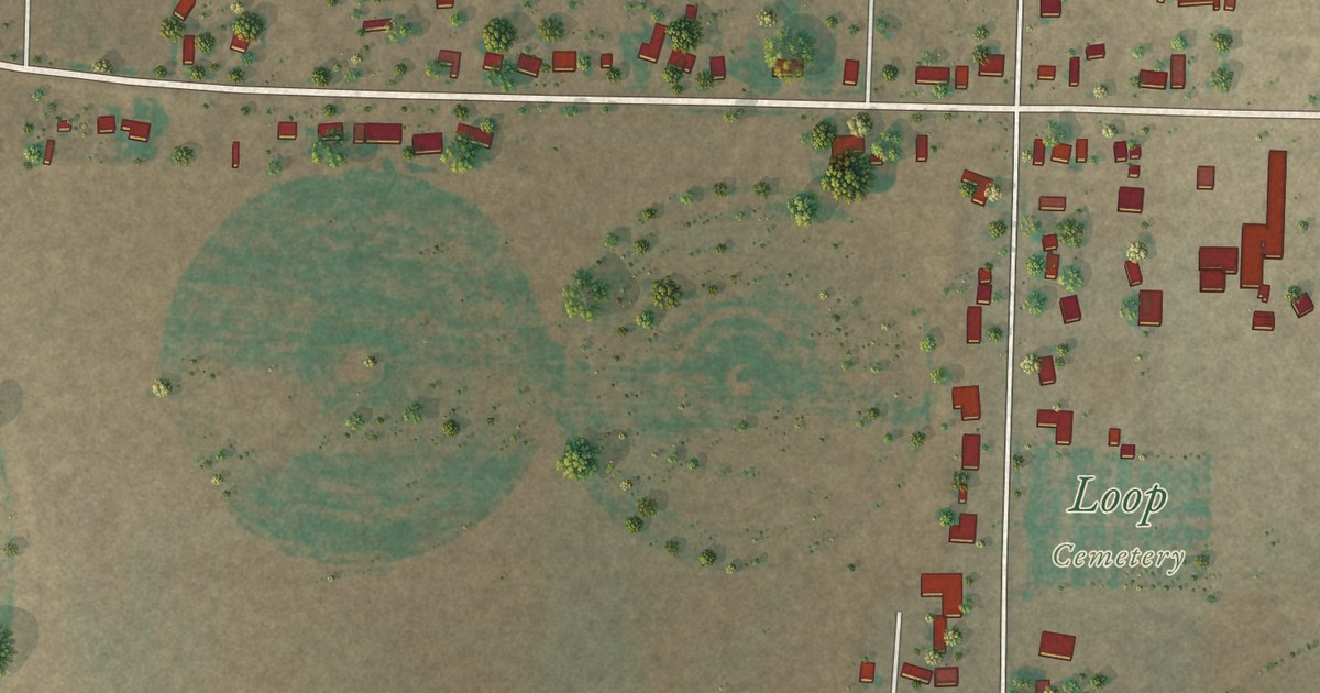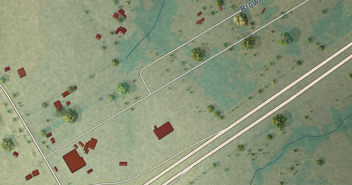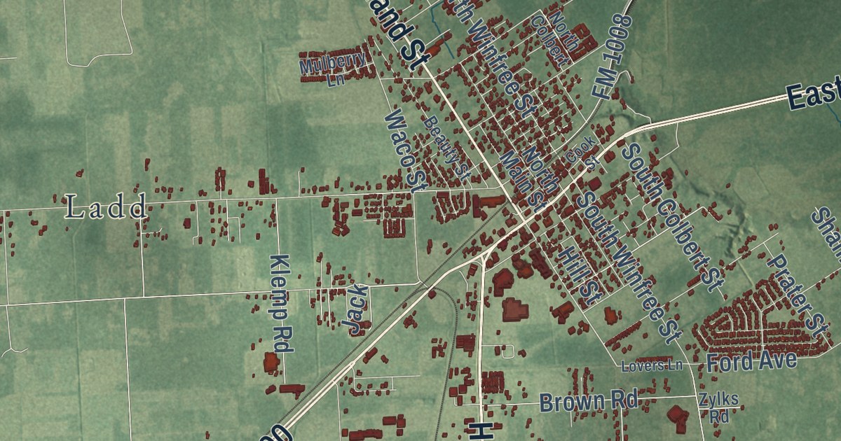
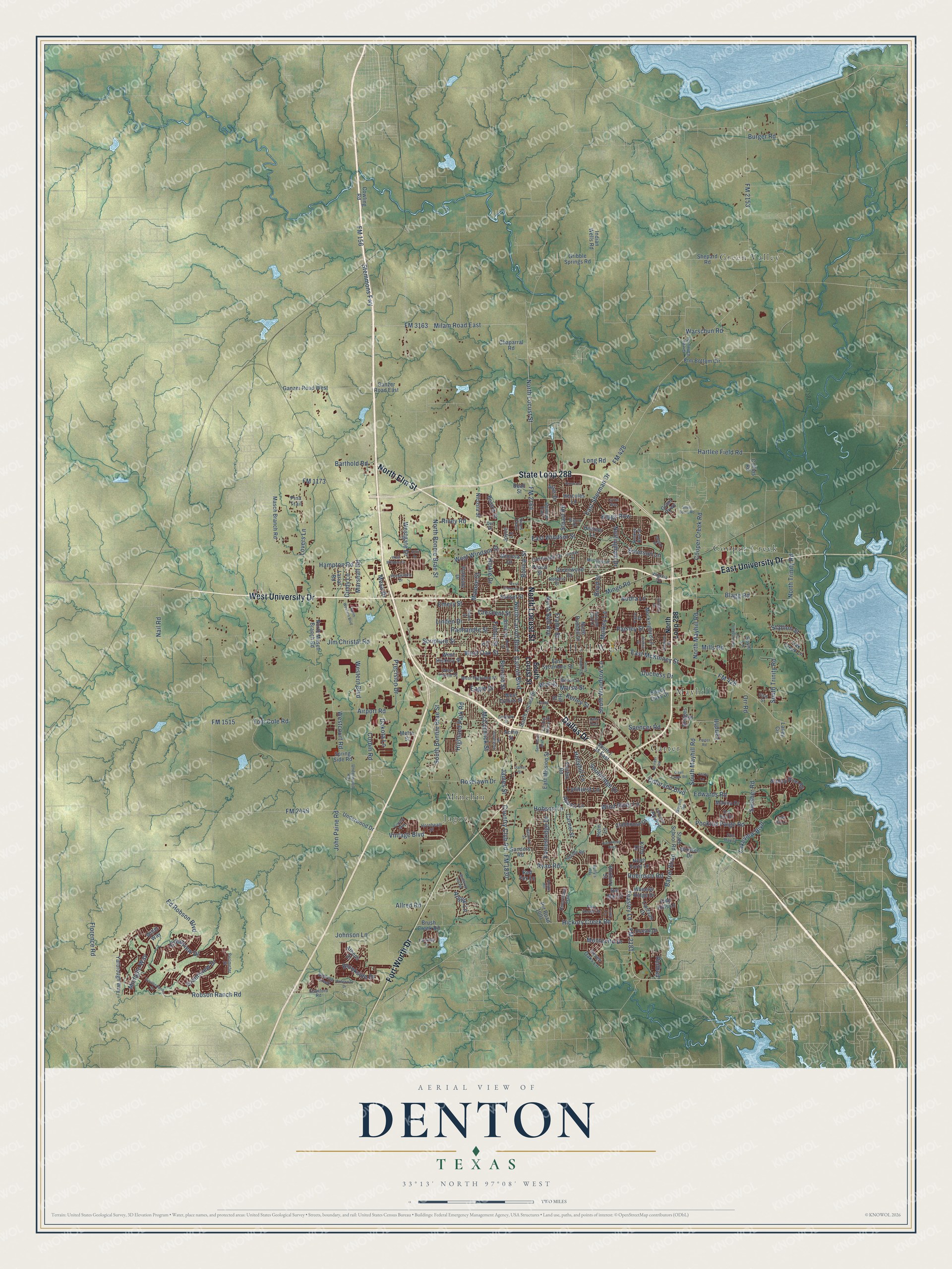
This beautifully detailed map of Denton, Texas was created in 2026 using aerial imagery combined with modern topographical, census, street and landmark data. It’s a one-of-a-kind view of Denton that combines accurate data with a vintage aesthetic. The map shows every building in its true location, many of the roads carry their names, and the shaded topographic relief shows the shape of the land.
Explore an aerial view of Denton, Texas
On the map you’ll find City Hall West, Carter, Cooper Creek, Green Valley, Jagoe, Mayhill, and Minchin, along with State Loop 288, Fort Worth Drive, Dallas Drive, North Locust Street, North Elm Street, and more. If you look closely you can even find your house accurately drawn in its correct location. Zoom in on the preview to look for yours.
Did you know this piece of Denton, Texas history?
From the Handbook of Texas: "In 1954 the regional office of the Federal Civil Defense Administration moved from Dallas to Denton, and a few years later a large underground shelter was completed."
Take a closer look at the Denton map
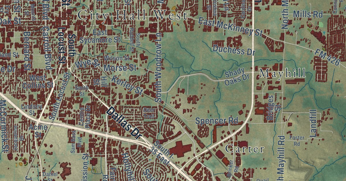
Street and place names on the Denton, Texas map
These names are printed on the map of Denton, Texas.
Places: City Hall West, Green Valley, Cooper Creek, Jagoe, Mayhill, Carter and Minchin.
Streets and roads: State Loop 288, Fort Worth Drive, Dallas Drive, North Locust Street, North Elm Street, West University Drive, East University Drive, Teasley Lane, FM 2181, Colorado Boulevard, West Oak Street, Carroll Boulevard.
More street names, A to Z
Abbots Lane, Acme Street, Airport Road, Alice Street, Allred Road, Argyle Lane, Athens Drive, Atlas Drive, Audra Lane, Autumn Oak Drive, Barrel Strap, Barthold Road, Beall Street, Beatriz Drive, Belmont Street, Bernard Street, Bishop Pine Road, Blagg Road, Bolivar Street, Boyd Street, Bridges Street, Brinker Road, Brittany Drive, Broken Bow Street, Brookside Drive, Brush Creek Road, Burger Road, Cardinal Drive, Carmel Street, Centre Place Drive, Chaparral Road, Cindy Lane, Clubhouse Drive, Collins Road, Cooper Creek Road, Corbin Road, Coronado Drive, Country Club Road, Cowling Road, Crawford Road, Creekway Drive, Crescent Street, Crestview Drive, Cunningham Road, Cyrus Way, Dakota Lane, Daniel Street, Deer Trail, Del Drive, Del Mar Court, Del Rey Drive, Dixon Lane, Duchess Drive, Duffy's Way, Eagle Drive, East McKinney Street, East Mission Street, East Sherman Drive, East Sycamore Street, East Windsor Street, Echo Hill Lane, Ed Robson Boulevard, Edwards Road, Elm Bottom Circle, Emerson Lane, Emery Street, Evers Parkway, Fairfax Road, Fairway Drive, First Street, Florence Road, FM 156, FM 426, FM 428, FM 1173, FM 1515, FM 1830, FM 2153, FM 2164, FM 2449, FM 3163, Forrestridge Drive, Foster Road, Frame Street, Frost Lane, Fry Street, Fulton Street, Ganzer Road East, Ganzer Road West, Gober Street, Grandview Drive, Grant Parkway, Green Valley Circle, Greenwood Drive, Gribble Springs Road, Hampton Road, Hartlee Field Road, Heather Lane, Helm Lane, Hercules Lane, Hickory Creek Road, Highland Park Road, Hill Street, Hinkle Drive, Hobson Lane, Hollyhill Lane, Hornbeam Street, Indian Wells Road, Jacqueline Drive, James Street, Jim Christal Road, John Drive, John Paine Road, Johnson Lane, Joshua Street, Joyce Lane, Kerley Street, Kings Row, Kirby Drive, Lakeview Boulevard, Landfill, Laney Circle, Lariat Road, Leafy Lane, Linden Drive, Lindsey Street, Lipizzan Drive, Liveoak Street, Long Road, Lovers Lane, Lynhurst Lane, Malone Street, Marina Drive, Marshall Road, Masch Branch Road, Mayhill Road, McCormick Street, Megan Street, Mesa Drive, Metro Street, Michelle Way, Milam Road East, Mills Road, Mimosa Drive, Mingo Road, Mistywood Lane, Mockingbird Lane, Montecito Drive, Morse Street, Mounts Street, Mulkey Lane, Nail Road, Nicosia Street, North Bell Avenue, North Bonnie Brae Street, North Carroll Boulevard, North Forty Lane, North Loop 288, North Masch Branch Road, North Mayhill Road, North Ruddell Street, North Trinity Road, North Western Boulevard, Nottingham Drive, Oak Creek Lane, Ocean Drive, Orr Road, Pace Drive, Paisley Street, Palo Verde Drive, Panhandle Street, Parkside Drive, Peach Street, Perimeter Street, Pina Trail, Pine Hills Lane, Pockrus Paige Road, Precision Drive, Pvt Road 1001, Quail Creek Road, Ranchman Boulevard, Redbud, Red Fox Lane, Riney Road, Riverchase Trail, Roaring Creek, Roberts Street, Robinson Road, Robson Ranch Road, Roselawn Drive, Roxbury Street, Ryan Road, Sam Bass Boulevard, Sanders Road, Scripture Street, Seven Oaks Lane, Seville Road, Shadow Trail, Shady Oaks Drive, Shepard Road, Sierra Drive, Silver Dome Road, Smith Street, South Bonnie Brae Street, Southerland Drive, South I- 35 East, South Locust Street, South Mayhill Road, Southridge Drive, South Ruddell Street, South Trinity Road, South Woodrow Lane, Spencer Road, Spring Side Road, Stallion Street, State School Road, Stemmons Fwy, Stuart Road, Sun Ray Drive, Sunset Street, Susie Lane, Swisher Road, Thistle Hill, Thunderbird Drive, Tom Cole Road, Underwood Drive, Underwood Road, Unicorn Lake Boulevard, Vintage Boulevard, Vinyard Way, Virginia Circle, Warschun Road, West Collins Street, Westcourt Road, Western Boulevard, Westgate Drive, West Hickory Street, West Highland Street, West Prairie Street, West Sherman Drive, West Windsor Drive, West Windsor Street, Wheeler Ridge Drive, Willet Way, Wilson Street, Wind River Lane, Winston Drive, Winthrop Hill Road, Wye Street, Yarbrough Way.
See the Denton, Texas map on a wall
The Denton map as an 18 x 24 inch print in a black frame.

This beautifully detailed map of Denton makes an attractive addition to your office, library, or den, and it can even be used to teach children the geography and history of the area. It also makes a great gift for anyone with Denton roots. When you’re done exploring, click here to get your copy of the Denton map.