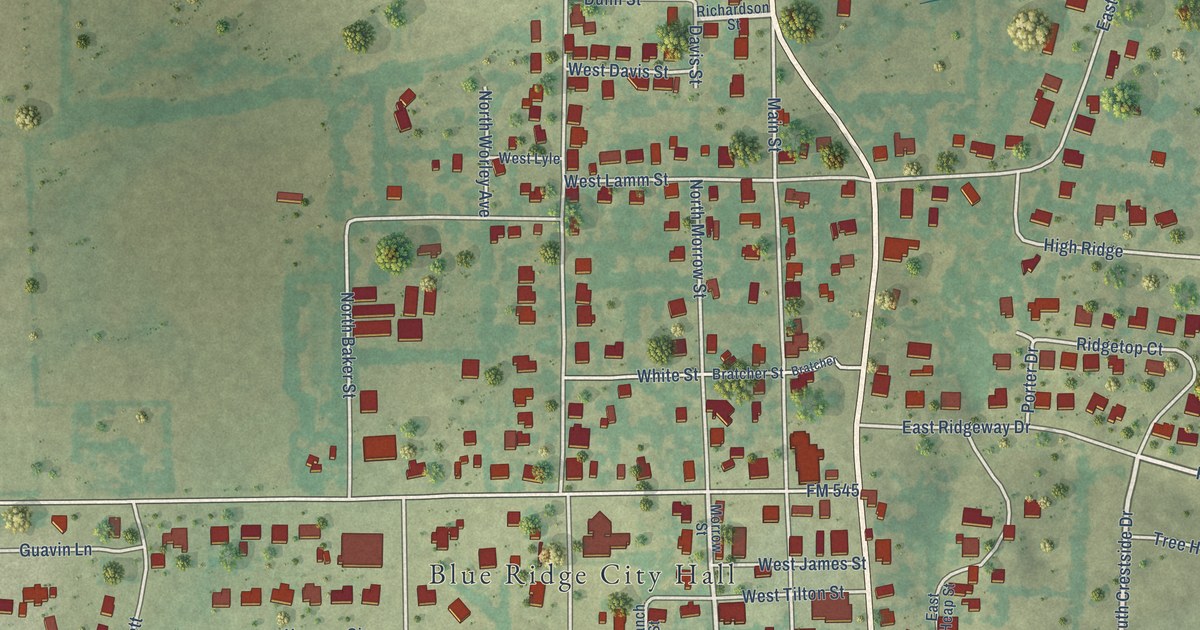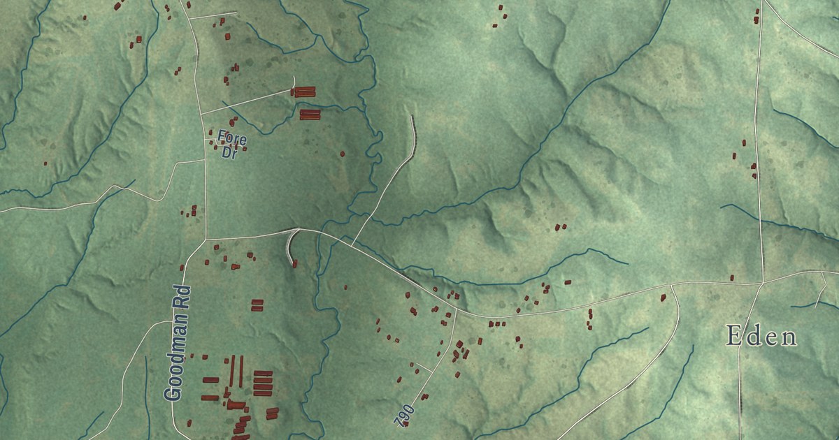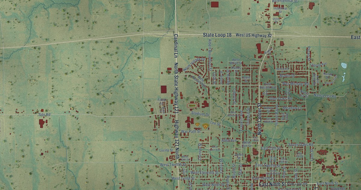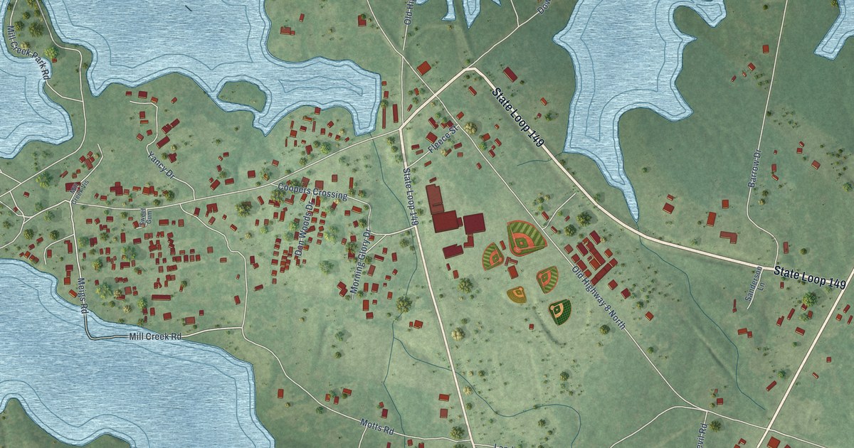
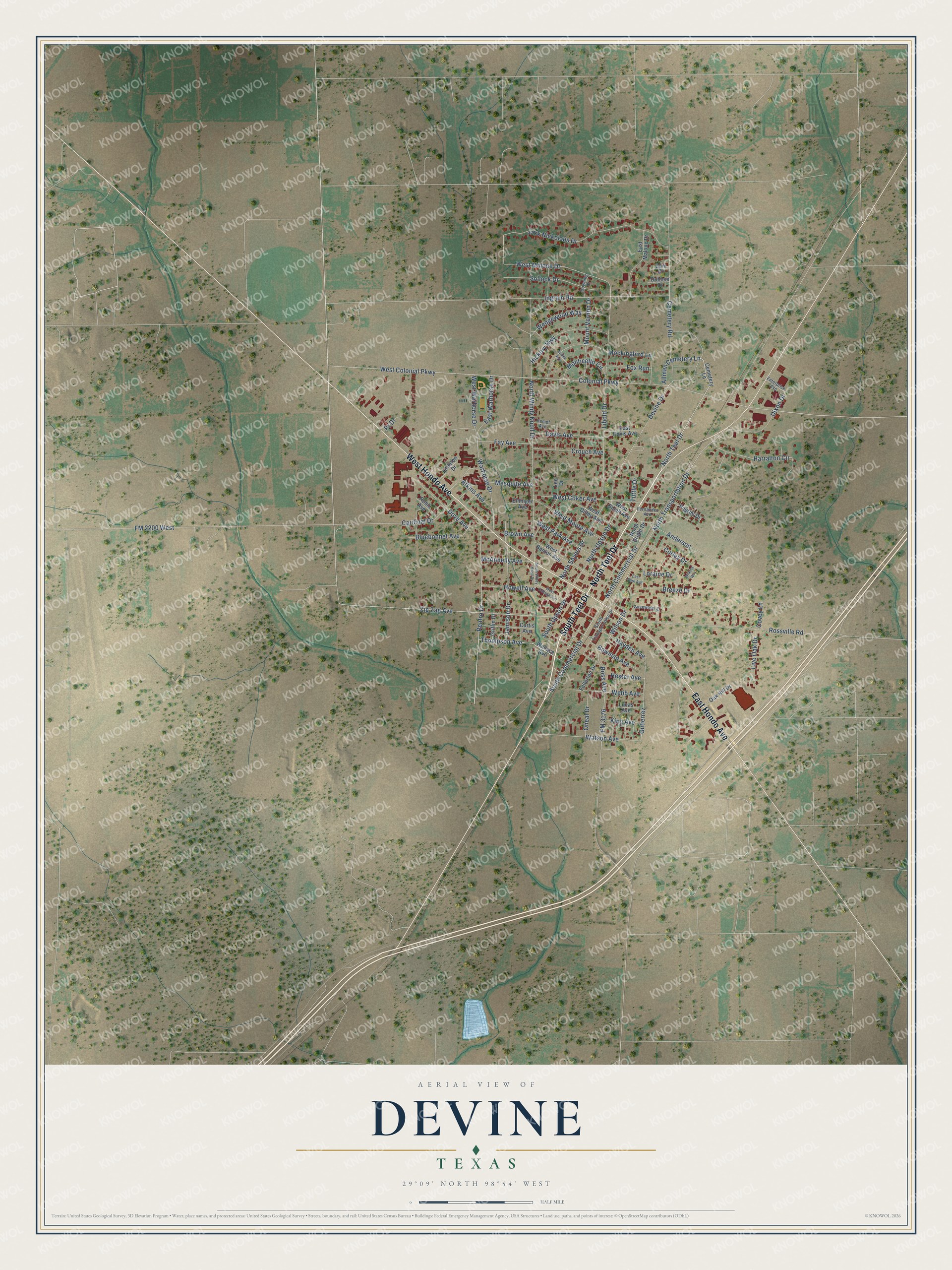
This beautifully detailed map of Devine, Texas was created in 2026 using aerial imagery combined with modern topographical, census, street and landmark data. It’s a one-of-a-kind view of Devine that combines accurate data with a vintage aesthetic. The map shows every building in its true location, many of the roads carry their names, and the shaded topographic relief shows the shape of the land.
Explore an aerial view of Devine, Texas
On the map you’ll find Evergreen Cemetery, along with North Teel Drive, South Teel Drive, West Hondo Avenue, East Hondo Avenue, South Commercial Drive, Thompson Avenue, Renfro Drive, Harralton Circle, Cemetery Lane, Dixon Drive, Wallace Avenue, and more. If you look closely you can even find your house accurately drawn in its correct location. Zoom in on the preview to look for yours.
Did you know this piece of Devine, Texas history?
From the Handbook of Texas: "Highway 81, Interstate Highway 35, and State Highway 173, thirty miles southwest of San Antonio in southeast Medina County, was established in 1881 when the rails of the International-Great Northern Railroad were extended from San Antonio to Laredo."
Take a closer look at the Devine map
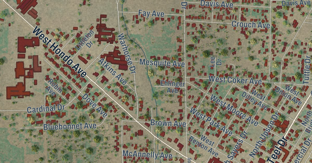
Street names on the Devine, Texas map
These names are printed on the map of Devine, Texas.
Streets and roads: North Teel Drive, South Teel Drive, West Hondo Avenue, East Hondo Avenue, South Commercial Drive, Thompson Avenue, Warhorse Drive, Zig Zag Avenue, Dixon Drive, North Transportation Drive, Renfro Drive, West Malone Drive.
More street names, A to Z
Allman Cemetery Lane, Anderson, Atkins Avenue, Azalea Avenue, Bain Drive, Bluebonnet Avenue, Bowman Avenue, Breeze Drive, Brown Avenue, Cardinal Drive, Cemetery Lane, Cemetery Road, Colonial Parkway, Corley Drive, Covey Lane, Crouch Avenue, Curtis Avenue, Davis Avenue, Devine Drive, Dove Avenue, Downing Drive, Dubose Drive, East Davis Avenue, East Malone Drive, East Park Avenue, East Warhorse Drive, Ehlinger Avenue, Enterprise Avenue, Fay Avenue, Fernandez Avenue, FM 2200 West, FM 3176, Fox Run, Fullerton Drive, Griffin Drive, Gutierrez, Harralton Circle, Hayden Avenue, Hester Avenue, Hickory Highway, Howell Avenue, Ingram Road, Jack Nickolaus Drive, Jamison Drive, Kempf Avenue, King Avenue, Lee Drive, Libold Drive, Littleton Drive, Live Oak Drive, Loraine Drive, Lucas Avenue, McAnnelly Avenue, Mesquite Avenue, Mockingbird Lane, Monticello Circle, Mount Vernon Drive, North Bright Drive, North Commercial Drive, North Sayers Drive, North Upson Drive, North Windy Knoll Drive, Oak Hill Drive, Oneal Drive, Pilgrim Drive, Pr Drive, Robin Avenue, Rosewood Street, Ross Avenue, Rossville Road, Sollock Drive, South Transportation Drive, South Upson Drive, South Windy Knoll Drive, Tuttle Drive, Wallace Avenue, Watson Avenue, Webb Avenue, Wedgewood Way, West Benton Avenue, West Coker Avenue, West College Avenue, West Colonial Parkway, West Dilley Avenue, West Moore Avenue, West Onion Avenue, West Park Avenue, West Warhorse Drive, Wilkins Way, Wilson Drive.
See the Devine, Texas map on a wall
The Devine map as an 18 x 24 inch print in a black frame.

This beautifully detailed map of Devine makes an attractive addition to your office, library, or den, and it can even be used to teach children the geography and history of the area. It also makes a great gift for anyone who grew up in Devine or moved away. When you’re done exploring, click here to get your copy of the Devine map.