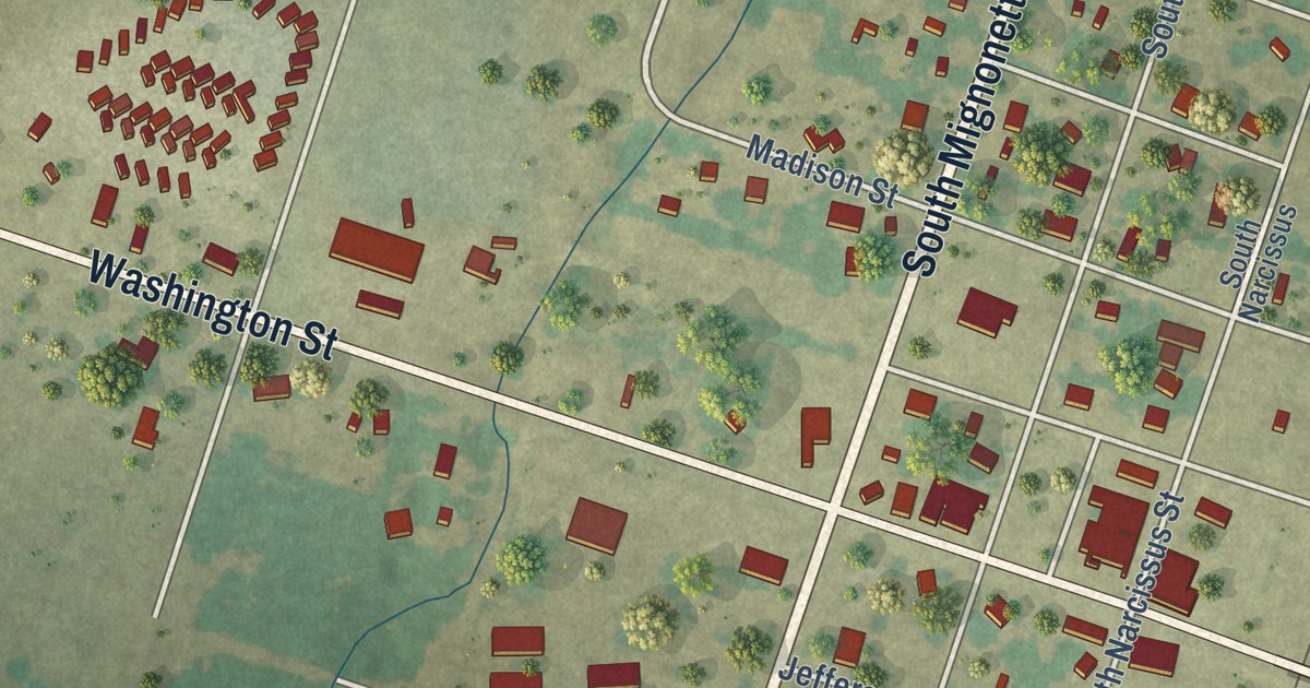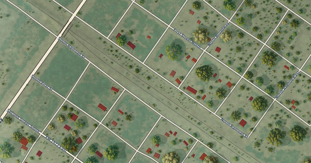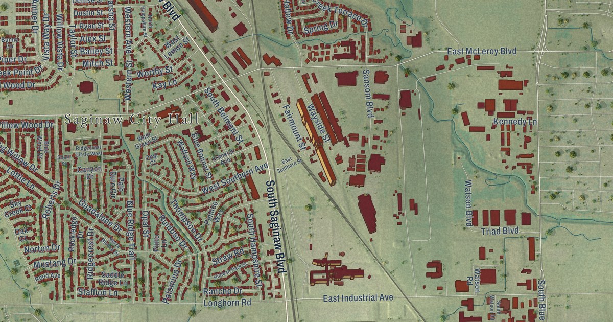
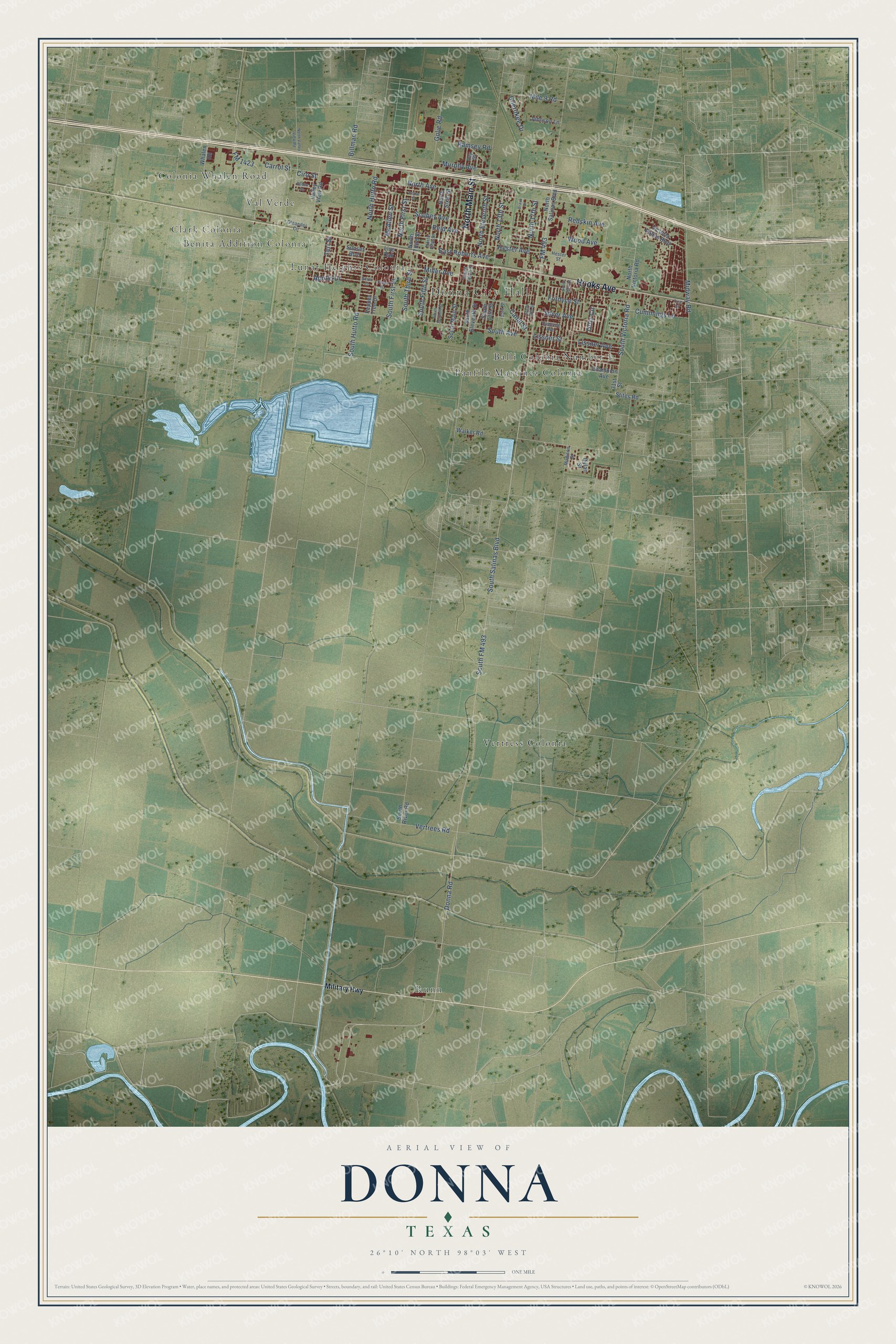
This beautifully detailed map of Donna, Texas was created in 2026 using aerial imagery combined with modern topographical, census, street and landmark data. It’s a one-of-a-kind view of Donna that combines accurate data with a vintage aesthetic. The map shows every building in its true location, many of the roads carry their names, and the shaded topographic relief shows the shape of the land.
Explore an aerial view of Donna, Texas
On the map you’ll find Donna City Hall, Balli Colonia Number 1, Benita Addition Colonia, Clark Colonia, Lunar Heights Colonia, Panfilo Martinez Colonia, Runn, Val Verde, and Vertress Colonia, along with Colonia Whalen Road, North Main Street, Hooks Avenue, and more. If you look closely you can even find your house accurately drawn in its correct location. Zoom in on the preview to look for yours.
Did you know this piece of Donna, Texas history?
From the Handbook of Texas: "That year the first store in west Donna was established by Ed Ruthven, and the community was recognized as the Texas station that shipped the most produce in a year."
Take a closer look at the Donna map
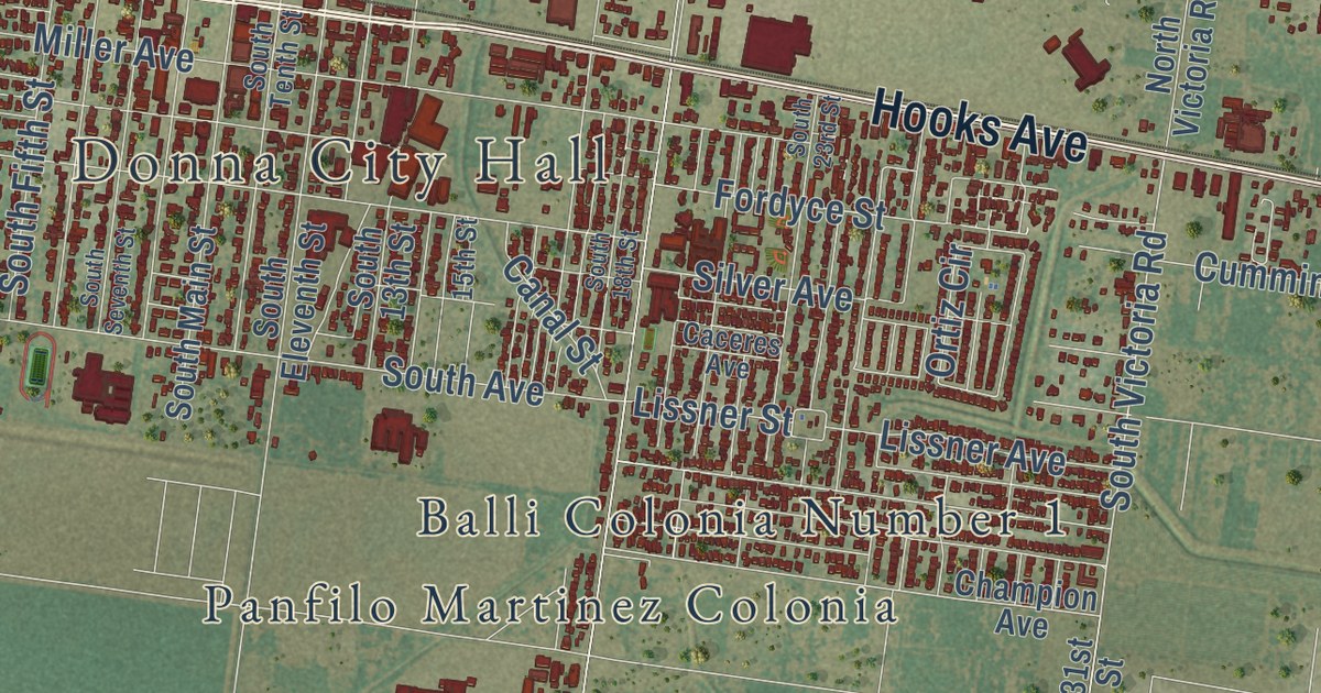
Street and place names on the Donna, Texas map
These names are printed on the map of Donna, Texas.
Places: Donna City Hall, Balli Colonia Number 1, Benita Addition Colonia, Clark Colonia, Colonia Whalen Road, Lunar Heights Colonia, Panfilo Martinez Colonia, Runn, Val Verde and Vertress Colonia.
Streets and roads: North Main Street, Hooks Avenue, Vertrees Road, South Victoria Road, North First Street, Scobey Avenue, South First Street, FM 493, South FM 493, South Salinas Boulevard, North Avenue, Miller Avenue.
More street names, A to Z
15th Street, 31st Street, Apollo Drive, Billman Road, Bravo Drive, Caceres Avenue, Canal Street, Carrol Street, Cedar Drive, Cedar Street, Champion Avenue, Cherokee Drive, Ciro Street, Cummings Lane, Donna Road, Dylan Street, East Roberts Avenue, FM 1423, Fordyce Street, Golie Road, Hester Avenue, Hester Street, Johnson Lane, Lissner Avenue, Lissner Street, Live Oak, Madison Street, McAllen Street, Midway Road, Mile 9 Road, Military Highway, Murphy Avenue, North 13th Street, North 17th Street, North Eleventh Street, North Fifth Street, North Hutto Road, North Salinas Boulevard, North Sixth Street, North Third Street, North Valley View Road, North Victoria Road, Oleander Circle, Ortiz Circle, Pepper Tree Drive, Pine Street, Ramsey Road, Ray Street, Redskin Avenue, Reid Avenue, Ruben Street, Silver Avenue, Silver Court, South 13th Street, South 18th Street, South 23rd Street, South Avenue, South Eleventh Street, South Fifth Street, South Hutto Road, South Main Street, South River Road, South Seventh Street, South Tenth Street, South Third Street, Stites Road, Sunset Boulevard, Teri Street, Valley View Road, Victoria Palms Boulevard, Walker Road, Whalen Road, Wood Avenue.
See the Donna, Texas map on a wall
The Donna map as an 18 x 24 inch print in a black frame.

This beautifully detailed map of Donna makes an attractive addition to your office, library, or den, and it can even be used to teach children the geography and history of the area. It also makes a great gift for someone who left Donna and still calls it home. When you’re done exploring, click here to get your copy of the Donna map.