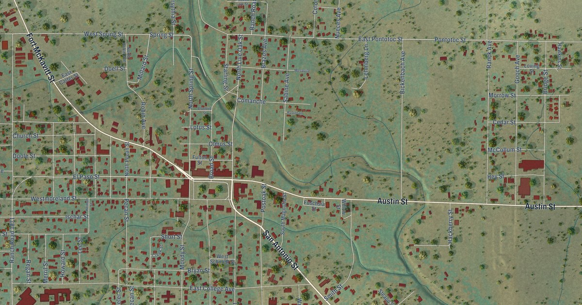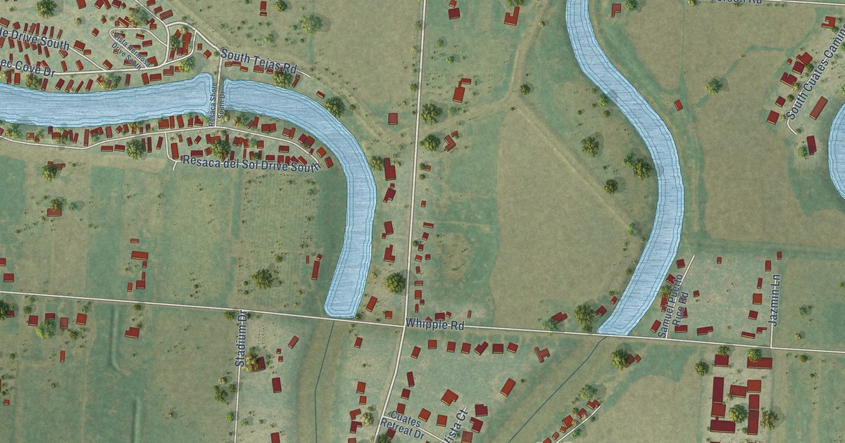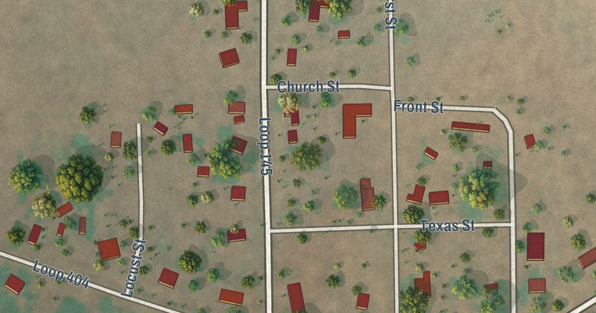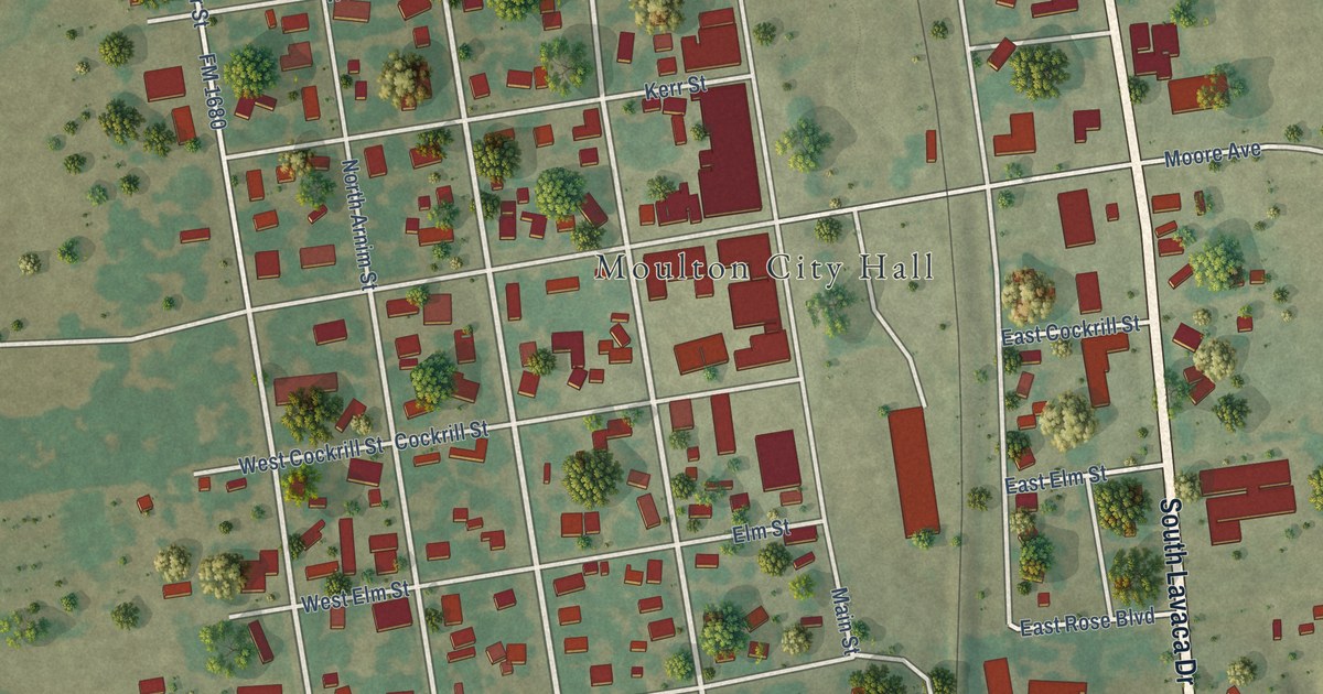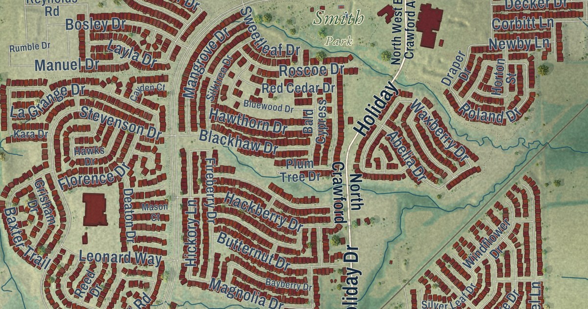
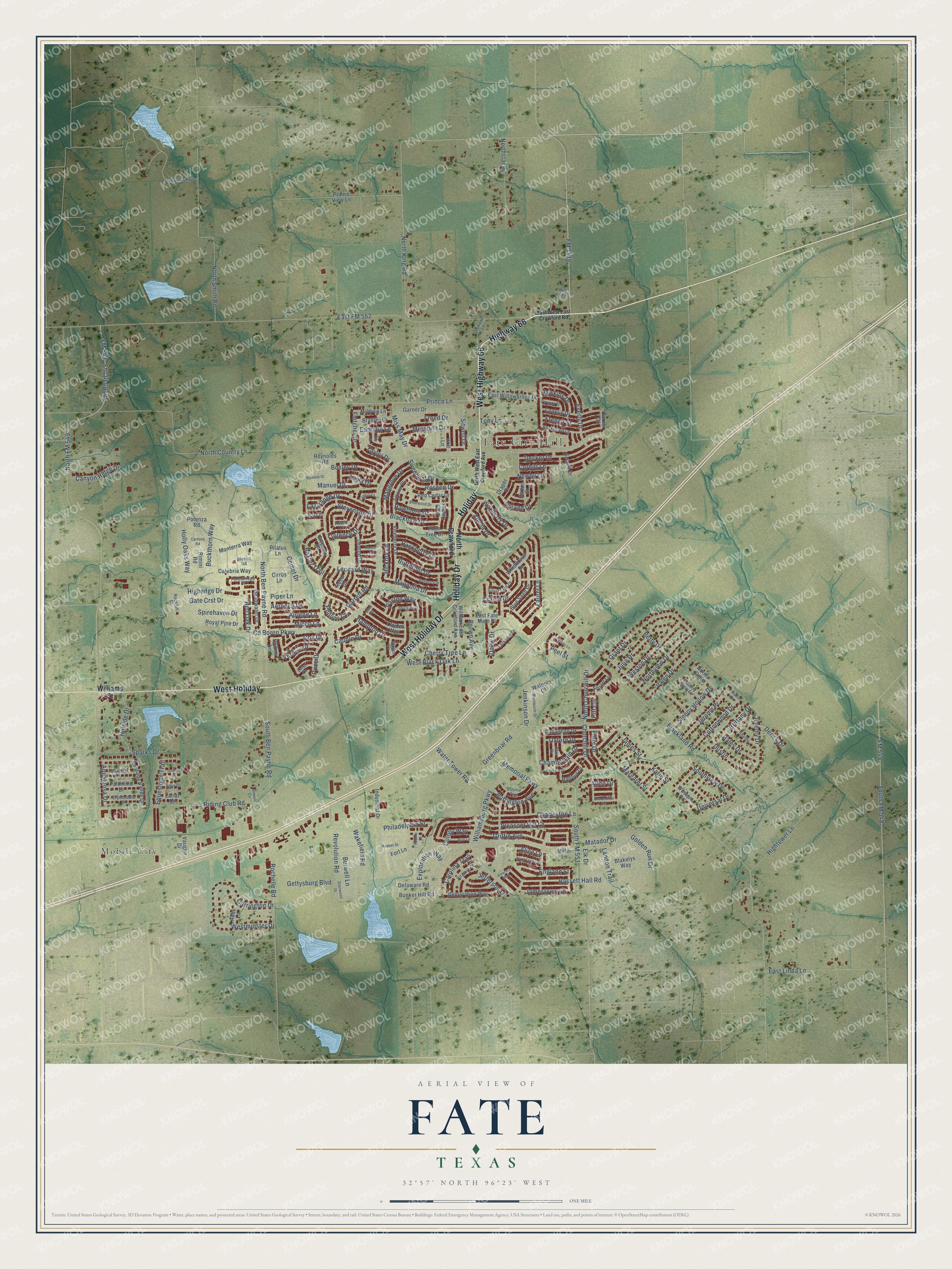
This beautifully detailed map of Fate, Texas was created in 2026 using aerial imagery combined with modern topographical, census, street and landmark data. It’s a one-of-a-kind view of Fate that combines accurate data with a vintage aesthetic. The map shows every building in its true location, many of the roads carry their names, and the shaded topographic relief shows the shape of the land.
Explore an aerial view of Fate, Texas
On the map you’ll find Fate City Hall, Smith Park, Mobile City, West Holiday, and Holiday, along with West Holiday Drive, Highway 66, West Highway 66, Holiday Drive, West Black Oak Lane, Brown Avenue, FM 1138, and more. If you look closely you can even find your house accurately drawn in its correct location. Zoom in on the preview to look for yours.
Did you know this piece of Fate, Texas history?
From the Handbook of Texas: "The railroad built through later that year, and the residents and businesses of Fate moved to the new community."
Take a closer look at the Fate map
Street and place names on the Fate, Texas map
These names are printed on the map of Fate, Texas.
Places: Fate City Hall, Smith Park and Mobile City.
Streets and roads: Highway 66, West Holiday Drive, West Highway 66, Holiday, Holiday Drive, West Holiday, FM 1138, West Black Oak Lane, Brown Avenue, Churchill Drive, FM Road 549, Wakefield Road.
More street names, A to Z
Abby Lane, Abelia Drive, Aeronca Drive, Airlene Lane, Alice Lane, America Way, Appaloosa Drive, Atlee Drive, Azalea Drive, Bald Cypress, Baldwin Drive, Balfour Drive, Bassett Hall Road, Baxter Trail, Bayberry Drive, Betty Drive, Bill City Lane, Blackhaw Drive, Blackland Road, Blair Drive, Blakelys Way, Bleriot Road, Blue Sage Drive, Bluewood Drive, Bosley Drive, Bradley Drive, Brittany Drive, Buck Drive, Buckthorn Way, Buffington Avenue, Bunker Hill Road, Burr Lane, Burwell Lane, Butternut Drive, Calebria Way, Callaghan Drive, Canyon Ridge Drive, Carolina Trail, Carrington Drive, Cartona Road, Cascade Valley Drive, Cauble Drive, Cayden Court, Cd Boren Parkway, Chamberlain Drive, Charleston Lane, Cherry Tree Lane, Cirrus Lane, Clydesdale Drive, Collins Lane, Colonial Trce, Colony Way, Comet Drive, Conklin Drive, Corbitt Lane, Cottonwood Drive, Country View Lane, Cox Drive, Coyote Run, Daisy Drive, Darner Drive, Deaton Drive, Decker Drive, Declaration Way, Delaware Road, Derick Drive, Devonshire Lane, Dismore Lane, Dowell Circle, Draper Drive, Dustin, East Fate Main Place, East FM 552, East Linda Lane, East West East Crawford Road, East Willowbrook Lane, Eden Drive, Edmund Lane, Elk Drive, Ella Lane, England Street, Equestrian Trail, Evans Drive, Everly Drive, Exploration Way, Fireberry Drive, Fitzroy Lane, Fletcher Drive, Florence Drive, FM 548, FM 549, Forestridge Drive, Fort Lane, Freed Drive, French Street, Garner Drive, Garrett Road, Gate Crst Drive, Gettysburg Boulevard, Golden Run Drive, Grant Drive, Greenbriar Road, Griffin Avenue, Grisham Drive, Hackberry Drive, Haley Drive, Hampton Drive, Hankinson Lane, Hawkins Drive, Hawks Drive, Hawthorn Drive, Headwater Drive, Hickory Lane, Highedge Drive, Hightower Lane, Hillside Drive, Holly Oaks Way, Holt Lane, Horton Street, Hunt Farms Road, Industrial Drive, James Street, Jamestown Lane, Jefferson Lane, Jenkinson Drive, Jeremy Drive, Jerome Pr, Julia Drive, Kara Drive, Katie Street, La Grange Drive, Landon Trail, Lariat Drive, Larkspur Drive, Laurel Lane, Layla Drive, Leonard Way, Louder Way, Magnolia Drive, Mangrove Drive, Manuel Drive, Margaret Street, Mason Court, Matador Drive, Memorial Parkway, Meredith Drive, Micco Lane, Mildren Lane, Miller Lane, Miss May Drive, Monterra Way, Musket Street, Mustang Drive, Newby Lane, Norma Gene, North Ben Payne Road, North Churchill Drive, North Country Lane, North Crawford, North FM 549, North King Road, North Smith Road, Northstar Road, Northview Drive, North West East Crawford Avenue, Oxford Drive, Palomino Drive, Parsons Street, Payton Way, Peel Street, Philadelphia Street, Phillips Court, Pilatus Lane, Piper Lane, Pitt Circle, Pleasant Hill Lane, Plum Tree Drive, Potenza Road, Prairie View Lane, Price Drive, Prince Lane, Red Cedar Drive, Red Oak Drive, Reed Drive, Revere Court, Revolution Road, Reynolds Road, Riding Club Road, Rimini Road, Rochelle Road, Rockhill Drive, Roland Drive, Roscoe Drive, Royal Pine Drive, Rumble Drive, Saddle Drive, Sewell Drive, Sharpley Drive, Shelby, Sherwood Drive, Silktree Drive, Silver Leaf Drive, Sitwell Drive, Sleepy Hollow Drive, South Ben Payne Road, South FM 548, South FM 551, Southview Drive, Sparks Drive, Spirehaven Drive, Spur Drive, Stevenson Drive, Stuart Lane, Sweetleaf Drive, Taylor Drive, Tony Lane, Universal Drive, Valen Drive, Vaughn Drive, Vernon Drive, Virginia Court, Waller Drive, Walpole Court, Water Tower Road, Waxberry Drive, Wentworth Drive, Western Drive, Westminster Drive, Weston Drive, William East Crawford Avenue, Williamsburg Parkway, Williams Street, Windflower Drive, Zeter Drive.
See the Fate, Texas map on a wall
The Fate map as an 18 x 24 inch print in a black frame.

This beautifully detailed map of Fate makes an attractive addition to your office, library, or den, and it can even be used to teach children the geography and history of the area. It also makes a great gift for someone who left Fate and still calls it home. When you’re done exploring, click here to get your copy of the Fate map.