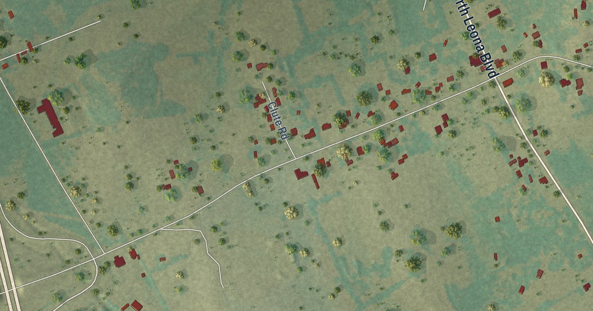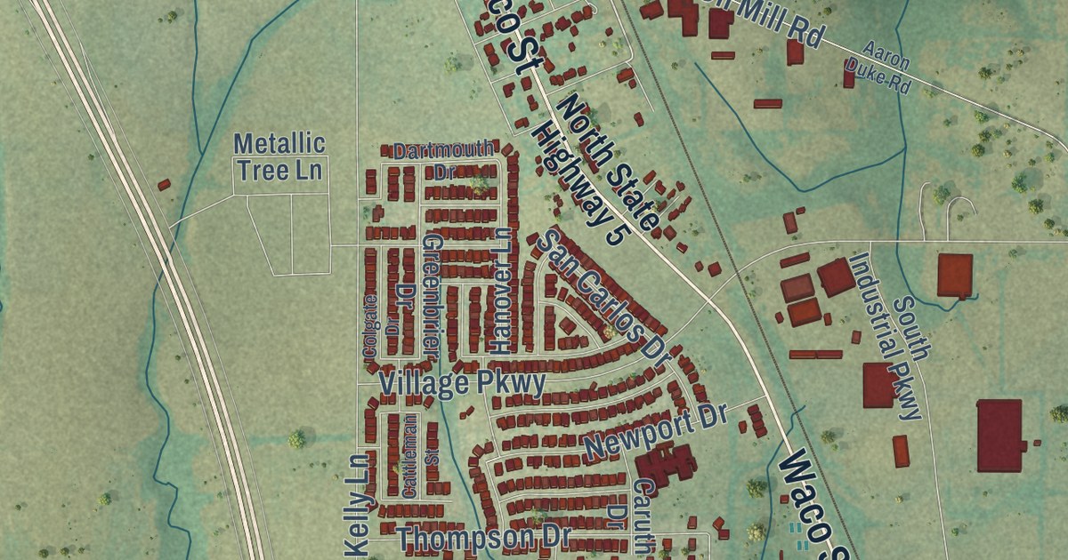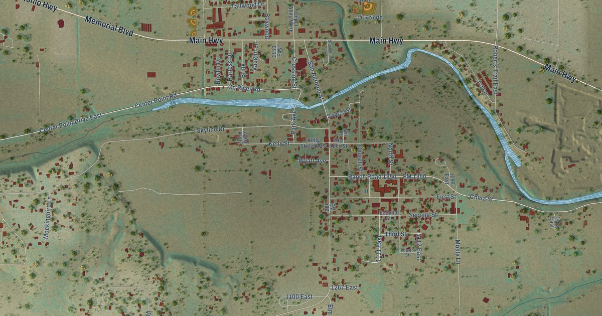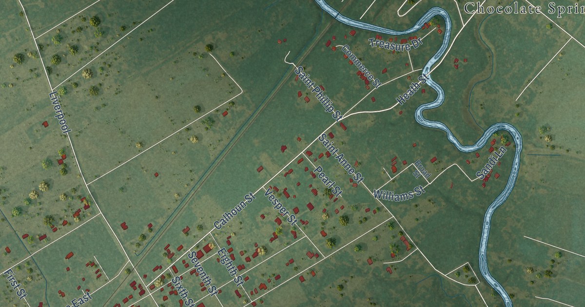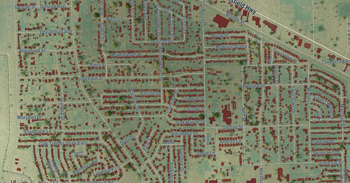
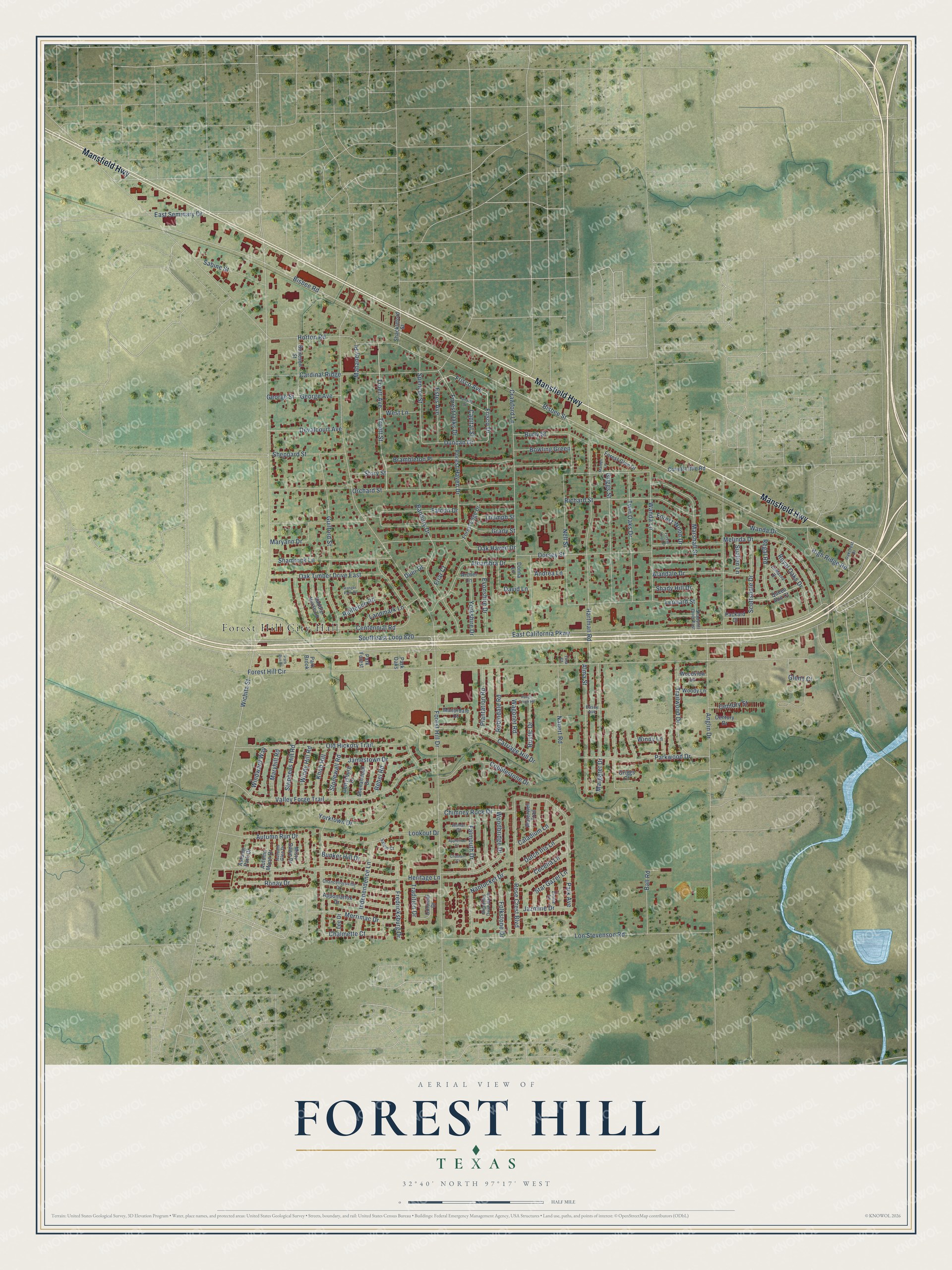
This beautifully detailed map of Forest Hill, Texas was created in 2026 using aerial imagery combined with modern topographical, census, street and landmark data. It’s a one-of-a-kind view of Forest Hill that combines accurate data with a vintage aesthetic. The map shows every building in its true location, many of the roads carry their names, and the shaded topographic relief shows the shape of the land.
Explore an aerial view of Forest Hill, Texas
On the map you’ll find Forest Hill City Hall and Southeast Loop 820, along with Mansfield Highway, East California Parkway, Wichita Street, Frisco Avenue, Frisco Drive, Marshall Street, Duncan Drive, Bisbee Road, Bisbee Street, Forest Hill Drive, and more. If you look closely you can even find your house accurately drawn in its correct location. Zoom in on the preview to look for yours.
Did you know this piece of Forest Hill, Texas history?
From the Texas Historical Commission: "One of the oldest burial grounds in Tarrant County; named for its location and used for many years before record-keeping began."
Take a closer look at the Forest Hill map
Street and place names on the Forest Hill, Texas map
These names are printed on the map of Forest Hill, Texas.
Places: Forest Hill City Hall.
Streets and roads: Mansfield Highway, East California Parkway, Southeast Loop 820, Wichita Street, Frisco Avenue, Frisco Drive, Marshall Street, Duncan Drive, Bisbee Road, Bisbee Street, Forest Hill Drive, Forest Hill Circle.
More street names, A to Z
Alandale Drive, Alhambra Drive, Alma Street, Andrea Lane, Anglin Drive, Anmar Court, Appletree Court, Appomattox Drive, Archer Lane, Autumn Glen Drive, Autumn Moon Drive, Autumn Park Drive, Autumn Run Drive, Ball Road, Banbury Drive, Bowling Green, Brambleton Place, Bunker Hill Drive, Burleson Street, Burly Street, Caladium Lane, Capital Street, Cardinal Ridge, Carriage Hill Drive, Casey Avenue, Cecelia Lane, Centennial Road, Century Drive, Century Street, Chalmette Court, Chancellorsville Drive, Chatham Court, Chimney Rock Drive, Cobblestone Drive, Collett Little Road, Colonial Drive, Crawford Lane, David Lane, Devalcourt Avenue, Donna Lane, Dorsey Street, Duer Drive, Dutch Iris Lane, East Seminary Drive, Embassy Drive, Estes Avenue, Evonshire Drive, Falcon Drive, Falmouth Drive, Folkstone Drive, Forest Edge Drive, Forest Glen Drive, Forest Haven Drive, Forest Knoll Drive, Forest Oaks Drive, Forest Wood Drive, Fredricksburg Drive, Friar Court, George Avenue, George Street, Gettysburg Drive, Glenn Court, Grady Street, Griggs Court, Griggs Street, Guilford Street, Hanger Park Drive, Hartman Road, Heritage Lane, High Ridge Road, Horton Road, Independence Lane, Jamestown Drive, Jazmine Drive, Knob Hill, Landmark Lane, Lee Drive, Leonard Street, Lon Stevenson Road, Lookout Drive, Mahaney Place, Maiden Lane, Manordale Court, Margaret Drive, Maryann Drive, Maryhill Road, Meadows Drive North, Melinda Drive, Merrimac Drive, Misty Dawn Drive, Nantucket Drive, Nauert Road, Nell Street, Oakcrest Drive, Oak Haven Drive, Oak Timber Drive East, Old Hickory Trail, Orchard Street, Packard Court, Panama Street, Park Avenue, Park Brook, Park Forest, Park Oaks, Park Run Drive, Parkwood Drive, Plantation Road, Queen Ann Court, Railfence Road, Rebel Road, Regal Road, Richard Street, Robindale Road, Ronay Drive, Rose Crest Boulevard, Rough Creek Road, Royal Oaks Drive, Rustic Drive, Sabine Street, Saddle Horse Lane, Salem Court, Scottsdale Drive, Shackleford Street, Shady Hill Drive, Shadyhill Drive East, Shamrock Lane, Shenandoah Drive, Sheppard Street, Spencer Street, Star Gazer Lane, Stephens Hill Road, Stonewall Road, Story Street, Suellen Lane, Tina Court, Tradition Drive, Trailwood Drive, Triumph Street, Truett Avenue, Truett Street, Twin Oaks Drive, Valley Forge Trail, Wagonet Road, Wanda Drive, Wanda Lane, Waterwell Trail, West Lane, Windward Way, Windy Hill Road, Windy Lane, Woodbridge Drive, Woodview Lane, Woody Lane, Yorkshire Drive, Yorktown Drive, Zinnia Lane.
See the Forest Hill, Texas map on a wall
The Forest Hill map as an 18 x 24 inch print in a black frame.

This beautifully detailed map of Forest Hill makes an attractive addition to your office, library, or den, and it can even be used to teach children the geography and history of the area. It also makes a great gift for anyone with Forest Hill roots. When you’re done exploring, click here to get your copy of the Forest Hill map.