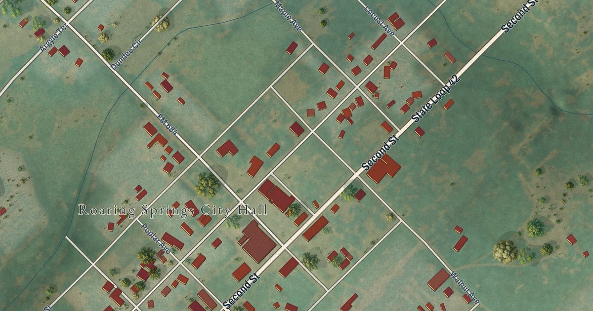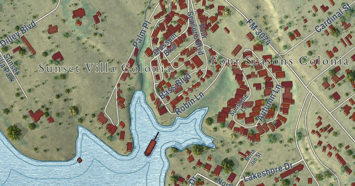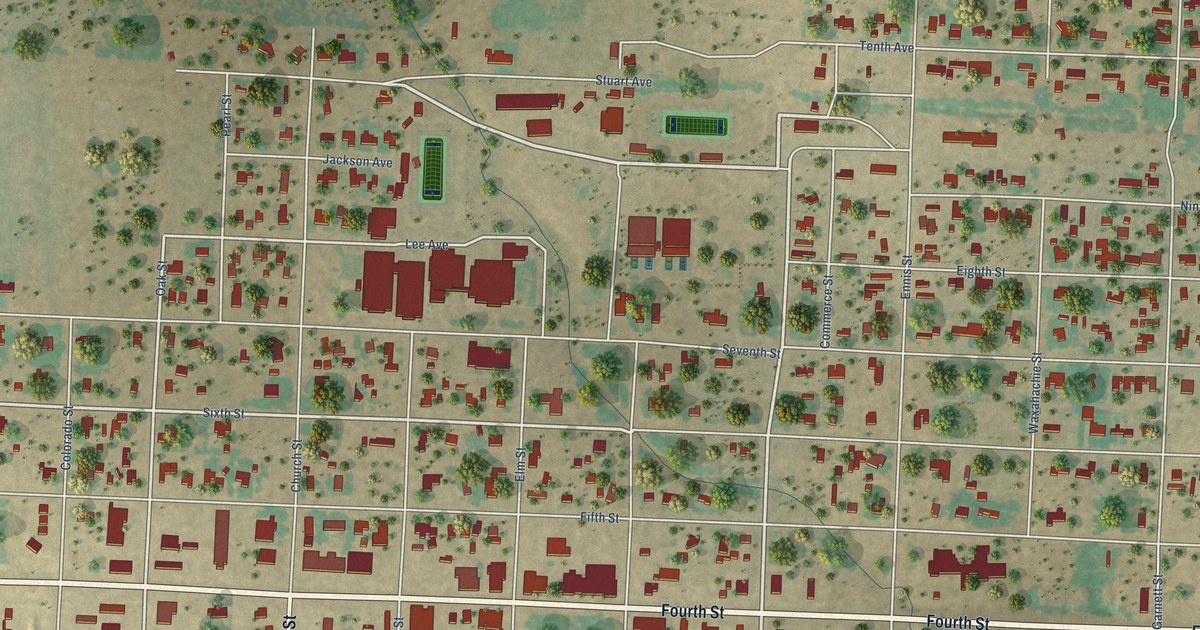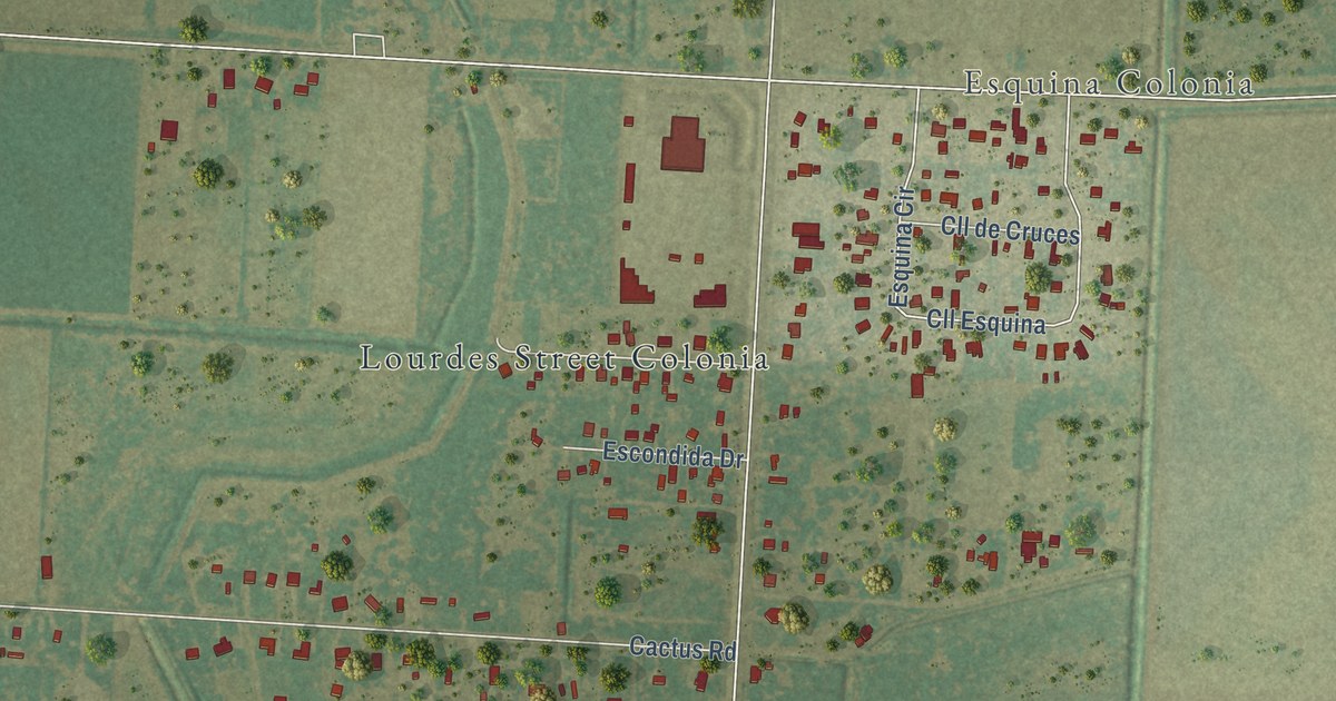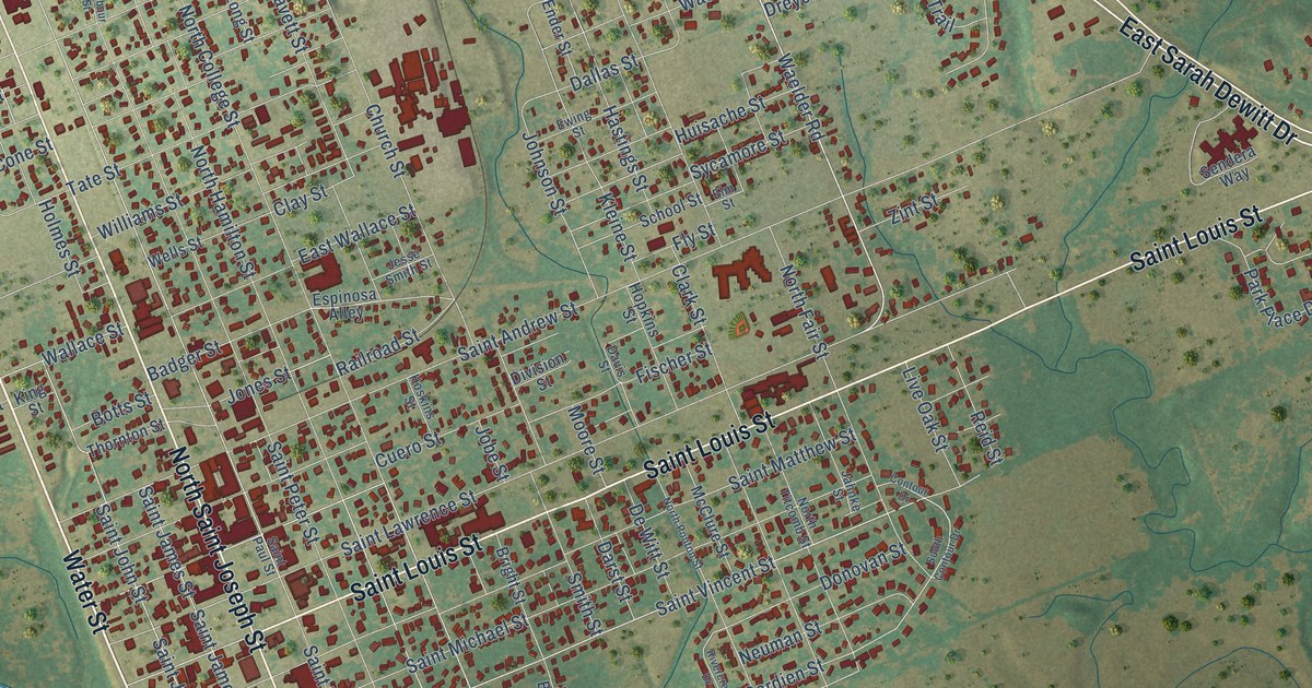
This beautifully detailed map of Gonzales, Texas was created in 2026 using aerial imagery combined with modern topographical, census, street and landmark data. It’s a one-of-a-kind view of Gonzales that combines accurate data with a vintage aesthetic. The map shows every building in its true location, many of the roads carry their names, and the shaded topographic relief shows the shape of the land.
Explore an aerial view of Gonzales, Texas
On the map you’ll find Independence Park, along with North Sarah Dewitt Drive, South US Highway 183, South Saint Joseph Street, North Saint Joseph Street, East Sarah Dewitt Drive, Saint Louis Street, Waelder Road, Water Street, Saint Vincent Street, Seydler Street, Saint John Street, and more. If you look closely you can even find your house accurately drawn in its correct location. Zoom in on the preview to look for yours.
Did you know this piece of Gonzales, Texas history?
From the Handbook of Texas: "In 1837 the Republic of Texas incorporated Gonzales and established Gonzales County, but the city council did not have its first meeting until March of 1839."
Take a closer look at the Gonzales map
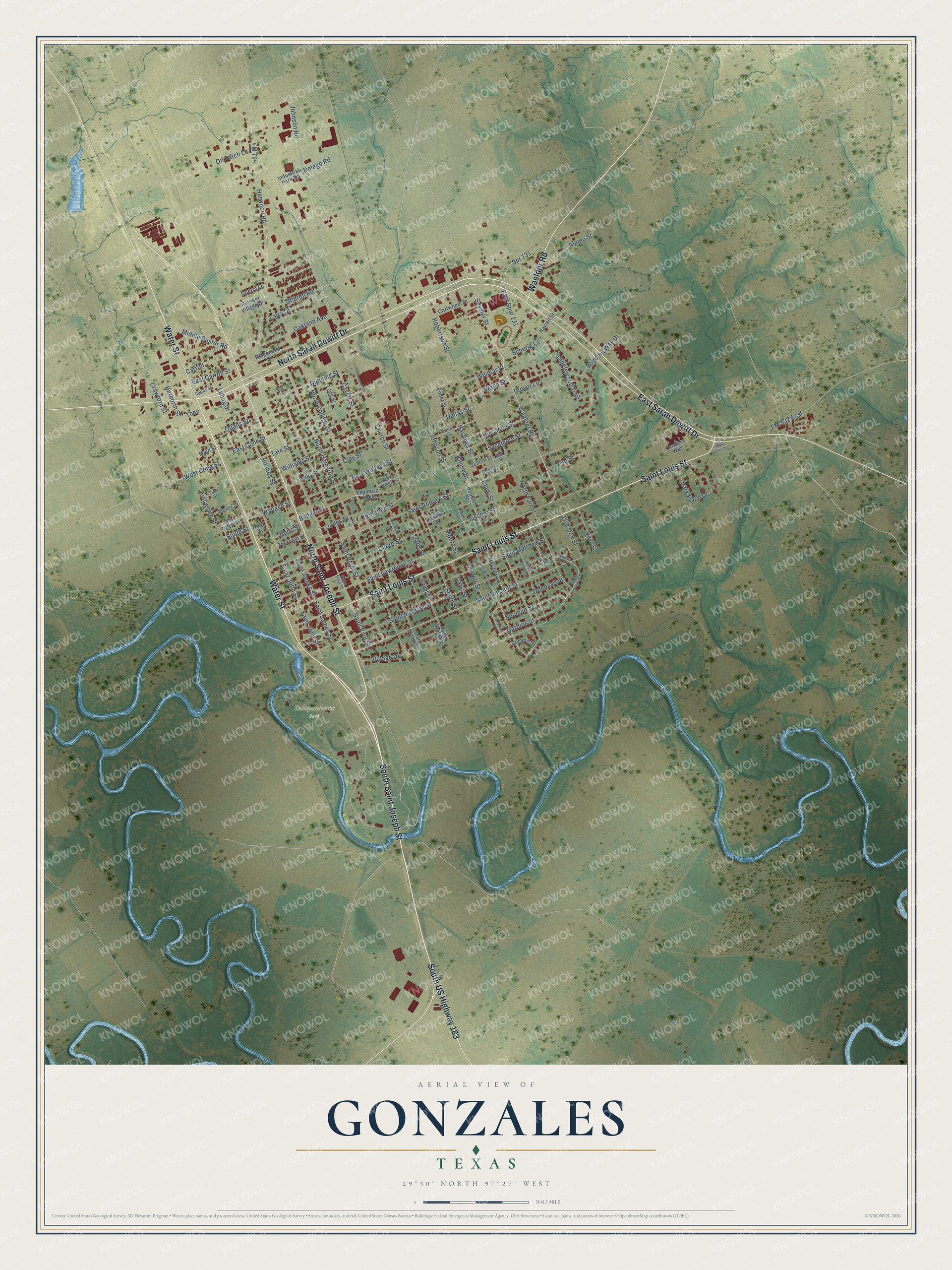
Street and place names on the Gonzales, Texas map
These names are printed on the map of Gonzales, Texas.
Places: Independence Park.
Streets and roads: North Sarah Dewitt Drive, South US Highway 183, South Saint Joseph Street, North Saint Joseph Street, East Sarah Dewitt Drive, Saint Louis Street, Waelder Road, Water Street, Saint Vincent Street, Seydler Street, Saint John Street, Gardien Street.
More street names, A to Z
Ainsworth Street, Alamo Street, Badger Street, Barbour Street, Botts Street, Bright Street, Capes Street, Carroll, Cartwheel Drive, Cavett Street, Church Street, Clark Street, Clay Street, Contour Drive, Crawford Street, Cuero Street, Dallas Street, Darst Street, Davis Street, Delago Road, De Witt Street, Division Street, Donovan Street, Dreyer Lane, Dunning Street, East Carroll Street, East Cone Street, East Spur 131, East Wallace Street, Elm Street, Ender Street, Espinosa Alley, Ewing Street, Fischer Street, Fly Street, FM 532 East, FM 794, Guerra Lane, Harborth Street, Harrell Street, Harwood Road, Hastings Street, Holmes Street, Hopkins Street, Hoskins Street, Huisache Street, Industrial Park Road, Jahnke Street, Jesse Smith Street, Jobe Street, Johnson Road, Johnson Street, Jones Street, King Street, Kleine Street, Larry Drive, Live Oak Street, Long Street, Luling Street, Main Street, McClure Street, Middle Buster Road, Moore Street, Morey Street, Neuman Street, North College Street, North Fair Street, North Hamilton Street, North Ponton Street, North Titcomb Street, Oakland Avenue, Oil Patch Lane, Park Place Drive, Pioneer Village Drive, Plum Street, Qualls Street, Railroad Street, Reid Street, Ridgemont Lane, Rivercrest Drive, Robertson Street, Saint Andrew Street, Saint James Street, Saint Lawrence Street, Saint Matthew Street, Saint Michael Street, Saint Paul Street, Saint Peter Street, School Street, Schurig Lane, Sendera Way, Smith Street, South Bright Street, South College Street, South Contour Drive, South Street, Spr 131, Stieren Road, Summit Drive, Sycamore Street, Tanglewood Trail, Tate Street, Theo, Thornton Street, Village Drive, Waco Street, Wallace Street, Weimar Street, Wells Street, West Cone Street, West Wallace Street, Williams Street, Winding Way Drive, Zint Street.
See the Gonzales, Texas map on a wall
The Gonzales map as an 18 x 24 inch print in a black frame.

This beautifully detailed map of Gonzales makes an attractive addition to your office, library, or den, and it can even be used to teach children the geography and history of the area. It also makes a great gift for anyone who grew up in Gonzales or moved away. When you’re done exploring, click here to get your copy of the Gonzales map.