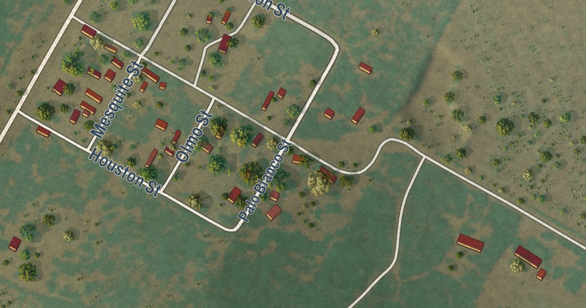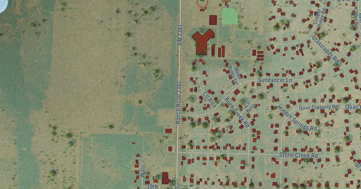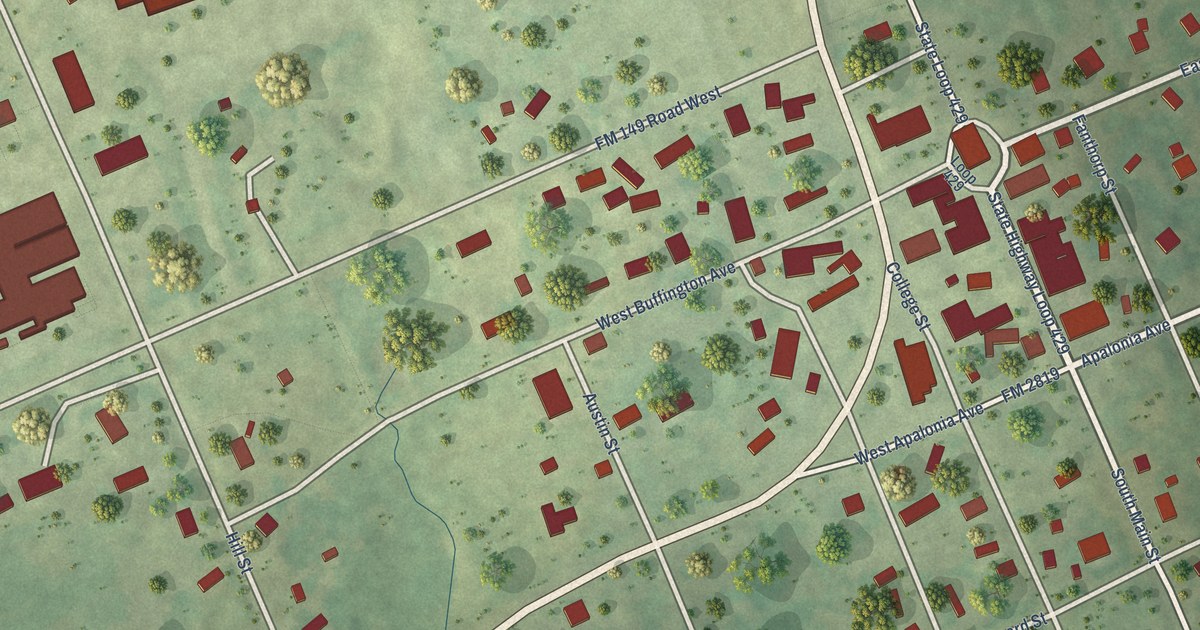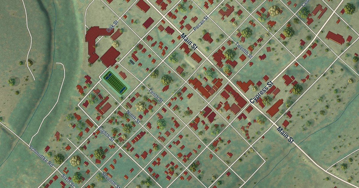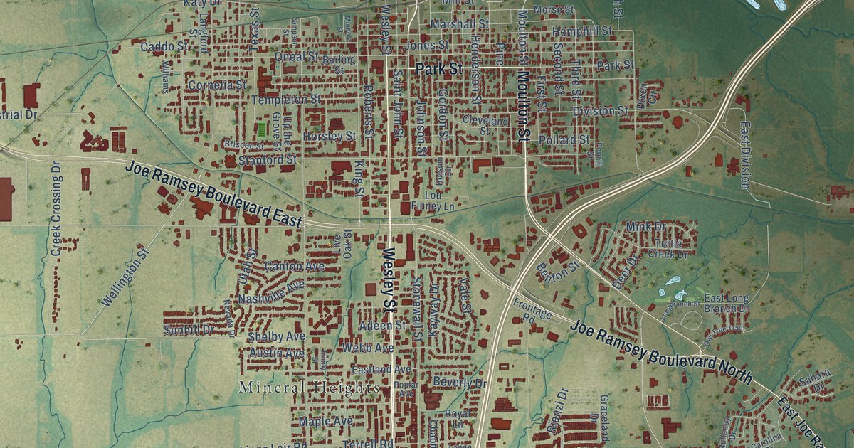
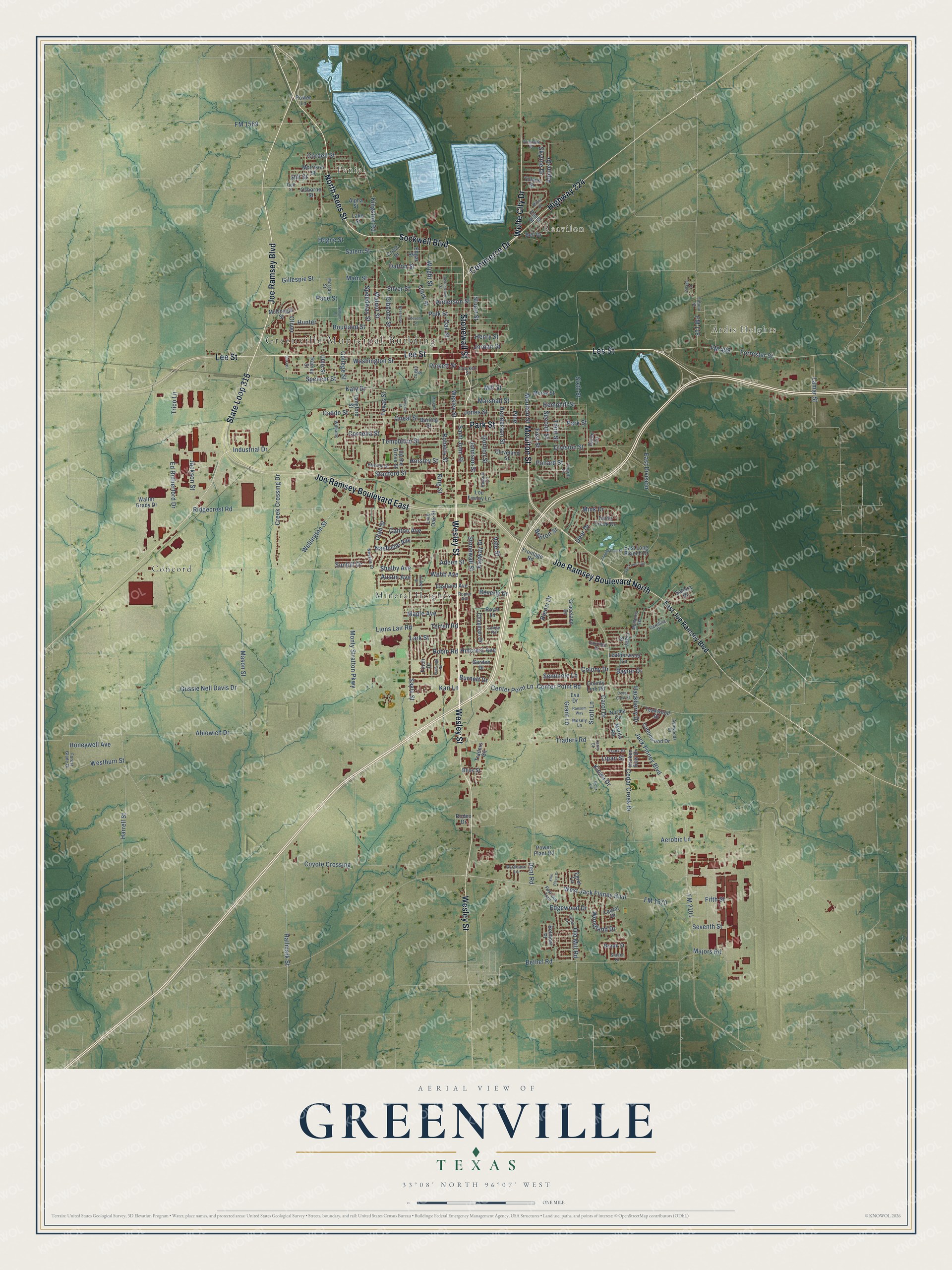
This beautifully detailed map of Greenville, Texas was created in 2026 using aerial imagery combined with modern topographical, census, street and landmark data. It’s a one-of-a-kind view of Greenville that combines accurate data with a vintage aesthetic. The map shows every building in its true location, many of the roads carry their names, and the shaded topographic relief shows the shape of the land.
Explore an aerial view of Greenville, Texas
On the map you’ll find Greenville Municipal Building, Peniel, Reavilon, Ardis Heights, Concord, and Mineral Heights, along with Wesley Street, Stonewall Street, Joe Ramsey Boulevard, Moulton Street, Park Street, Joe Ramsey Boulevard East, and more. If you look closely you can even find your house accurately drawn in its correct location. Zoom in on the preview to look for yours.
Did you know this piece of Greenville, Texas history?
From the Handbook of Texas: "Greenville's first school opened in the county courthouse in 1847; by 1850 a one-room school building had been erected to house the Greenville Institute, a private primary school."
Take a closer look at the Greenville map
Street and place names on the Greenville, Texas map
These names are printed on the map of Greenville, Texas.
Places: Greenville Municipal Building, Peniel, Reavilon, Ardis Heights, Concord and Mineral Heights.
Streets and roads: Wesley Street, Stonewall Street, Joe Ramsey Boulevard, Moulton Street, Park Street, Joe Ramsey Boulevard East, Sockwell Boulevard, Lee Street, Joe Ramsey Boulevard North, State Loop 315, Commerce Drive, North Rees Street.
More street names, A to Z
Ablowich Drive, Aerobic Lane, Aileen Street, Alpha Street, Alpine Drive, Anderson Street, Ashwoods Drive, Austin Avenue, Barling Street, Baylor Drive, Beauchamp Street, Bell Drive, Belmont Place, Benton Street, Bethel Road, Beverly Drive, Bliss Street, Bordeaux Lane, Bourland Street, Briscoe Street, Broken Bow Drive, Brook Street, Burnett Drive, Caddo Street, Canton Avenue, Carol Drive, Carolina Drive, Carver, Cedar Creek Drive, Cedar Crest Street, Center Point Lane, Center Point Road, Chapman Drive, Clark Street, Cleveland Street, College Street, Colony Drive, Cordell Street, Cornelia Street, Cottonwood Drive, County Line Road, Coyote Crossing, Creek Crossing Drive, Crockett Street, Cross Drive, Dalton Street, Deer Drive, Dell Street, Dent Road, Division Street, Dixon Circle, East Division, East Joe Ramsey Boulevard, Eastland Avenue, East Long Branch Drive, Edgar Street, Edgewood Drive, Ed Rutherford Drive, Egret Lane, Ellis Place Drive, Esma Street, Eva Drive, Fannin Street, Fifth Street, Finch Drive, First Street, Flamingo Road, FM 118, FM 499, FM 1569, FM 1570, FM 2101, Forest Glade Drive, Forrester Street, Fourth Street, Frank Street, Frontage Road, Garden Drive, Gibbons Street, Gillespie Street, Gordon Street, Graceland Drive, Grant Lane, Gussie Nell Davis Drive, Hackberry Drive, Hallmark Street, Harrell Street, Hemphill Street, Henderson Street, Henry Street, Highway 224, Hillcrest Avenue, Hill Street, Hogne Street, Holsum Circle, Honeywell Avenue, Horsley Street, Hunter, Industrial Drive, Jack Finney Boulevard, Jackson Street, Johnson Street, Jones Street, Jordan Street, Kari Lane, Katy Drive, Kayway Drive, Kingston Road, King Street, Kiowa Drive, Lake Street, Lamar Street, Lange Road, Langford Street, Lark Street, Larry Court, Laurel Drive, Leatherwood Lane, Linda Lane, Lions Lair Road, Lipan Street, Live Oak Street, Logan Street, Longbranch Street, Lou Finney Lane, Main Street, Majors Road, Maple Avenue, Marita Road, Marshall Street, Mason Street, McDougal Street, Mill Street, Mineola Street, Mink Drive, Monty Stratton Parkway, Morgan Street, Morrison Street, Morse Street, Mosely Lane, Mullaney Drive, Nashville Avenue, Nevada Drive, Norma Circle, Oakridge Drive, Oak Street, Old Mill Road, Oliver, Oneal Street, Osborne Street, Owl Tree Trail, Pace Street, Pickett Street, Pine, Polk Street, Pollard Street, Poplar Avenue, Post Oak Trail, Power Lane, Power Plant Road, Rainey Street, Ransom Way, Ridgecrest Road, Rienzi Drive, Roberts Street, Robin Road, Rodeo Drive, Rosemary, Royal Lane, Sahara Drive, Saint John Street, Salem Street, Sayle Street, Scott Lane, Second Street, Seminole Lane, Seventh Street, Shelby Avenue, Silver Street, Simpson Street, Sioux Circle, Sixth Street, Skyline Drive, Snider Drive, Speedway Street, Spencer Street, Stanford Street, Stevens Street, Stuart Street, Sunhill Drive, Teakwood Drive, Templeton Street, Terrell Road, Texas Street, Third Street, Tracy Street, Traders Circle, Traders Road, Tremont Street, Trico Lane, Trinity Street, Tulane Street, Turtle Creek Drive, Up the Grove Street, Utah Street, Utilis Street, Vale Street, Village Street, Walnut Street, Walter Grady Drive, Washington Street, Webb Avenue, Wellington Street, Westburn Street, West Jack Finney Boulevard, Williams, Williams Street, Wilton Drive, Wolfe City Drive, Woodland Drive, Wright Street.
See the Greenville, Texas map on a wall
The Greenville map as an 18 x 24 inch print in a black frame.

This beautifully detailed map of Greenville makes an attractive addition to your office, library, or den, and it can even be used to teach children the geography and history of the area. It also makes a great gift for anyone with Greenville roots. When you’re done exploring, click here to get your copy of the Greenville map.